Jade Mountain (玉山) or "Yushan" as it is more commonly known by people here in Taiwan is the highest mountain in the country and is the fourth largest mountain on any island in the world. The mountain is an important symbol for Taiwan and its image is engrained in the minds of every person living in here making it one of the iconic images of this prosperous island nation.
Images of the mountain can be found all over the country in restaurants, businesses and civic buildings as well as inside the Taiwanese passport and on the back of the $1000 NTD dollar bill. No matter where you go in Taiwan the image of mountain is easily recognizable and the people here are proud of their mountain. Yushan is thus a hike that is a MUST for hikers and outdoorsy types in Taiwan and is one that I have hiked on three different occasions.
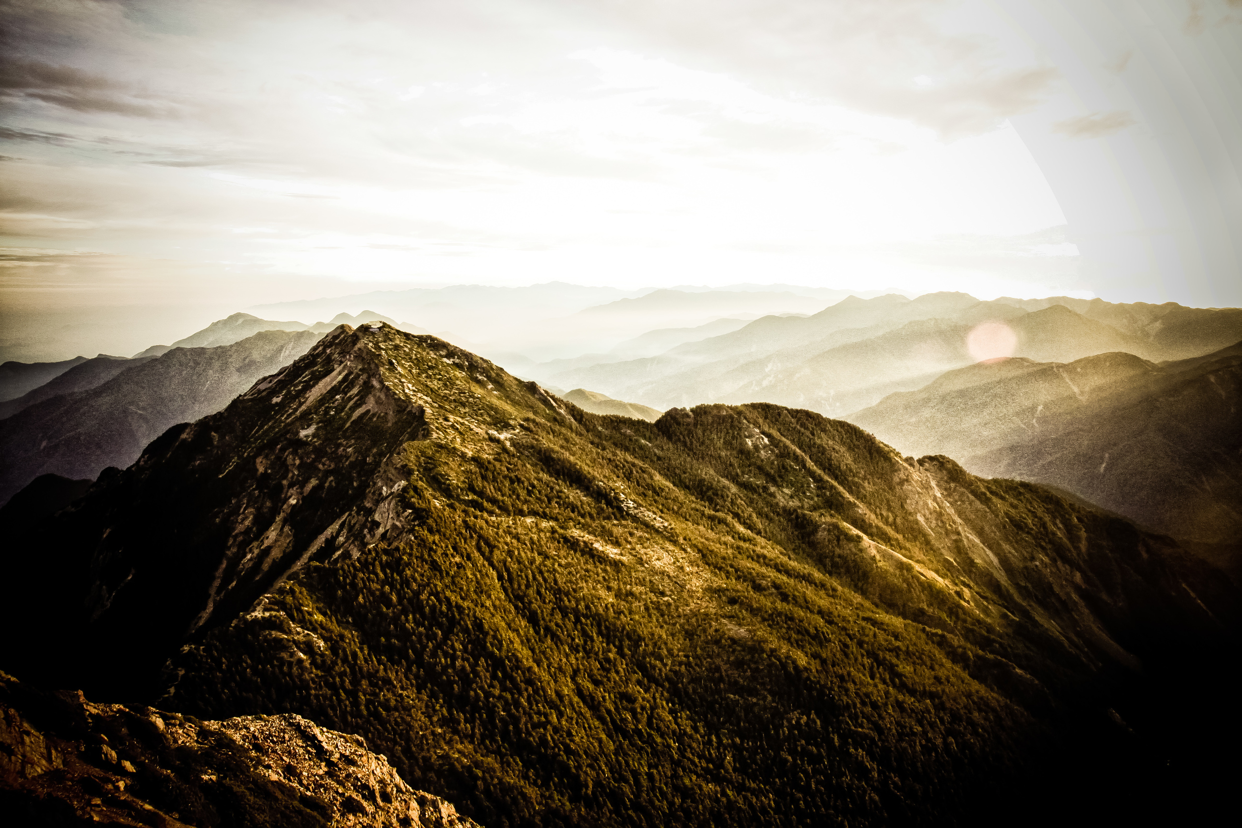
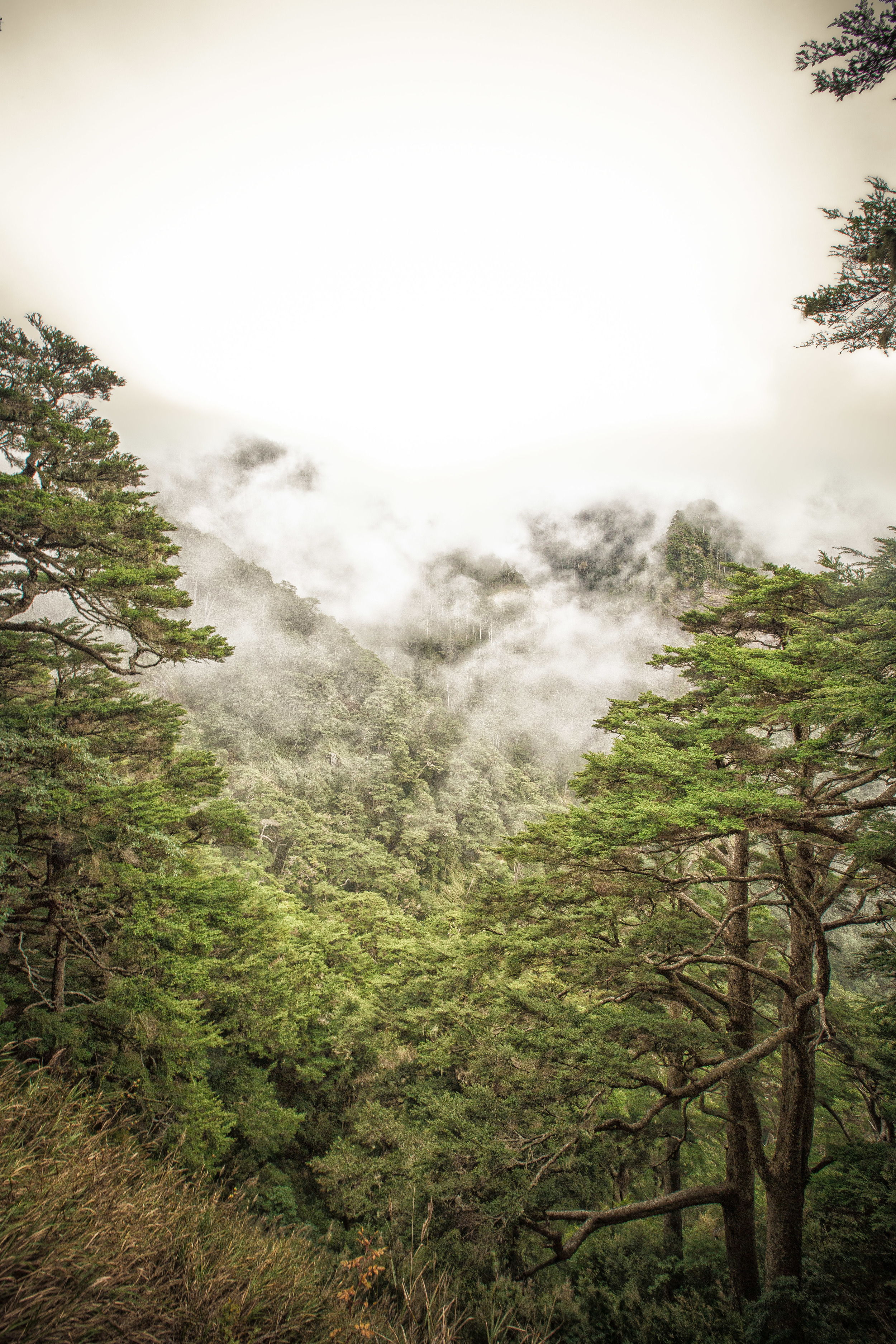
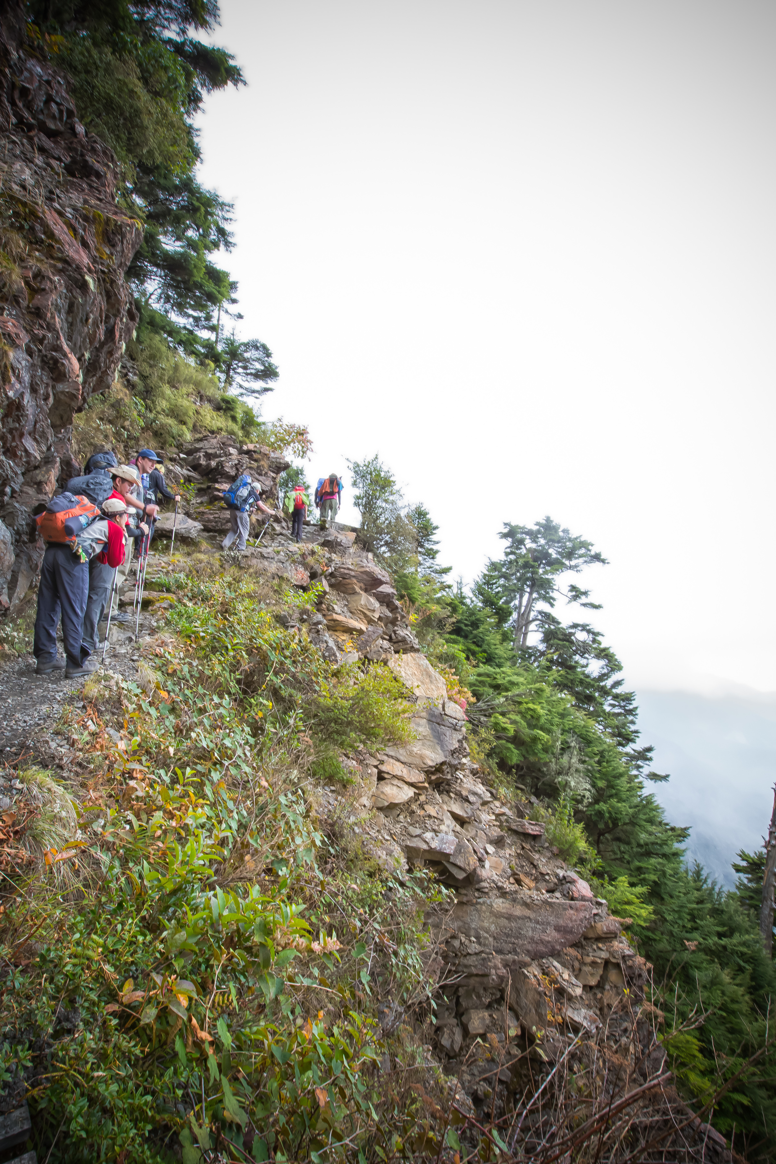
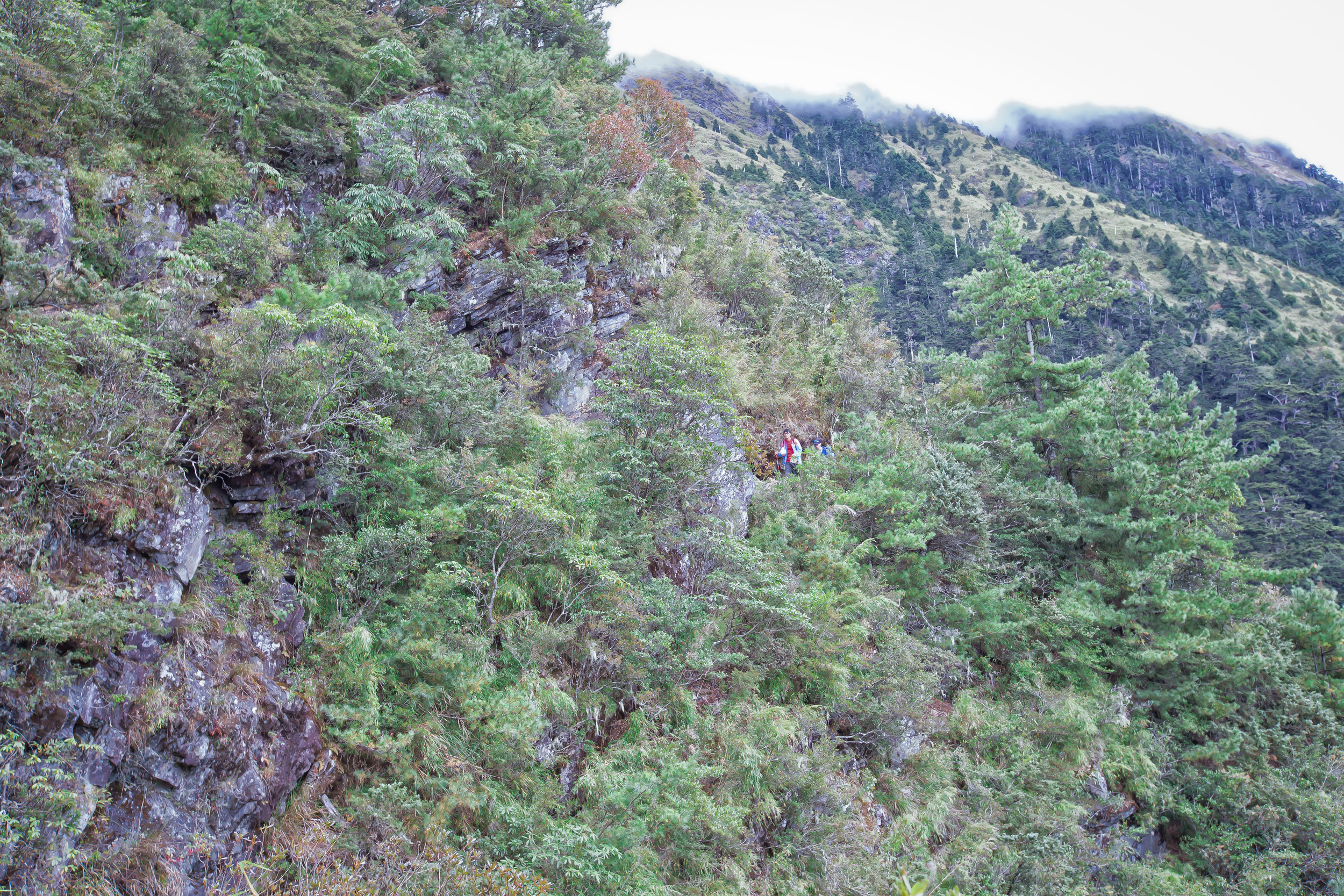
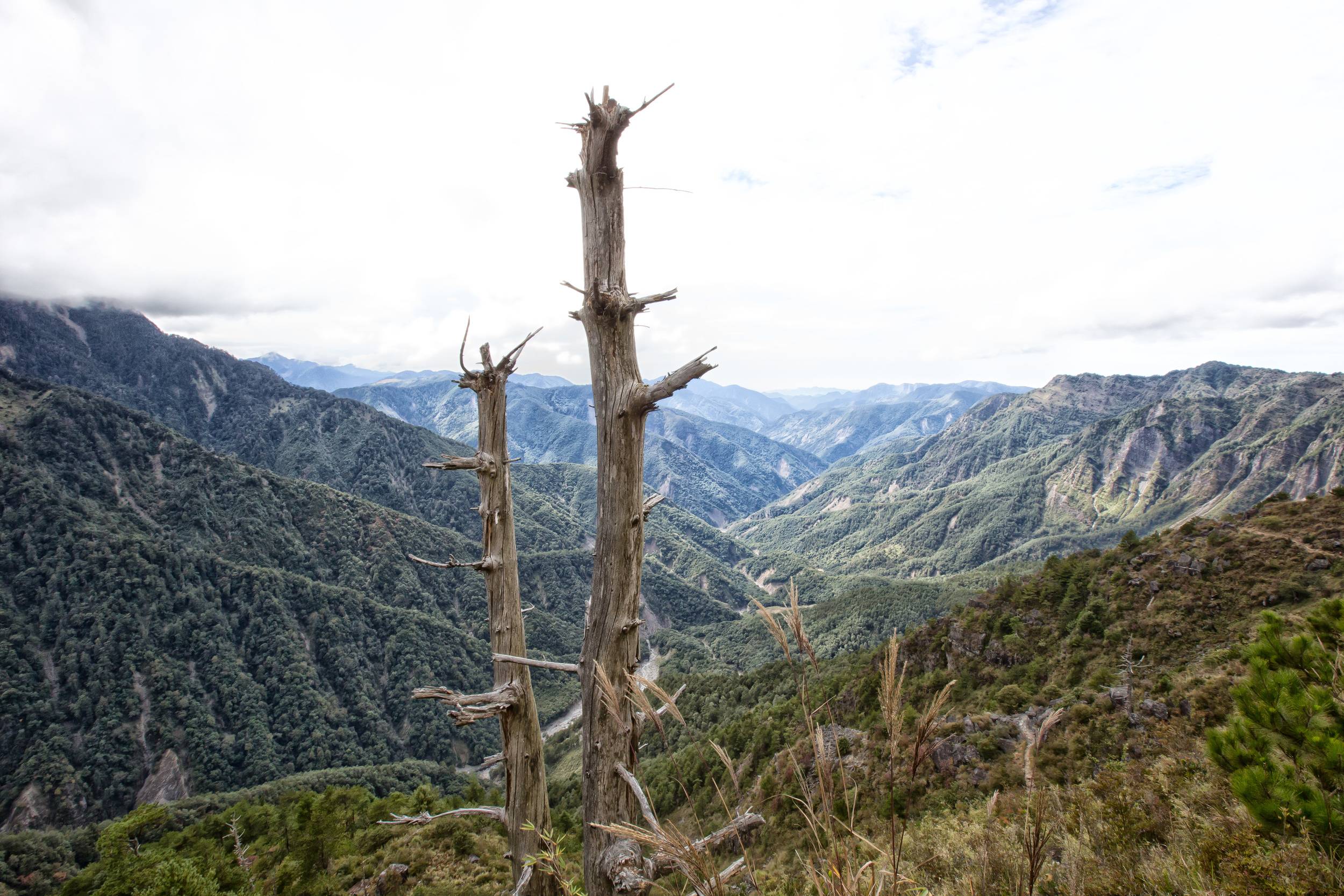
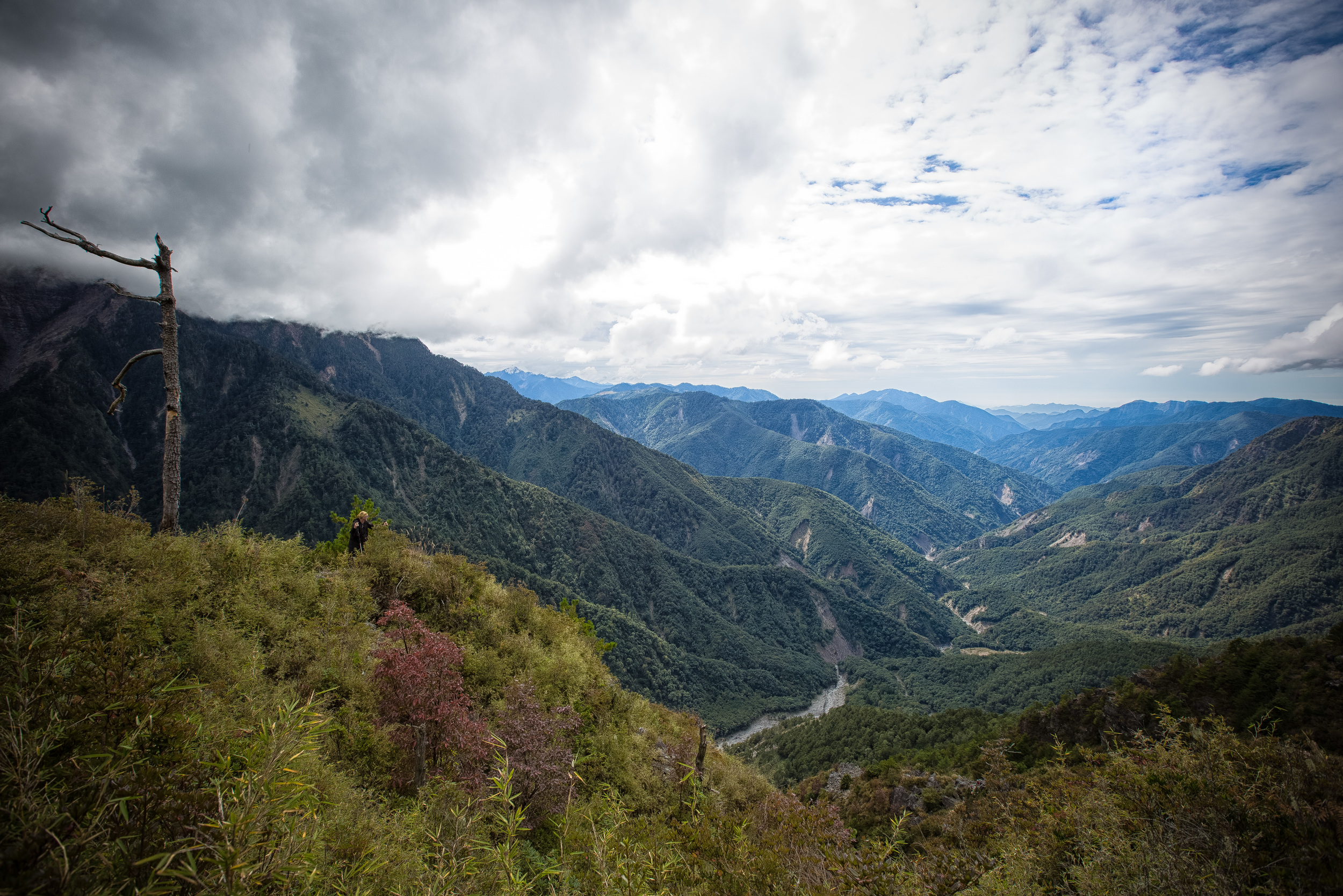
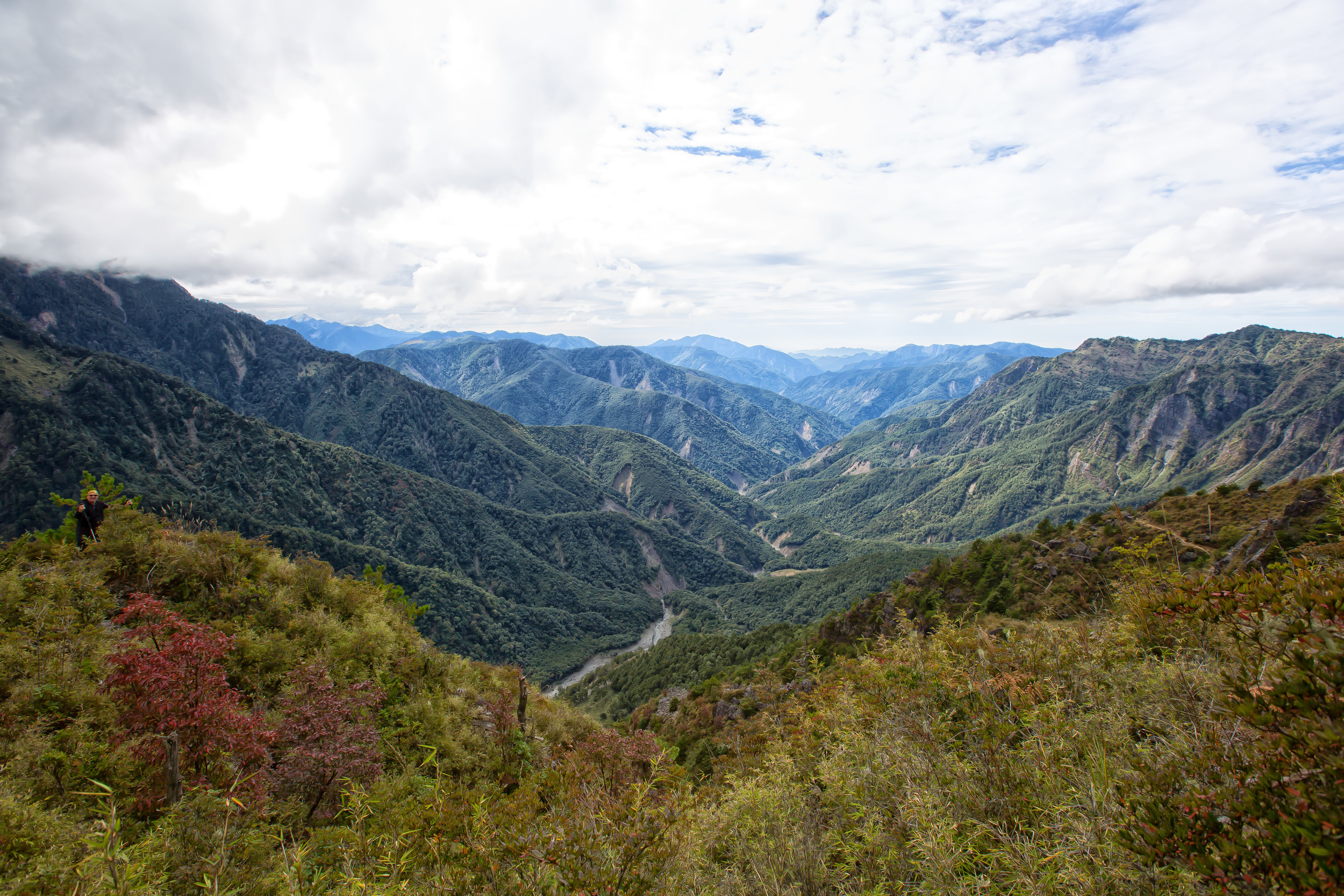
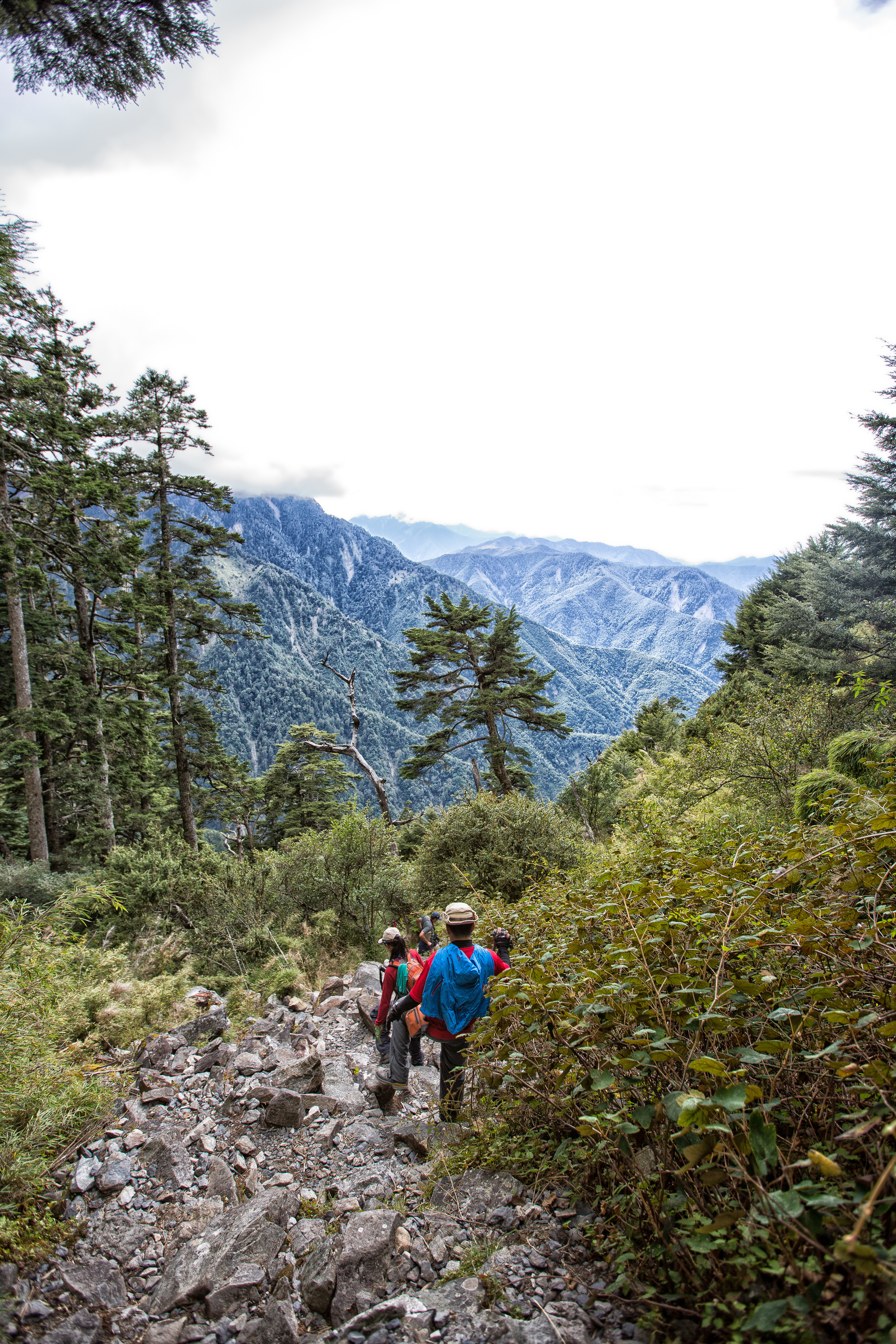
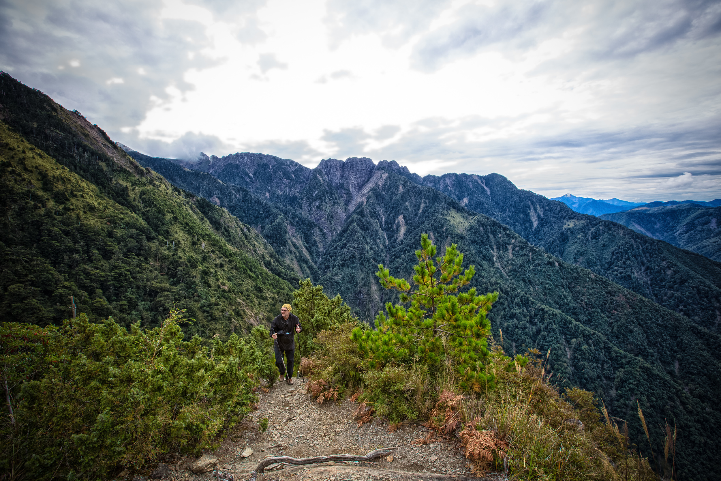
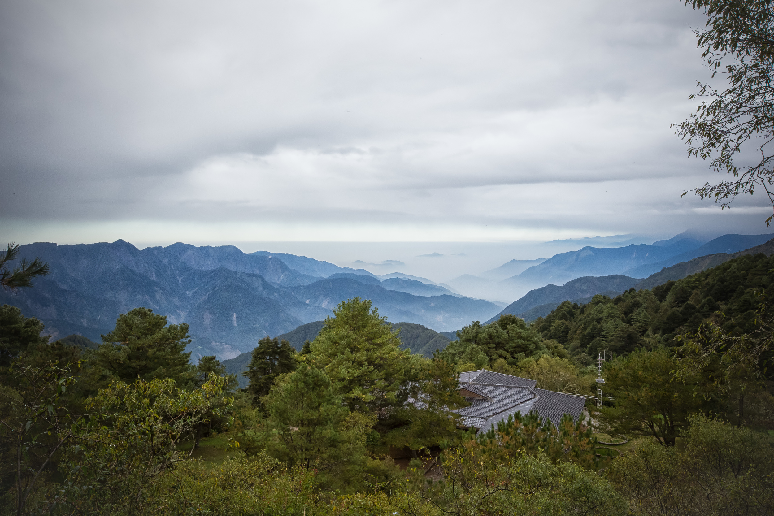
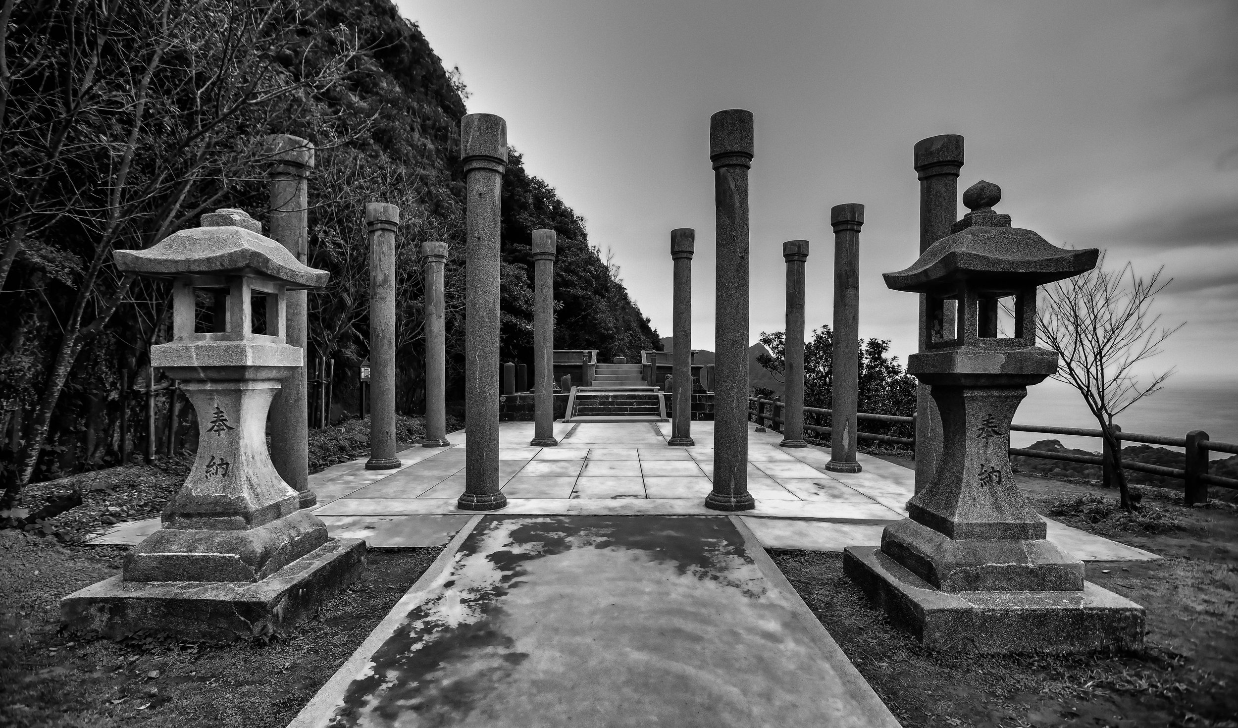
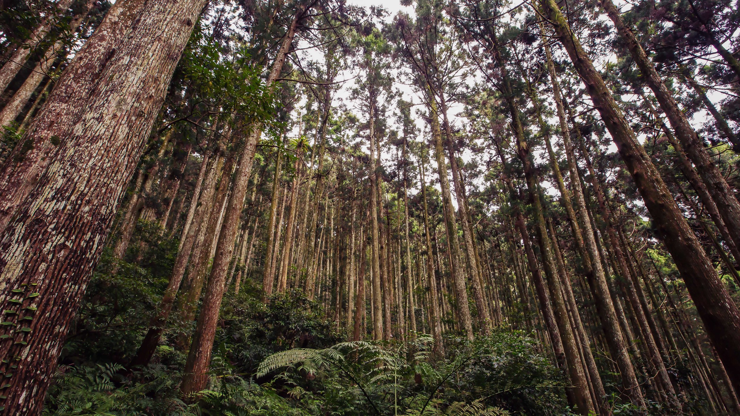
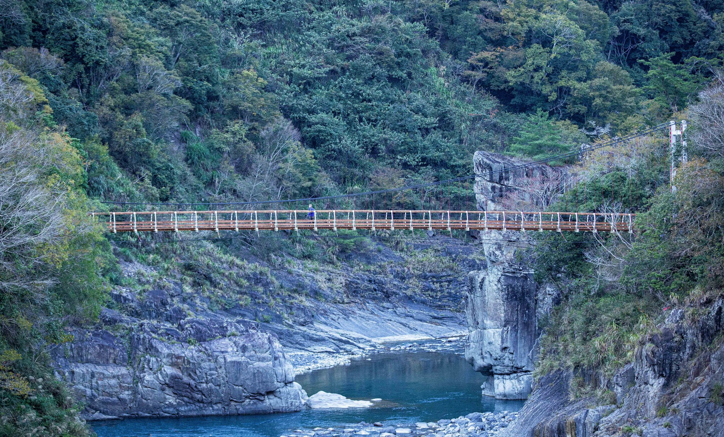
I had actually planned to hold off on writing this blog post until I hiked the mountain for a fourth time but I decided that I would share photos from my previous two hikes and then ultimately update the post with (better) photos from my next trip whenever that happens! The photos I'm sharing today are not only from two different hikes but from two different cameras. The second time I hiked Yushan I had a Canon 50D with great weather and the third time I was using my current Canon 5D3 which is a full frame camera and perfect for the beautiful panoramic landscapes on Yushan. The problem is that on my third time to hike the mountain the weather was terrible and the photos weren't up to what I consider my normal standard.
My plan with this post is to share photos, some logistical info about the hike and my personal experience hiking the mountain and who can help you get to the top. This hike is one of the best hikes in Taiwan and I highly recommend that even if you are not an avid hiker that you try it at least once as it is a life changing experience to say the least!
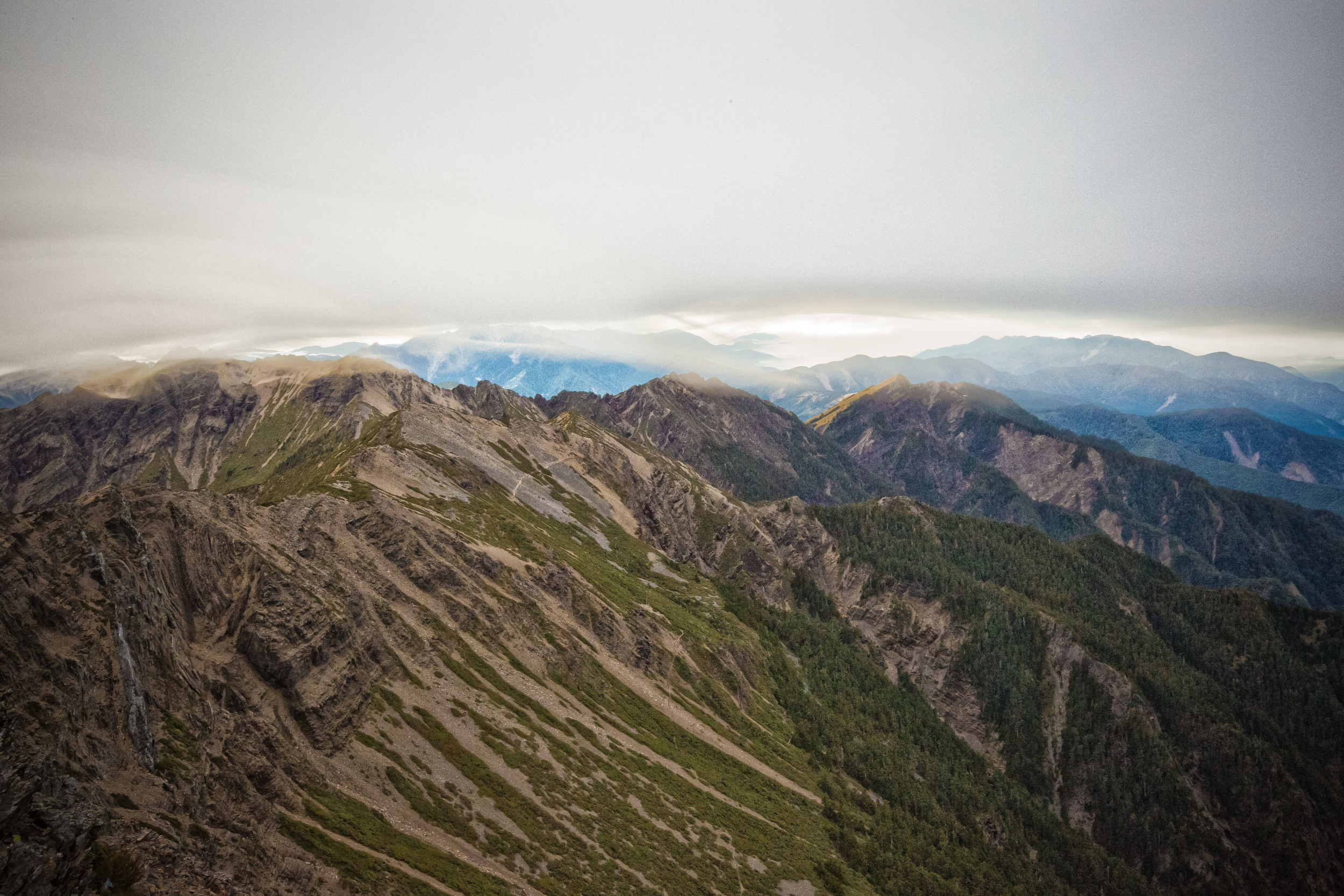
Jade Mountain sits within the much larger Yushan National Park (玉山國家公園) which covers a total of 103,121 hectares and includes a large section of Taiwan's Central Mountain Range (中央山脈) which splits Taiwan down the middle and separates the east from the west. The park contains 30 of Taiwan's 100 peaks (百岳) which are over 3000 meters and two-thirds of the rest of the park is well over 2000 meters above sea level.
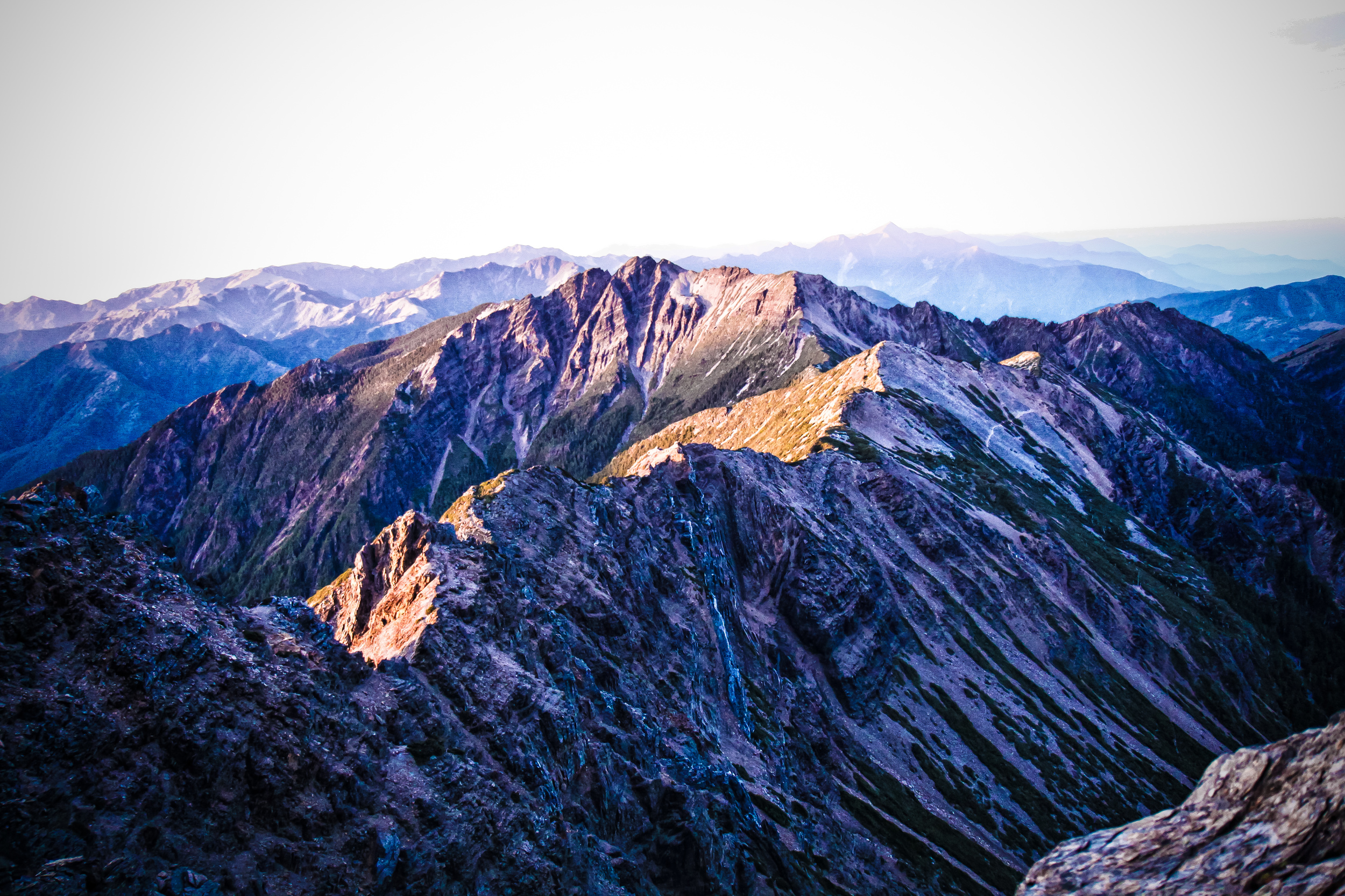
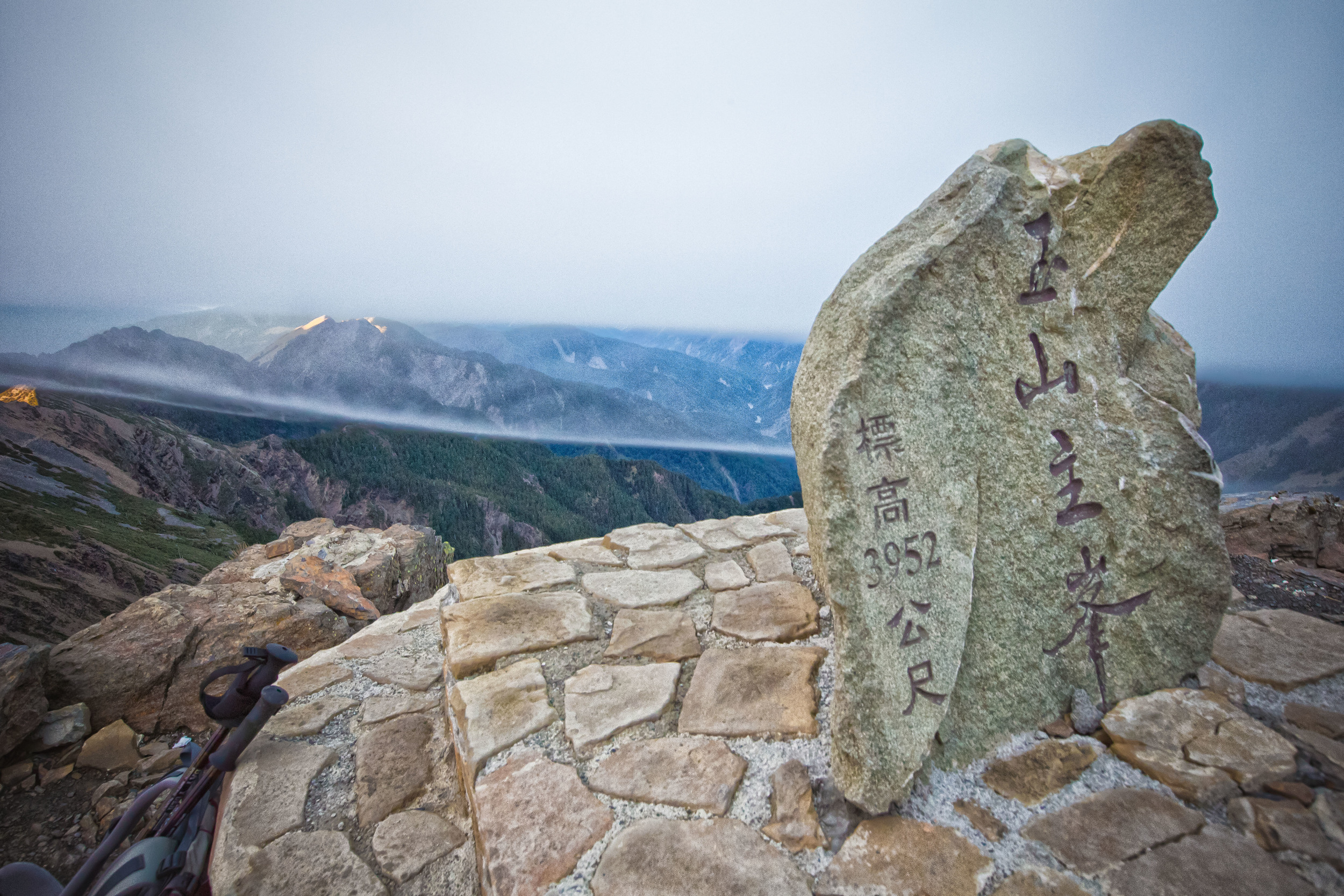
Jade Mountain proper consists of five different peaks which range in altitude between 3,952m (12,966ft) to 3,467m (11,375ft) and are as follows:
- The Main Peak (玉山主峰) - 3,952 m (12,966 ft.)
- The Eastern Peak (玉山東峰) - 3,869 m (12,694 ft.)
- The Northern Peak (玉山北峰) - 3,858 m (12,657 ft.)
- The Southern Peak (玉山南峰) - 3,844 m (12,612 ft.)
- The Western Peak (玉山西峰) - 3,467 m (11,375 ft.)
The hike to the main peak is a favourite with Taiwanese climbers as well as foreigners who often combine a trip to peak of Yushan with a trip to Kinabalu (Malaysia) and Fuji (Japan) to complete the trifecta of 'East Asian Giants'.
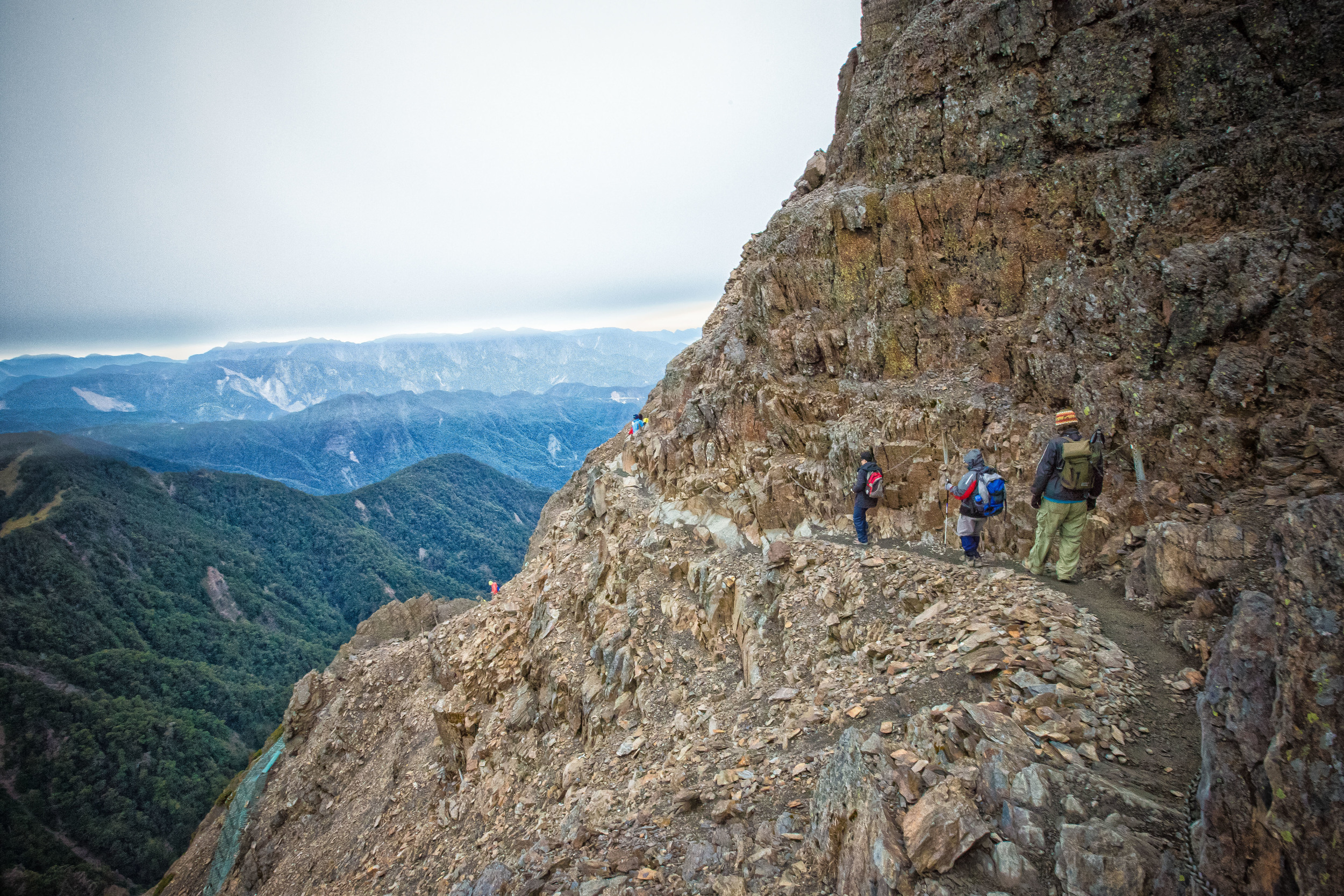
The mountain trail is for the most part a relatively easy hike and the trails are well developed making the hike accessible to able-bodies. While I say that the trail is relatively easy there are a few difficulties to keep in mind: The first is that the latter part of the hike from Paiyun Lodge (排雲山莊) to the main peak is considerably more difficult than the rest of the hike (and is typically done at a very early hour and in the dark). The second is the logistics of actually getting the necessary permits and bed space within the lodge - The hike is extremely popular and the amount of people that are allowed to go up and down each day is capped at around one hundred. It's not easy to get a spot, especially on weekends so if you plan on coming to Taiwan just for this hike you'll have to keep this in mind. While this might seem like a pain in the ass I think it is a great measure by the national park service to keep congestion off of the trails, preserve the natural surroundings of the mountain and ensure that accidents are controllable.
There are a few different options for hikes that are available - The first (and most common) is a three day/two night hike that is quite leisurely and enjoyable. For this hike you'll need a guide, permits and bed space at Paiyun Lodge. The second option is a much more insane one that involves completing the entire hike in a single day. You'll need permits to get in and you still need a trained guide to accompany you. There is space for 92 people in the lodge and costs $480NT/night while the permit to enter the park is free.
The best way to get to the mountain is to join one of the many hiking groups that actively plans trips to Yushan (as well as other mountains) and for a set fee will take care of transportation, permits, accident insurance, food and other logistics. For foreigners, the best groups to join would be Taiwan Adventures (which is run by foreigners) or the 523 Mountaineering group (a university group with avid hikers who speak English). Of the two, Taiwan Adventures might be the best because they are a much more active group and plan hikes all over Taiwan's high mountains. They also allow for private trips if you want to pay a little more for a personalized experience.
- Yushan National Park (Permits and Applications)
- Taiwan Adventures (Group Hikes and Guides)
- 523 Mountaineering Group (Group Hikes and Guides)
If you end up choosing the more enjoyable three day/two night trip your experience will likely be a little like this:
Day 1 - Getting to Tataka (塔塔加)
The hike to Yushan typically starts with a shuttle in Taipei. You get to meet the team leader and your fellow hikers and from there you make your way to Chiayi (嘉義) where you'll likely stop for something to eat and last minute preparations. From there it is likely that the shuttle will take you up the mountain road passing by Alishan (阿里山) and arriving at the Dongpu Villa (東埔山莊) where you'll have dinner, a quick shower and off to bed. If you arrive at the villa early enough you may go on a quick hike near the villa where you'll have great views of the mountain range.
Day 2 - Tataka Saddle (塔塔加鞍部) - Paiyun Lodge (排雲山莊)
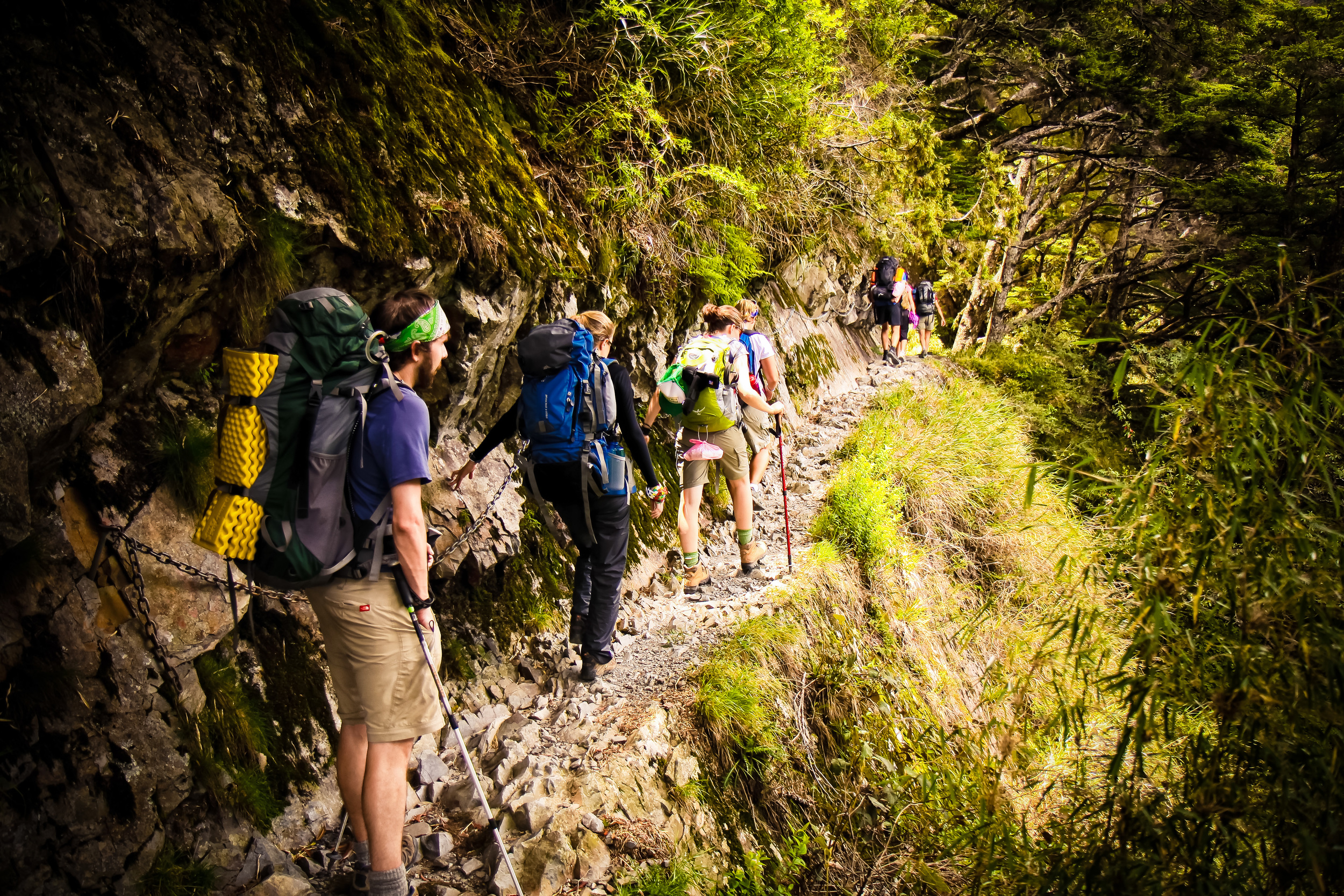
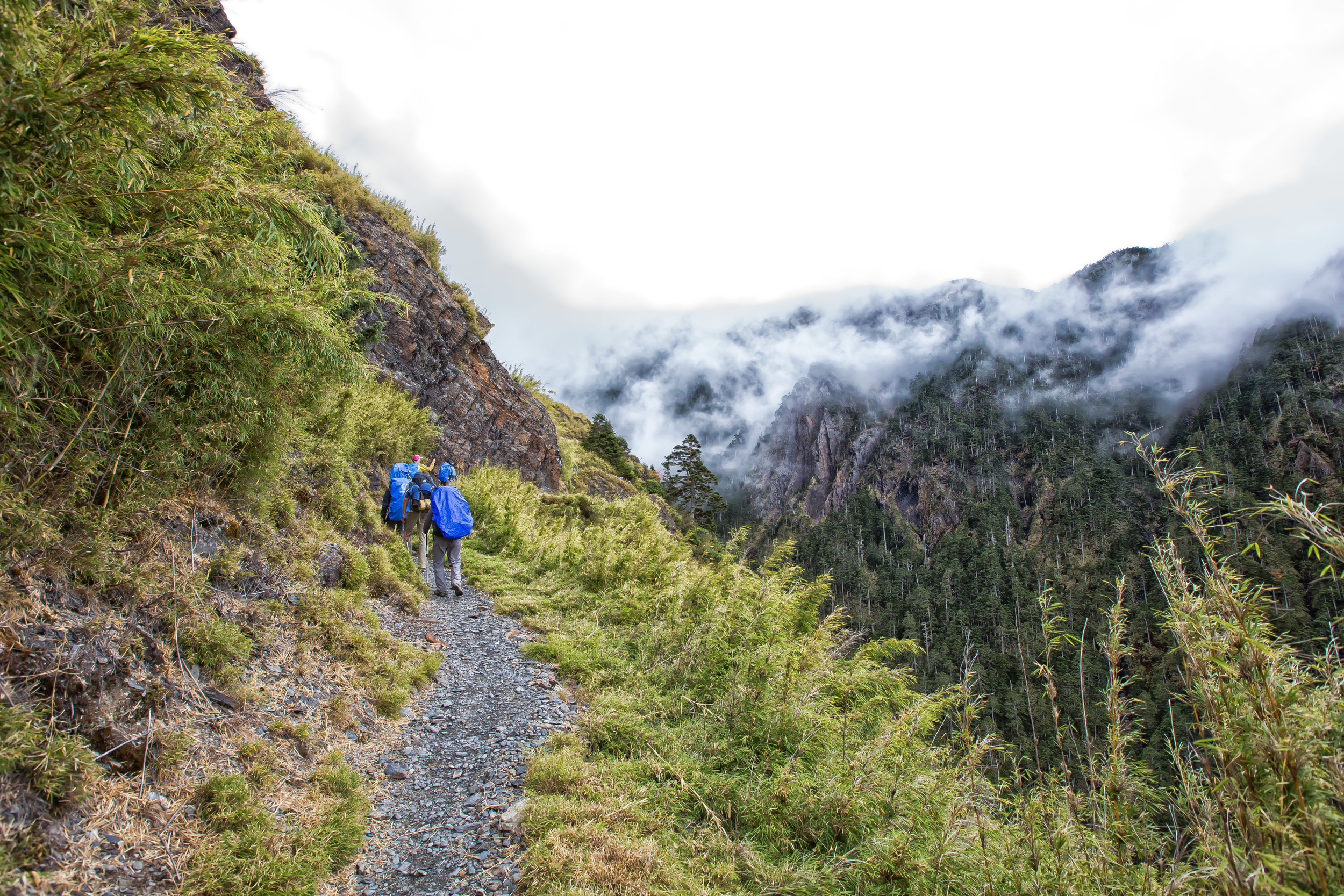
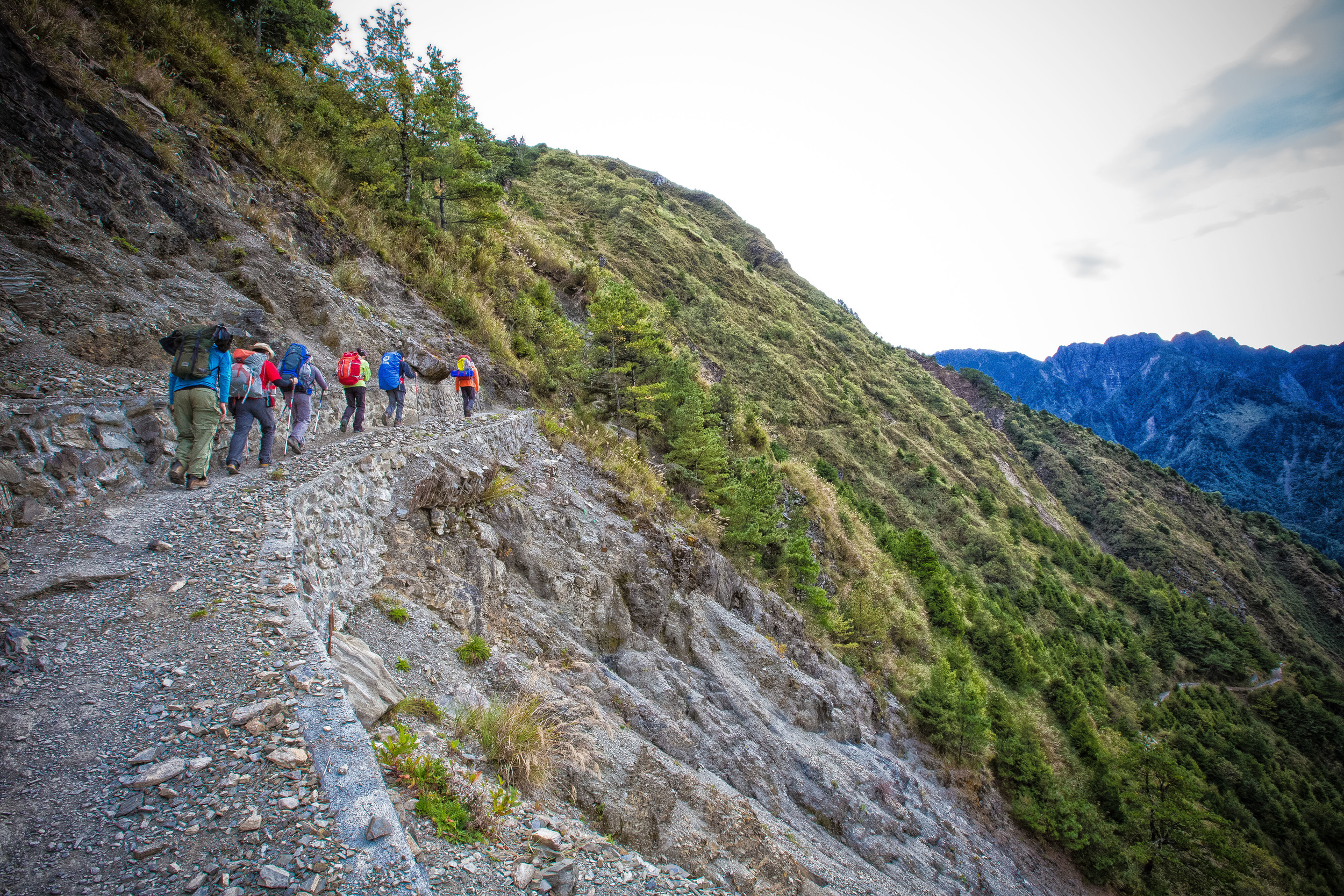
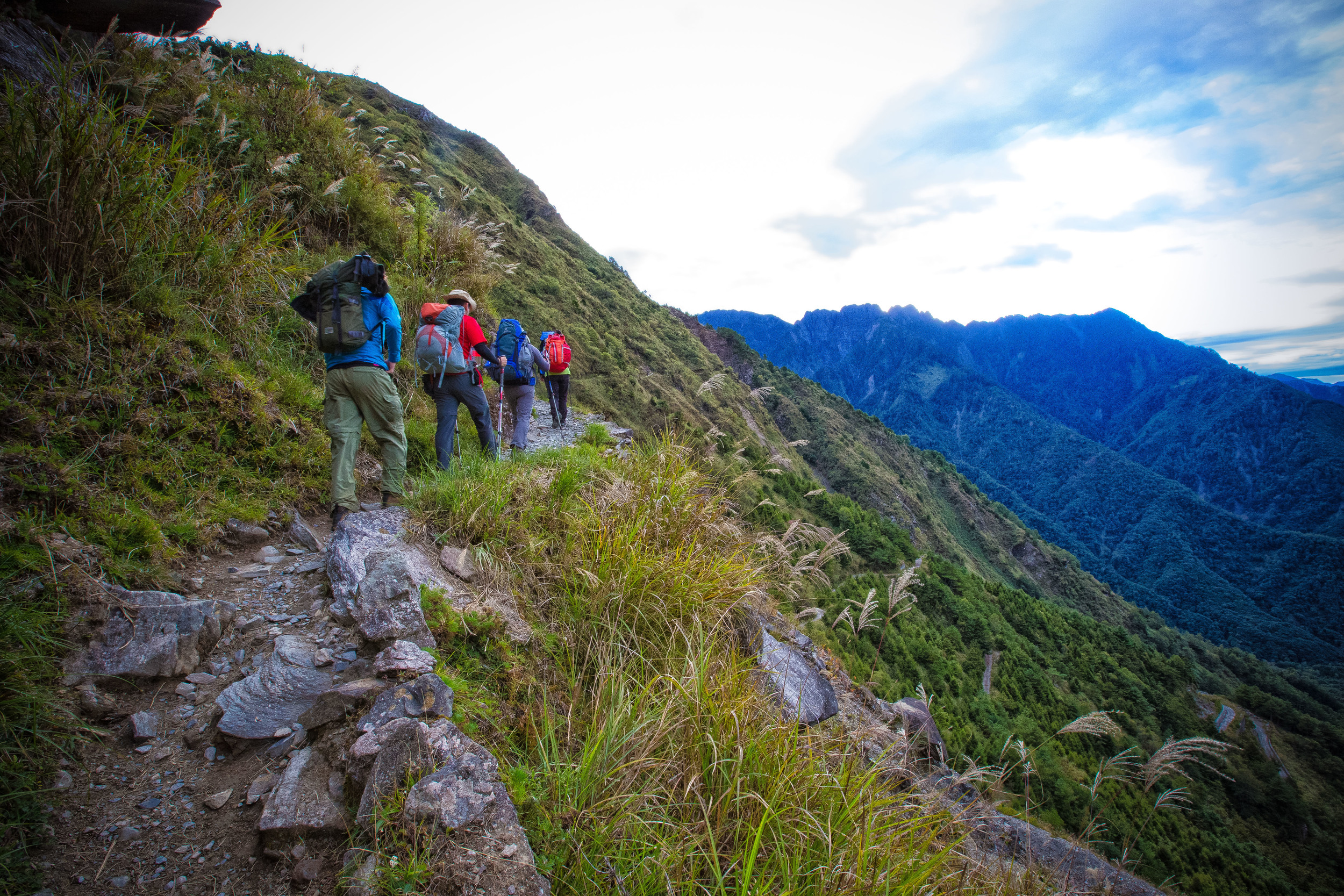
The second day is probably the easiest and most fun part of the hike. You wake up early in the morning and after breakfast you are taken to the Yushan National Park headquarters (which is across the street from the villa). It's likely that while you are making your way across the road that you can see some Formosan Rock Macaques (台灣獼猴) nearby. At the park HQ your passports/IDs are checked and then you (might) have to watch a safety video. When everybody in your group is checked and ready you will be taken in a shuttle bus to the Tataka saddle which is actually just the trailhead for the hike and your 8.5km hike to Paiyun lodge starts.
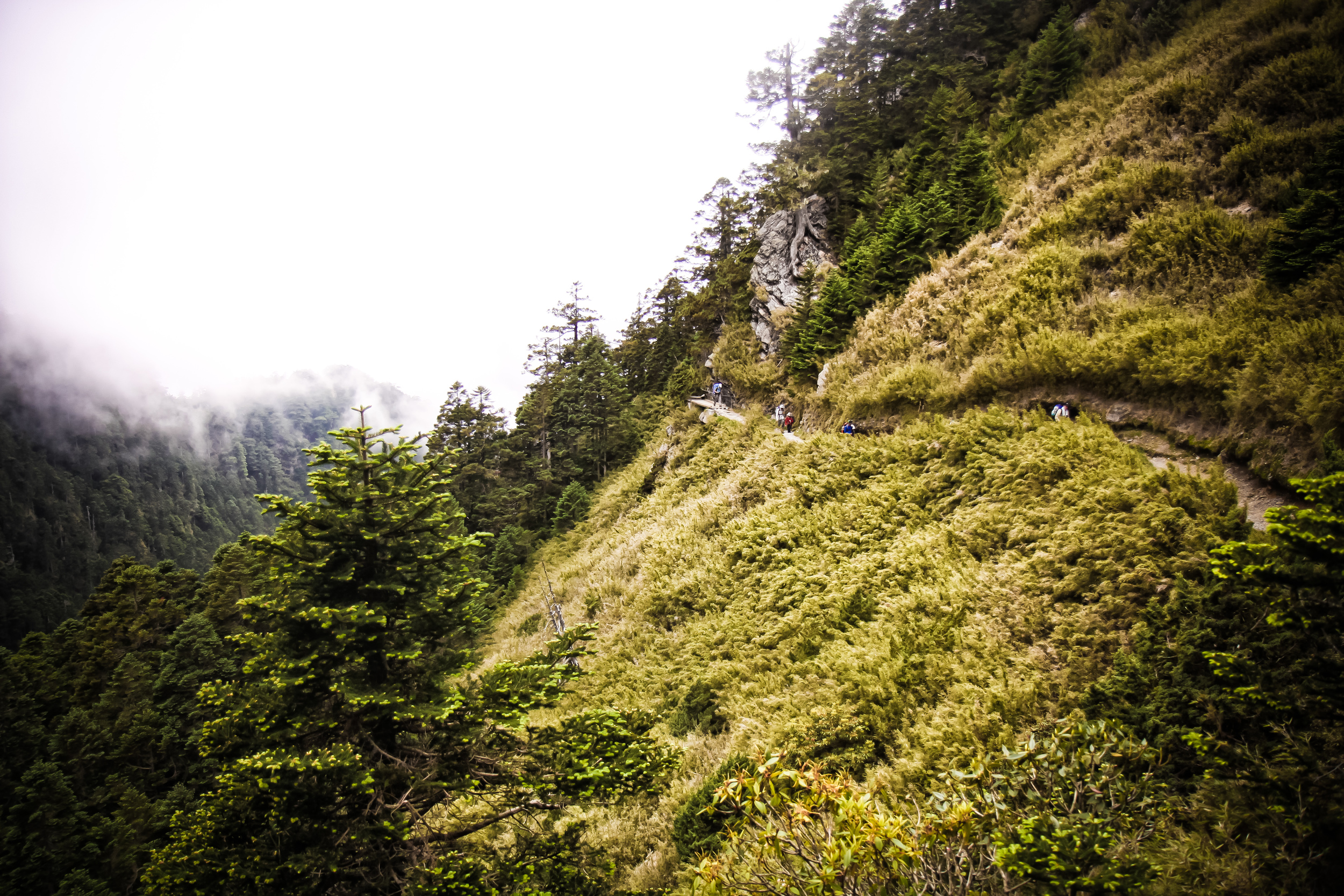
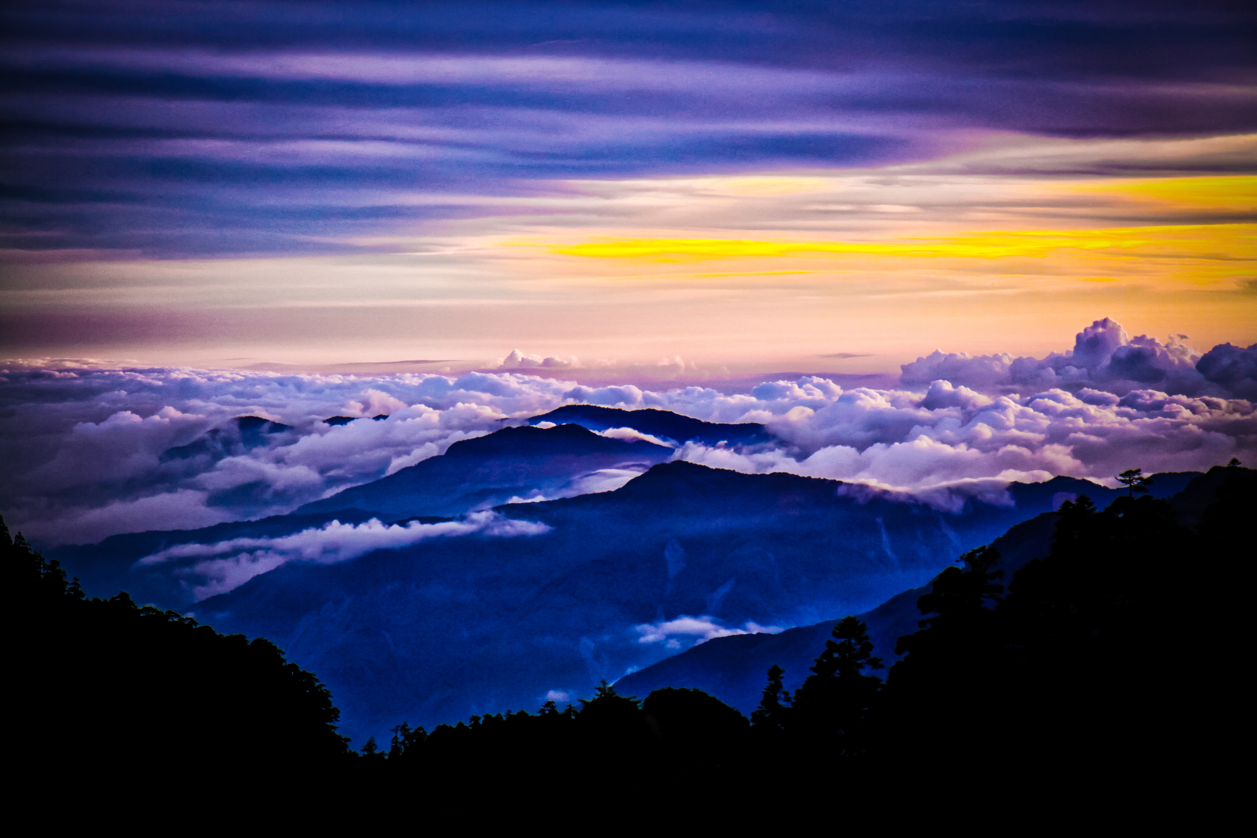
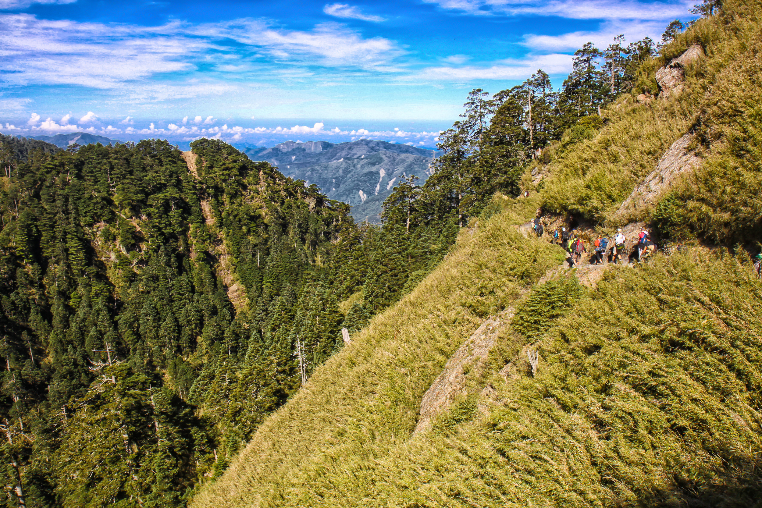
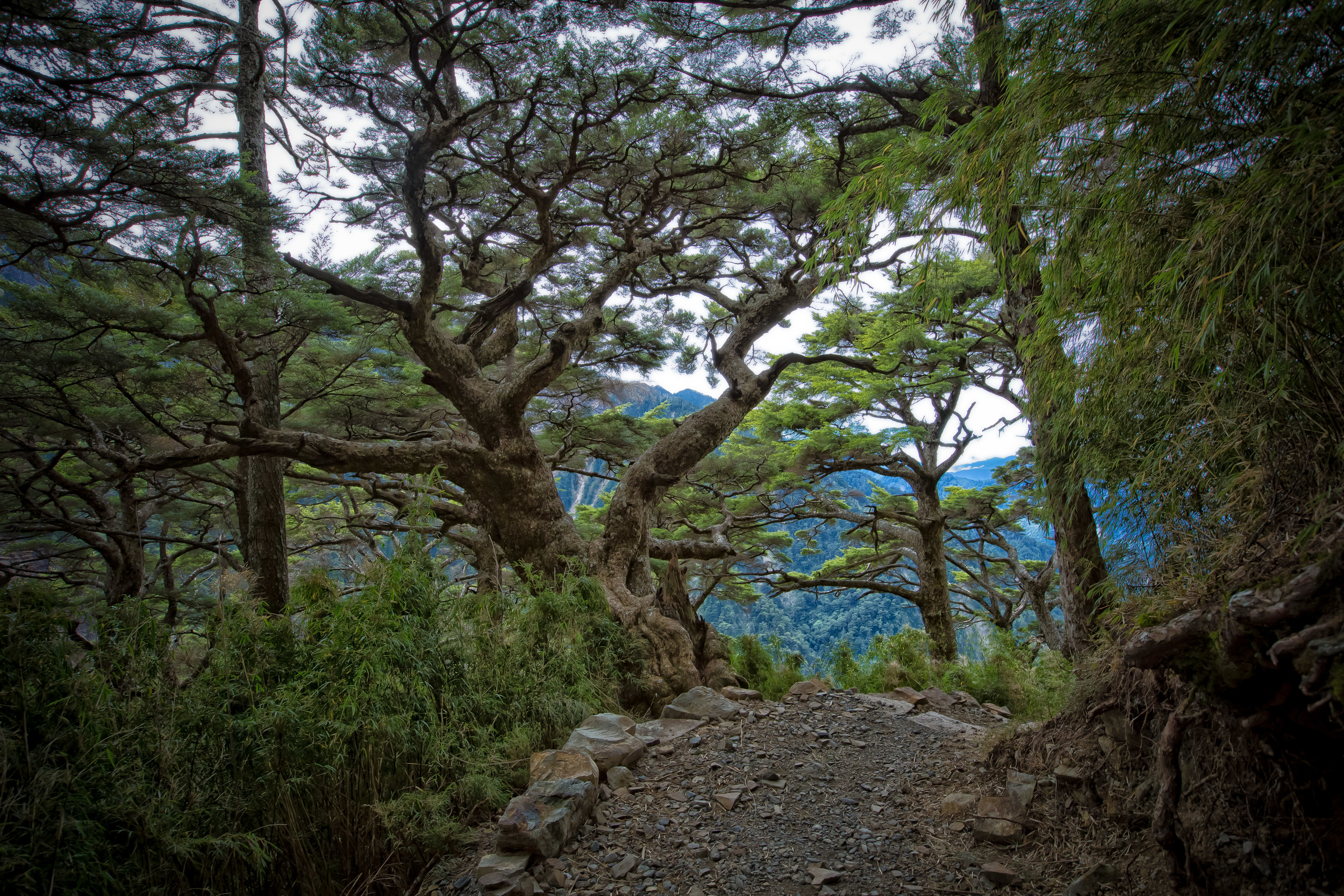
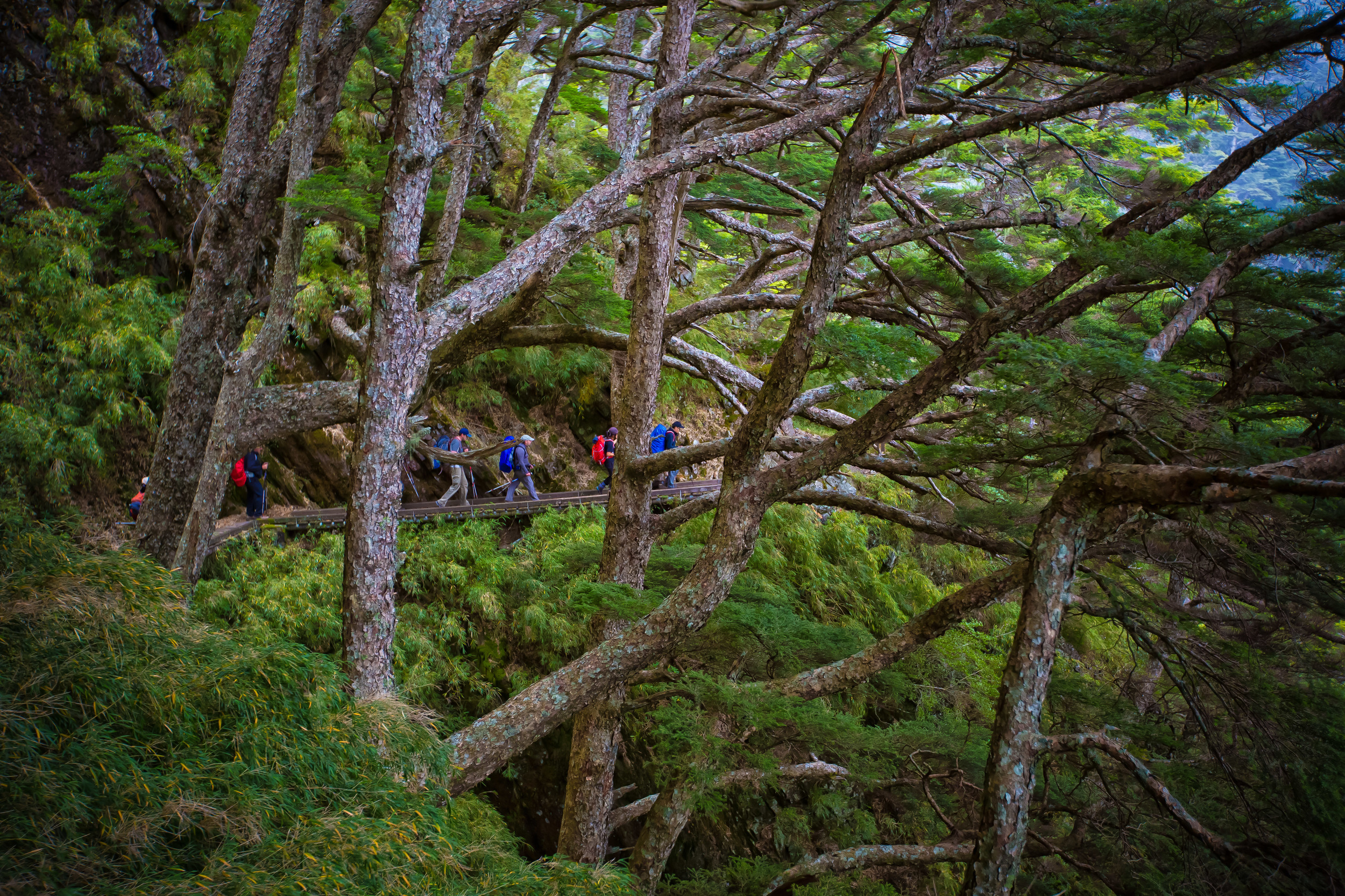
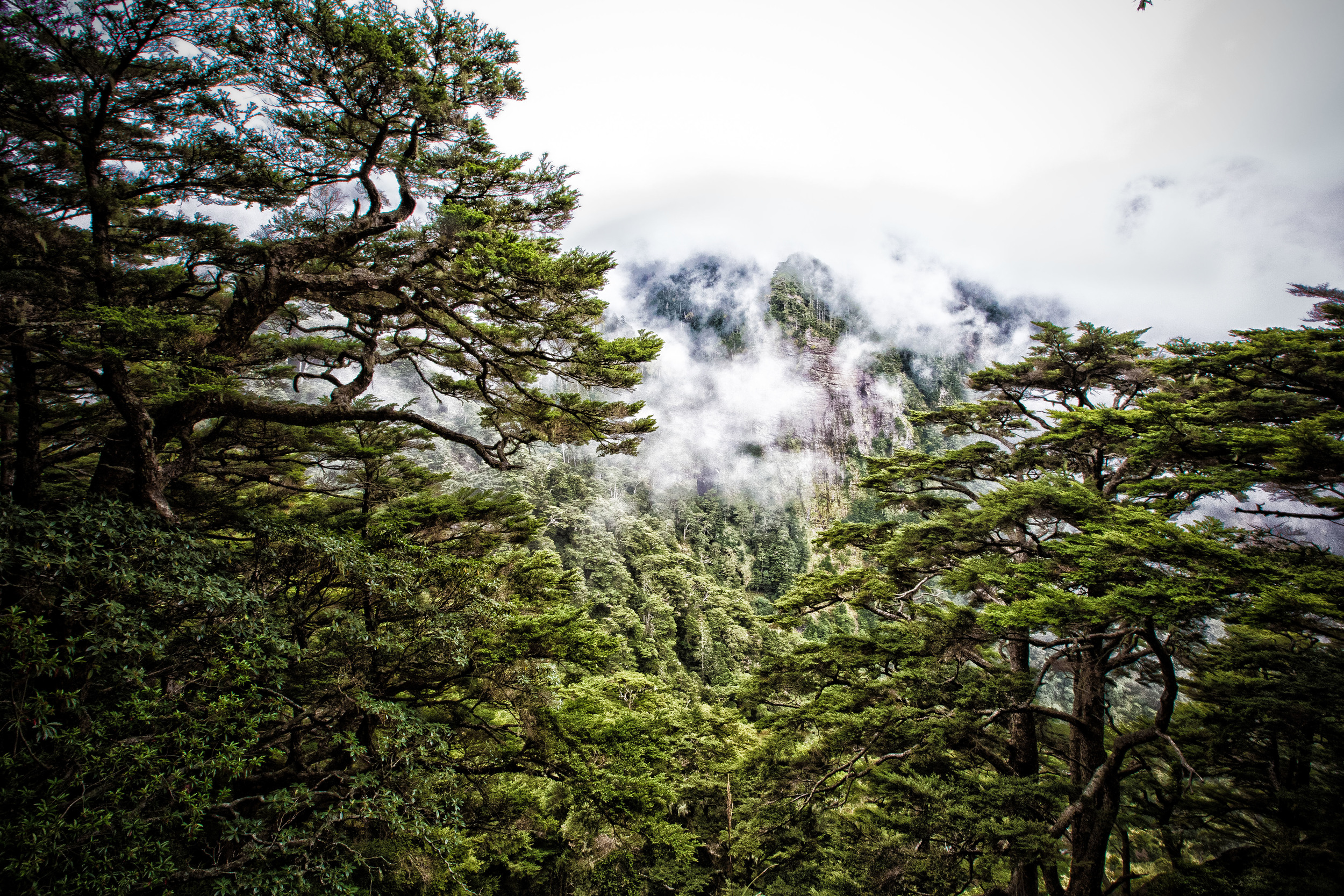
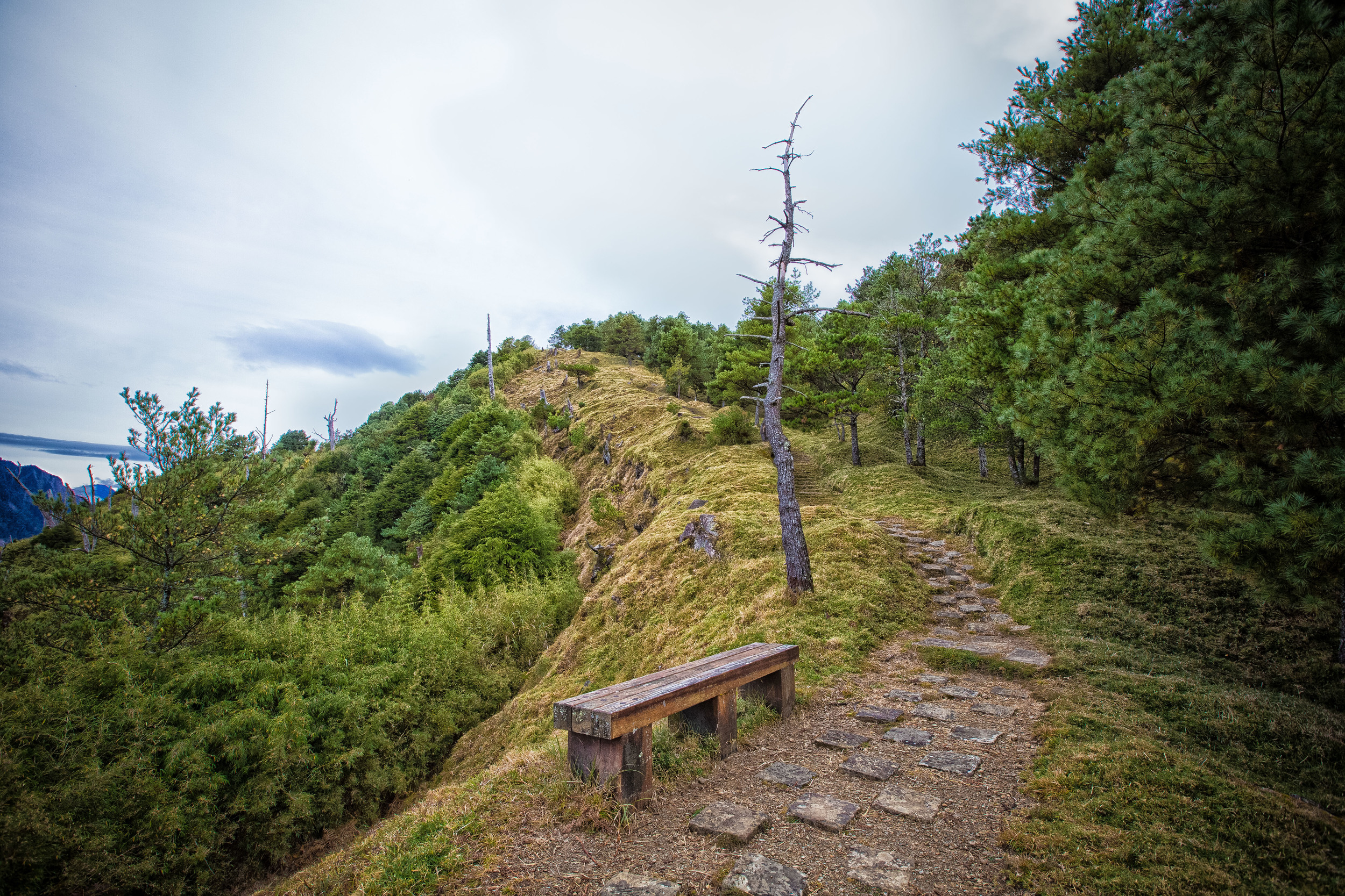
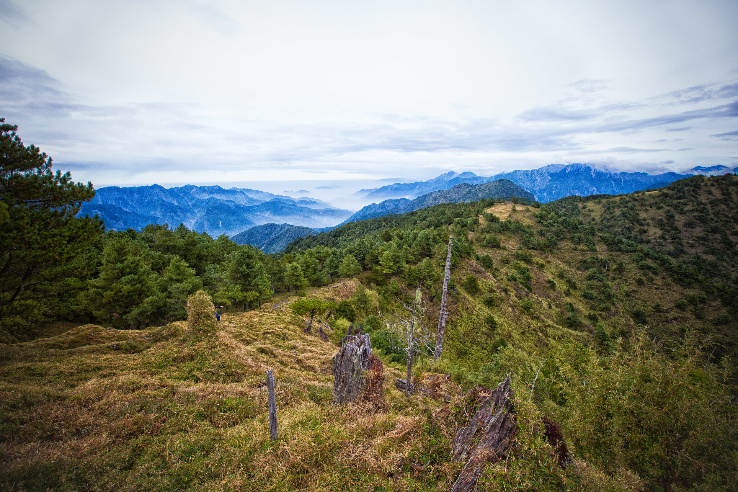
The hike to the lodge is easy and quite leisurely as you are walking on a beautiful trail with panoramic views of the beautiful valleys below. It's also quite likely that you'll get to experience the sea of clouds (雲海) that the mountains are famous for. The trail is quite easy and there are more than enough rest stops for people who might be feeling a little tired.
Halfway through the hike to the lodge you'll come up to a separate trailhead for Yushan Front Peak (玉山前鋒). This peak isn't included in all itineraries but is a challenging hike up a very steep hill. If your group is making good time to the lodge you might want to consider an excursion up to this peak.
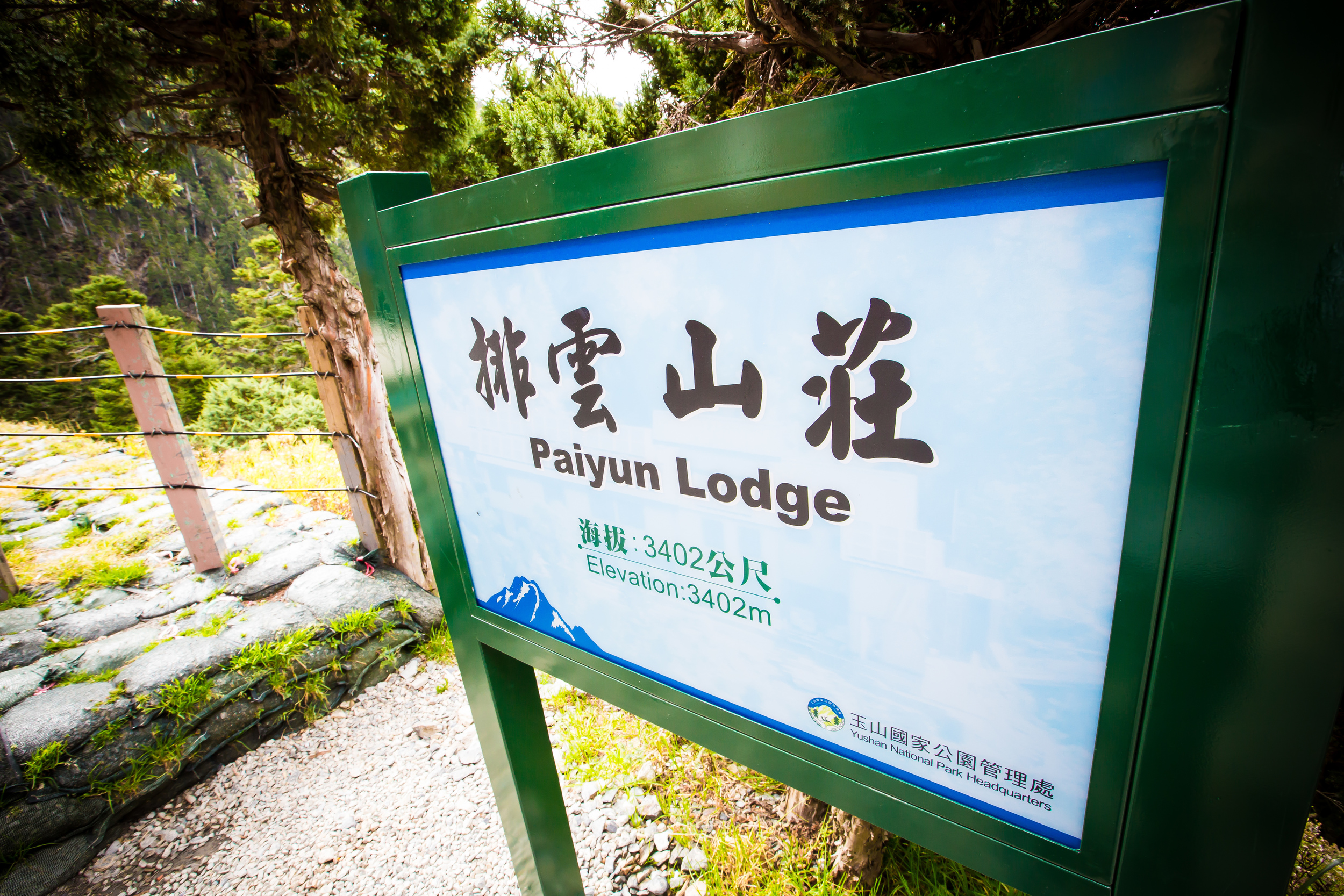
The hike from the Tataka saddle to Paiyun takes you from an altitude of 2,600m - 3,402m and should probably only take about three to four hours depending on the speed of your group. Remember that you're not in a race to the top and do your best to enjoy all of the beautiful scenery. If the weather is good, enjoy it because it could ultimately change in an instant.
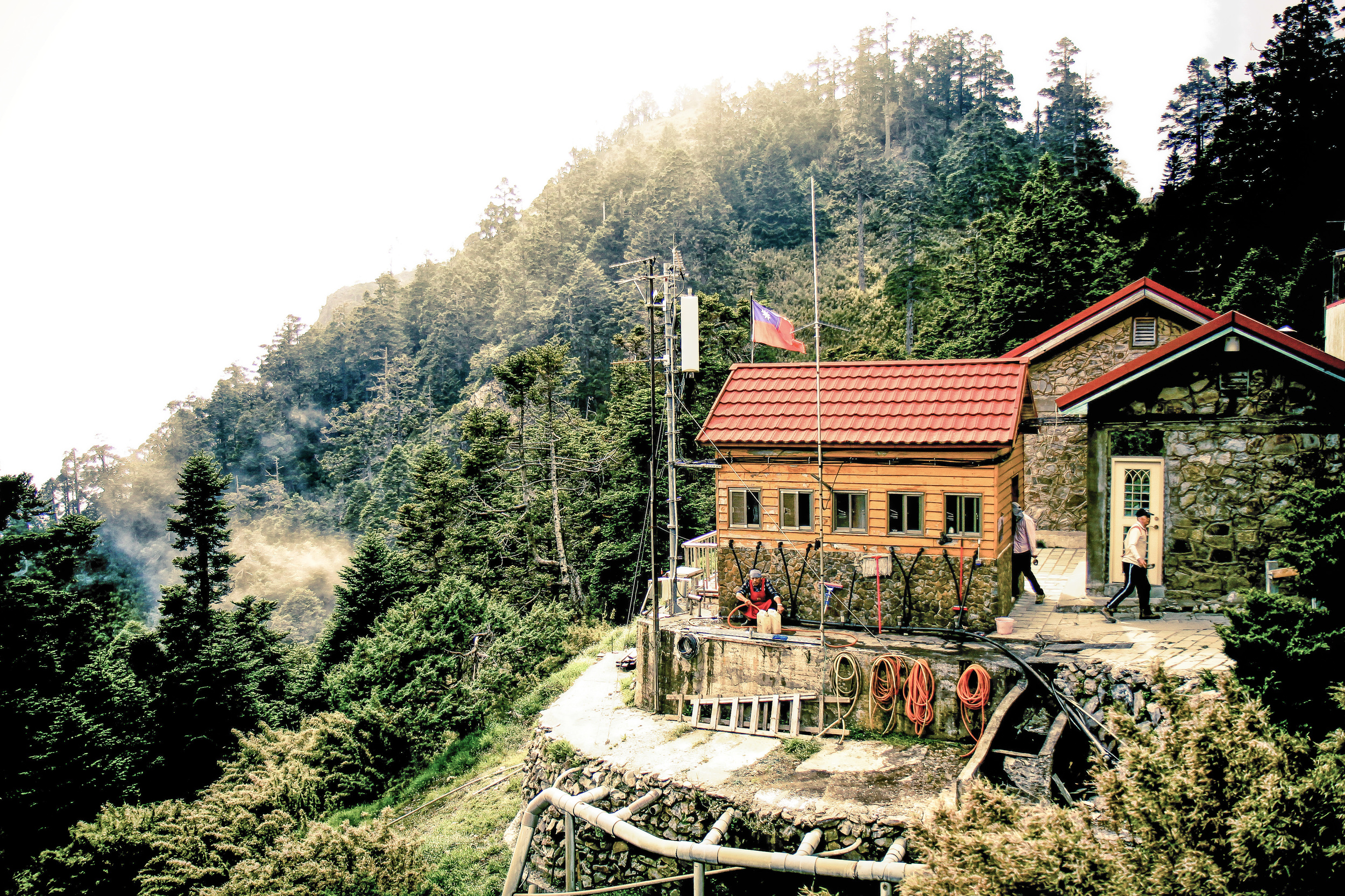
When you arrive at Paiyun Lodge it's important to acclimatize yourself to the altitude. This means that you cannot take a nap just after you arrive. Sit on the benches, chat with your fellow climbers, make friends with the other climbers who are staying with you, read a book, write a book or whatever it is that will occupy you for a short period of time. If you sleep as soon as you get there you will likely feel nauseous and uncomfortable when you wake up.
You will likely have arrived at Paiyun in the early afternoon but after a few hours it will be time for dinner and a bit of relaxing. You will likely have to sleep when it starts to get dark (as day three starts very early in the morning).
Day 3 - Paiyun Lodge (排雲山莊) - Main Peak (玉山主峰)
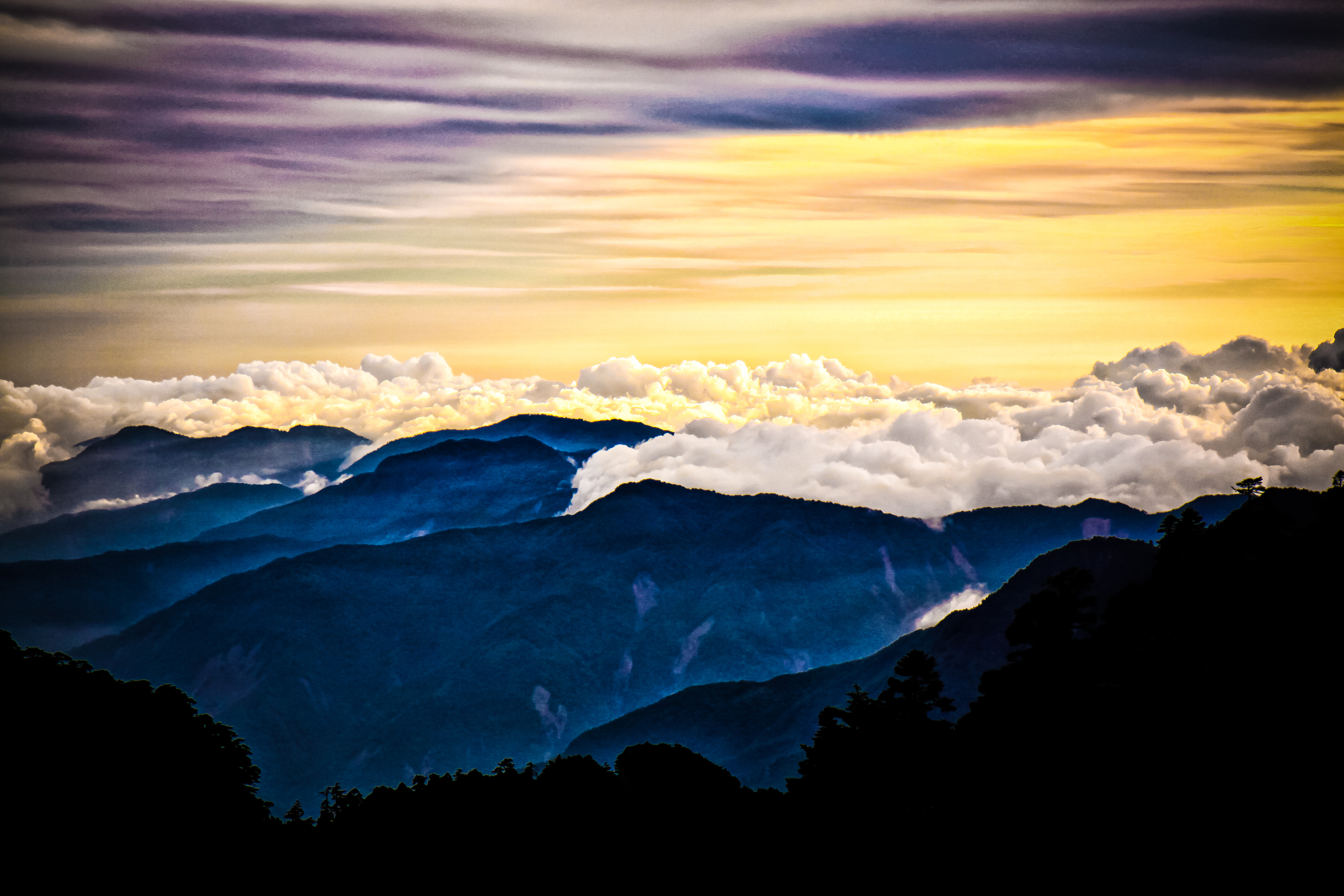
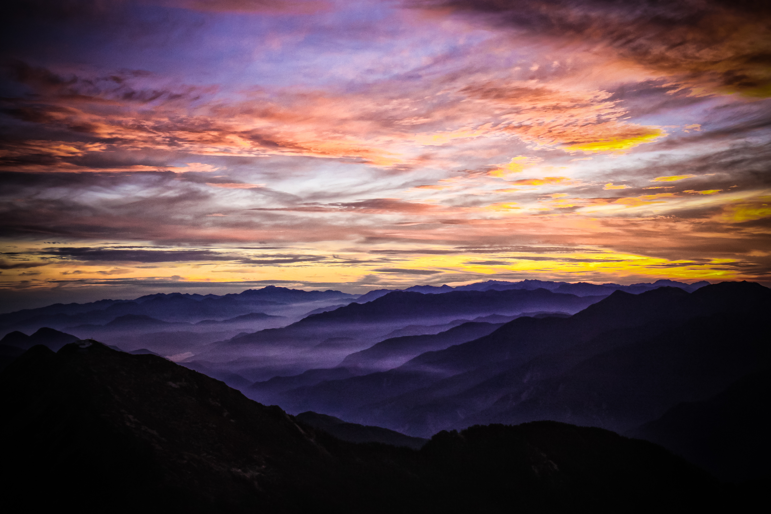
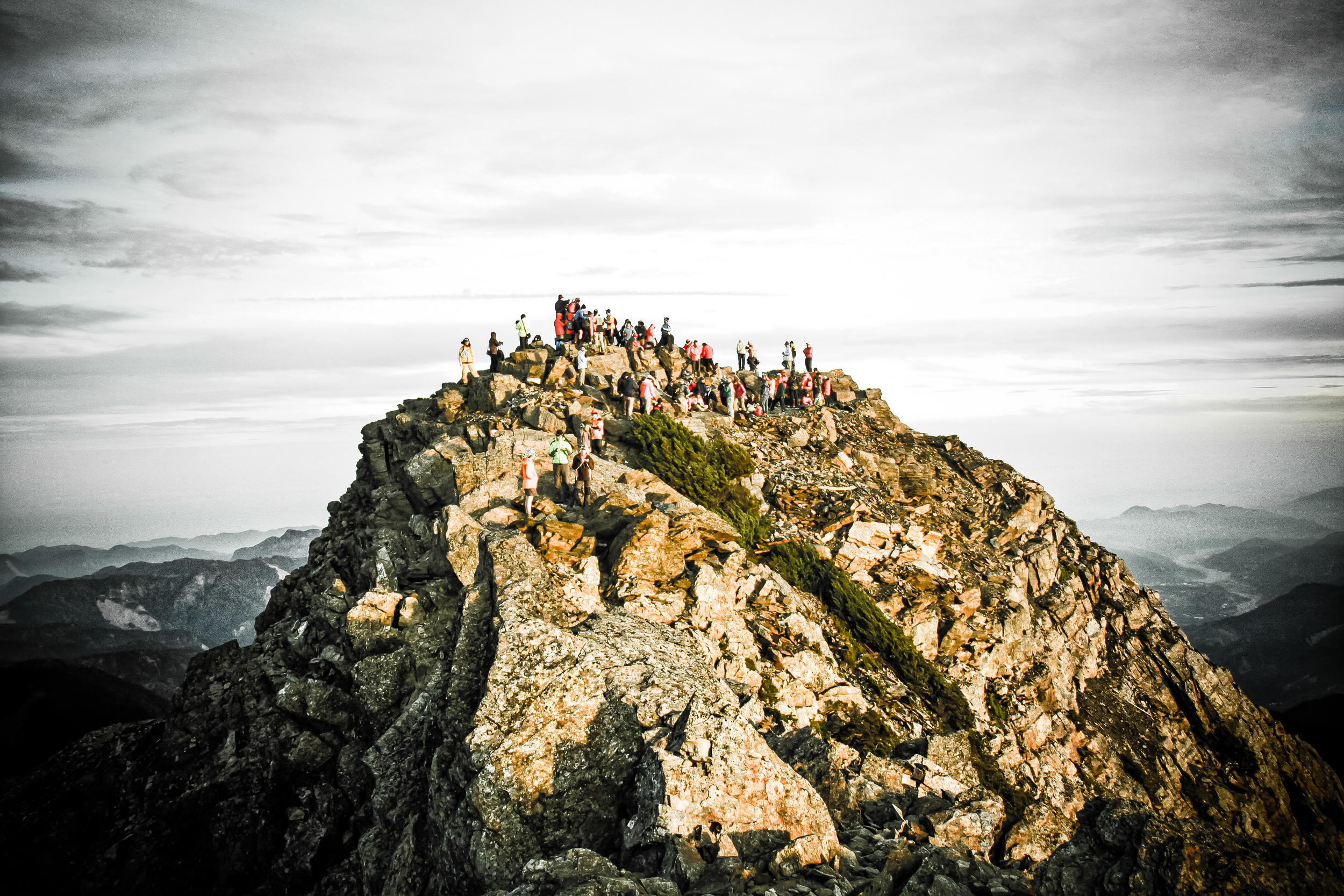
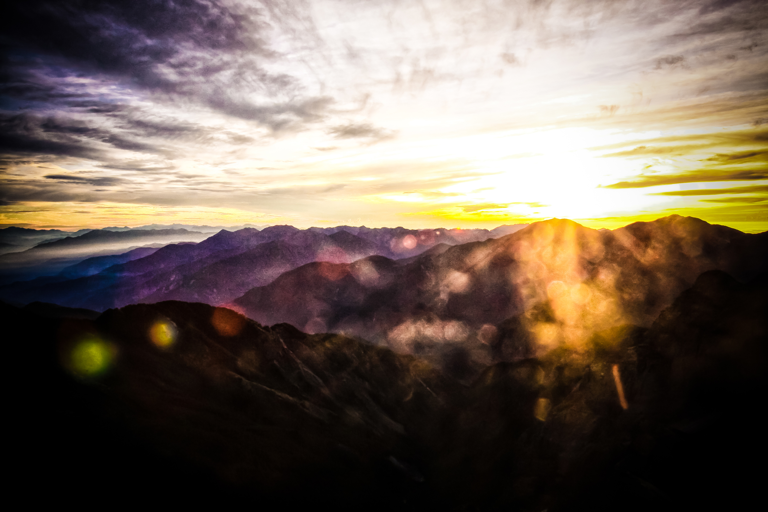
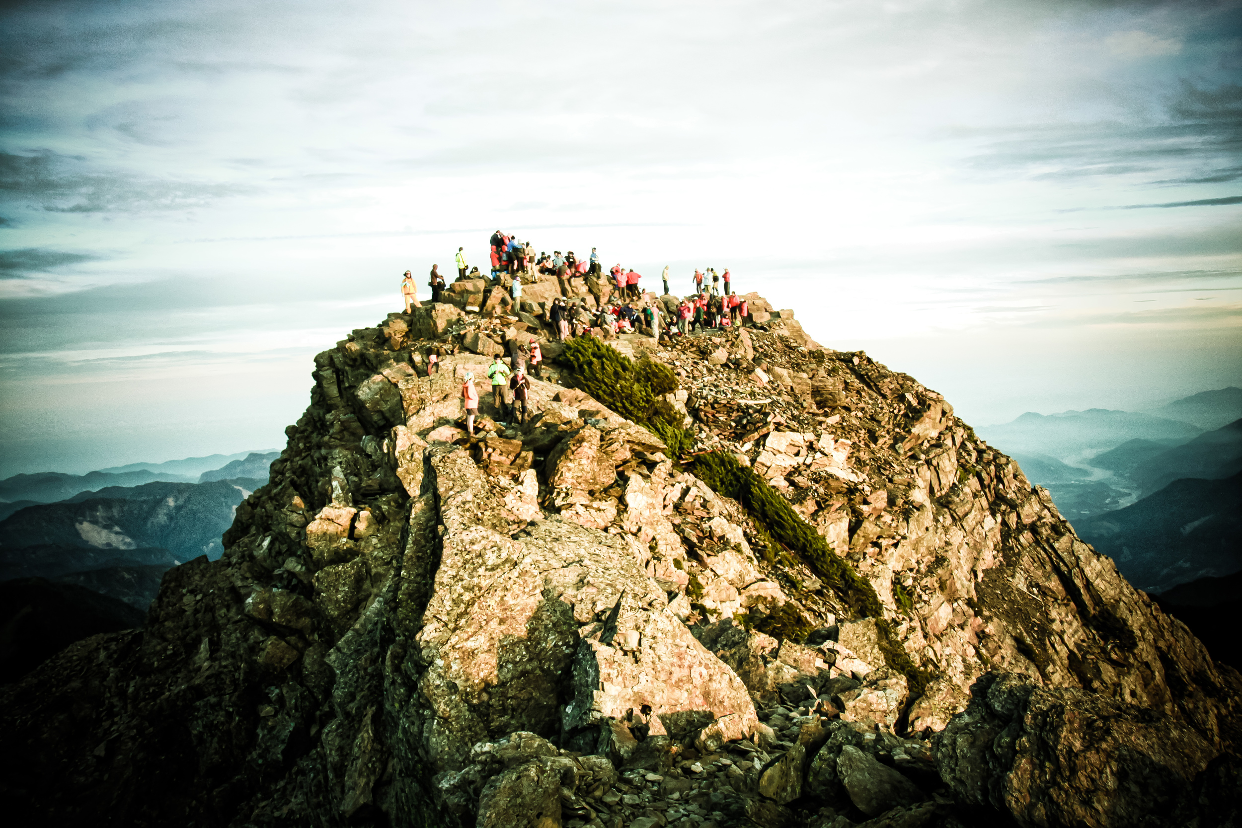
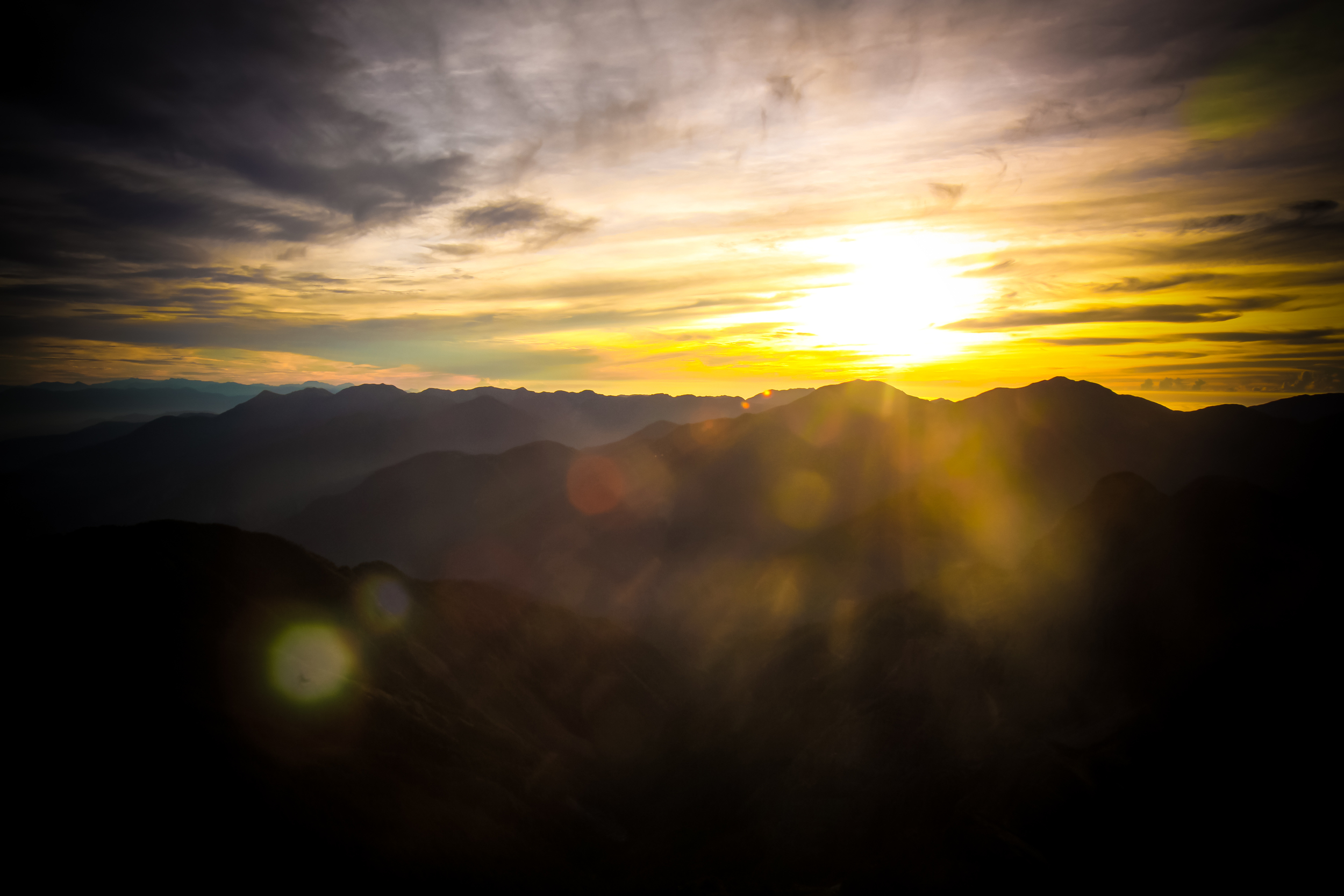
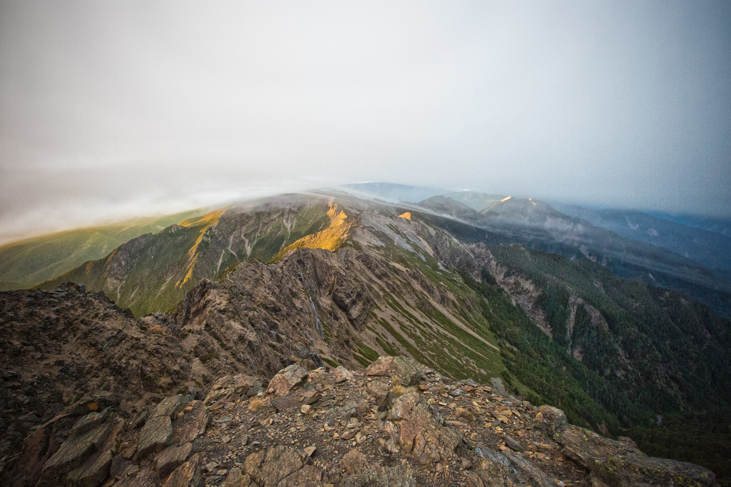
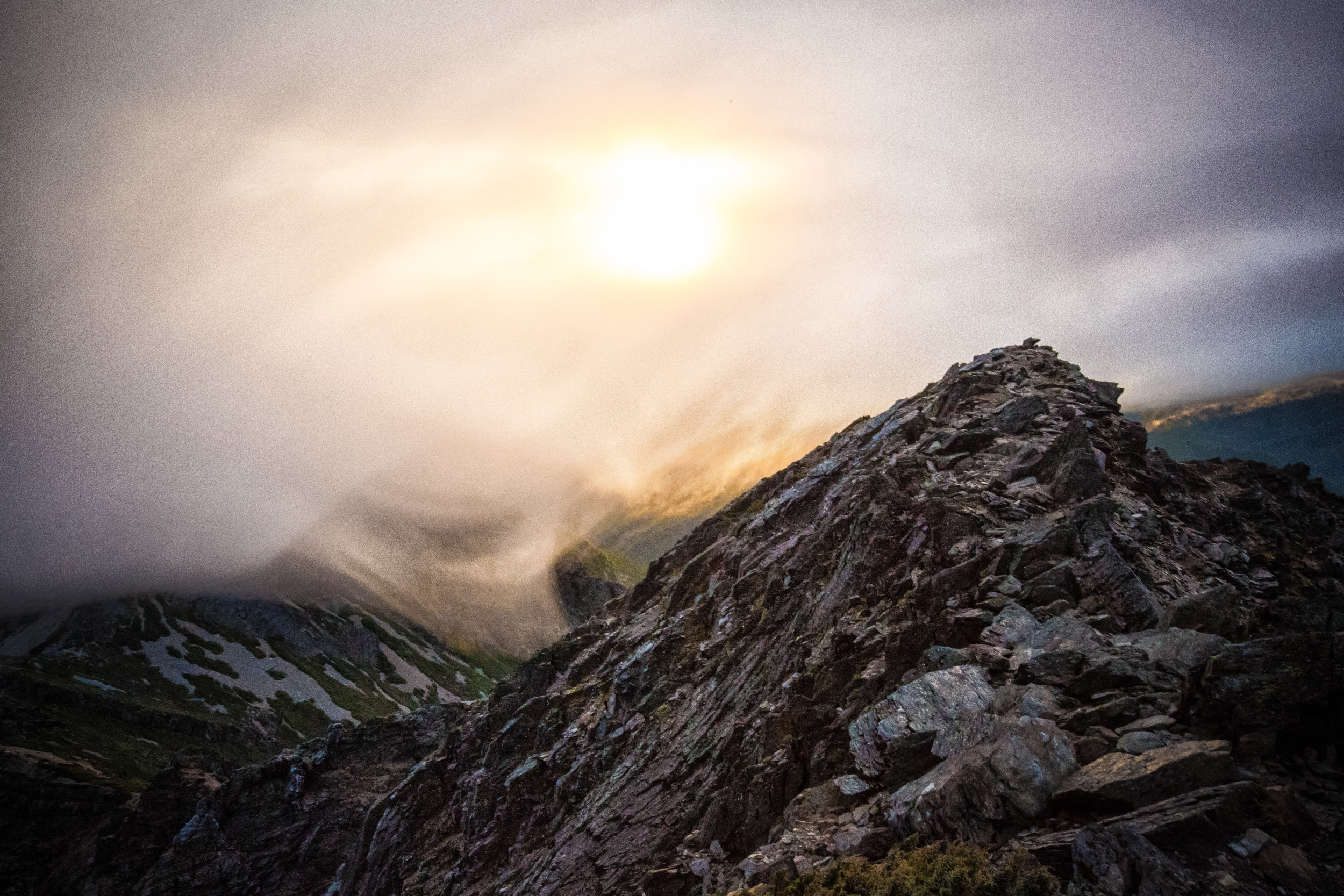
One of the highlights of being on the summit of Yushan is to experience the sunrise - If you get good weather while on the peak you'll witness some extreme beauty and one of the best natural light shows that you'll ever see as the sun comes up. The hike from Paiyun Lodge to the peak takes another two hours and you go from an altitude of 3,402m - 3,952m.
Taking into consideration that the sun rises just after 5am and that you need to eat breakfast and have your permits checked before leaving, it's very likely that you'll wake up anywhere between 1:30-2:00am. You prepare a small hiking bag (you can leave your larger bag at the lodge) and start the trek up to the peak. This is the hardest part of the hike because you are tired, and it's cold, windy, dark and steep. In a short two hour hike you climb over 500 meters in altitude and it can be a bit difficult if you are not used to mountains like this.
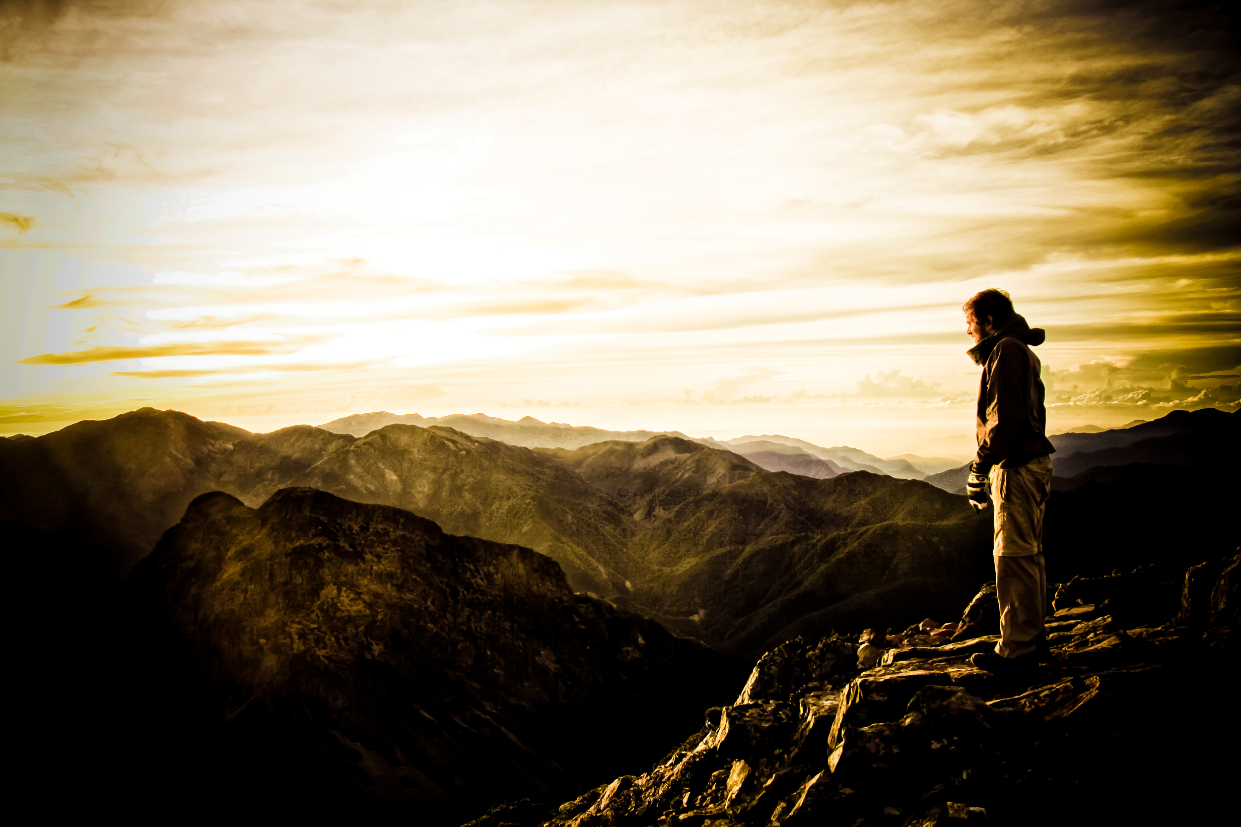
While on top of the mountain and waiting for the sunrise it's important to stay warm. It's cold and windy at the top and the warmest temperatures vary between negatives and five degrees. When the sun comes up have your camera ready and snap off a thousand shots and then line up for a shot of yourself on the "Yushan Main Peak" marker. Make sure to explore the peak while you're there because after the sun comes up most groups only stay for an hour or so before making their way back down to the lodge.
Day 3 - Main Peak - Paiyun Lodge - Tataka Saddle - Home
When you are done on the peak you have a long walk ahead of you. When you head back down in the daylight you can really appreciate the scenery around you that you missed in the dark. After an hour or so you arrive back at Paiyun Lodge, have a quick lunch and pack up to make your way back down to the saddle. The hike from the peak to the saddle is 10.9km but it is mostly downhill so it goes by pretty quickly. By the time you get back to Paiyun you are likely tired so you probably aren't as interested in enjoying the scenery but make sure to take your time on the trail down to the saddle. Once you arrive at the saddle a shuttle bus will pick you up and take you to the park headquarters where your shuttle that will take you back home will be waiting.
The hike to the peak of Yushan is one of the absolute MUSTS for a lot of people in this country and is a matter of national pride to make it to the peak at least once! The hike isn't that difficult and is extremely rewarding. There are of course more difficult hikes with more beautiful scenery in Taiwan but this one is the highest and you are sure to enjoy yourself if you have the chance to do it. I've done this hike three times now and it is still at the top of my list of places to go when I have vacation time. If you have the opportunity, don't hesitate to take your chance to stand on the highest peak of one of the most beautiful country's in the world!
Gallery / Flickr (High Res Photos)
