Landscape

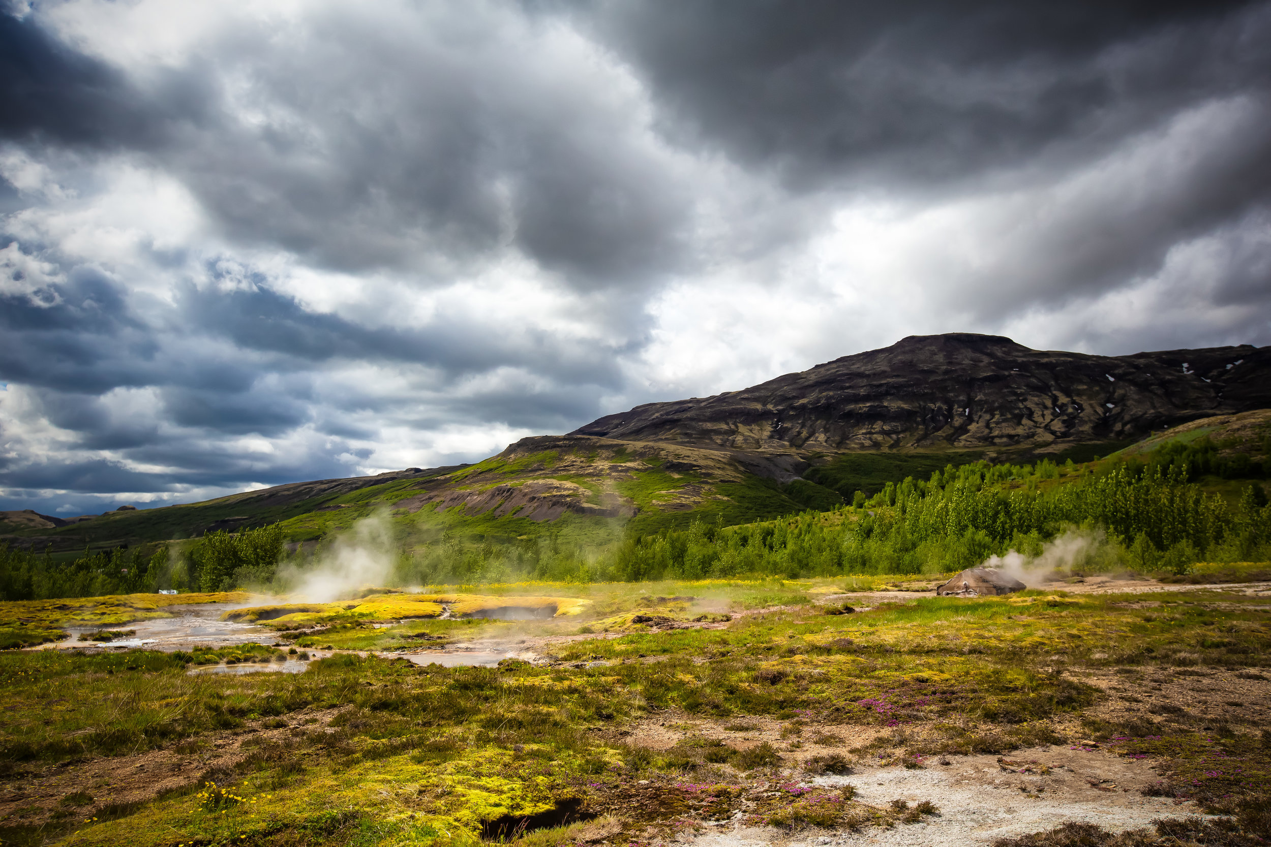
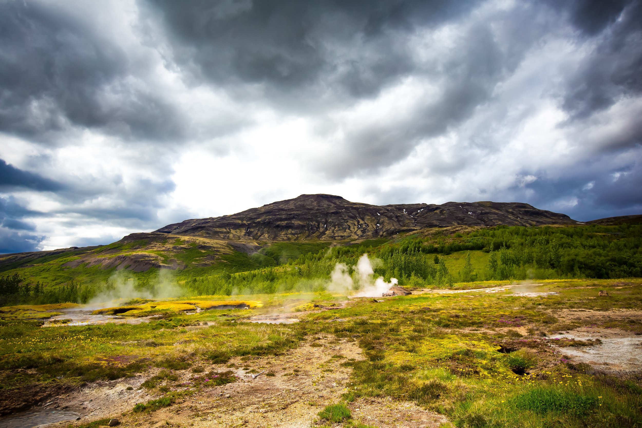
The Geysir Geothermal Area

It should be no surprise that when directors were looking for filming locations for the upcoming television series ‘The Game of Thrones’ that the fictional ‘Land of Ice and Fire’ be filmed in a spot where both ‘ice’ and ‘fire’ are so prevalent in the natural environment - Iceland was the perfect location to ensure that the words of George RR Martin translated so well to the screen. 

In the years since the television series became a worldwide phenomenon, tourists have been attracted to the country wanting to experience the real-world ‘Land of Ice and Fire’ where massive waterfalls, hikes over vast glaciers and active volcanoes and the raw power of the earth is always on display.  

The nickname is a fitting one but the major difference is that in real life, Icelanders have learned to harness the so-called ‘fire’ to construct beautiful hot spring baths and swimming pools all over the country. In addition to to hot springs, the people of the country are afforded the luxury of drinking volcanic tap water and taking their daily showers in some of the cleanest water on the planet.

This is possibly why Icelanders are some of the healthiest in the world!

The Geysir Geothermal Area however is not a place where that power can be harnessed (people have tried) and its also not one where you’ll be able to enjoy a relaxing hot spring bath. The water is so hot that even in the middle of winter, the pools are boiling and often erupt with massive geothermal power. 

You do however get a front row seat to the power of the so-called Land of Ice and Fire and its a show that you’re not going to want to miss.  

What Are Geysers?

North American visitors to Iceland are likely familiar with the geysers of Yellowstone National Park - it’s unlikely however that most travellers are aware that the word “geyser” originated in this exact location.

Coming from the old Norse word “geysa” which means to gush or rush forth, the word has been borrowed by the English language to describe these beautiful forces of nature. 

Geyser’s are essentially a rare geological phenomenon that are found only in a few locations around the Earth - To make an analogy, geysers are like natural “teapots” which boil and build up immense heat and pressure before they eventually burst with steam.

The sight of that steam and hot water bursting out of the earth in such a spectacular fashion is a natural event that has fascinated people for probably as long as humans have existsted. 

To put it simply, there are a few factors that must be met before a geyser can be formed:

  1. They are always found in areas rich in volcanic activity.

  2. There is an ample supply of groundwater as well as subsurface water reservoirs.

  3. There has to be fissures in the earth that allow hot water to travel to the surface.

There are currently around a thousand ‘active’ geysers in existence around the planet with the highest concentrations found in the United States, Russia, Chile, New Zealand and Iceland. The ‘temporary’ nature of geysers though means that over history many of them have already gone extinct or entered long periods of dormancy which makes counting them somewhat difficult.

When all the conditions are met for the formation of a geyser, it spends the next thousand or more years acting as a temporary vent allowing the earth to periodically release steam that has built up beneath the surface.

The frequency of a geyser’s eruptions depends primarily on the geothermal activity happening deep underground - Some geysers may erupt a few times every hour others may only become active once every decade.

Hundreds of years ago, visitors would have to wait around all day hoping for something to happen but today scientists are able to predict the average intervals between each eruption, their duration and their height making a visit to a geyser much more rewarding and less time consuming.

Links: What is a Geyser (Scientific American) | What is a Geyser (geology.com)

The Geysir Geothermal Area

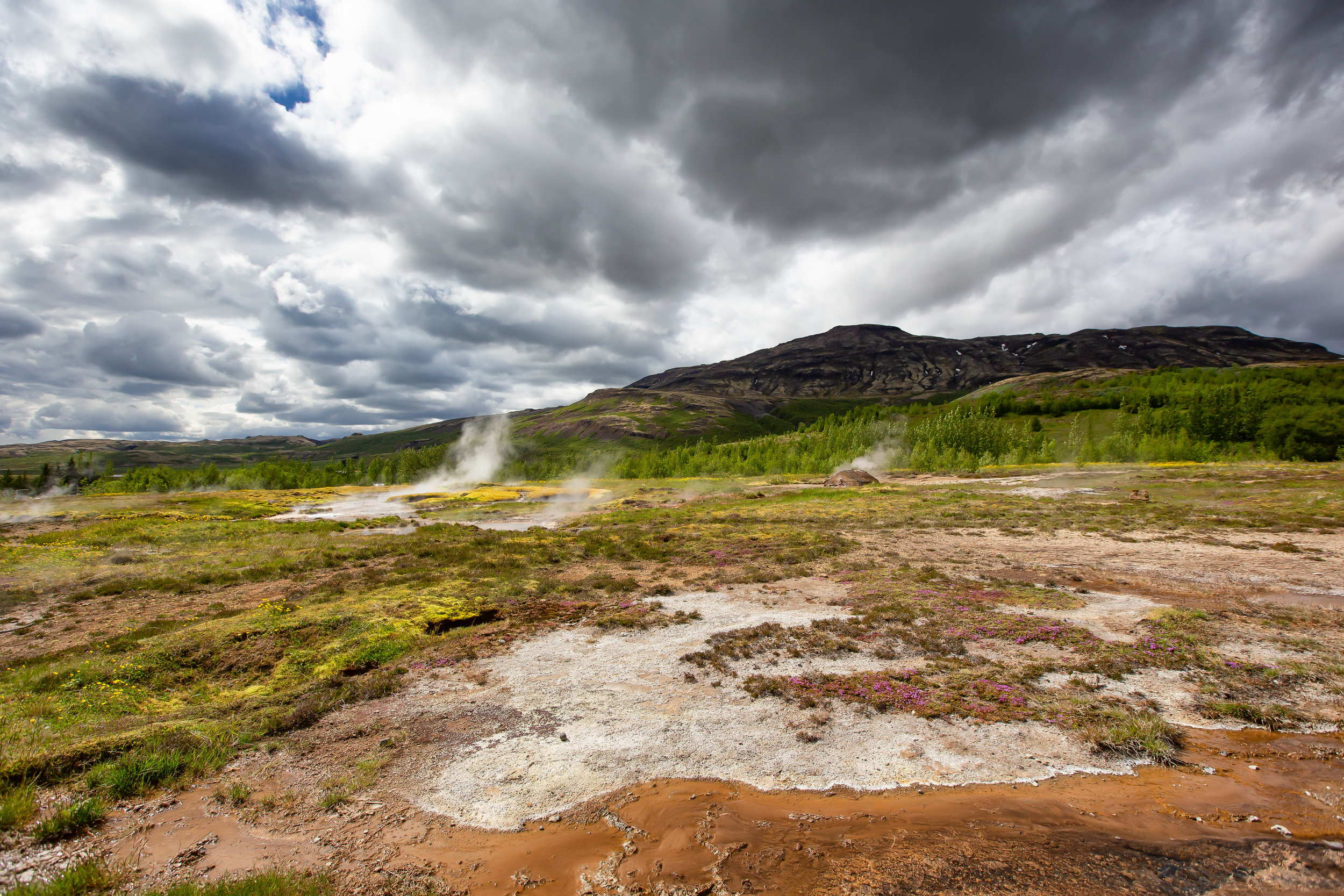
Even though Iceland’s ‘Great Geysir’, the namesake for all of the world’s geysers, is currently dormant, the area around it has several other active geysers and hot spring pools that are still very much active.

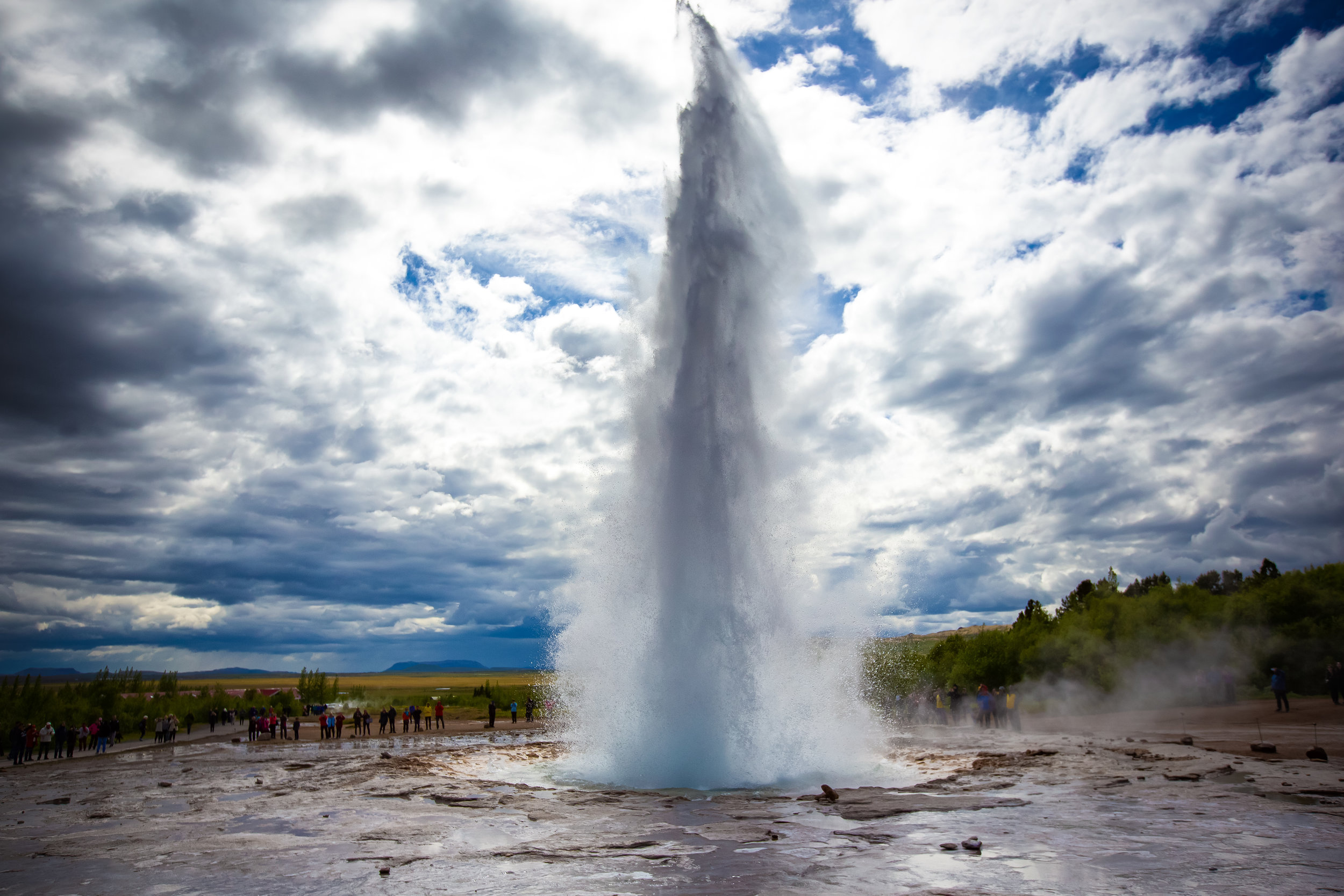
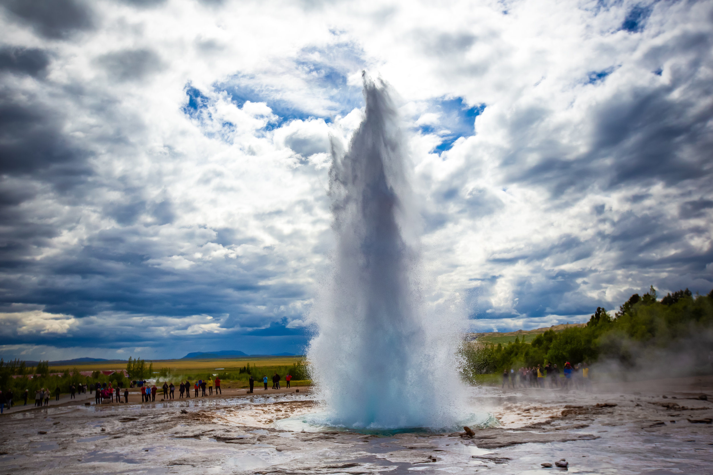
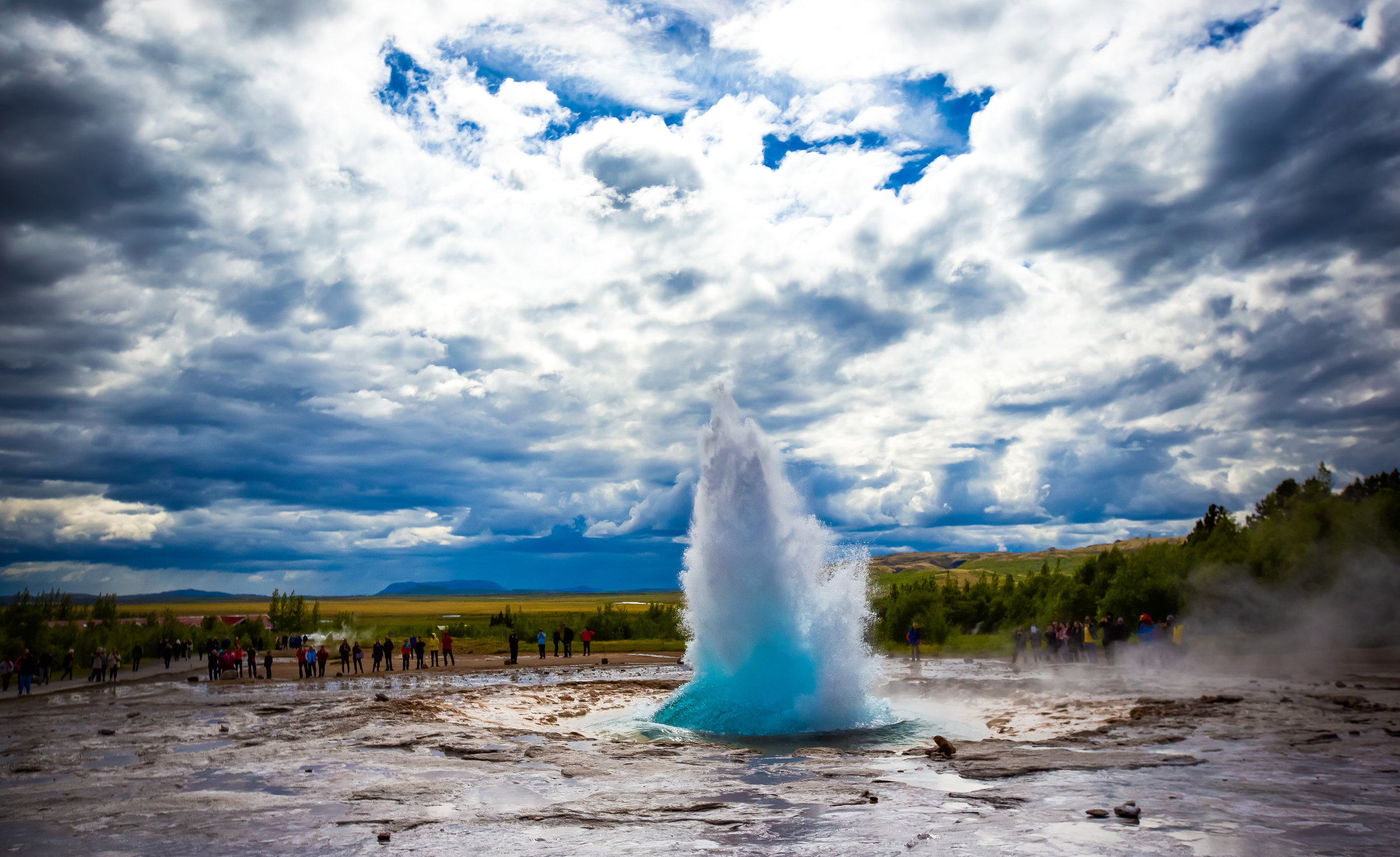
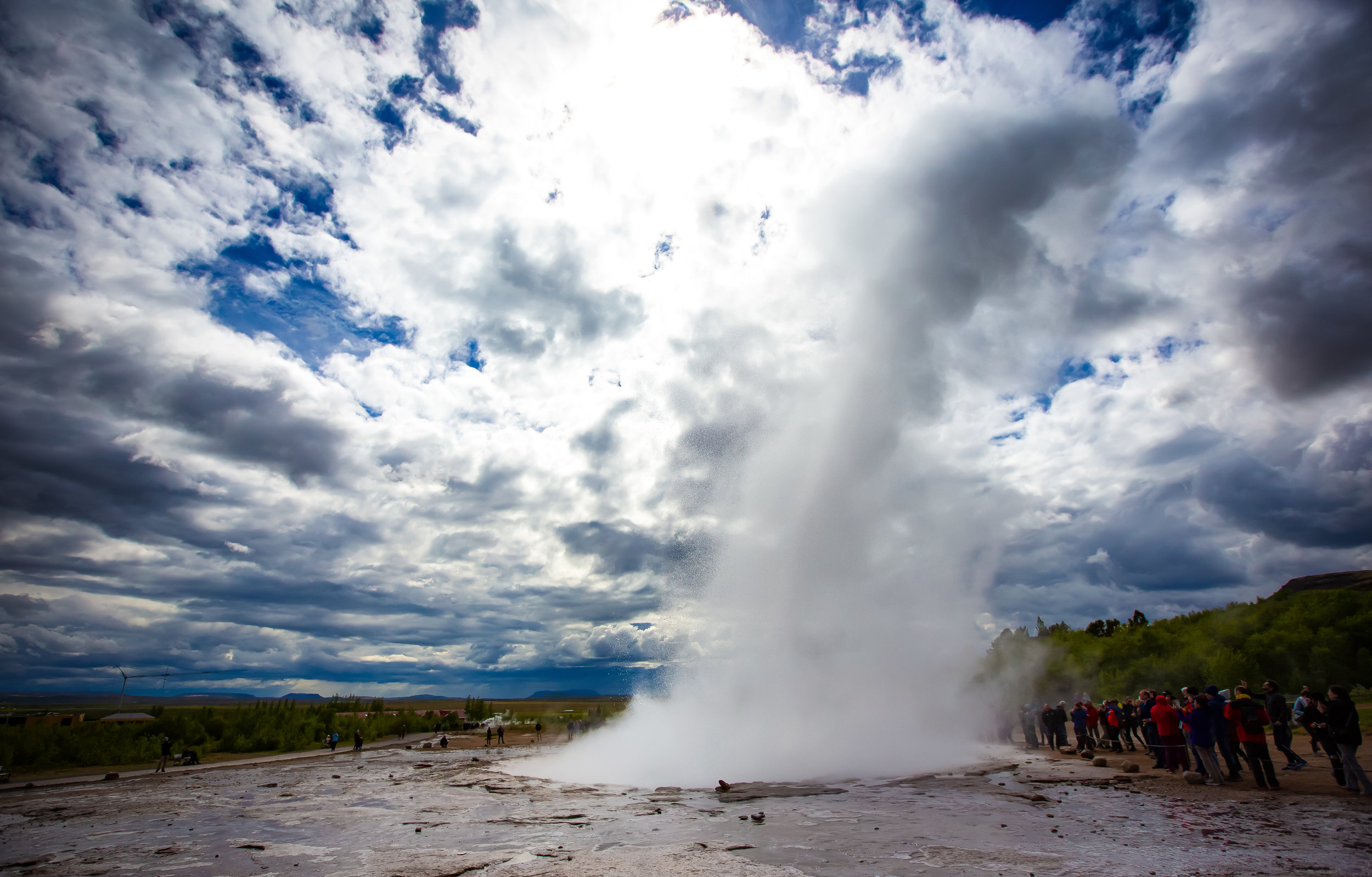
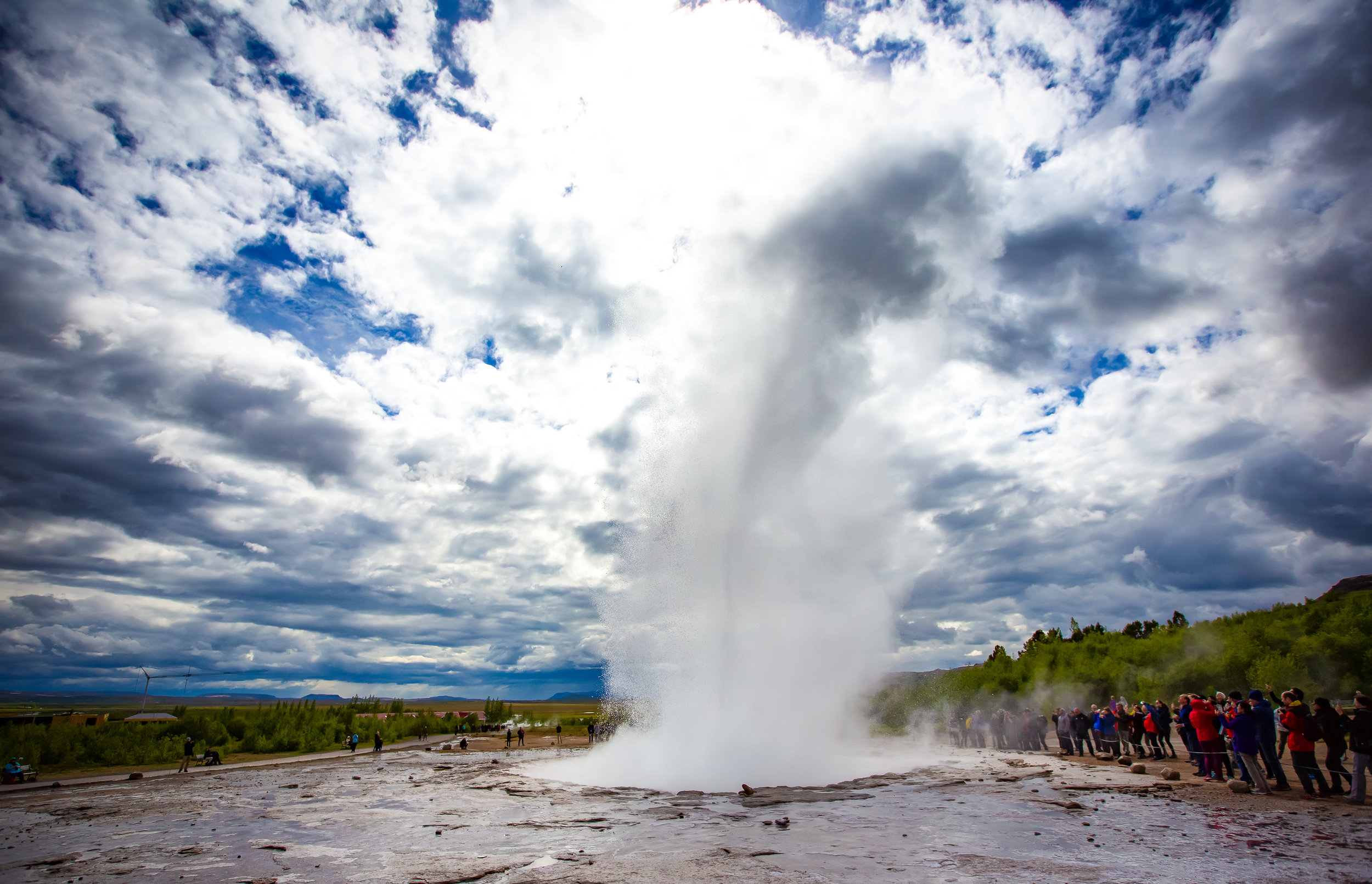
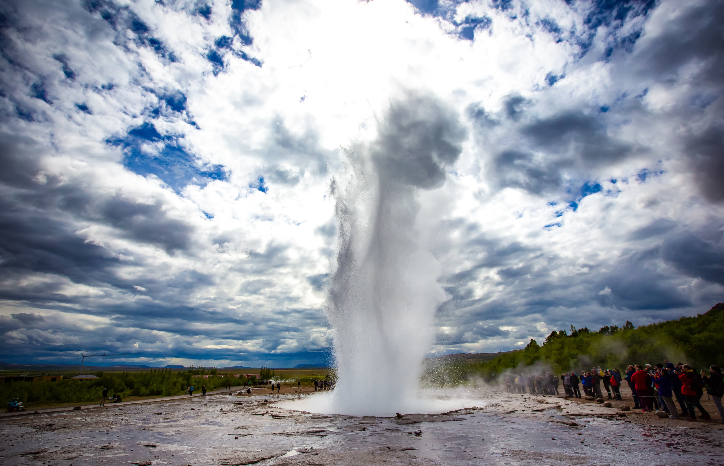
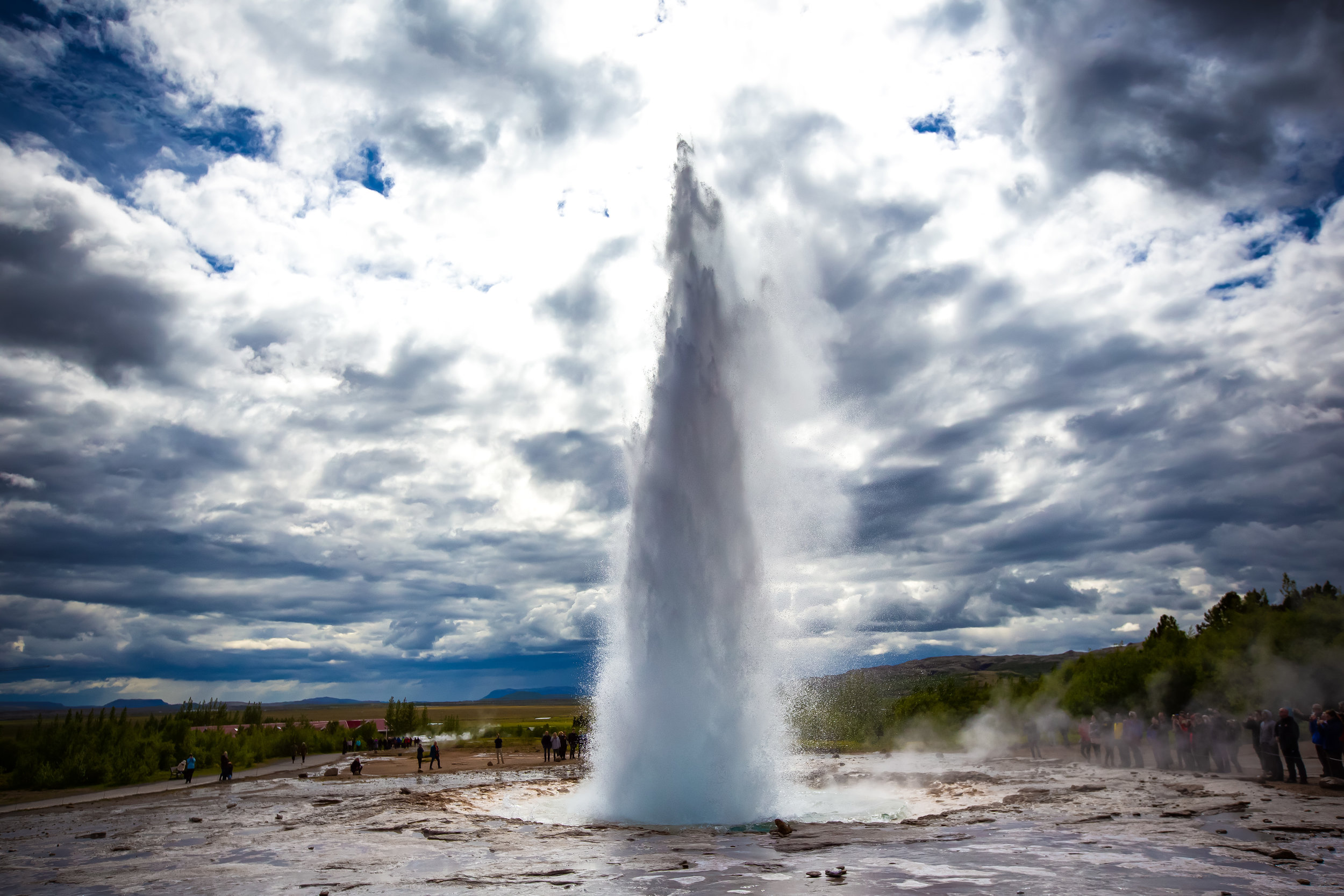
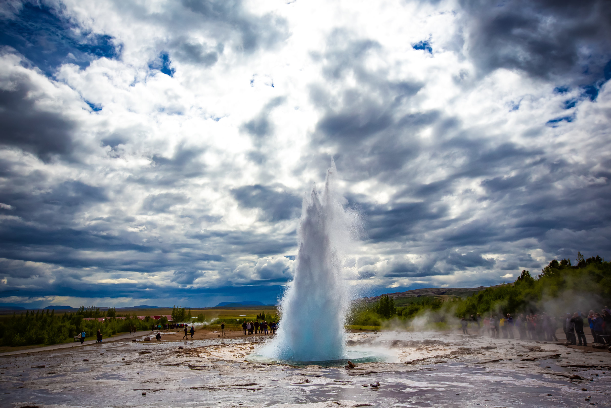
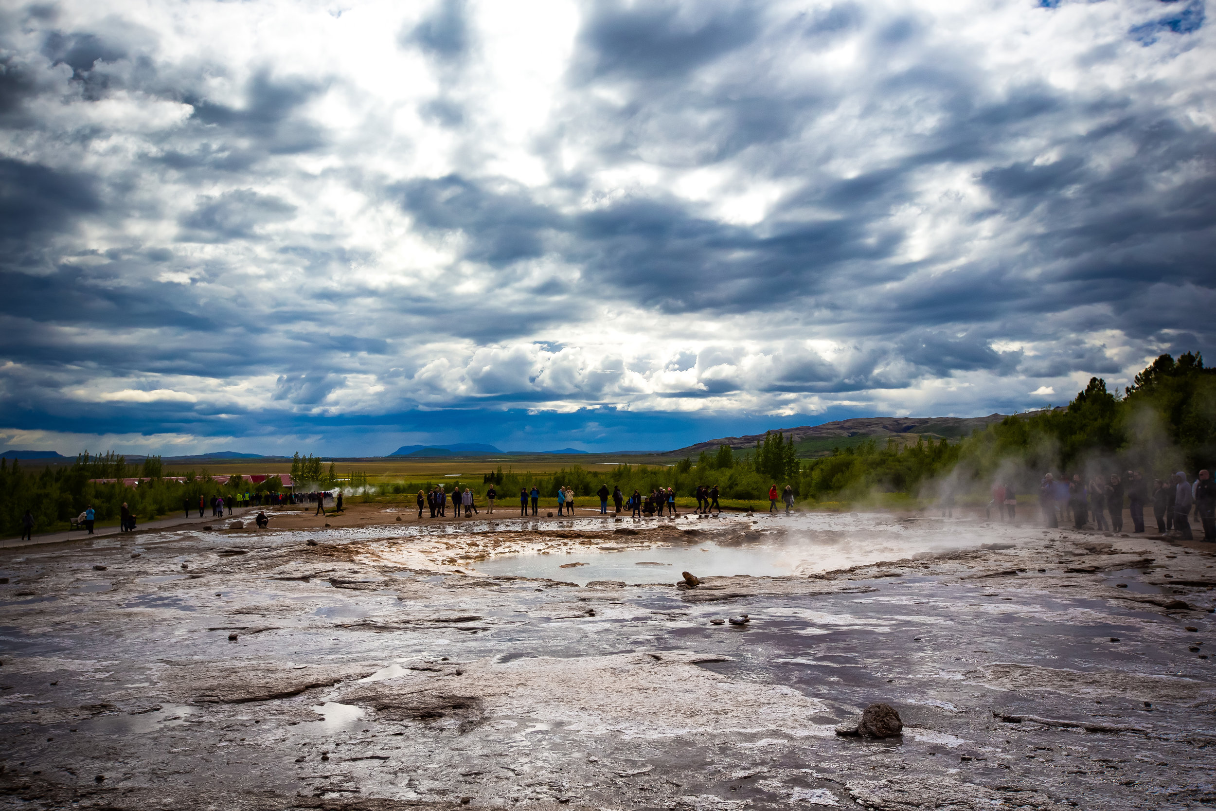
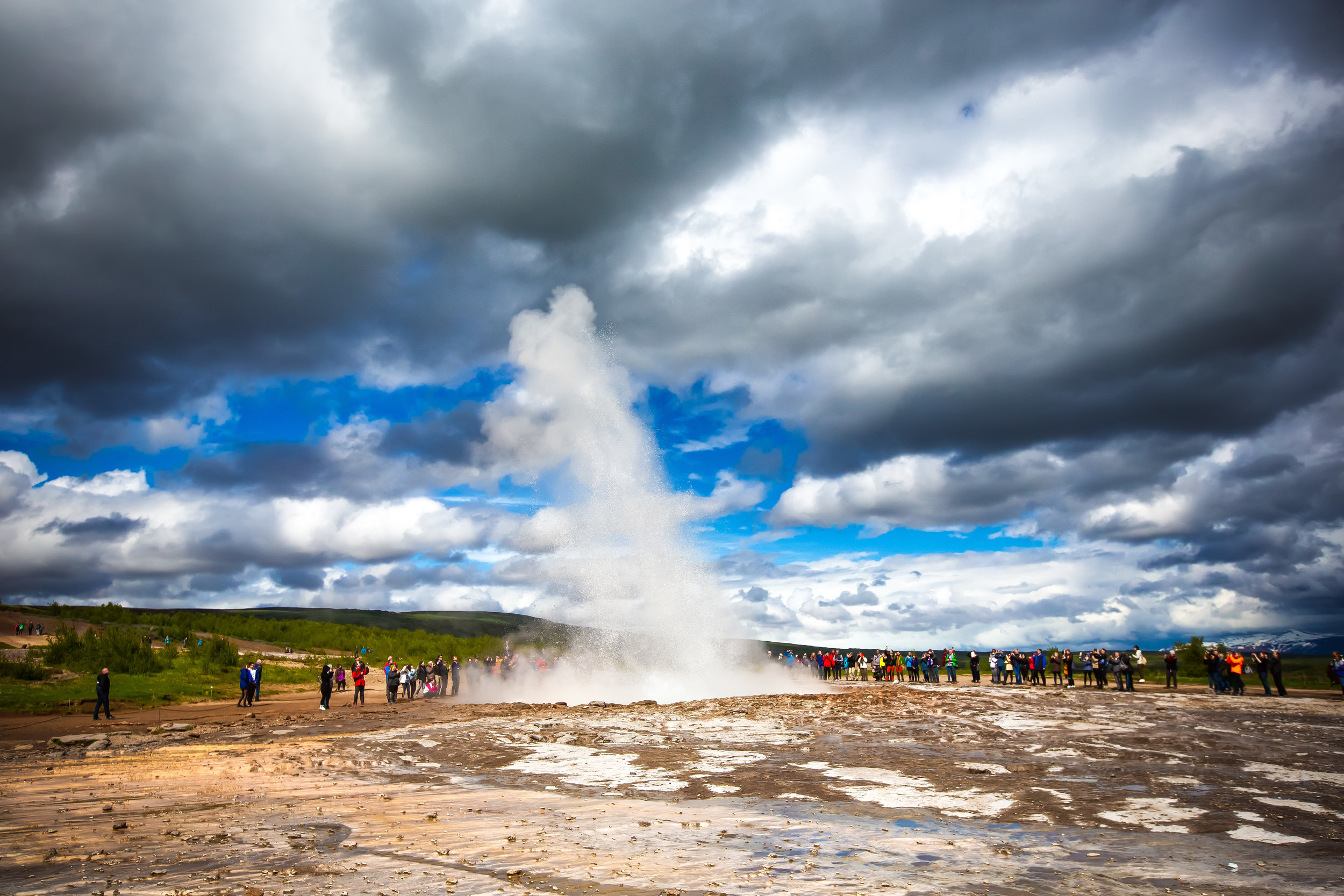
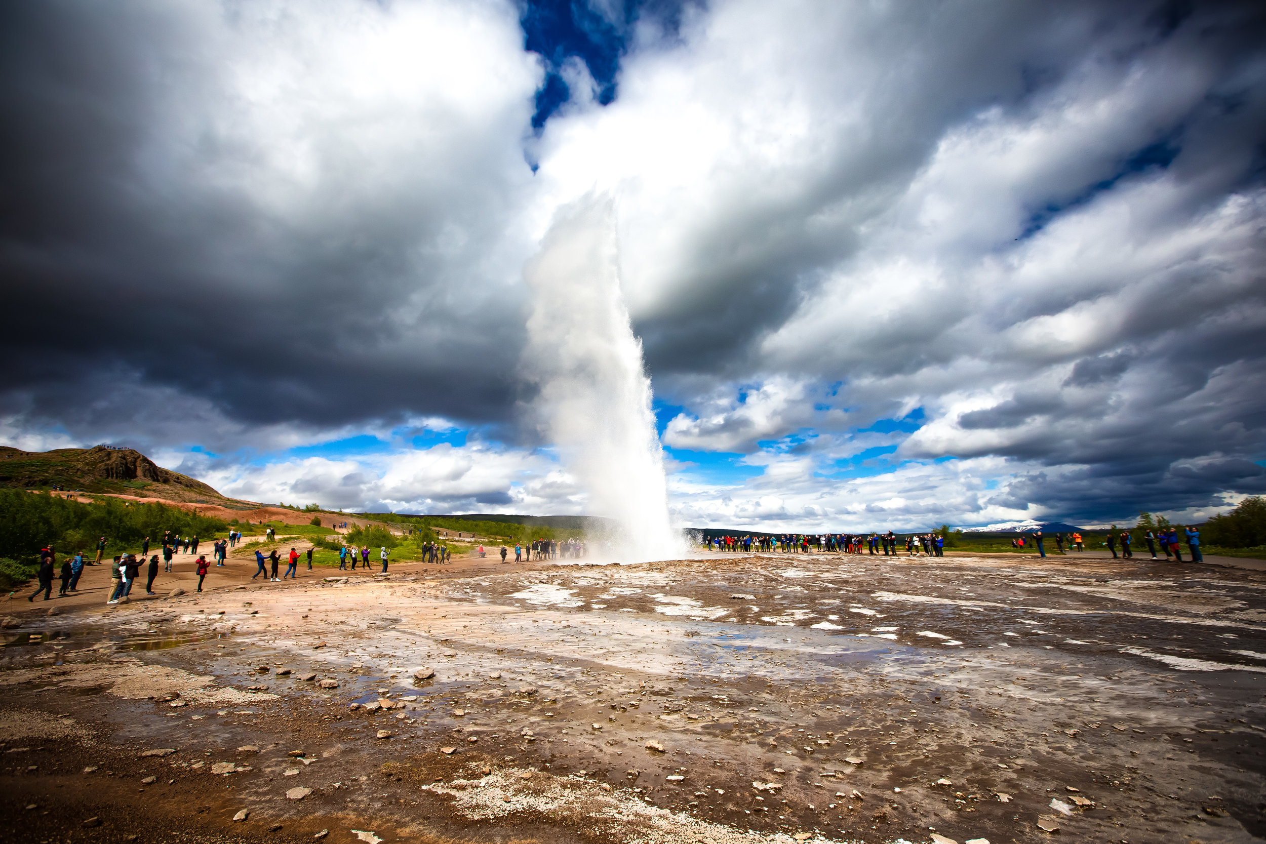
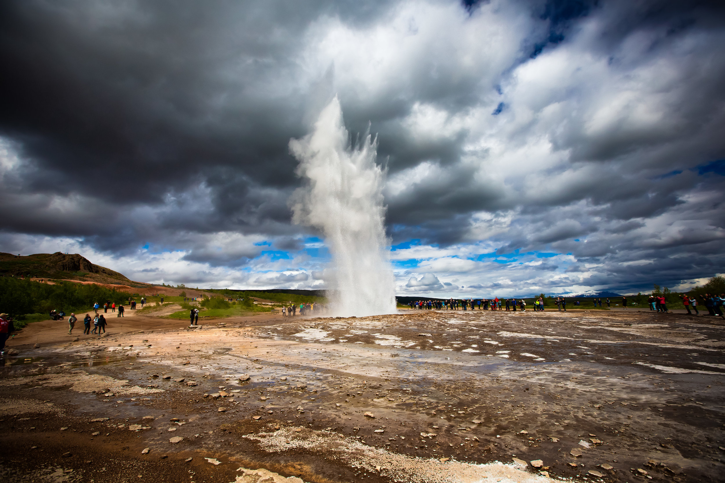
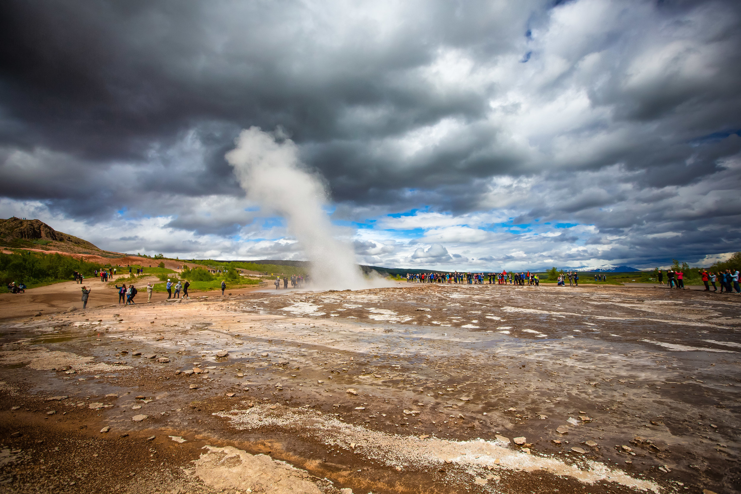
Currently the most active geyser in the park is known as “Strokkur” which erupts every five-to-ten minutes each of which reaching heights of anywhere between twenty to forty meters.

The Great Geysir on the other hand (a short walk from Strokkur) only erupts once every few years - When it does though it reaches heights of anywhere between seventy to eighty meters.

One eruption almost two decades ago was recorded as having a height of 122 meters.

Written records indicate that the area has been attracting sightseers since well before the 13th century but studies indicate that the Great Geysir has existed for much longer dating it at around 10,000 years. Its activity however has slowed down within the last two centuries due in part to tectonic activity and human stupidity.

In 1916, to the dismay of many, the frequency of the Great Geysir’s eruptions started to decline. In order to give it a bit of a ‘helping hand’ a few different attempts were made to get it to become active again:

  1. People threw rocks and coins into the pool - This had an adverse effect and blocked the pool.

  2. People then decided to dig a channel around around the edge of the pool to lower the water table - This worked for a short time until the channel became clogged.

  3. People then decided to pump soap into the pool to force an eruption which was a practice that lasted for almost a decade before coming to their senses and realizing the terrible impact on the environment that it was causing.

In the absence of activity at the Great Geysir, Strokkur has become the main attraction of the geothermal park thanks to the frequency of its eruptions. The Great Geysir however will someday make world headlines when it finally wakes up. 

Thankfully people have learned from past mistakes and have set up barriers to keep both tourists and the Geysir safe from further bouts of stupidity. When you visit the area you’ll notice that there are warning signs that strictly prohibit visitors from throwing objects into any of the geysers or hot spring pools around the park.

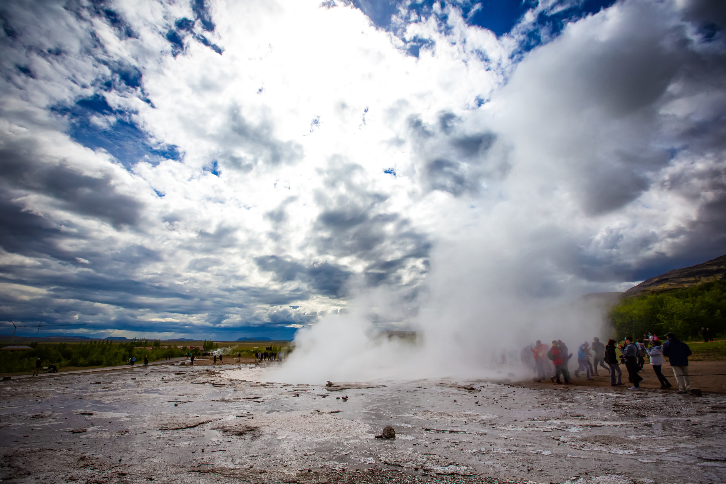
Depending on the direction the wind is blowing and where you’re standing, it is possible that you may get wet when Strokkur erupts. When I visited it seemed like tourists enjoyed their hot steam baths when the geyser erupted. I’m not sure I’d want to get wet in the middle of winter though.  

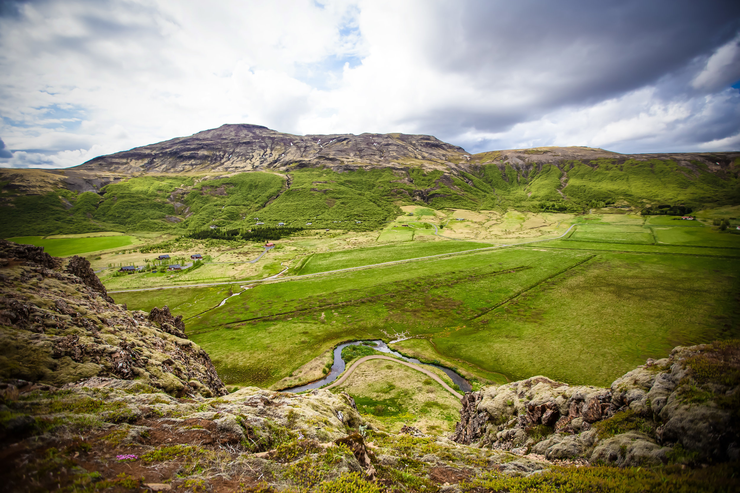
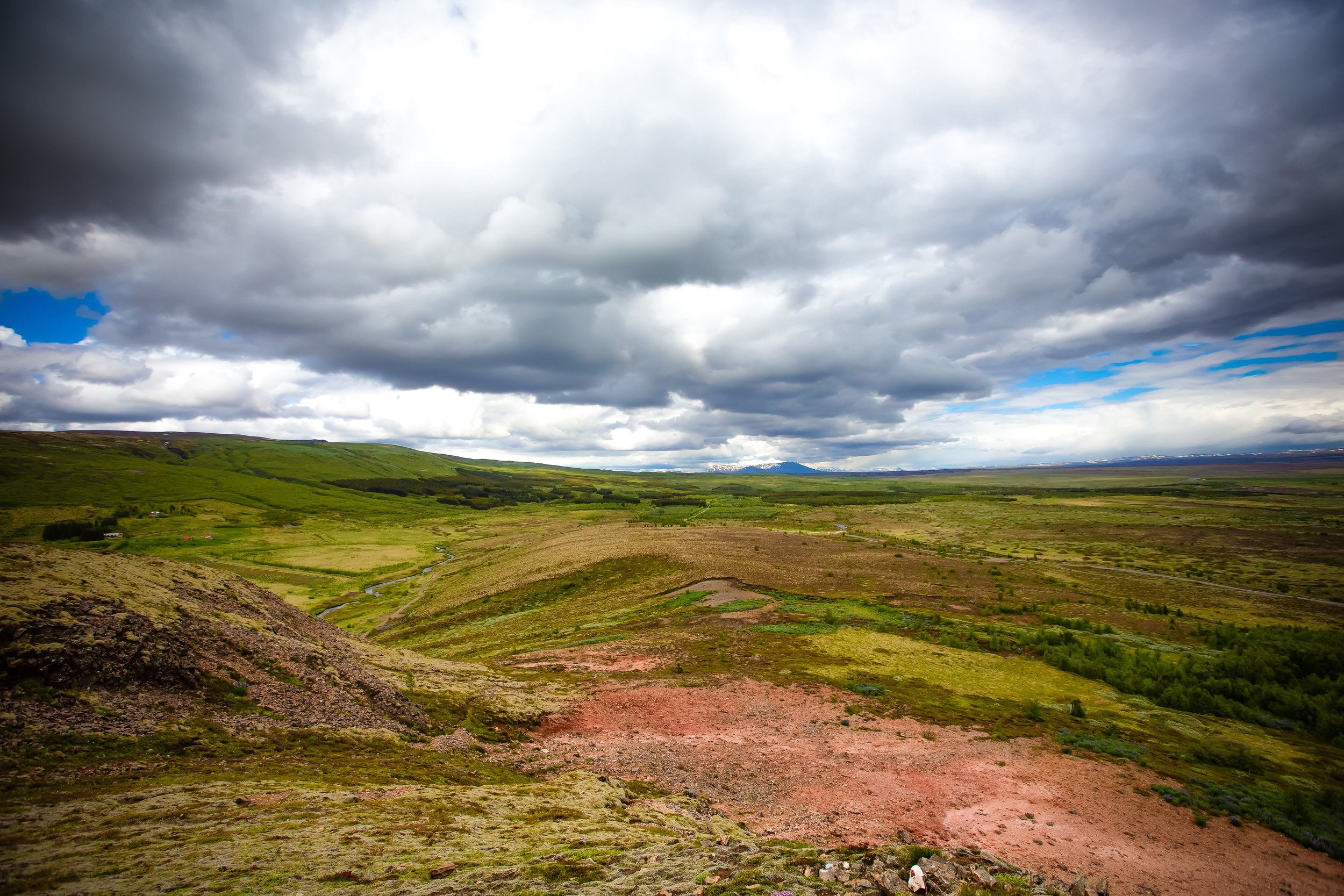
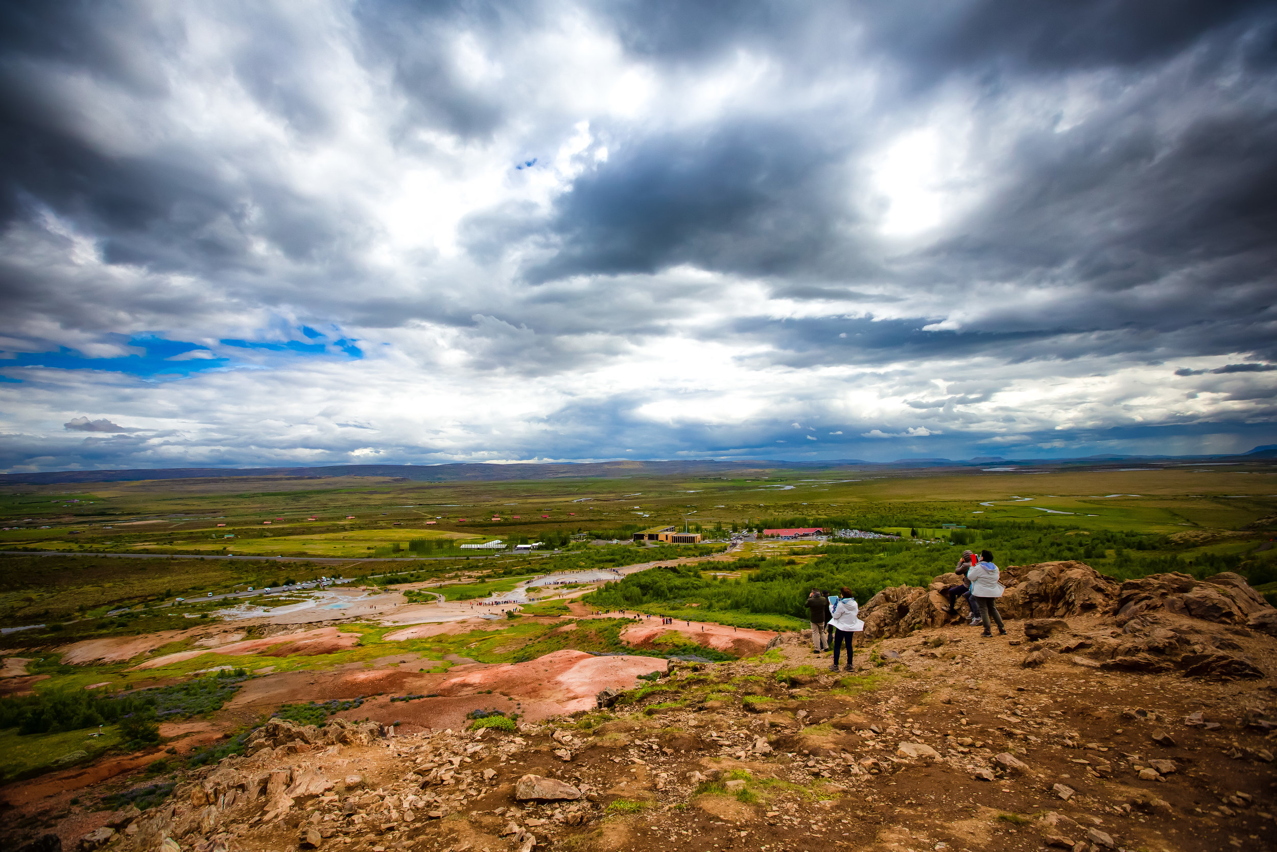
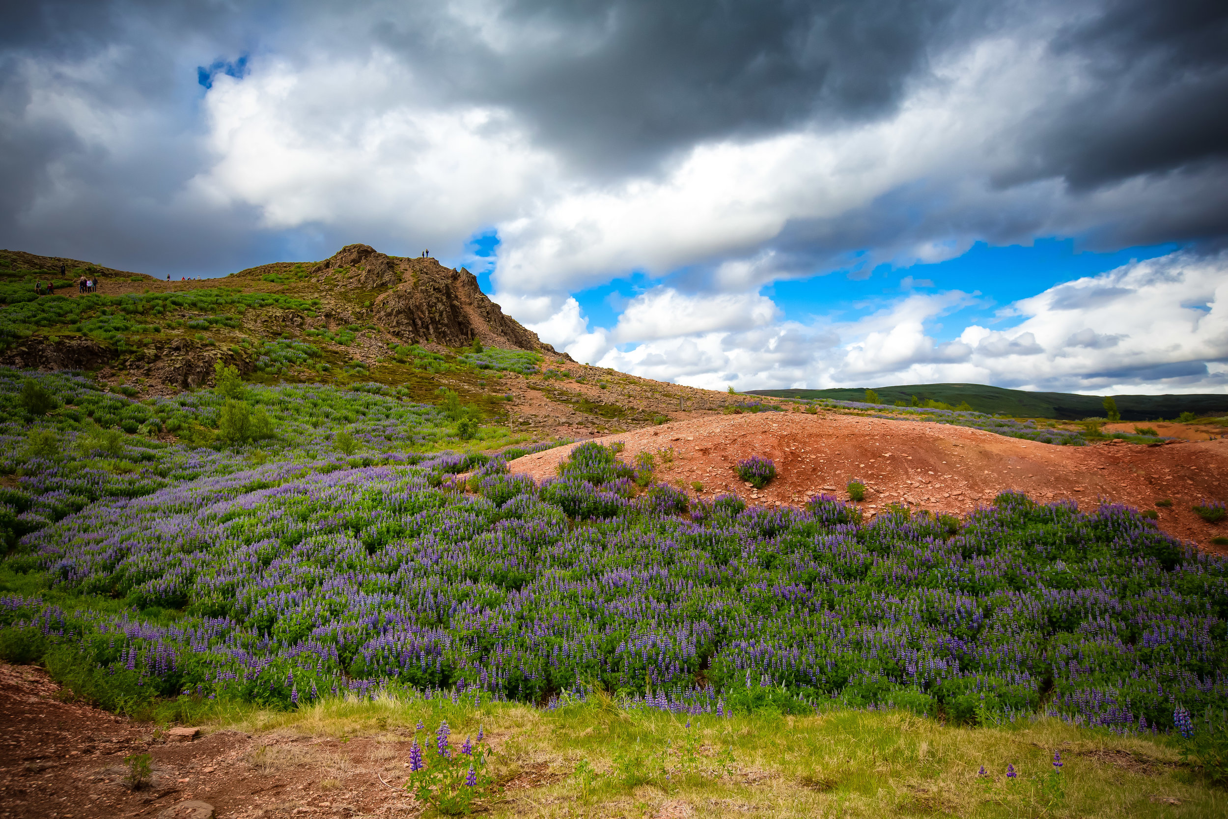
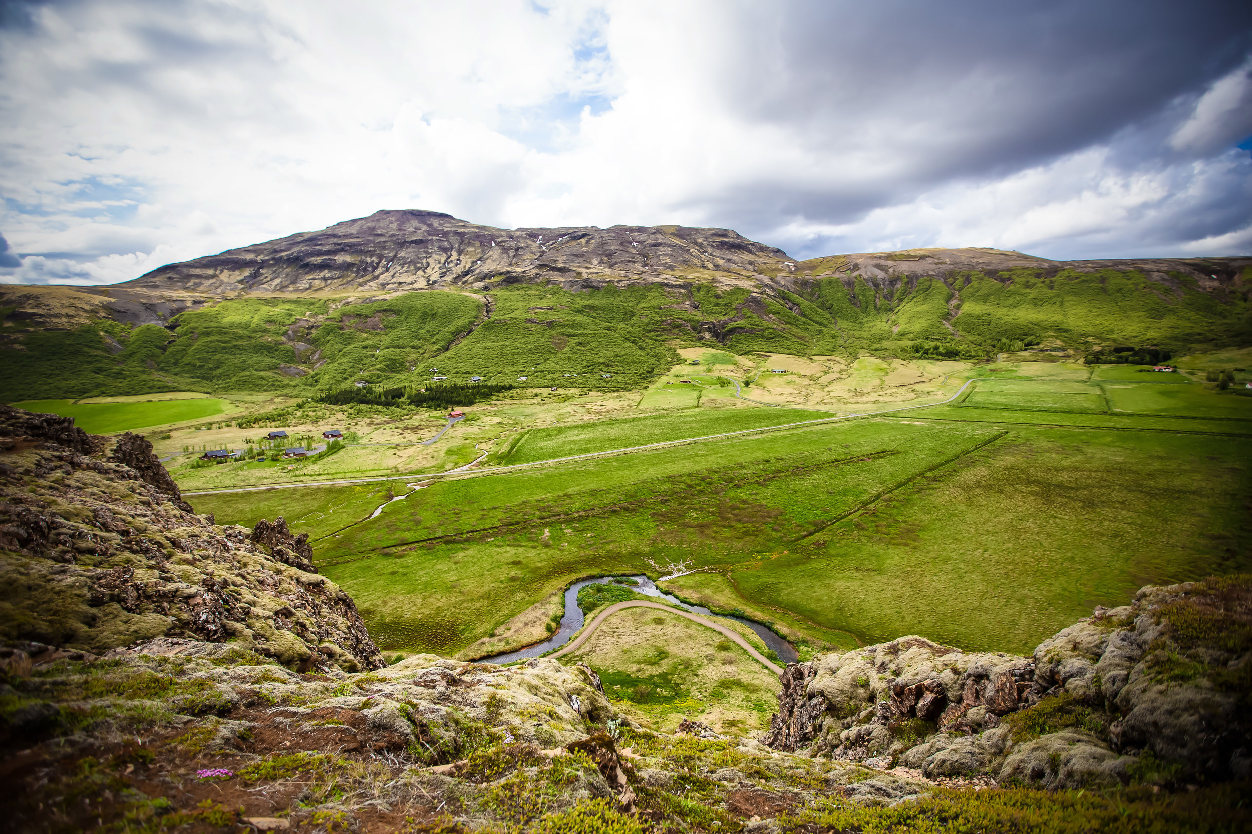
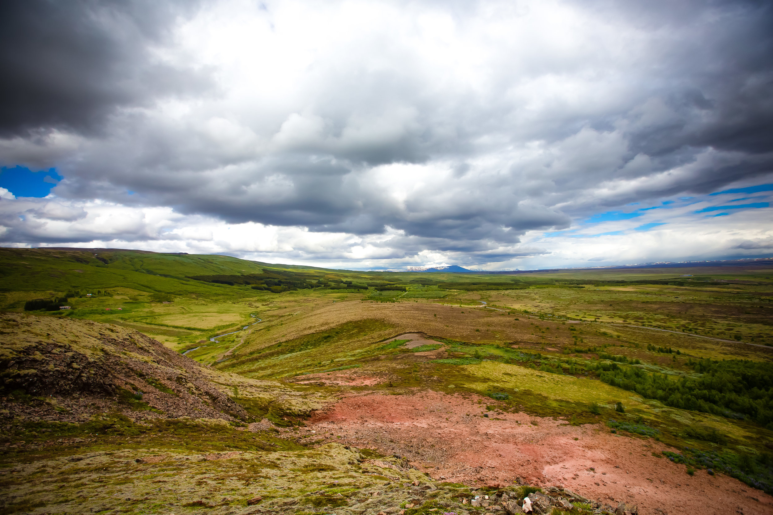
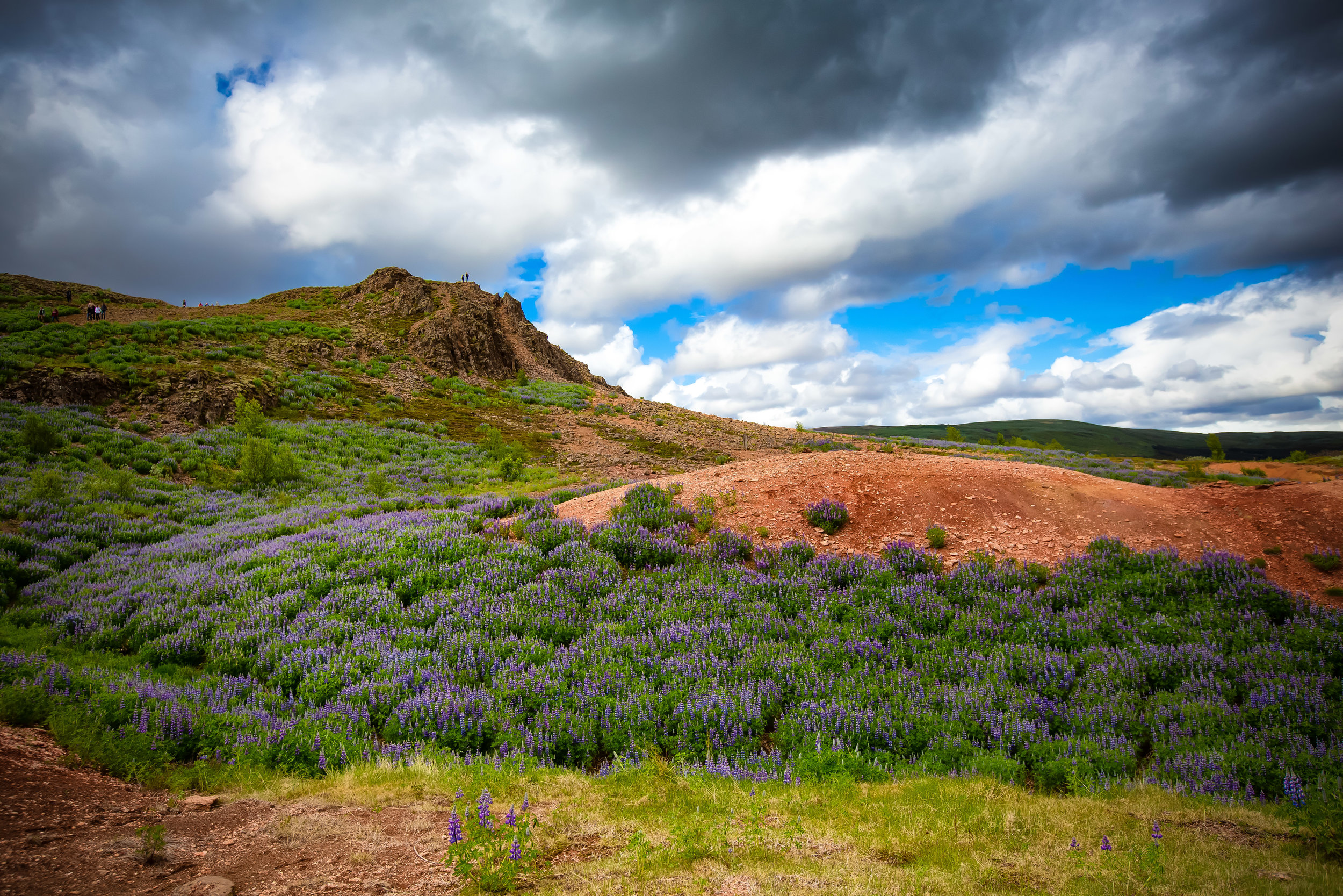
While visiting you may want to consider walking up the short trail that will take you to the top of Mount Bjarnafell. At the top you can get a different perspective of the geyser erupting as well as panoramic views of the beautiful Haukadalur Valley.

The hike should only take you about five to ten minutes and is well worth it. 

The area near Geysir is currently being developed with restaurants, resorts and shops nearby - In the future there will be a mixture of high-priced hot spring resorts as well as log cabins and camping grounds for people to stop and spend the night. The area is especially beautiful during winter when the Northern Lights come out.

Already completed is a beautifully constructed ‘shopping centre’ of sorts that sells Icelandic souvenirs, has a gas station, convenience store and a restaurant-cafe on site.

If you’re feeling hungry or need a coffee, this is one of the only spots in the area to get something. You will unfortunately have to pay a premium price to get something - A bottle of beer for example was around $16 USD!

Getting There


The Geysir Geothermal Park is about a 100km drive away from Iceland’s capital city of Reykjavík along the Golden Circle via route 35 or 36.

The geothermal area is the second major stop (after Öxarárfoss) along the Golden Circle route which for most people culminates with the Gullfoss waterfall.  
A stop at the Geysir Geothermal Area won’t really take much time out of your busy day of travelling around the Golden Circle.

You’ll want to stick around to see the geyser erupt a few times before taking a walk up the mountain and visiting the shopping centre across the street.

There is no admission fee for the geyser area, but depending on where you park your car, you might have to pay a fee.

Geysers are an uncommon natural sight and if you’re in the area, I highly recommend taking the time to stop by before heading on to your next location!


Öxarárfoss Waterfall

This post is going to be the first of many travel blogs from my recent trip to Iceland with plans to post each blog chronologically following the route I took while driving around the country. 

My plan with these travel blogs is to depart somewhat from my typical blogging style focusing less on text and more on the photos as some of these locations don’t need to be explained with as much detail as some of the destinations I visit here in Asia.

I will however be sure to add some personal thoughts, some travel advice and other related information for travellers.

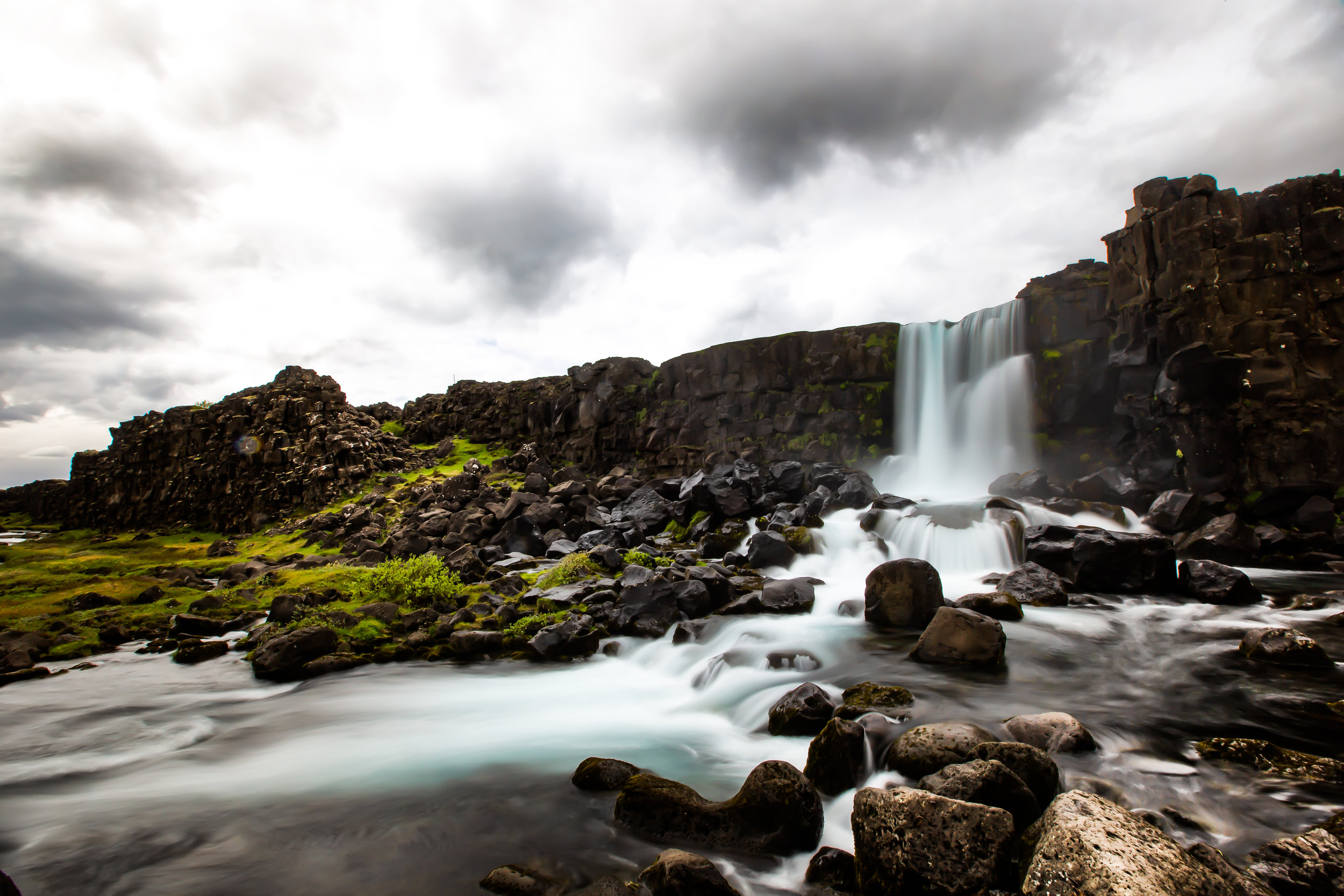
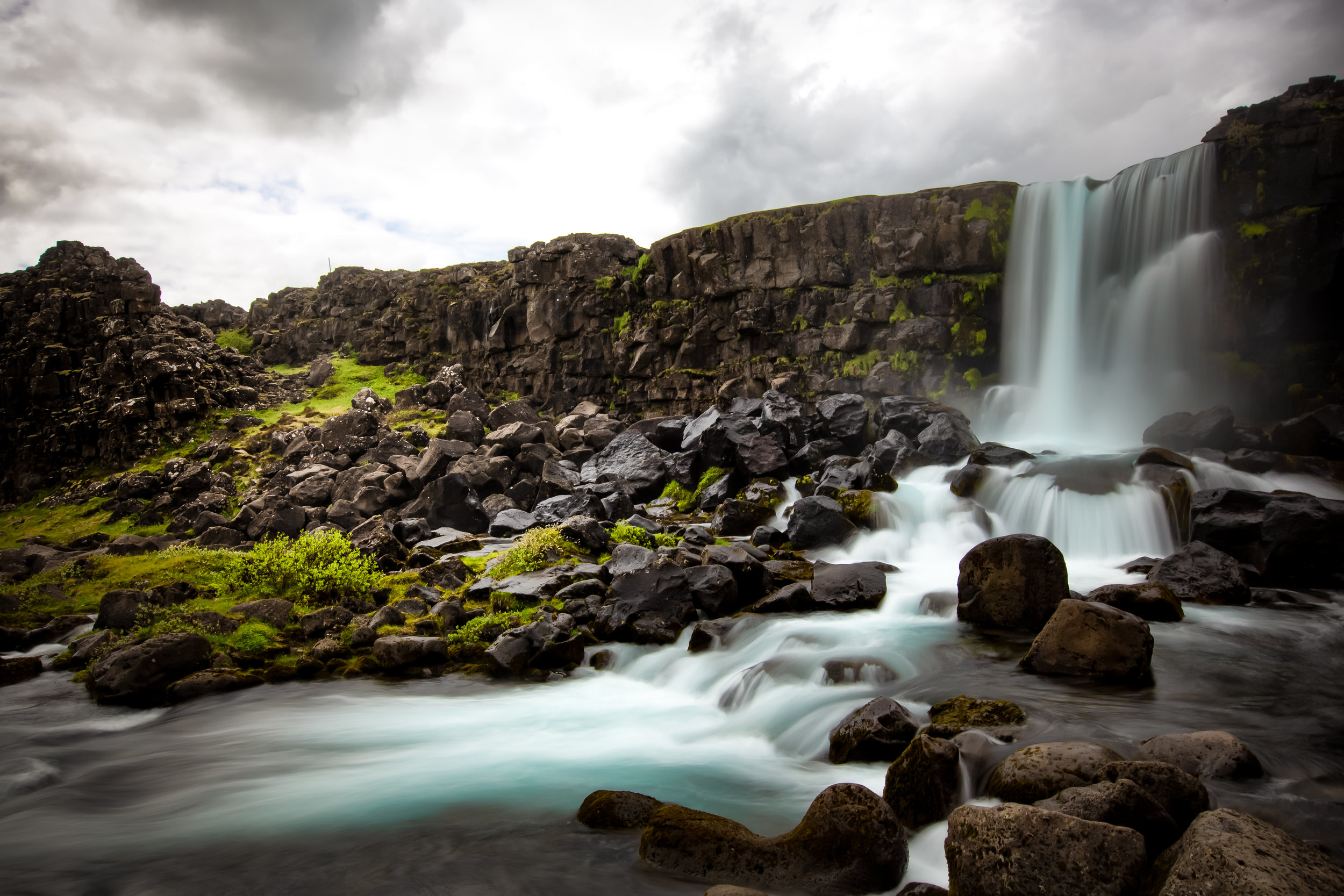
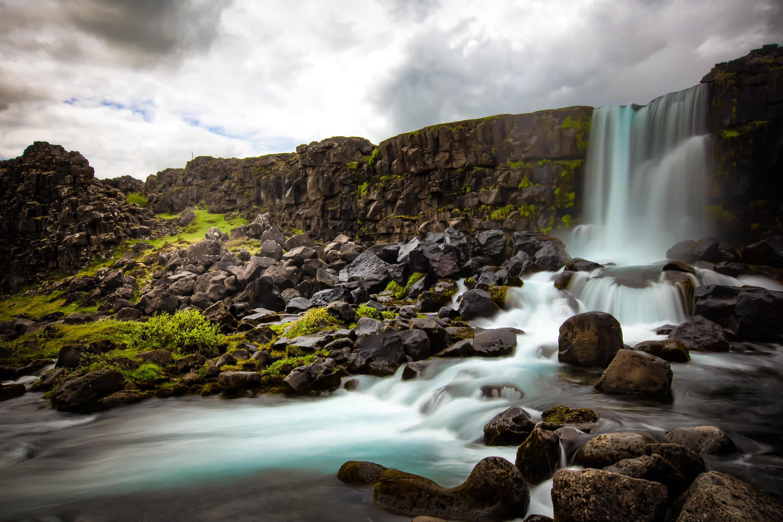
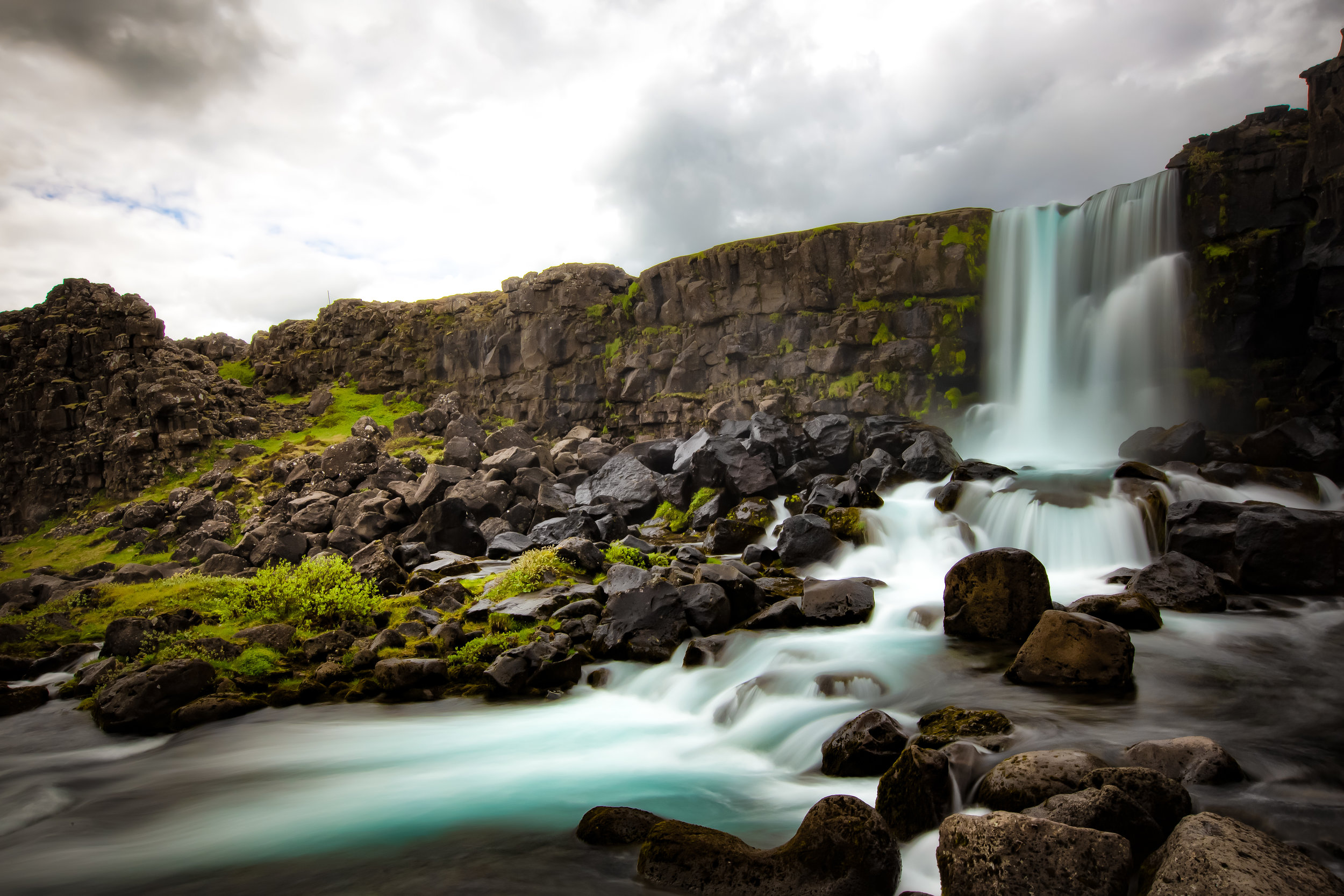
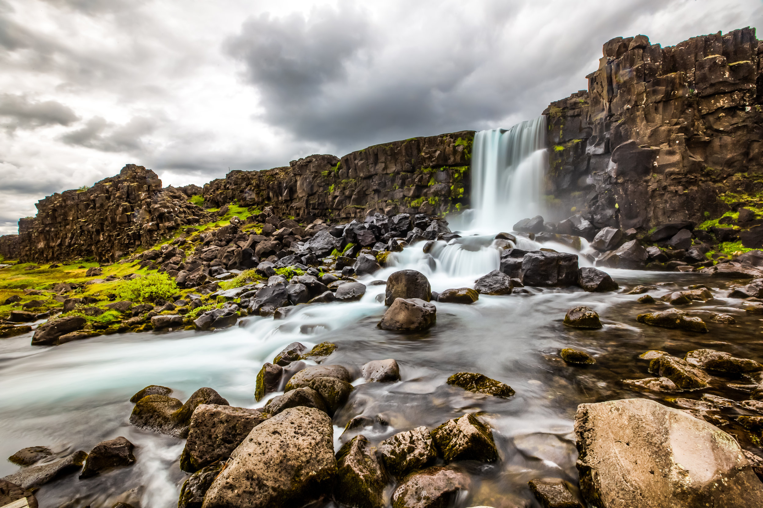
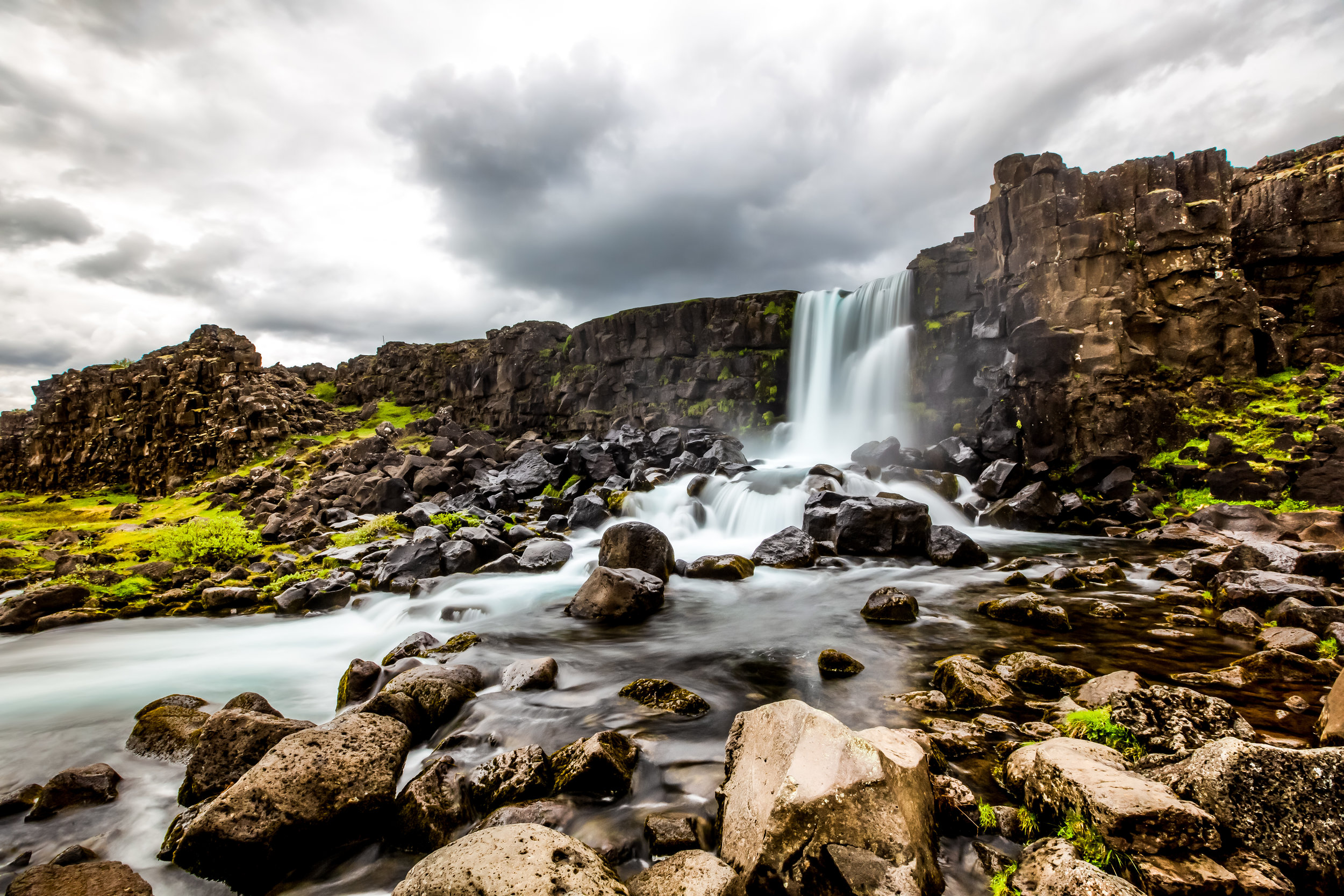
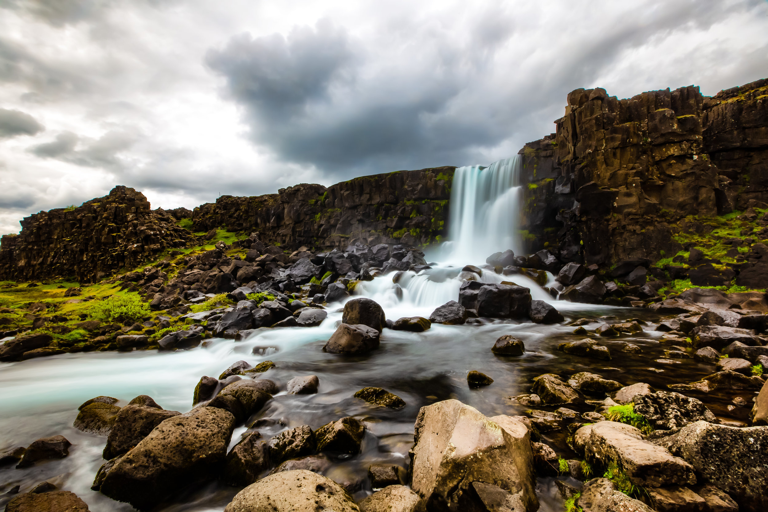
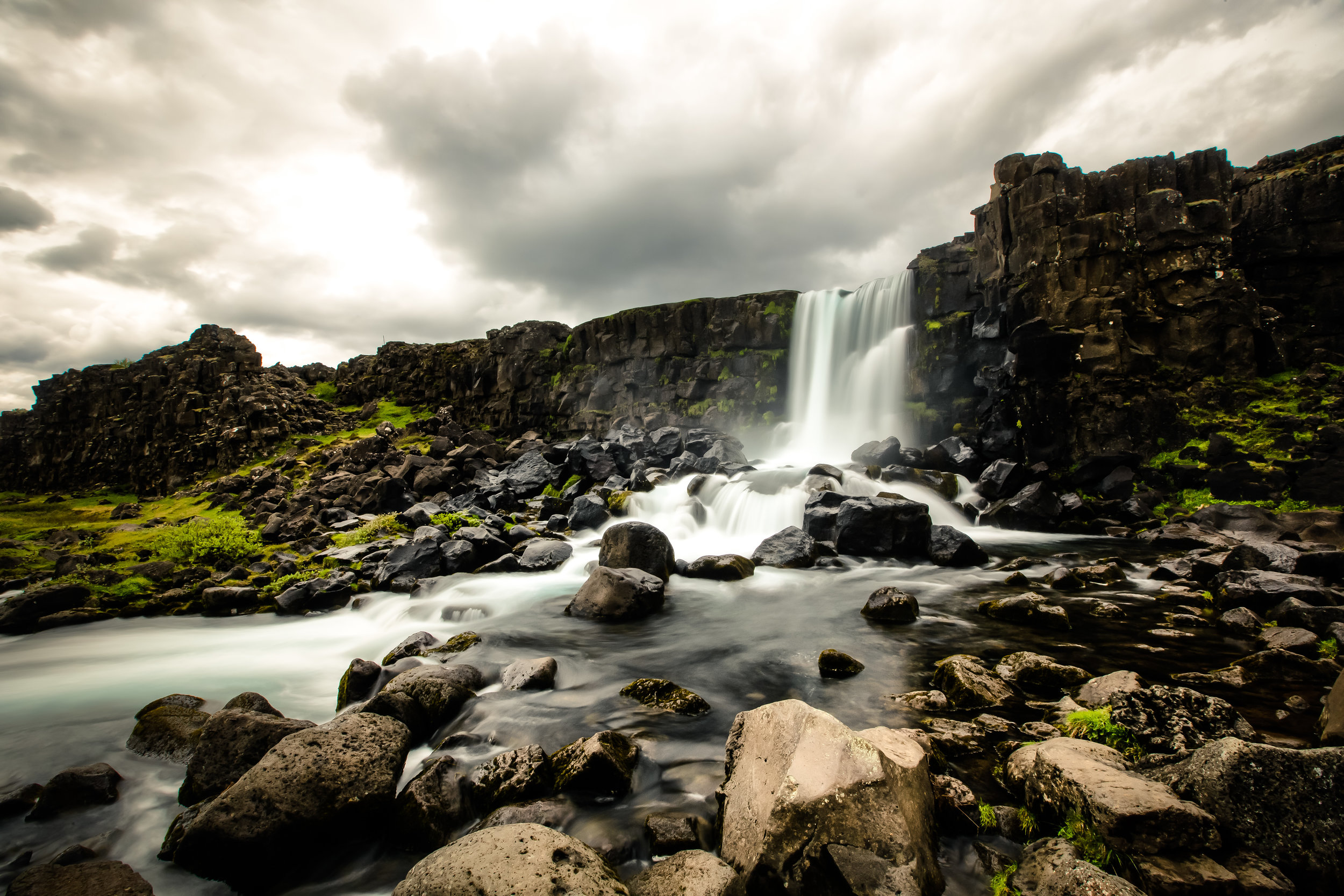
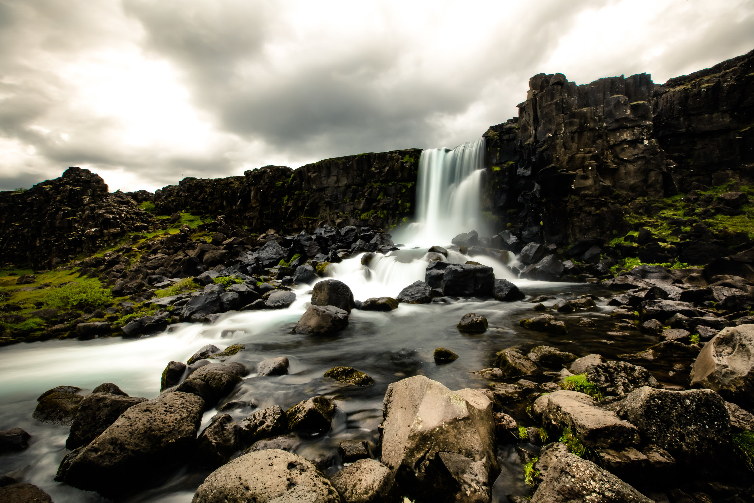
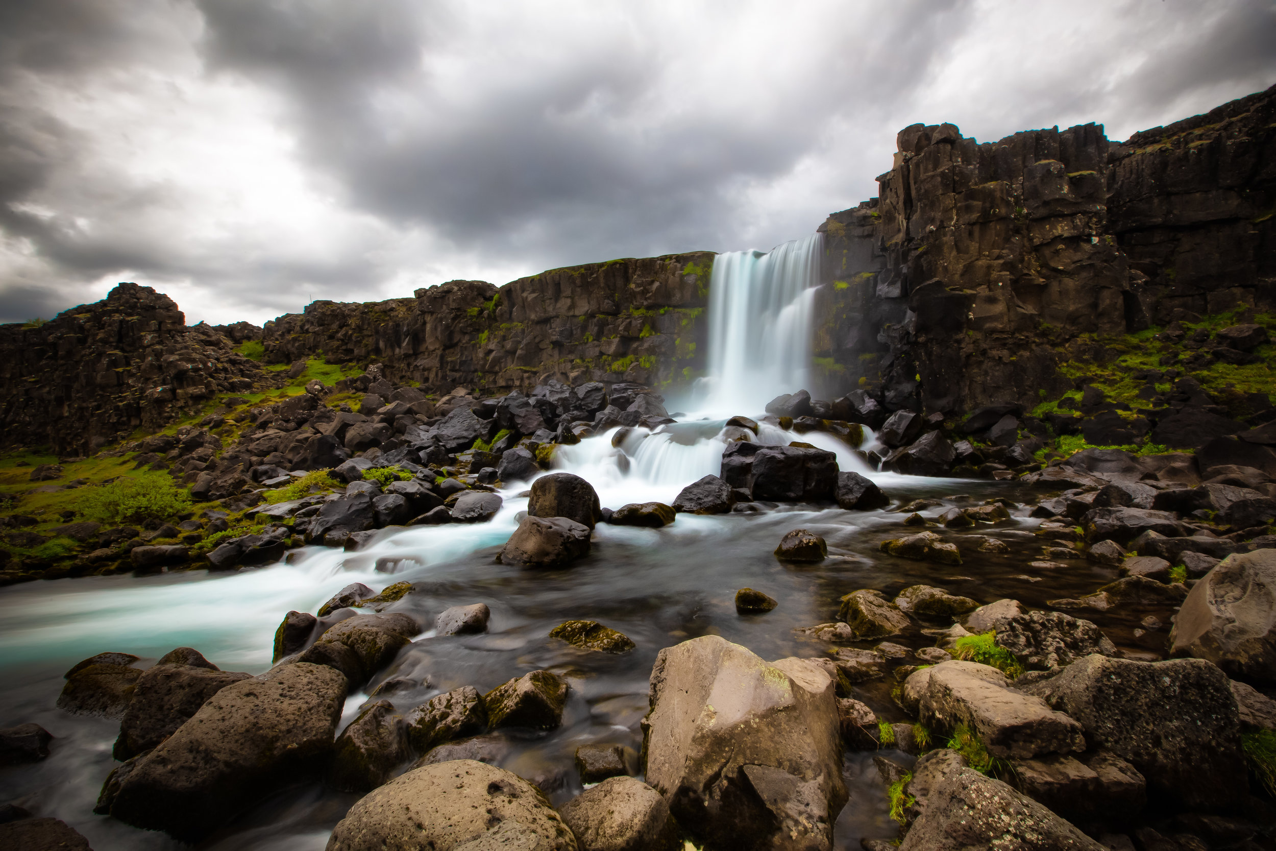
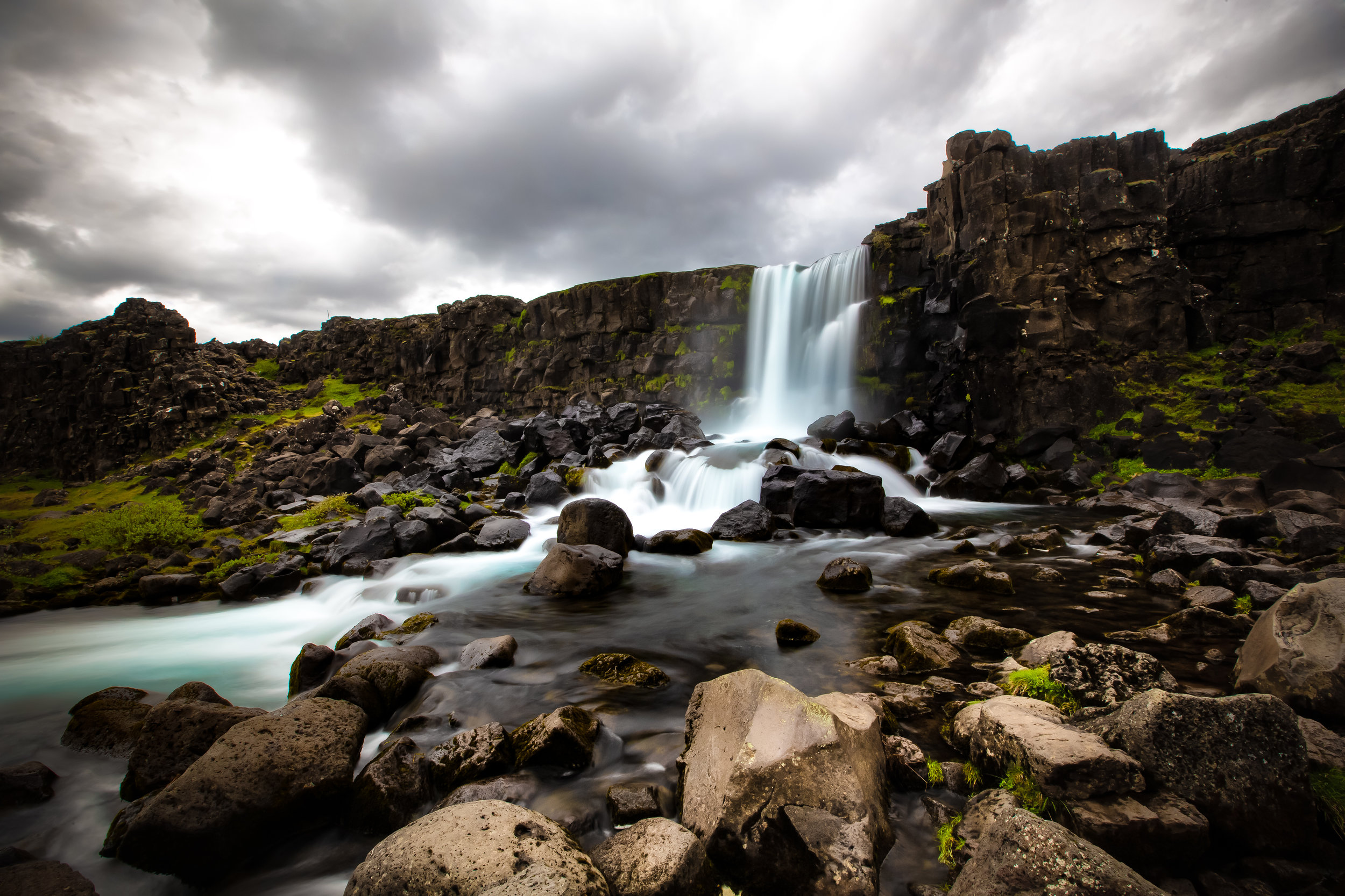
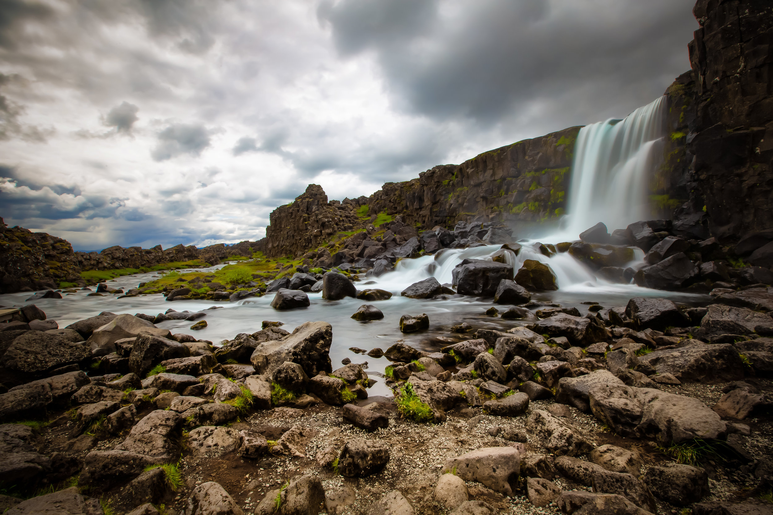
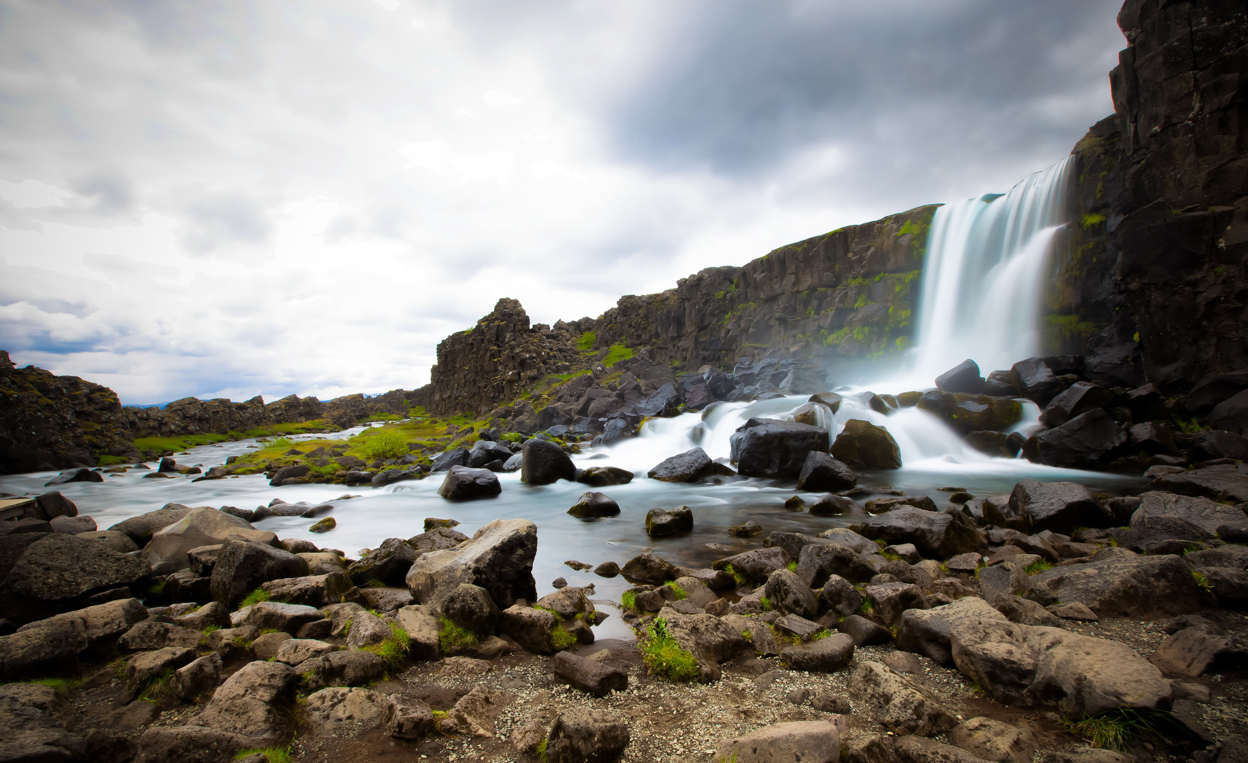
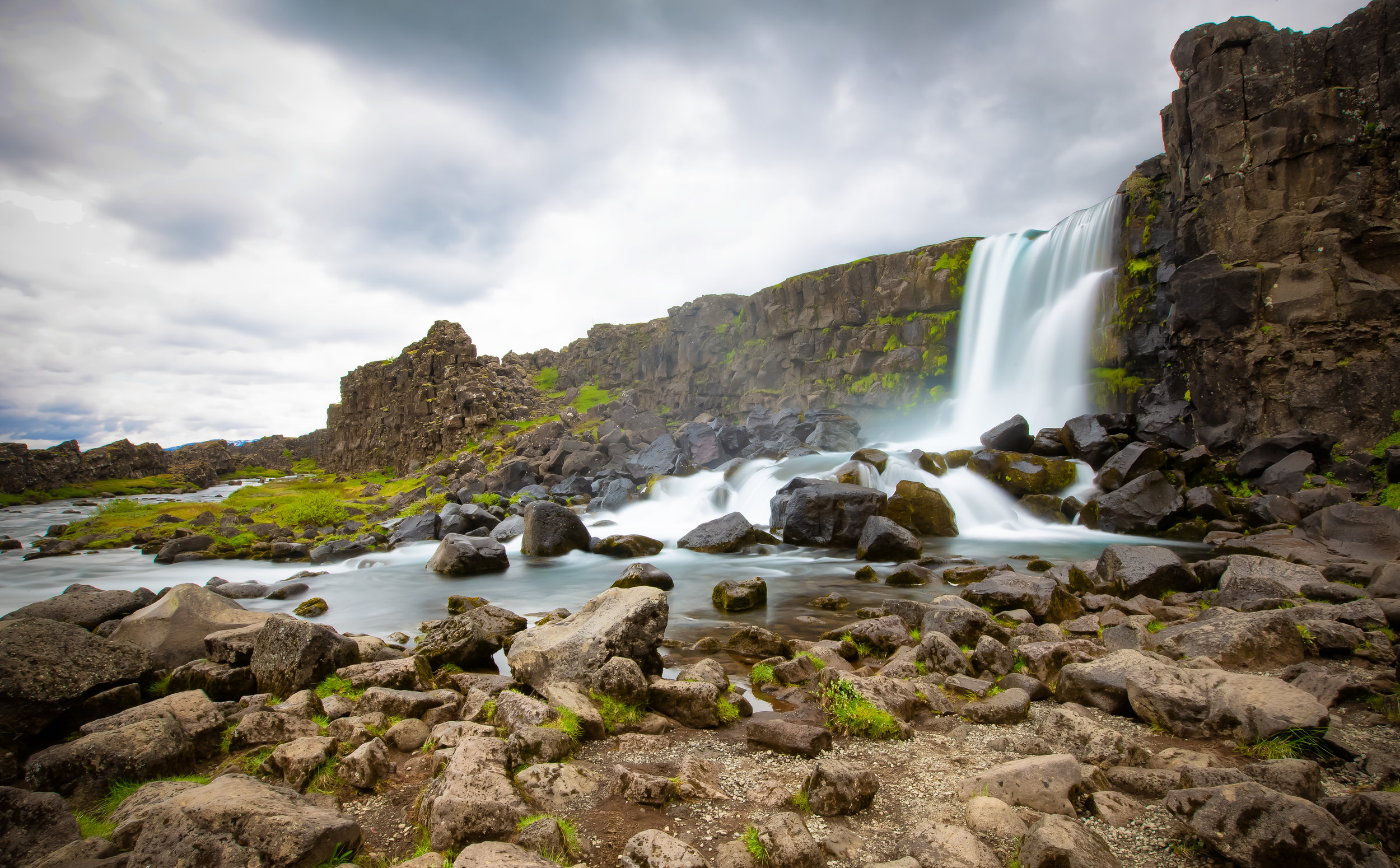
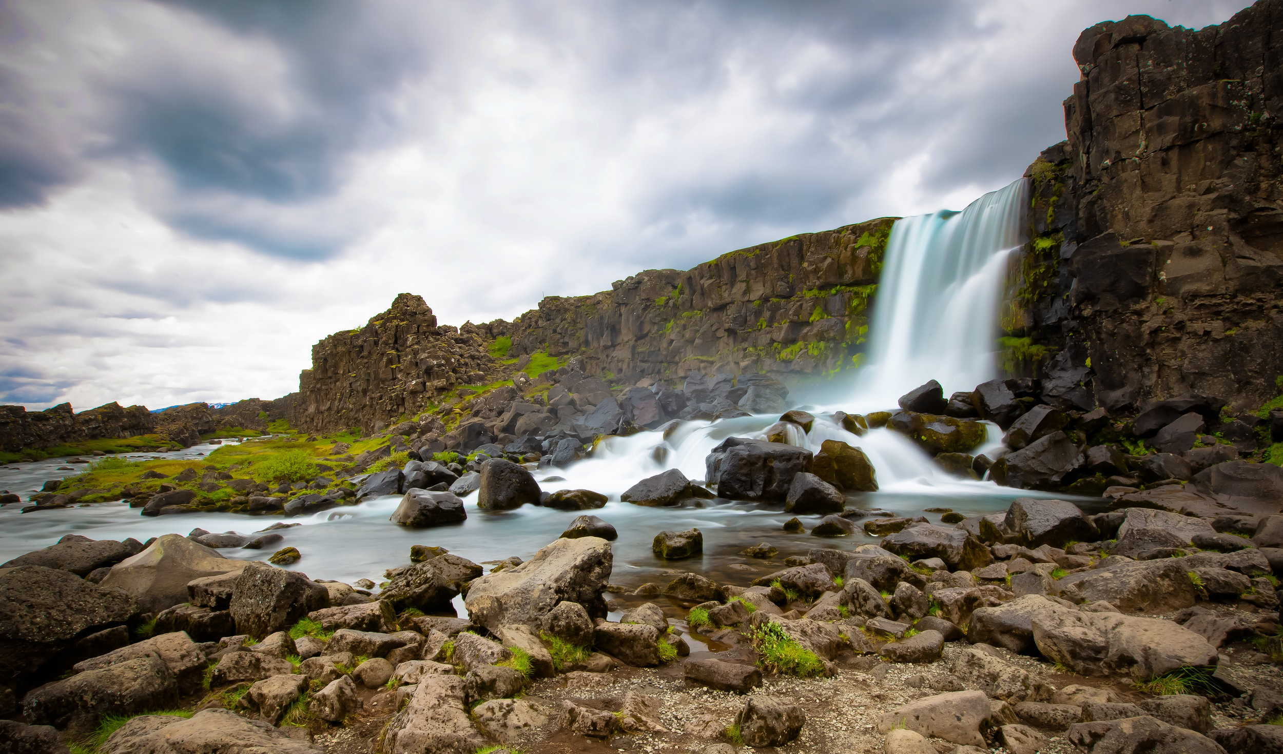
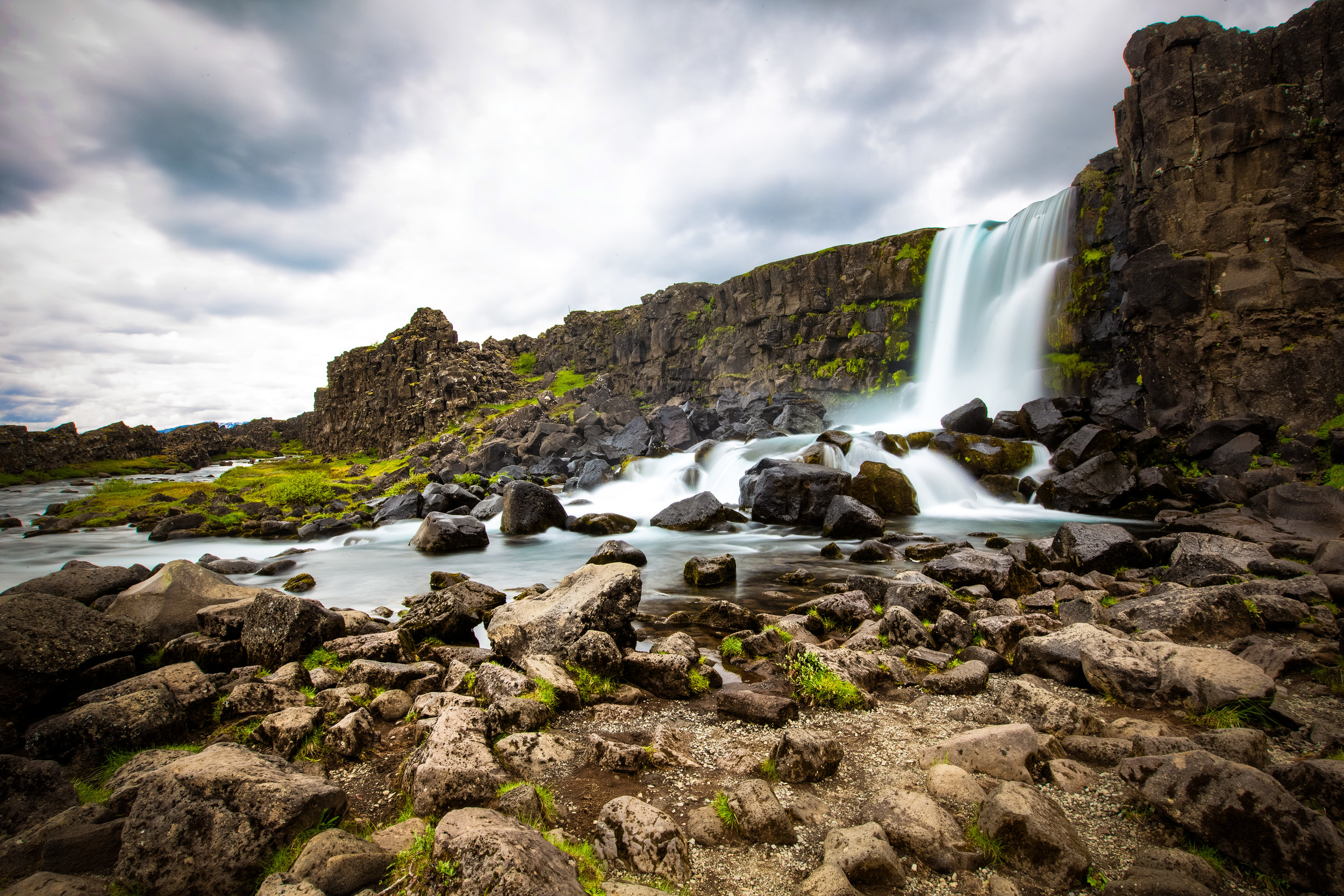
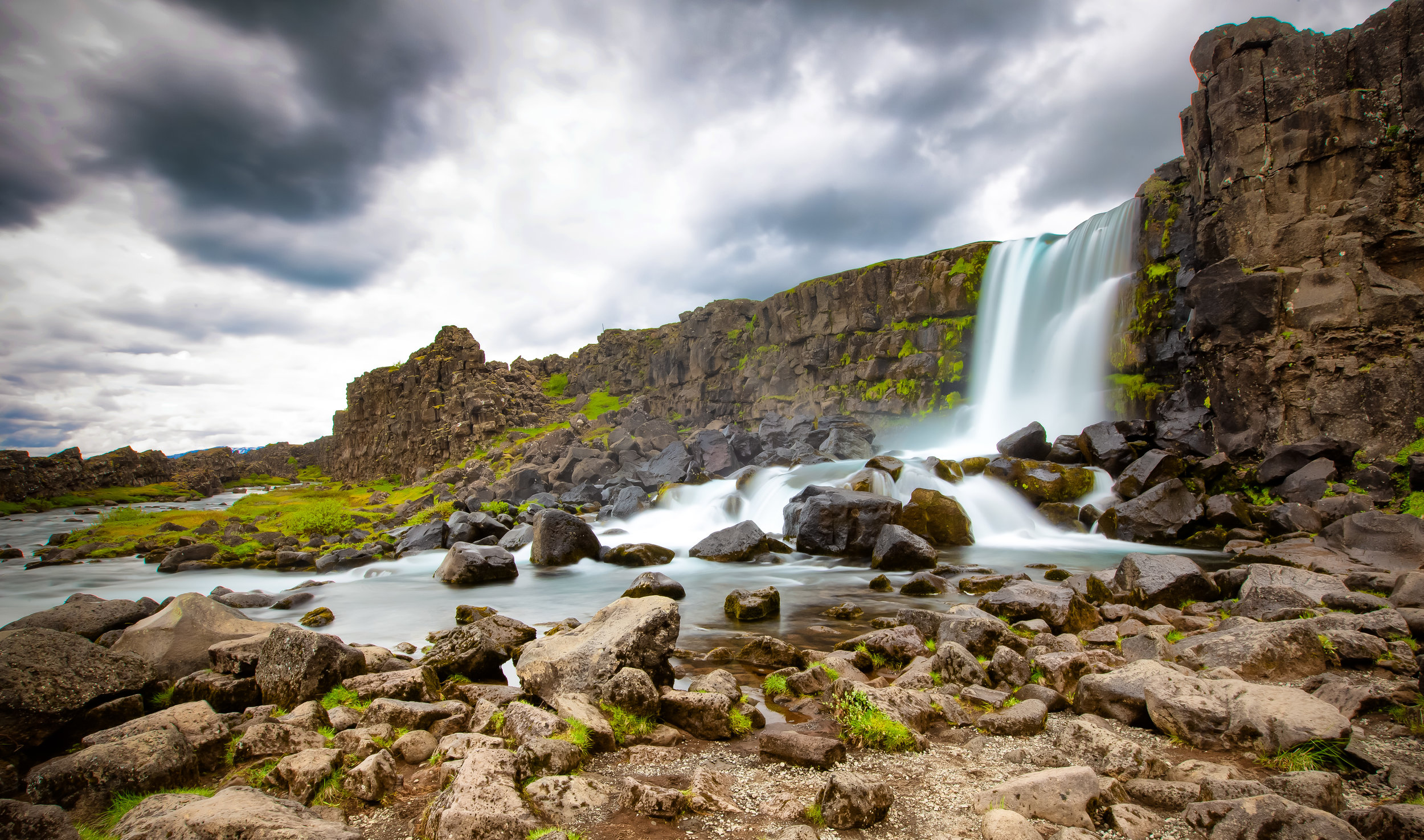
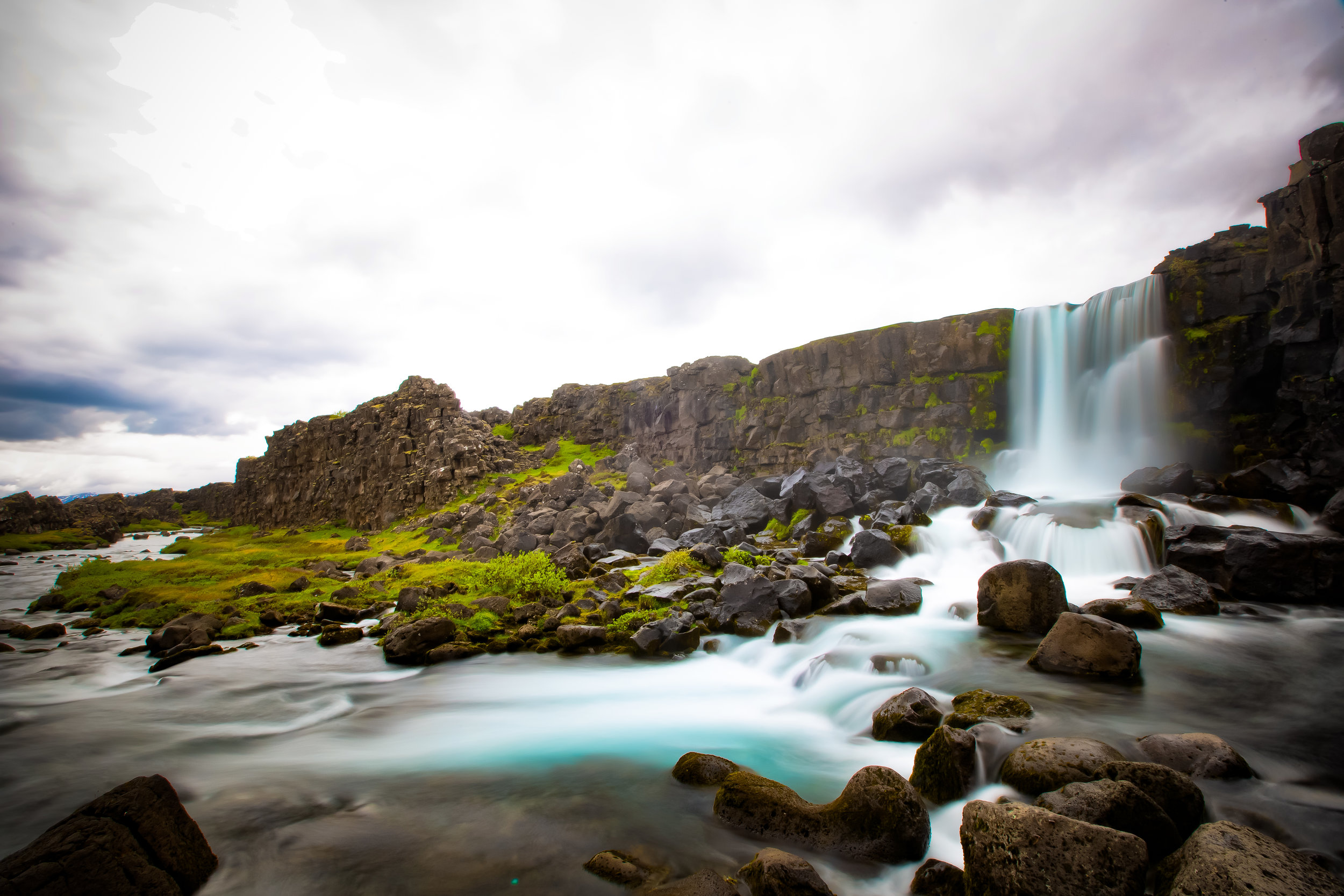
The “Waterfall in Ax River” or “Öxaráfoss” as it is known locally is more than likely going to be one of the first major destinations on every travellers Iceland itinerary.

Situated within the beautiful Þingvellir National Park, only a short drive outside of the capital city of Reykjavik, the waterfall is a popular location for both tourists and locals alike.

By Icelandic standards, the twenty-meter tall waterfall is a small one in comparison to all of the others you are going to see on your trip - It is however said to be one of the Icelandic people’s most well-loved waterfalls due to its location and for its historical significance.

As mentioned above, the waterfall is situated within Þingvellir National Park (Pronounced “Thingvellir”), a designated UNESCO World Heritage Site which has a history dating back to the 9th Century.

The park is not only home to Öxaráfoss but also several other (much larger) waterfalls, Iceland’s largest lake and is renowned for its displays of volcanic and geothermal activity.
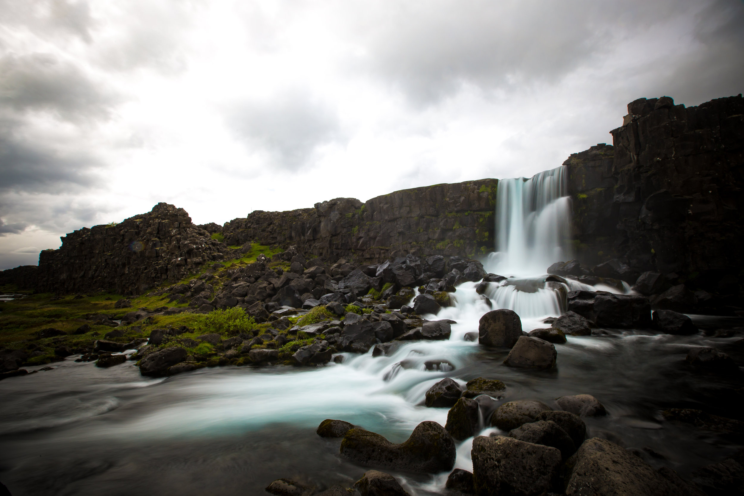
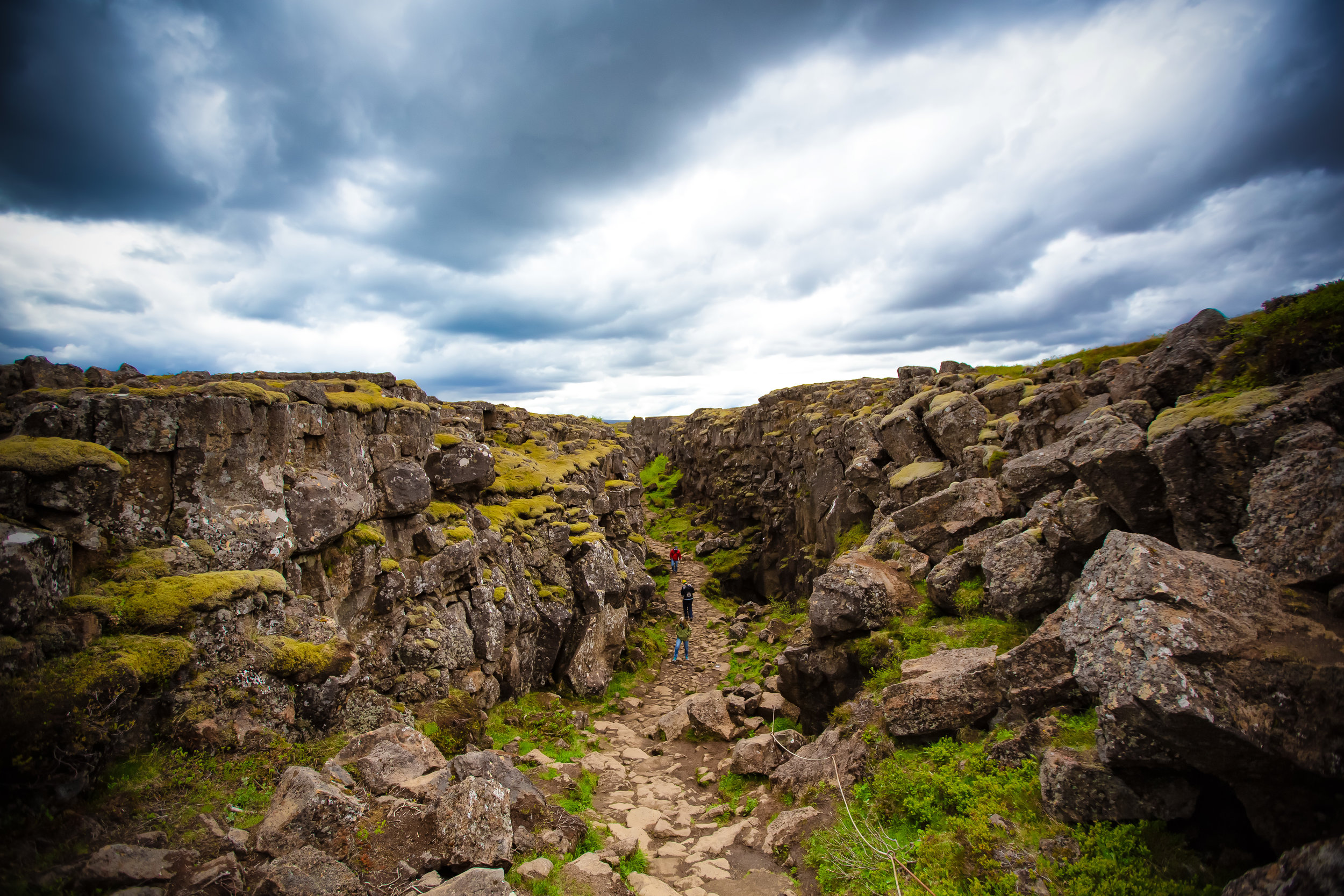
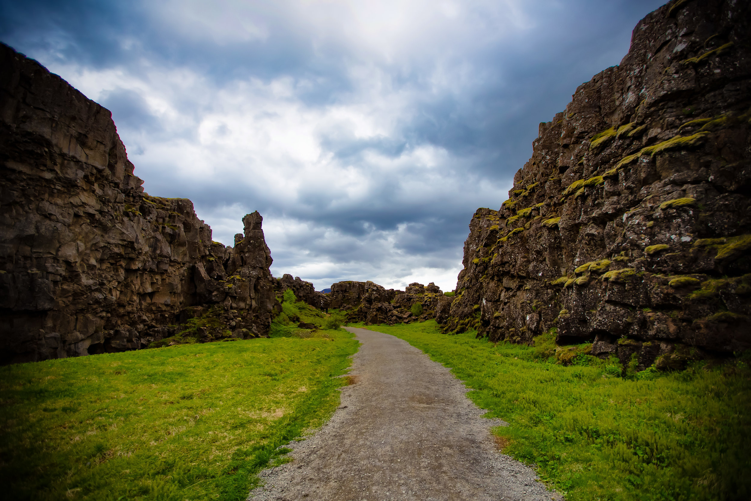
Most notably, the Rift Valley where Öxaráfoss is located is also home to the physical boundary between the North American and Eurasian tectonic plates.

A short distance from the waterfall is the 70-80 meter wide Silfra Fissure which was created by the shifting of the tectonic plates. The fissure is fed with fresh water from the Öxará river and is considered one of the top dive sites in the world offering enthusiasts the rare opportunity to dive between tectonic plates.

Conditions at the waterfall vary by season so if you visit in the summer you’re likely going to experience a heavy flow of water thanks to the melting of ice. In winter on the other hand, the waterfall is often frozen making for a completely different experience.

As you can see from the photos, the weather on my first day in Iceland wasn’t ideal.

The Öxará river which translates into English as “Ax River” gets its name from an Icelandic legend that tells of a troll who had the bad habit of terrorizing visitors to the area before a young hero had enough of it and murdered it with the use of his handy ax.

According to the legend the ax, which was lodged deep in the trolls back, floated down the river and was then later found in the place where the waterfall is now.

If you’re a fan of the late and great Anthony Bourdain, or have learned anything about the people of Iceland, you’re likely to know that Icelandic folklore can be a bit far-fetched.

Belief in elves is a real thing and even though the average tourist probably won’t have a chance to encounter any mystical creatures, it doesn’t change the fact that a large percentage of the population still believes in their existence!

What we can separate from myth however (thanks to written records) is that the waterfall wasn’t always there and is a result of human actions to divert the river. Proof of this lies in the fact that there is geological evidence of a river bed due west of the river’s current location.

One of the reasons why Þingvellir is so important to the Icelandic people is because the first ‘Icelandic Parliament’, known as the “Althingi” was formed there sometime in the 9th century.

In terms of national pride, this is pretty much the place where Icelandic identity finds its origins and is recognized as the oldest continuously existing national parliament in the world.

Link: The Althingi (Wiki)

In order to provide water service to the ancient parliament, the Öxará river was diverted in its direction which in turn created the waterfall as the direction of the river now forced the water over a cliff in the Rift Valley.

While not a large waterfall, visitors are able to get quite close to the river and it is quite easy to take nice photos of the area which has made it an important stop along the Golden Circle.

And yes, I know I haven’t mentioned it yet, but those with a keen eye will know that this area was featured in the popular Game of Thrones TV show as a shooting location.

Getting There


As mentioned above (unless you stop along the road somewhere to take photos), the waterfall is likely to be your first major destination on your Golden Circle trip. If you are driving from Reykjavik, simply take Ring Road Number 1 before eventually turning west on Þingvallavegur Number 36 until you reach the carpark.

From the carpark the waterfall is a short (ten minute) walk through the Rift Valley on a well-developed pathway. You could alternatively park your car at the Almannagjá Service Centre and walk through the rift to the waterfall. I recommend the walk through the rift from the carpark though as its quite beautiful and it may seem familiar to Game of Thrones fans.

If you have time there is a lot more to see in the area than just the waterfall with hiking paths that will take you to the shores of Thingvellir lake and through the rift.

A visit to Öxaráfoss is a great way to get your Icelandic feet wet and is a taste of things yet to come on your journey around the country. The waterfall is small, but it is beautiful and commands the respect of not only the people of Iceland but every tourist that visits!


Laomei Green Reef (老梅綠石槽)

People often have a hard time understand how it is that after so many years of living in Taiwan that I’m still so eager to explore the country. I often get asked by locals and foreigners alike how it is that I’m not “bored” living here. On the contrary, I’ve always been of the opinion that even though I’m constantly on the go, there is always something new to see and more importantly to learn about.

I think one of the best things about living in Taiwan is that we are truly blessed with a well-established schedule of things to see and do on the yearly calendar. Whether its a cultural or religious event or something happening with the natural environment, there is always plenty of things for locals and tourists to enjoy or take part in. 

With that being said you will have to keep a keen eye on all of the events taking place and in some cases may even have to miss out on some in order to check out others. Being able to pick and choose though is one of the great things about living here. 

I often tell people that Taiwan is only ever going to be what you make of it. So, if you spend all your time partying and going to clubs, you’ll have to excuse me when I roll my eyes at you when you tell me that this is a boring country with nothing to do - There is always something to do!

Today’s blog post is about a popular landscape spot in Northern Taiwan and is a spot that I always try to visit if I can find the time. It’s also a place that has been made popular thanks to the many skilled photographers who have spent time taking beautiful photos. 

Unfortunately if you want to see it, you’re going to have to pay close attention to the calendar as it doesn’t last for long!

Laomei Green Reef (老梅綠石槽)

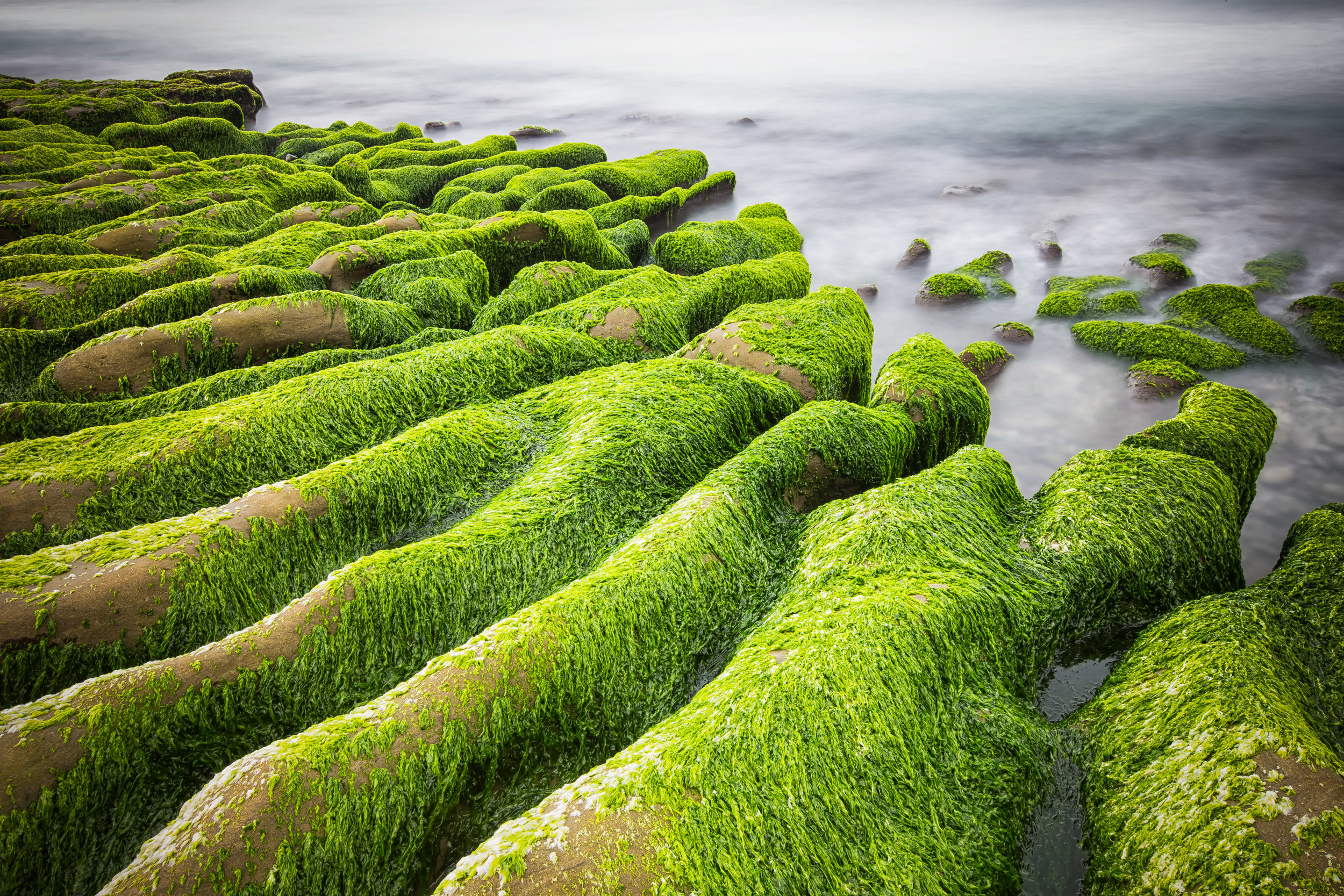
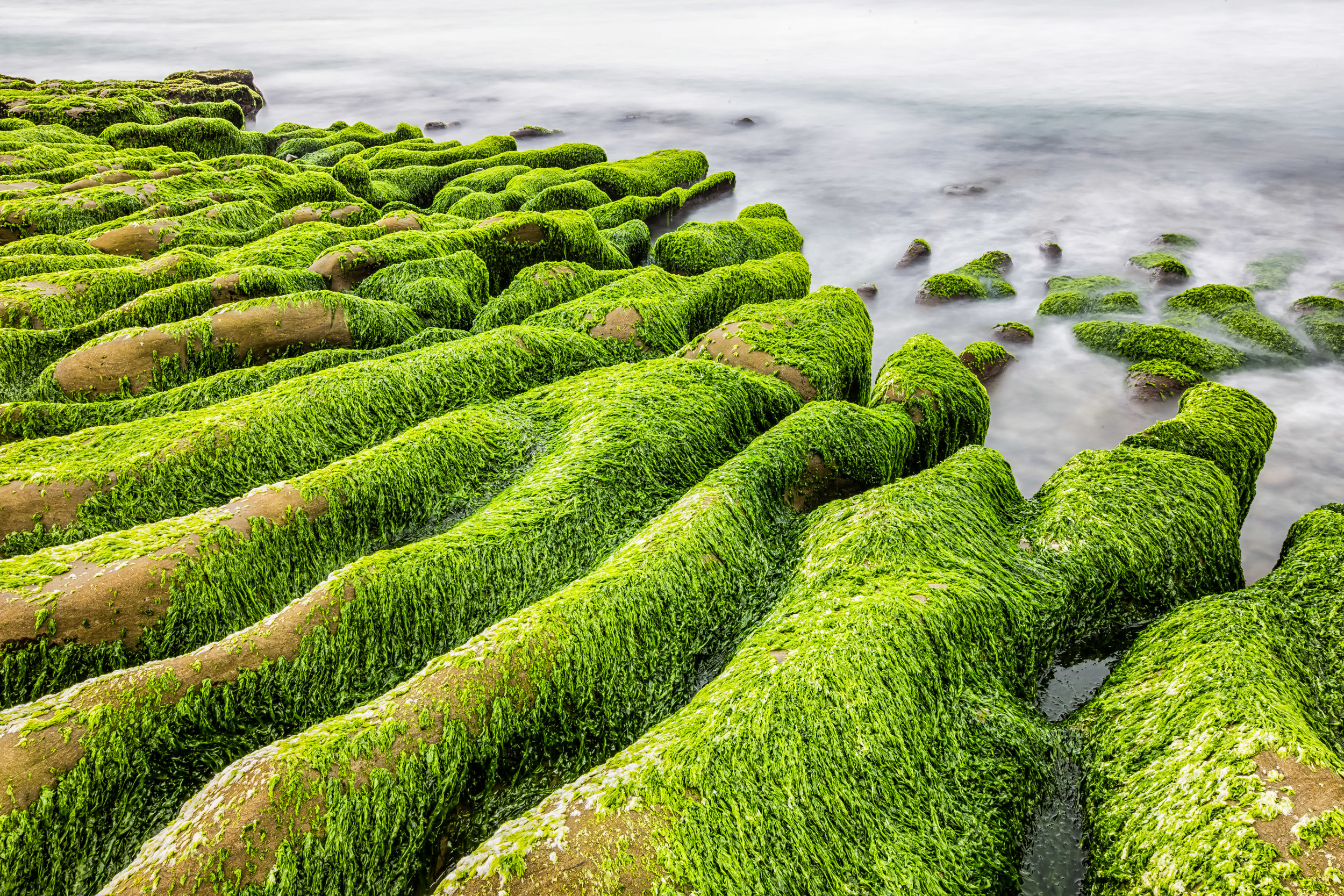
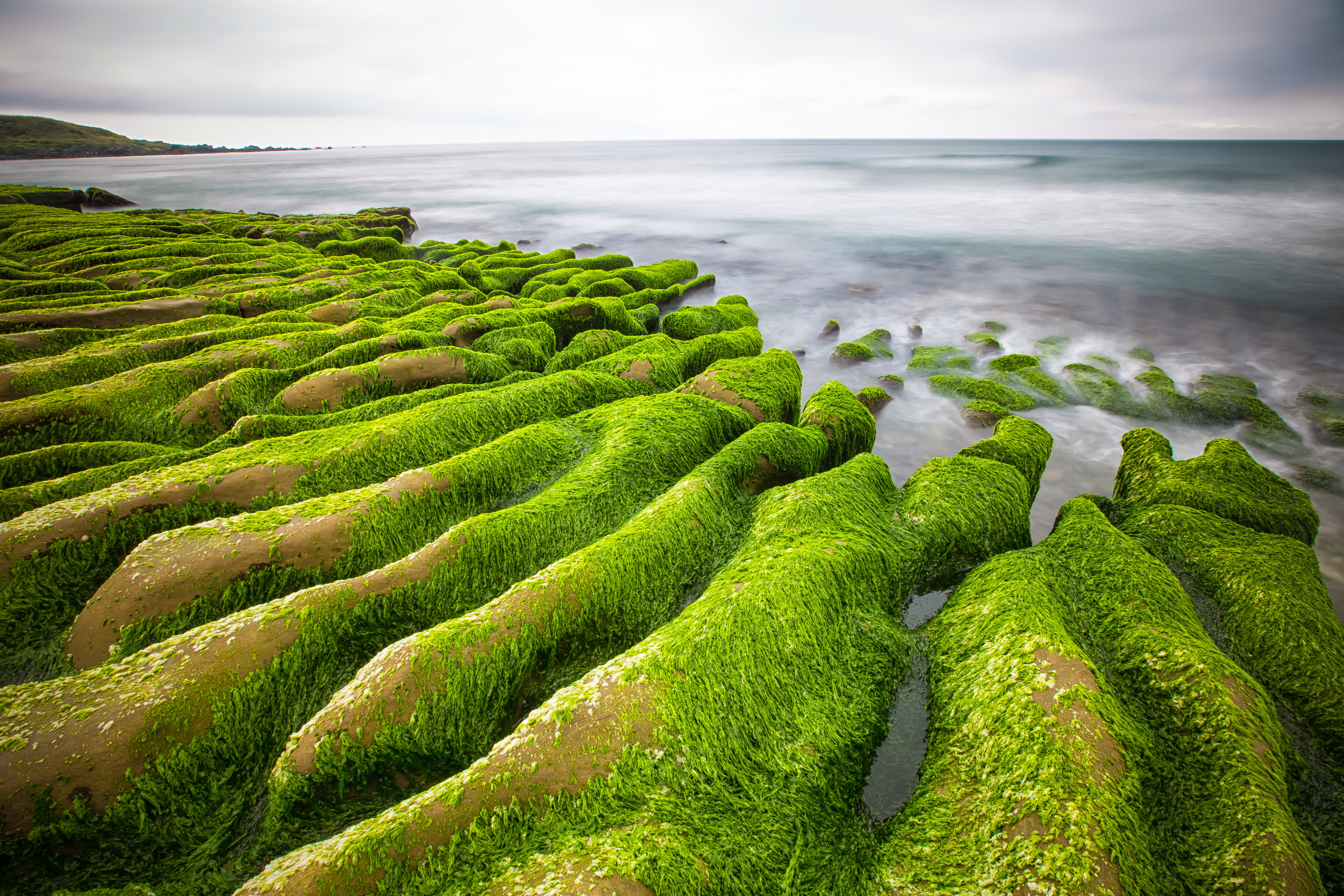
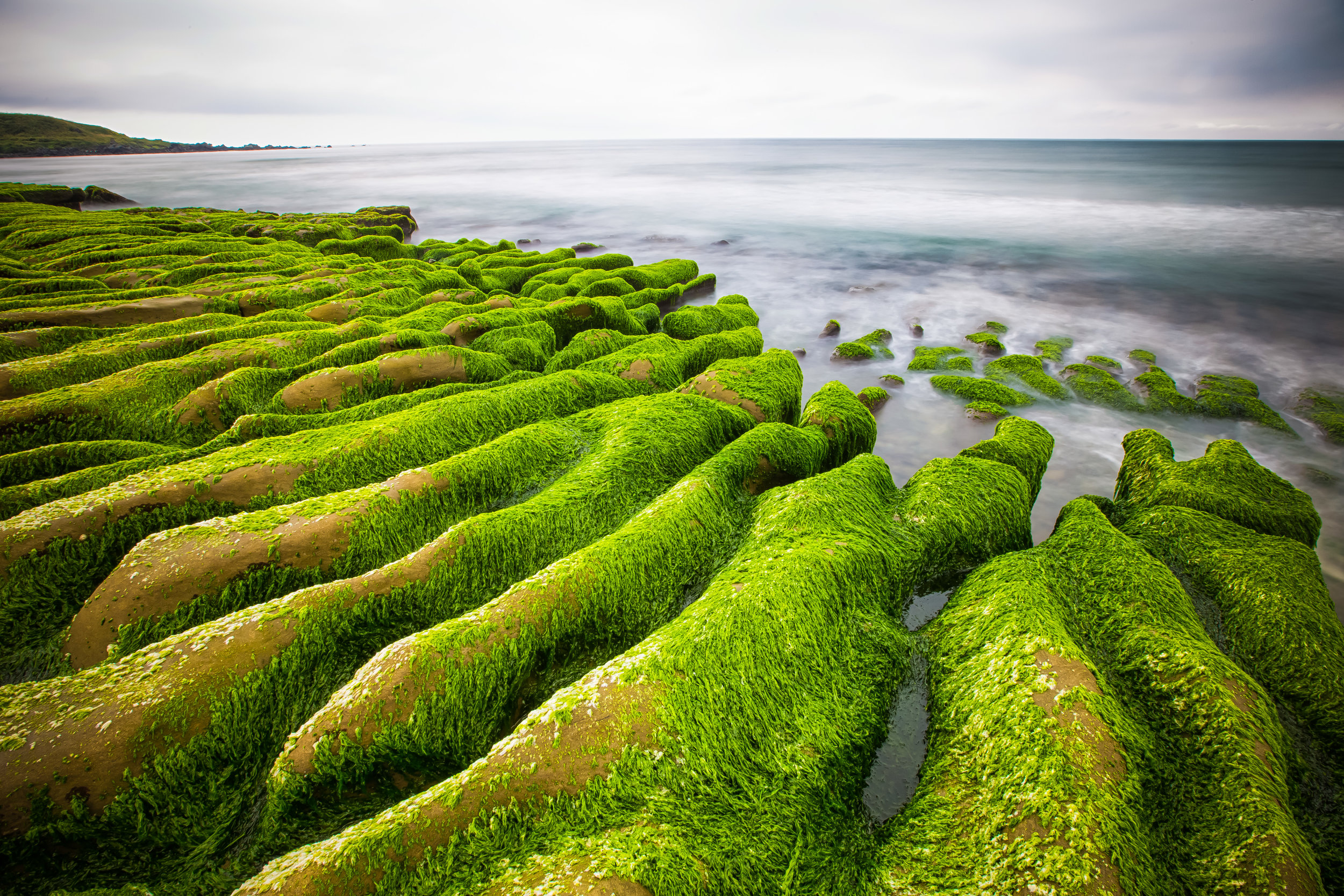
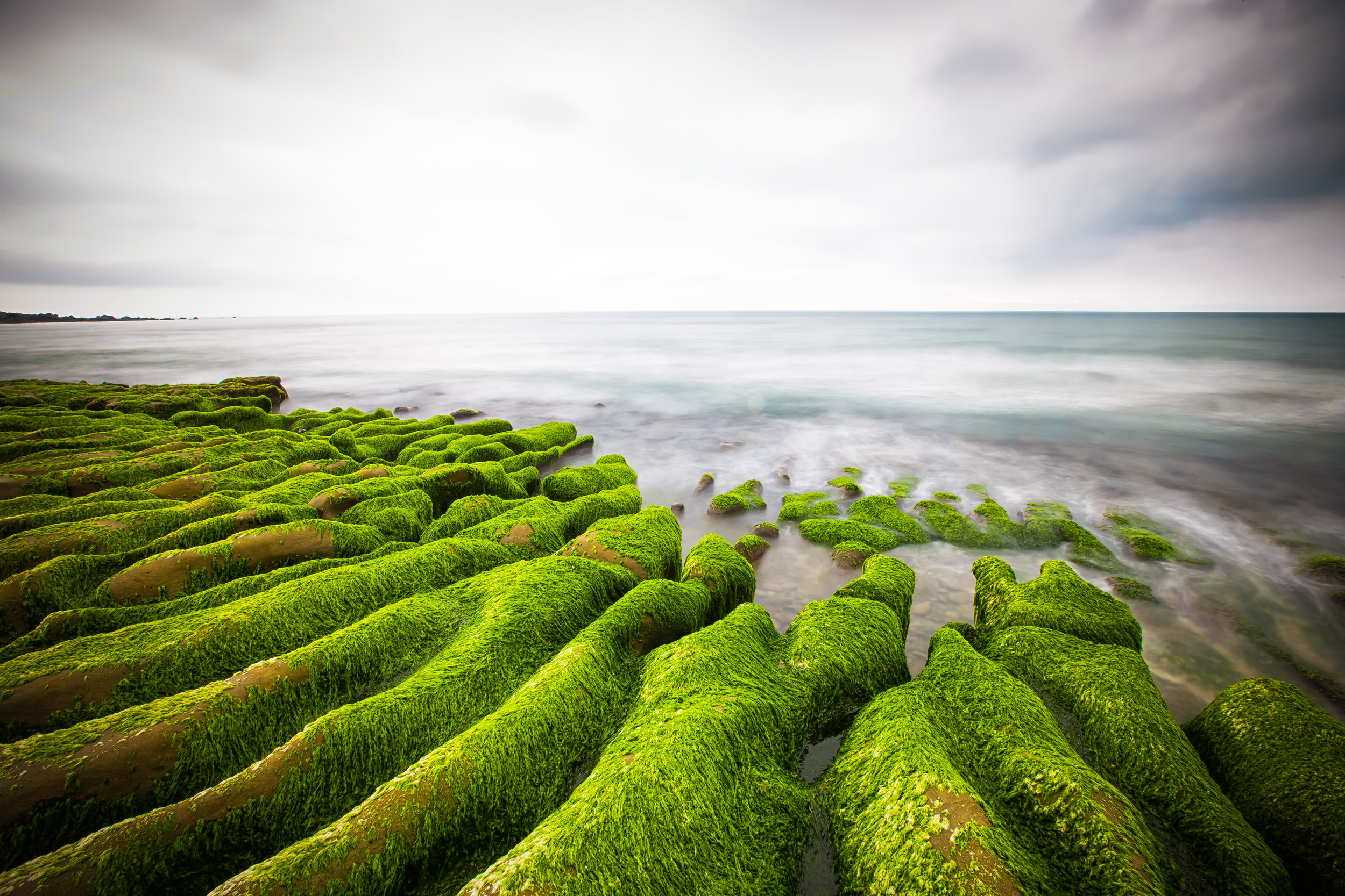
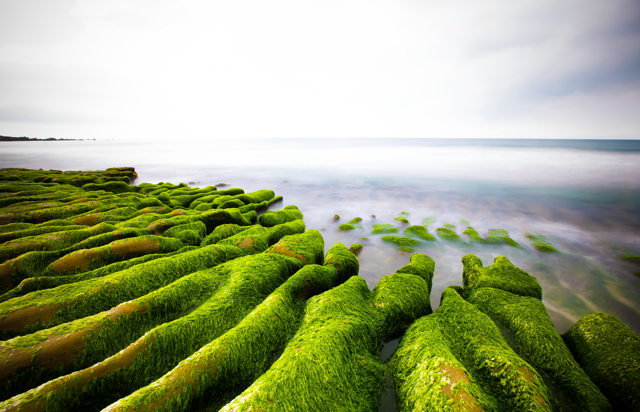
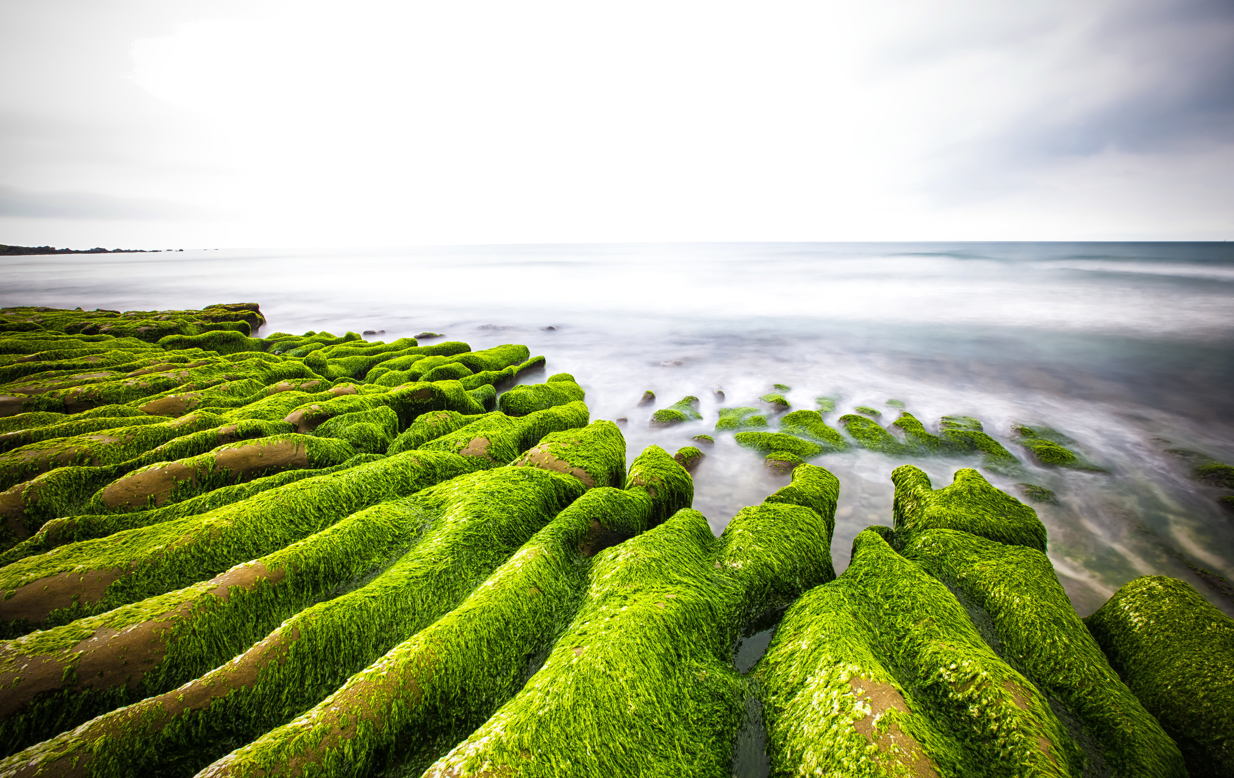
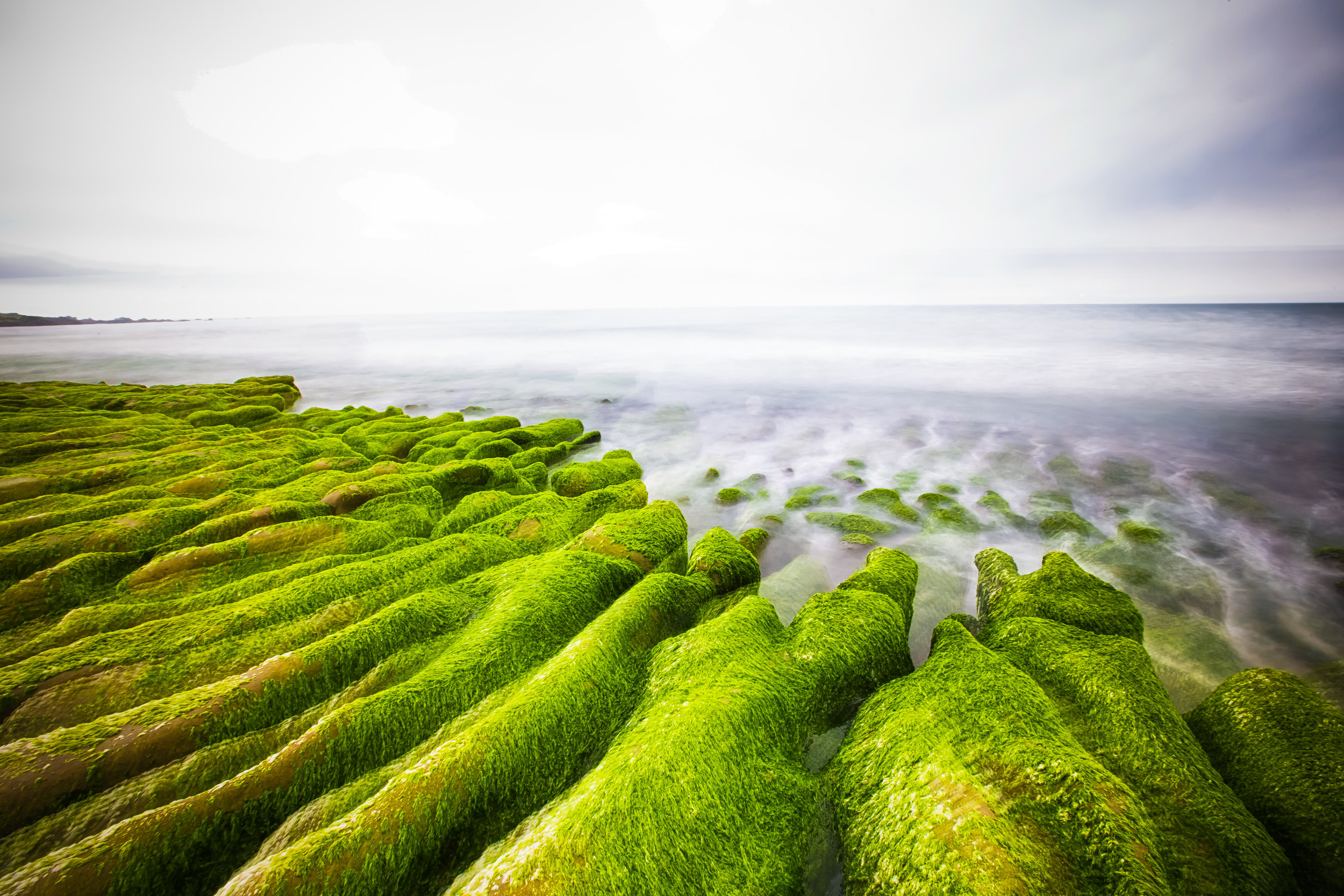
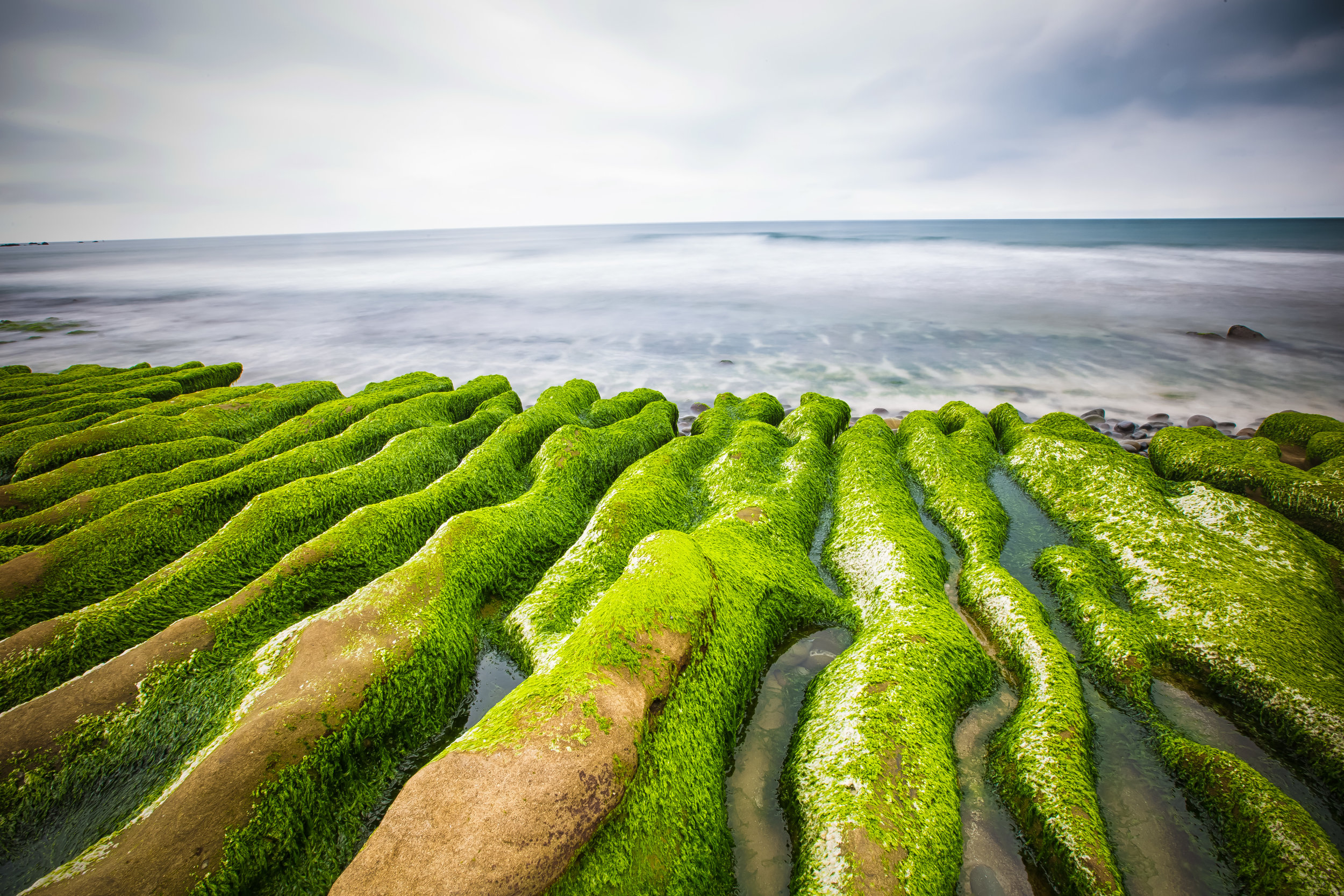
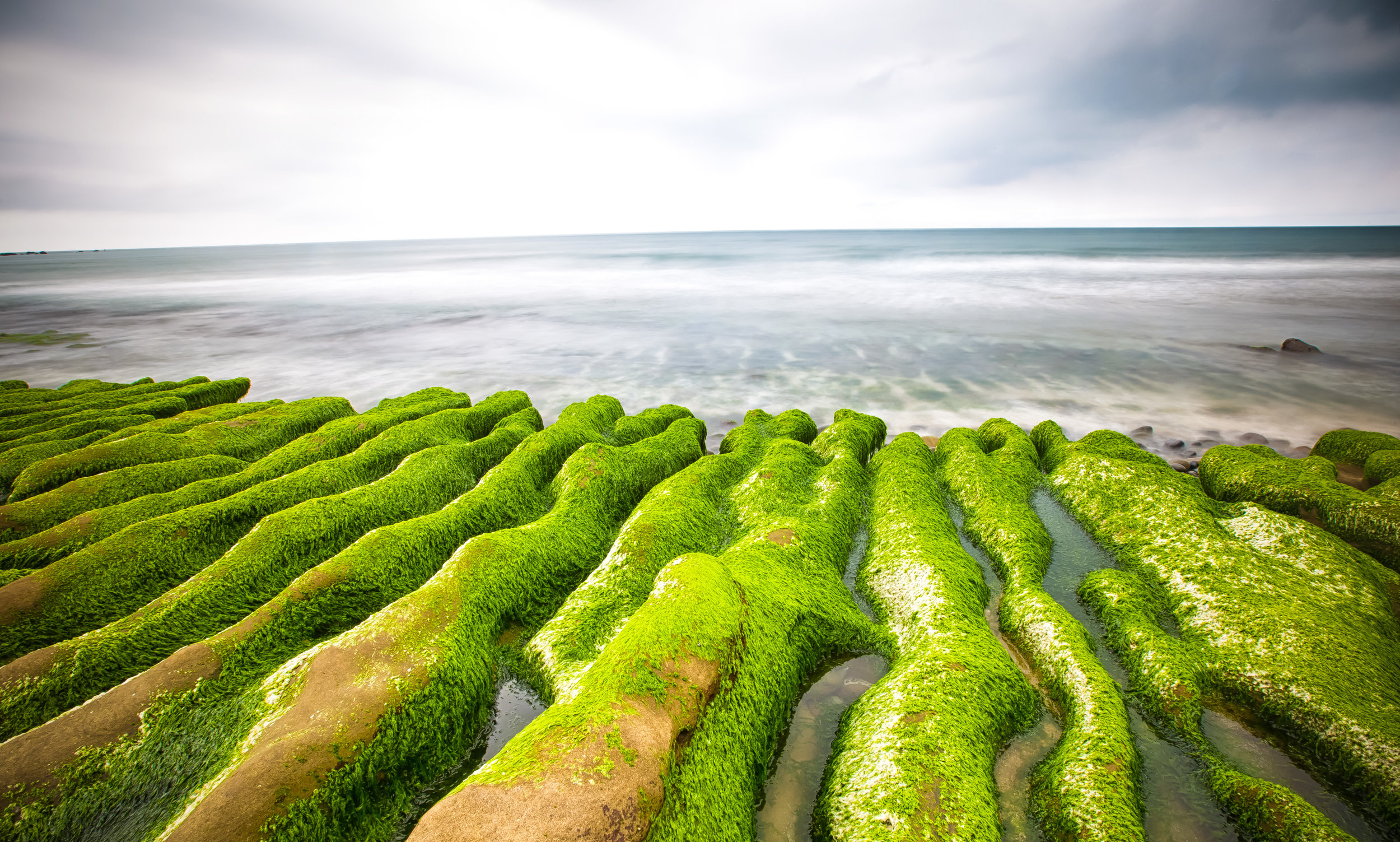
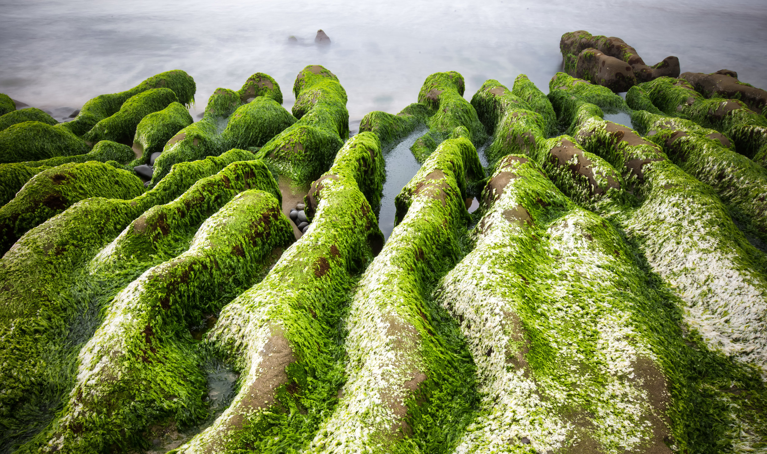
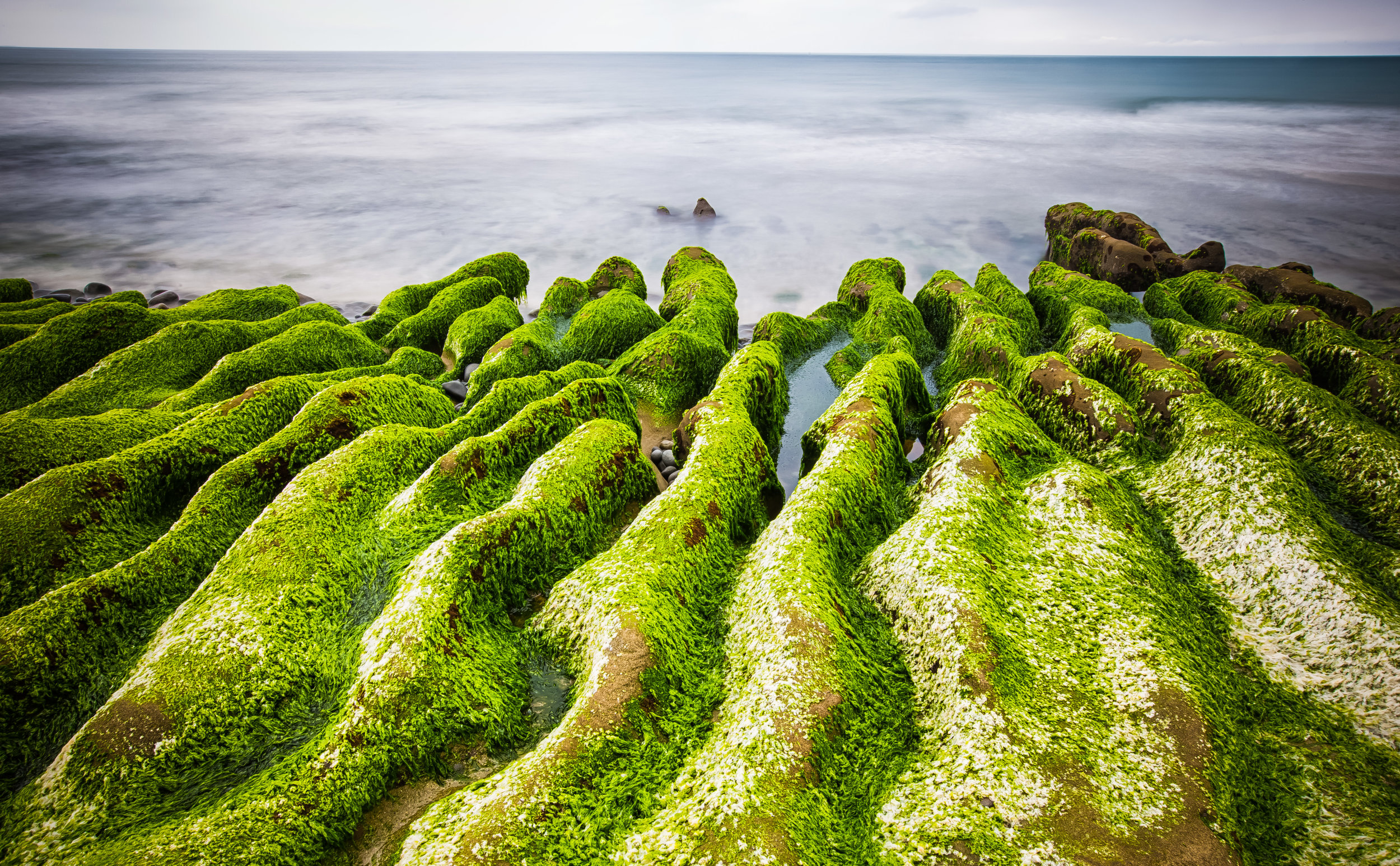
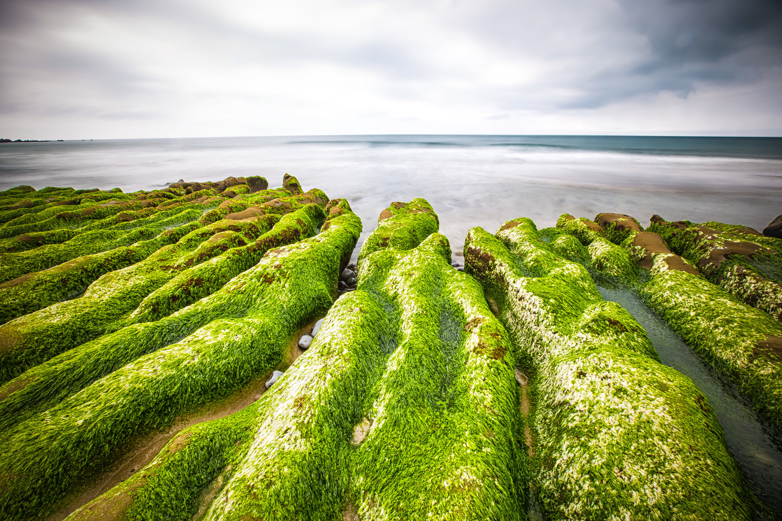
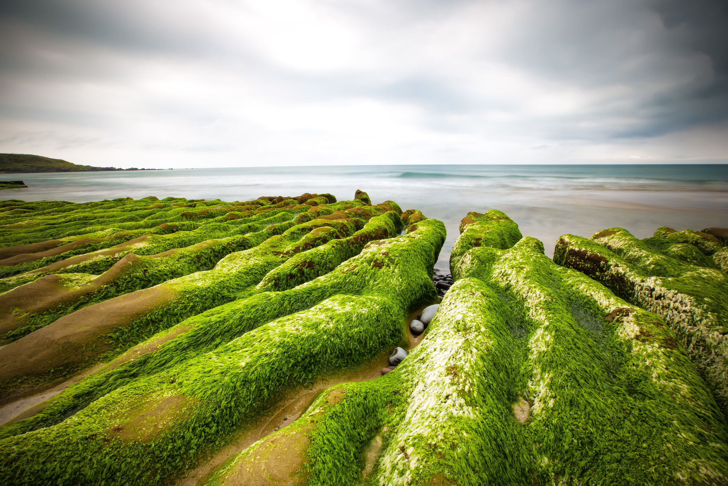
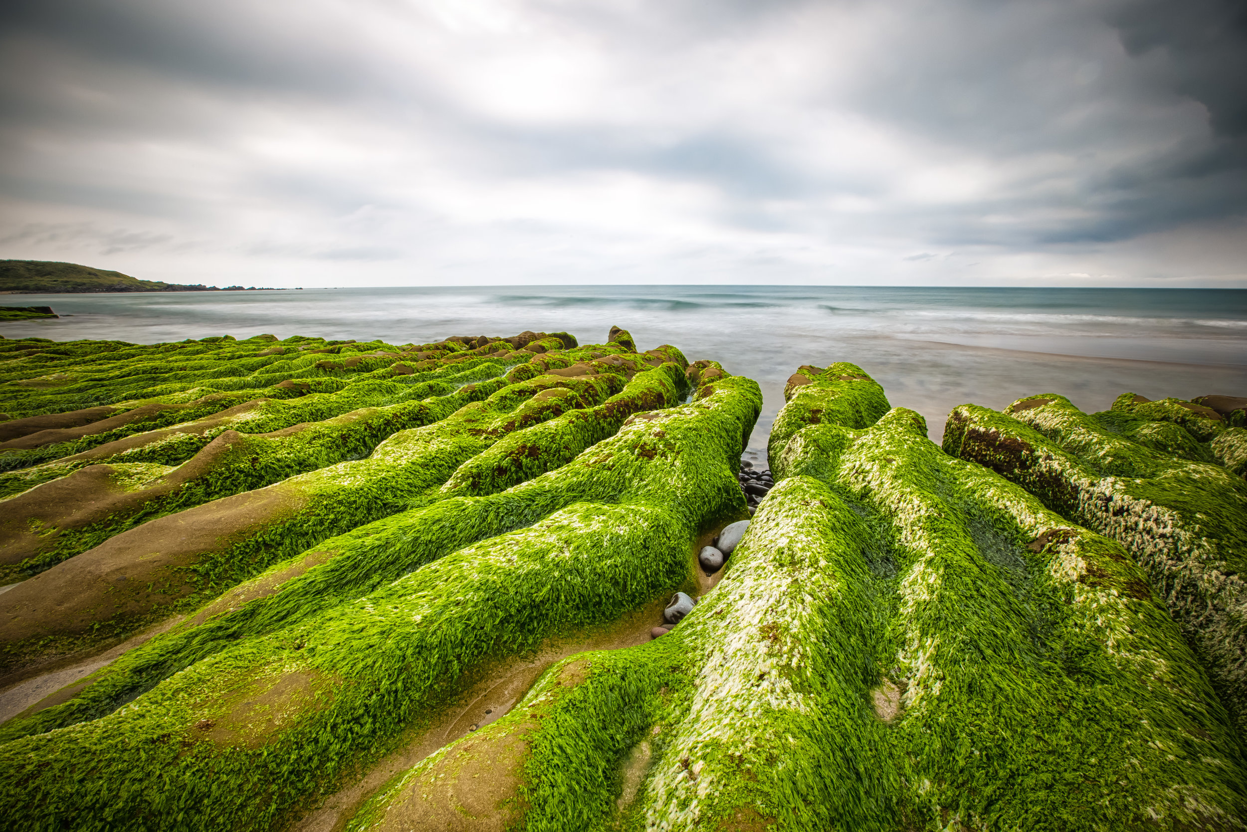
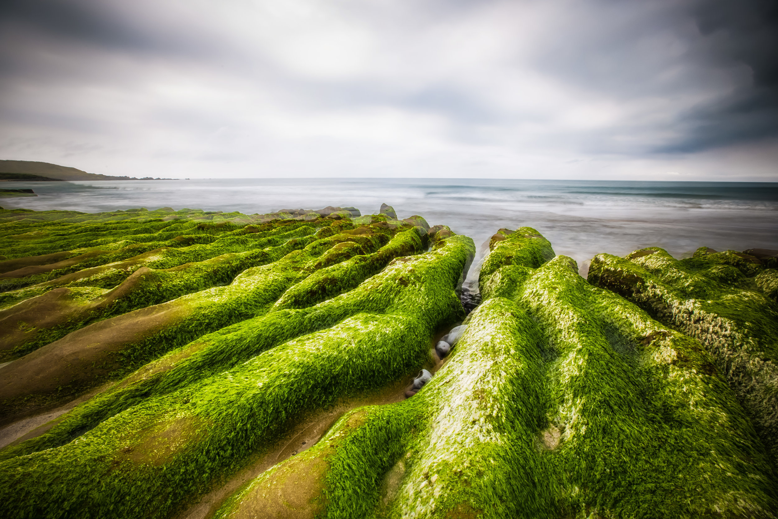
In recent years the the Laomei Green Reef has become a popular tourist attraction along Taiwan’s beautiful North Coast. The Green Reef is situated on a beach next to the Laomei community of New Taipei City’s Shimen District (石門區).

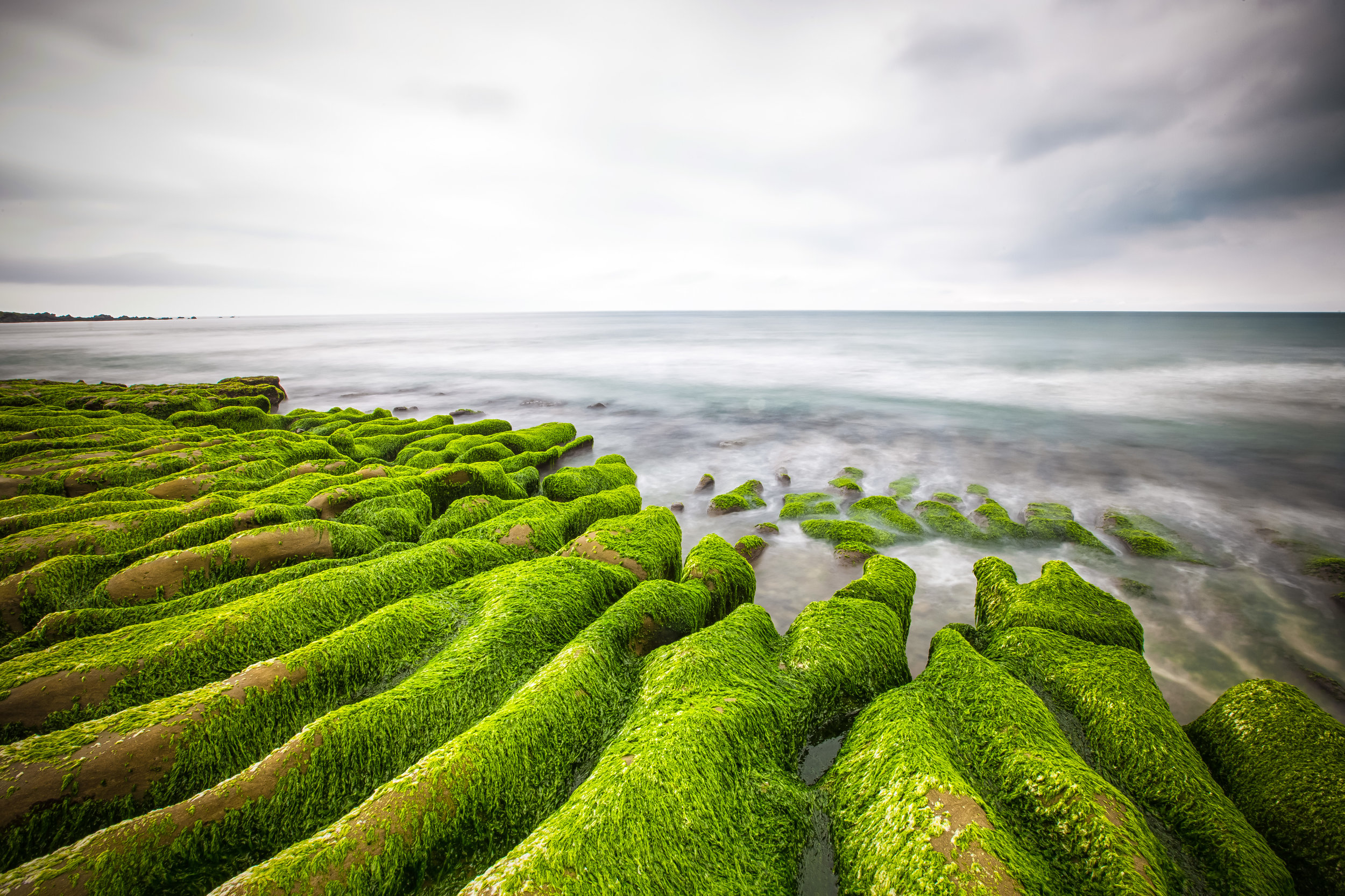
While photographers may have played a small part in making this unique spot a popular one with tourists, its origins date back at least two hundred thousand years ago when a volcano in the Datun Mountain range (大屯火山群) erupted. The lava that spewed out of the volcano helped to form Taiwan’s North Coast into the shape that we are familiar with today.

In addition to the 700 meter long reef formed by lava, centuries of sea erosion has helped to shape the rocks into strange-looking trenches where sea water easily goes in and out with the tide.

In the early months of summer, (more specifically April and May) when the weather starts to warm up, algae from the ocean comes in with the tide and makes its home on the reef. This creates a vibrant shade of green on the rocks and is the reason why large crowds of people flock to see it. 

The area is especially popular at dawn and dusk with groups of photographers who want to catch some beautiful light reflecting in the water with the vibrant green of the created by the algae.

Unfortunately the amount of time that we’re able to enjoy the “Green Reef” each year depends on the weather and the tides. If April and May are hot (like they have been this year), the algae tends to die off quickly returning the rocks to their natural colour.

This means that the period of time people are able to enjoy the Green Reef is short and can be likened to that of the blossoming season of some of Taiwan’s flowers. If you want to visit Laomei when the reef is Green you’re going to need to pay close attention and make sure you’re free in April or May to pay a visit.

While the natural lifespan of the Green Reef depends on the weather, there are also external factors that contribute to the “green” parts of the reef dying off earlier than usual.

You will notice signs on the beach in both Chinese and English that urge tourists not to walk on the reef - The signs have not only been put up for the safety of tourists, but for the protection of the reef.

The popularity of the reef in recent years has caused a bit of an issue with disrespectful tourists and photographers tramping all over the green parts of the reef killing the vegetation.

Don’t be an ass. You can easily enjoy the natural beauty of the reef without walking all over it.

One of the best ways to know when the reef has turned green is to look at “Recent Photos” for the geo-location “Laomei Green Reef” or “老梅綠石槽” on Instagram which will give you a pretty good idea of the recent conditions at the reef.

There is a lot to do on the North Coast, so if you are lucky enough to visit Laomei when the reef has turned green, you will also be able to visit many of the other tourist stops along the way as well as being able to stop by one of the fishery harbours for a feast of fresh cheap seafood!


Getting There


If you don’t have your own method of transportation, you’ll want to go to make your way to the Tamsui MRT Station (淡水捷運站) and then take bus #862, #863 or #892 and get off at the Laomei stop (老梅站