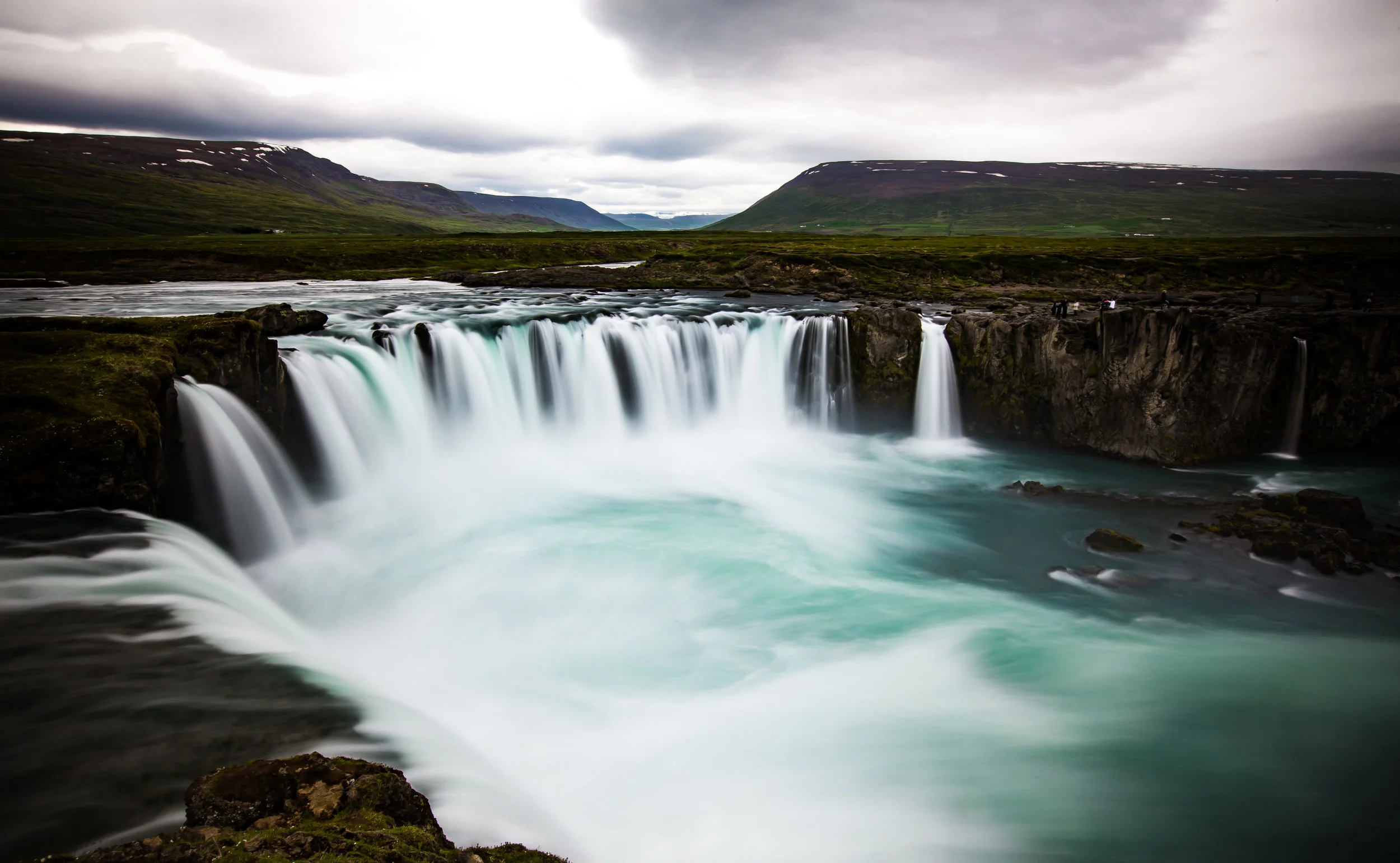
Mountains

Wu Liao Jian (五寮尖)

Wuliaojian is a hardcore, awesome, epic (insert a bunch of other cool adjectives) day-hike in the Sanxia district (三峽區) of New Taipei City.

This hike isn't for the faint of heart, so if you plan on taking this one on, be sure that you're prepared for a full body workout, some ropes and climbing. This hike isn't your ordinary hike and if you are afraid of heights or scaling yourself down a rock face, you may want to reconsider going! 

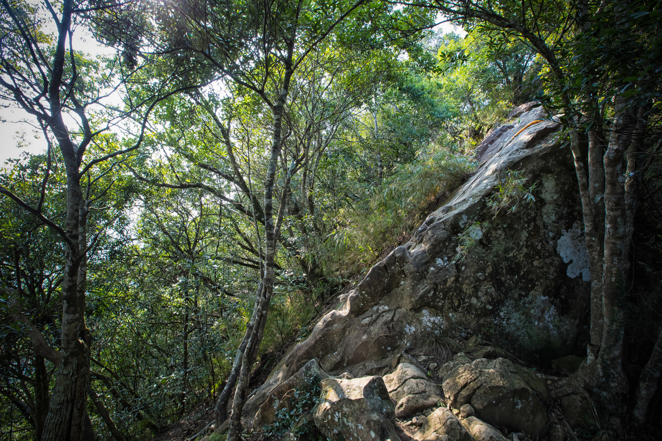
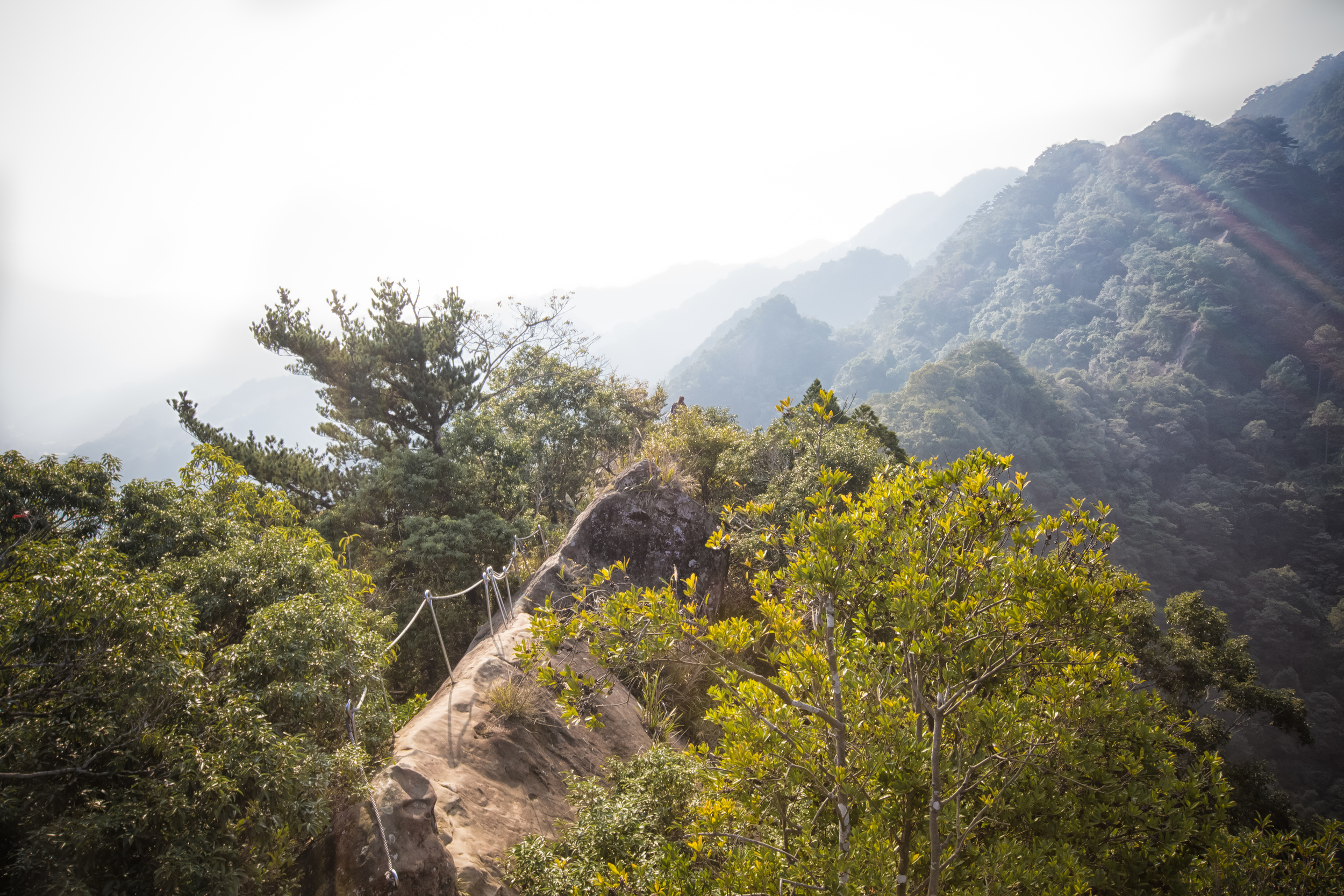
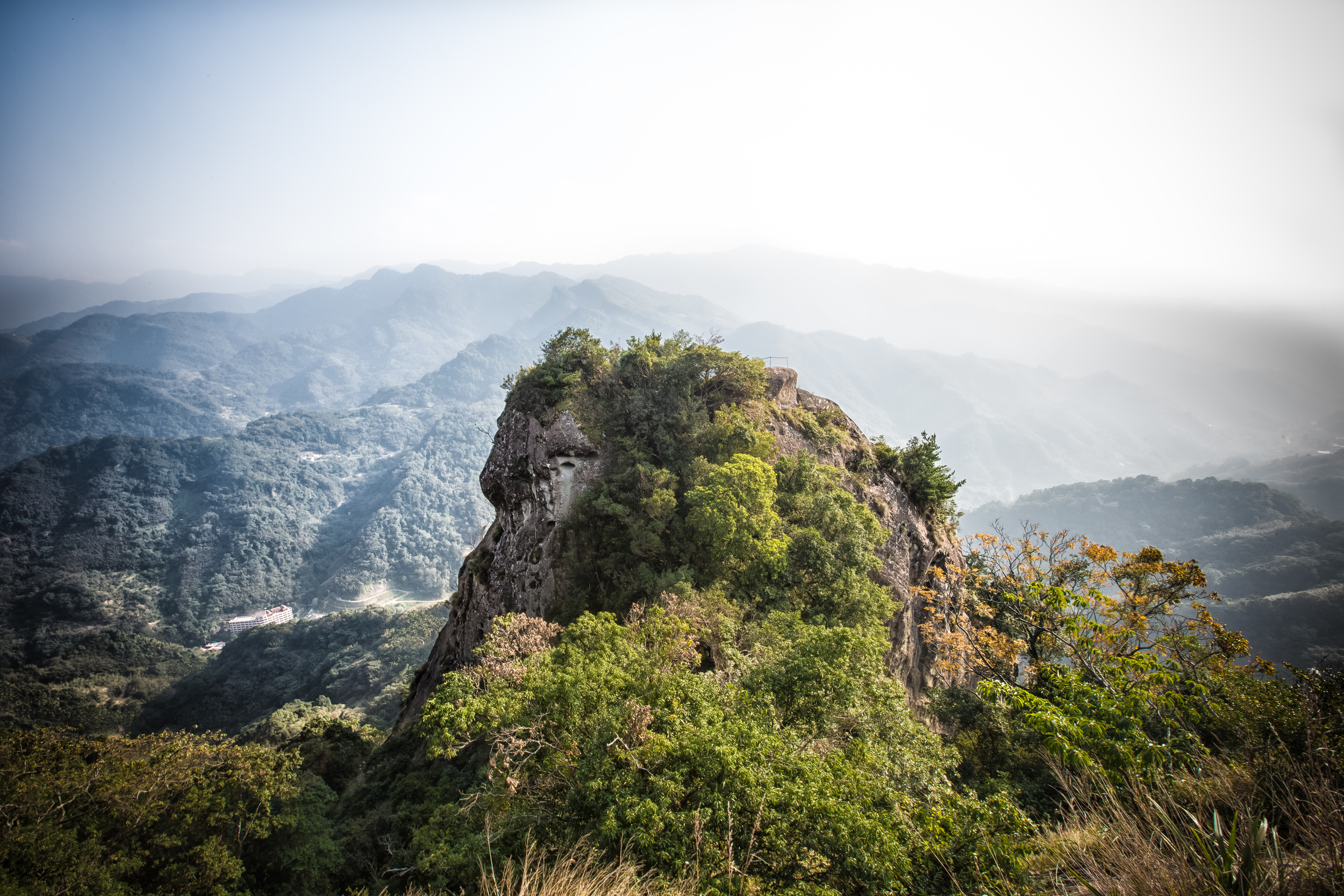
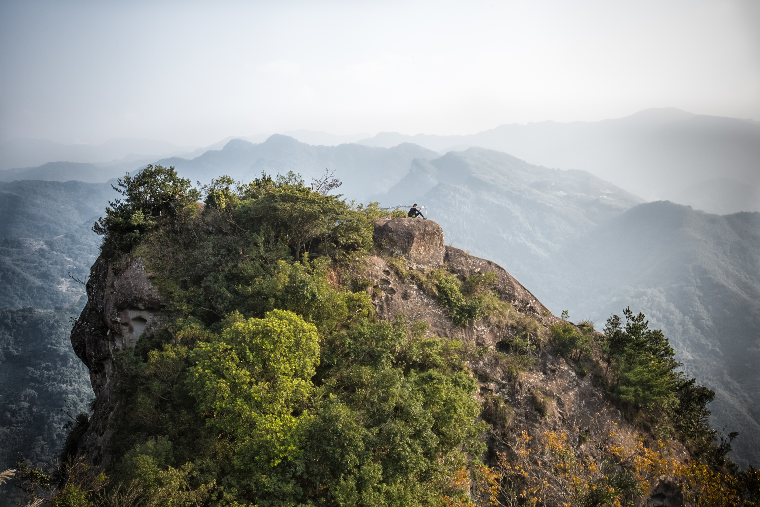
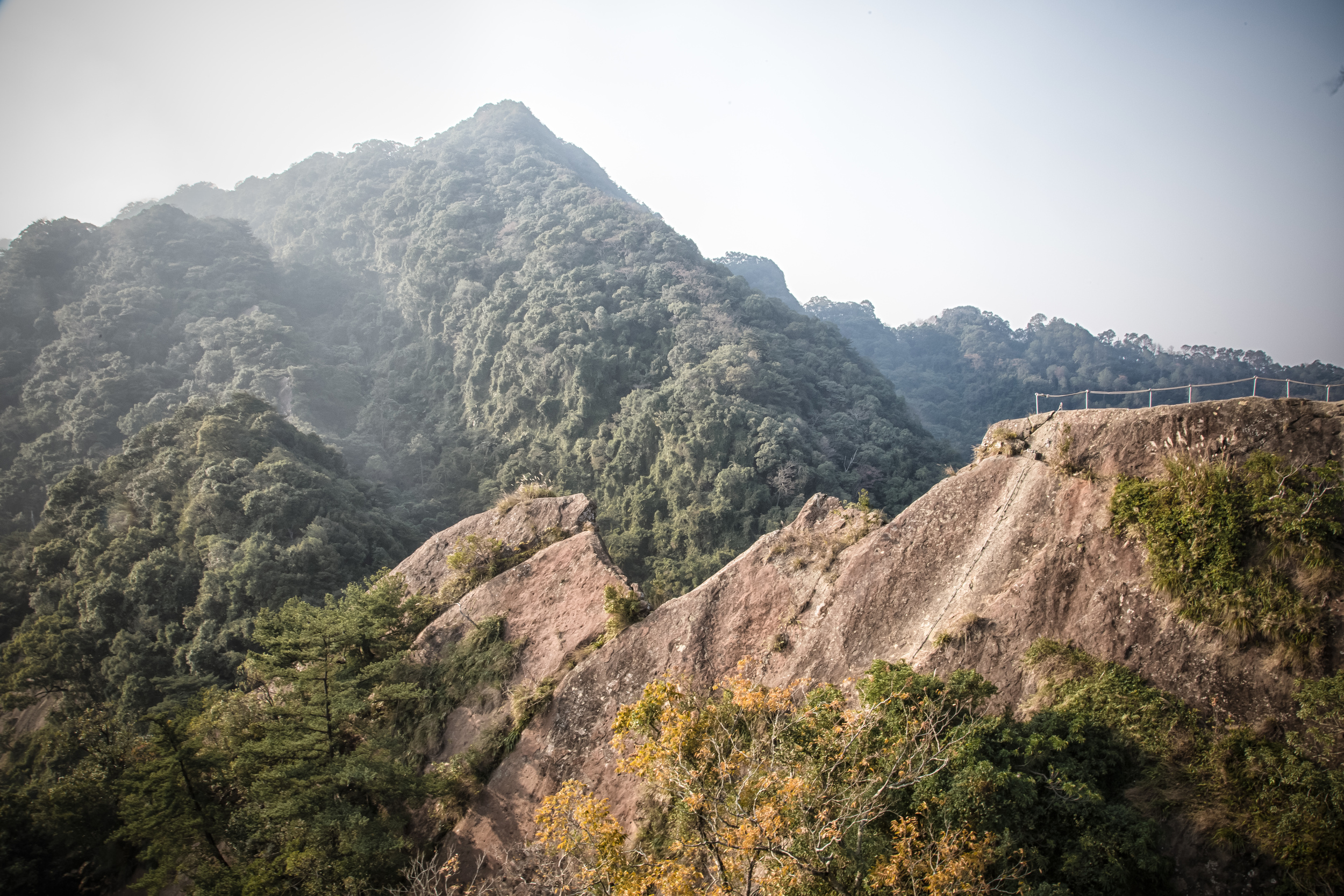
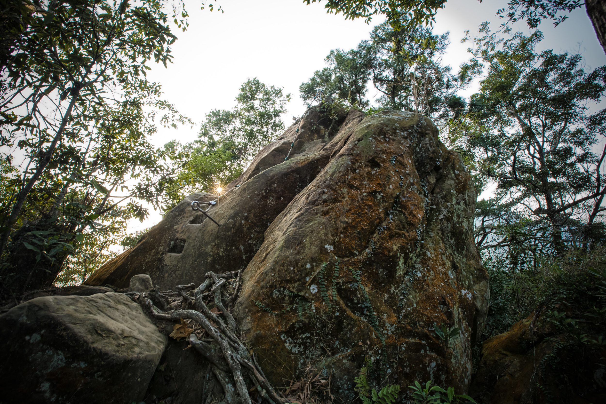
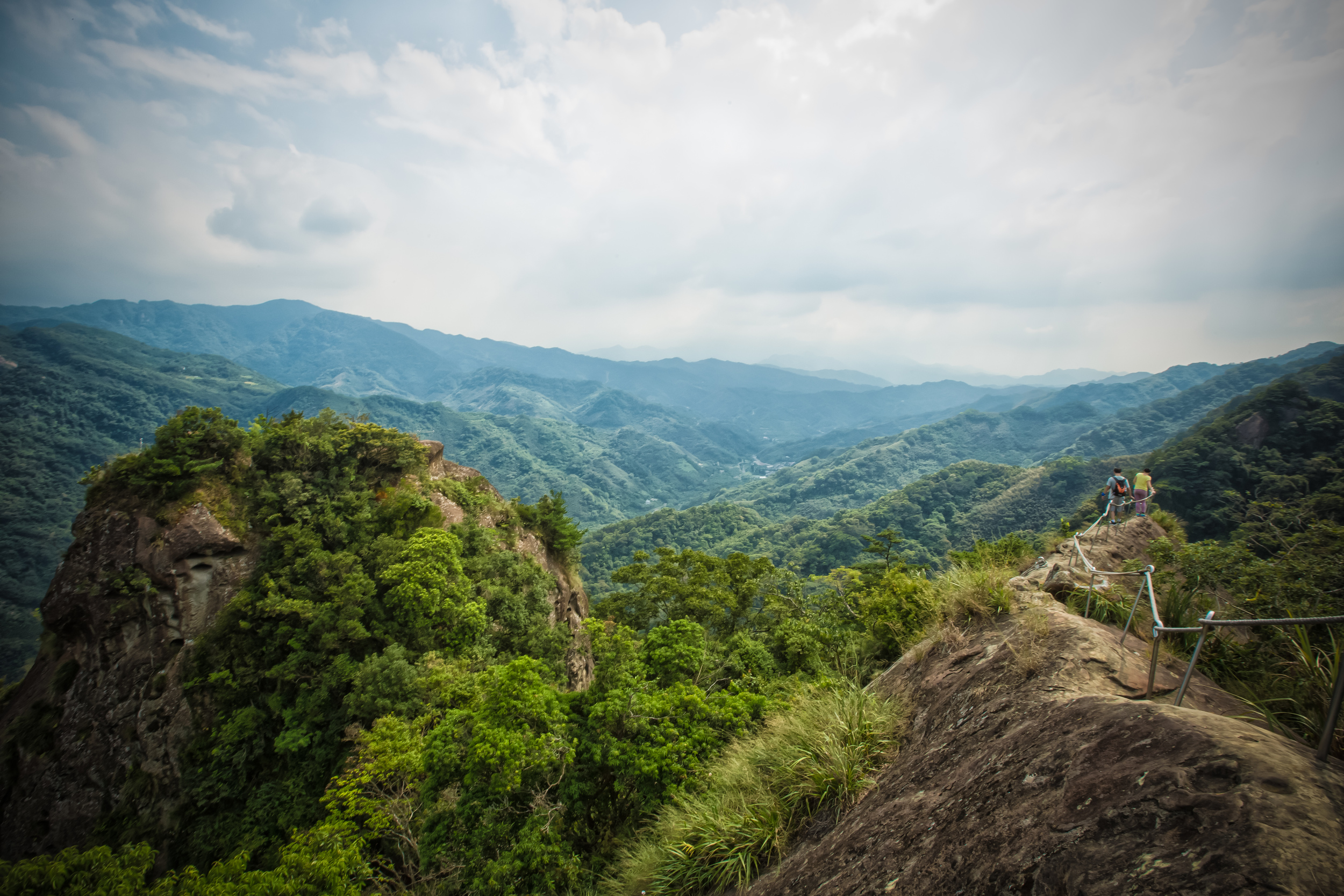
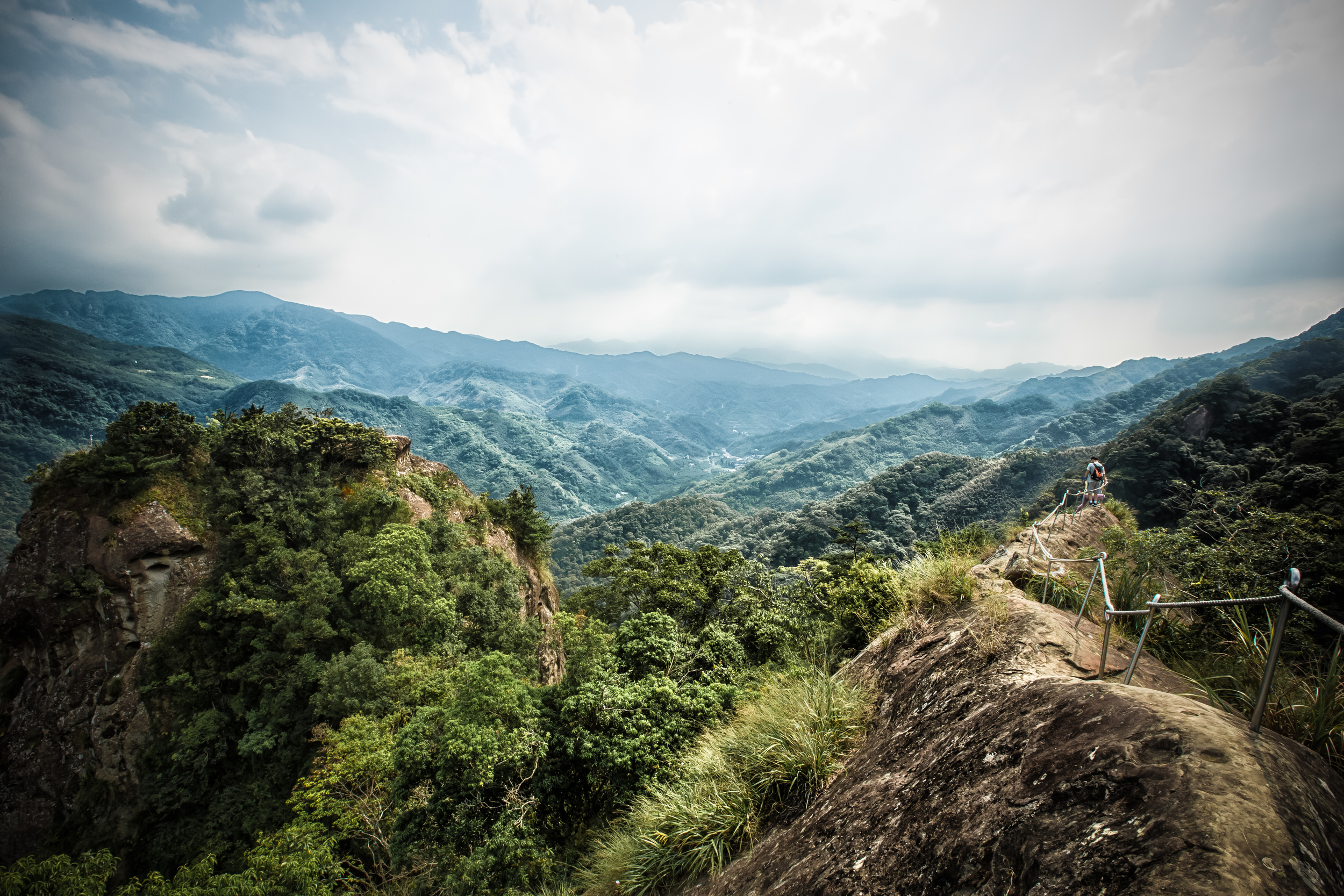
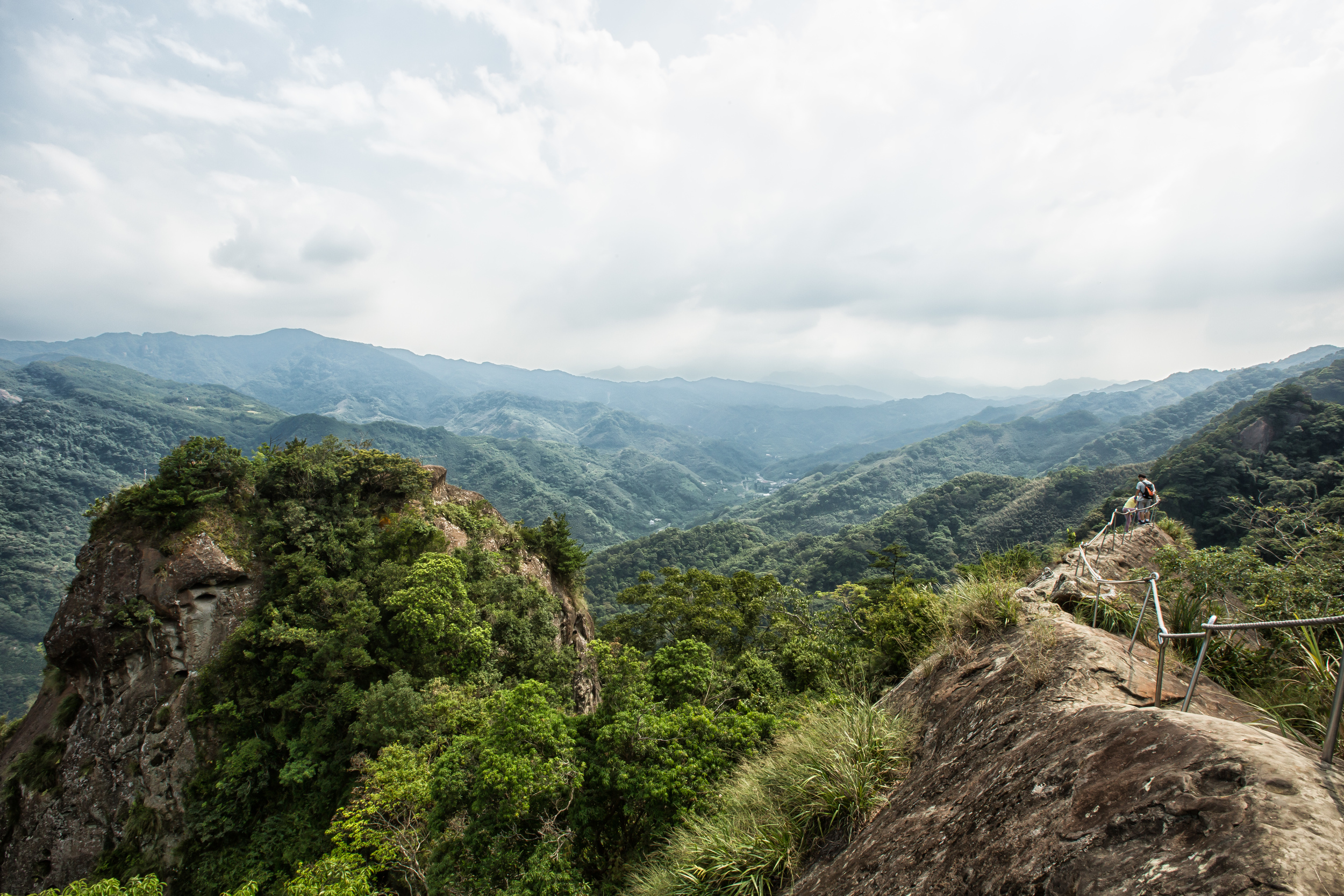
Crag next to the ridge. 

If you try it, try your best. Be sure to push yourself. Challenge yourself to finish the hike no matter how tired you are or how much pain you are suffering from.

I guarantee when you finish you will feel absolutely amazing. 

Especially after the full body massage that you'll likely need to have when you're done! 

You might notice I'm being a bit facetious. I've done this hike a few times already and I absolutely love it. What I don't love is seeing a loving couple in the middle of the path loudly ending their relationship because of this hike. It's not an easy one, so don't go into it casually thinking you'll be done in an hour or so. 

If you do feel up to it, have fun, and most importantly, be safe while doing it. 


The trail starts beside the Yu-Li convenience store (玉里商店) on the the Taiwan provincial highway 7 (台7線) that takes you from Sanxia to Man Yue Yuan (滿月圓森林遊樂區.)

There are buses that will take you to the trailhead from Sanxia, but they are infrequent and if you are relying on public transportation, it's best to take a taxi from Sanxia and get the drivers phone number so that he or she can pick you up when you're done.

You don't want to get stuck at the bottom of the trail waiting an hour or more for a bus. You'll be sweaty and cold. Its a good recipe for catching a cold in Taiwan due to the humidity here. 

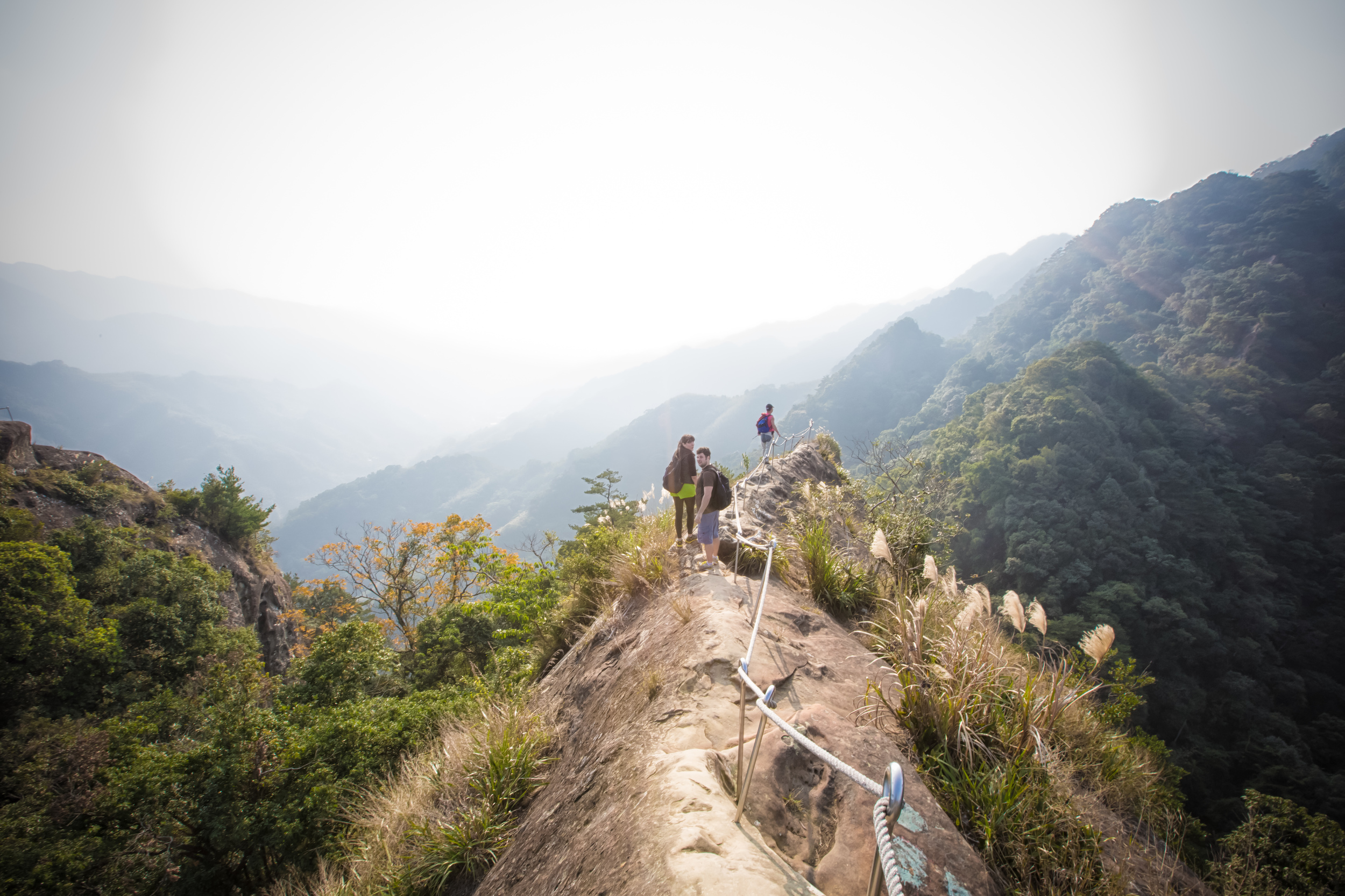
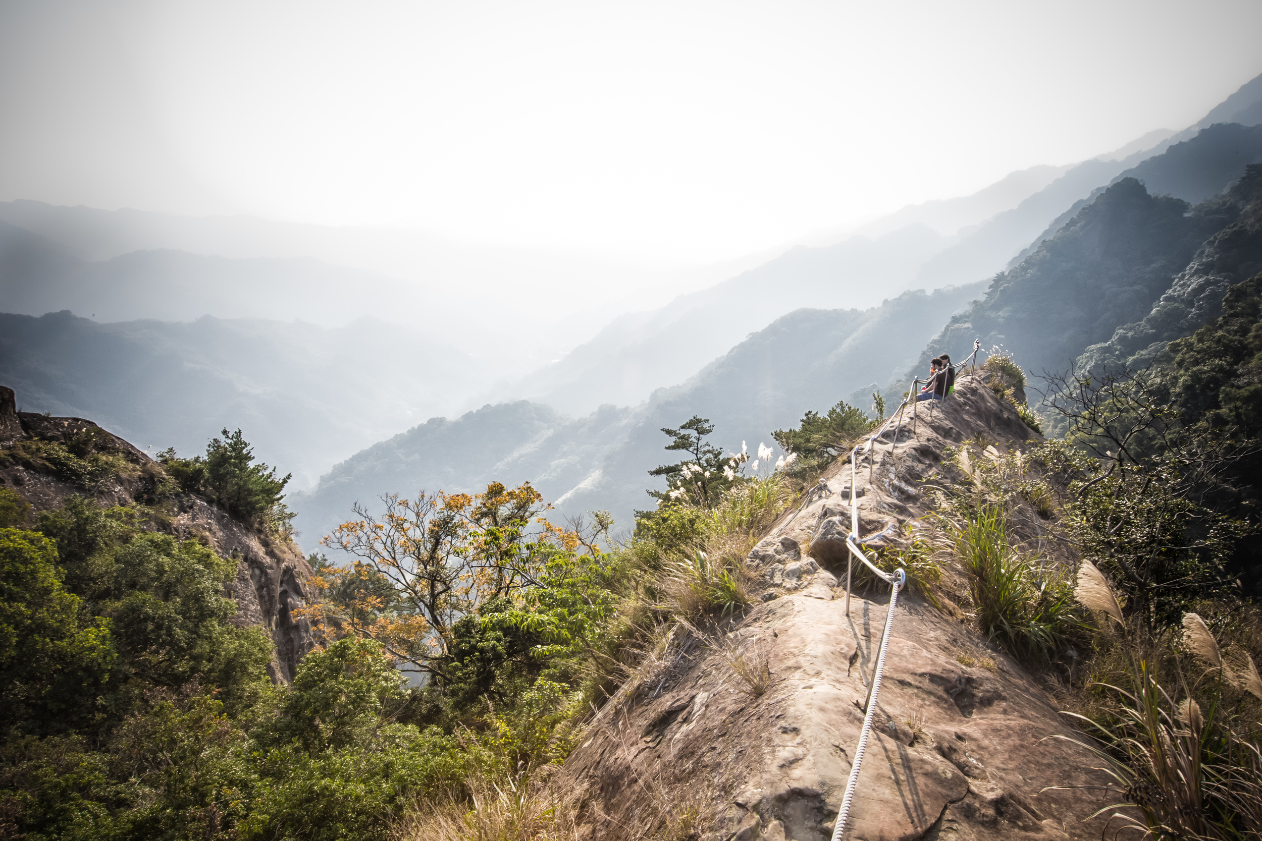
The star attraction of the hike

When you arrive at the trailhead be sure that you have enough water. I would recommend at least 1000cc or more per person just to be safe. You can buy water, chocolate and other snacks in the store beside the trailhead. There tend to be a lot of mosquitos in certain areas of this hike. A Taiwanese hiker on the trail told me that if you buy a can of beer and split it with a friend before you start the hike, mosquitos won't bother you. I guess mosquitos don't like beer-smelling sweat. I'm not sure if its an old-wives tale or not, but he didn't seem to be being bothered by mosquitos while we were swatting at them. 

Before starting the hike make sure to buy a pair of gloves in the store for 10NT. Your hands will thank you for it when you finish as there are a lot of ropes to navigate and pull yourself up. Rope burn on your palms isn't the most comfortable problem to have, especially when the hike is already hard enough on your body.

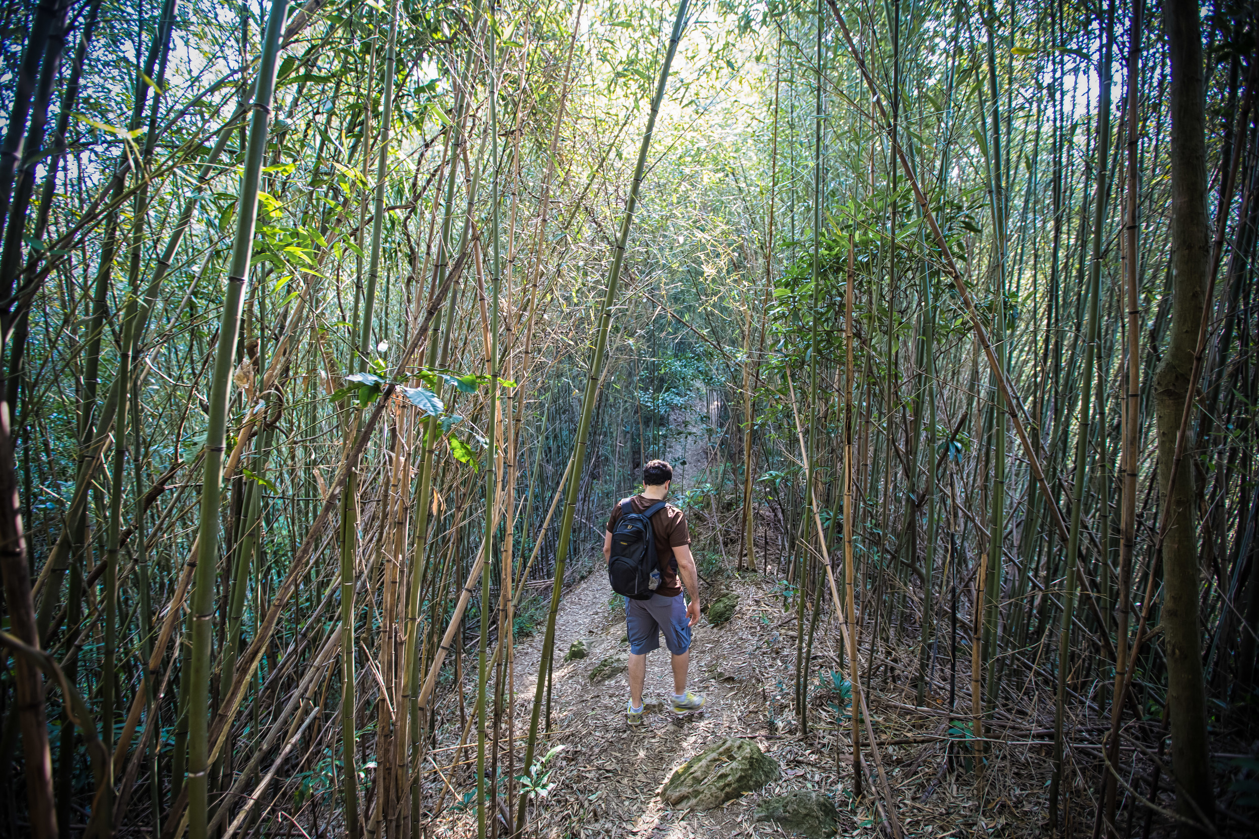
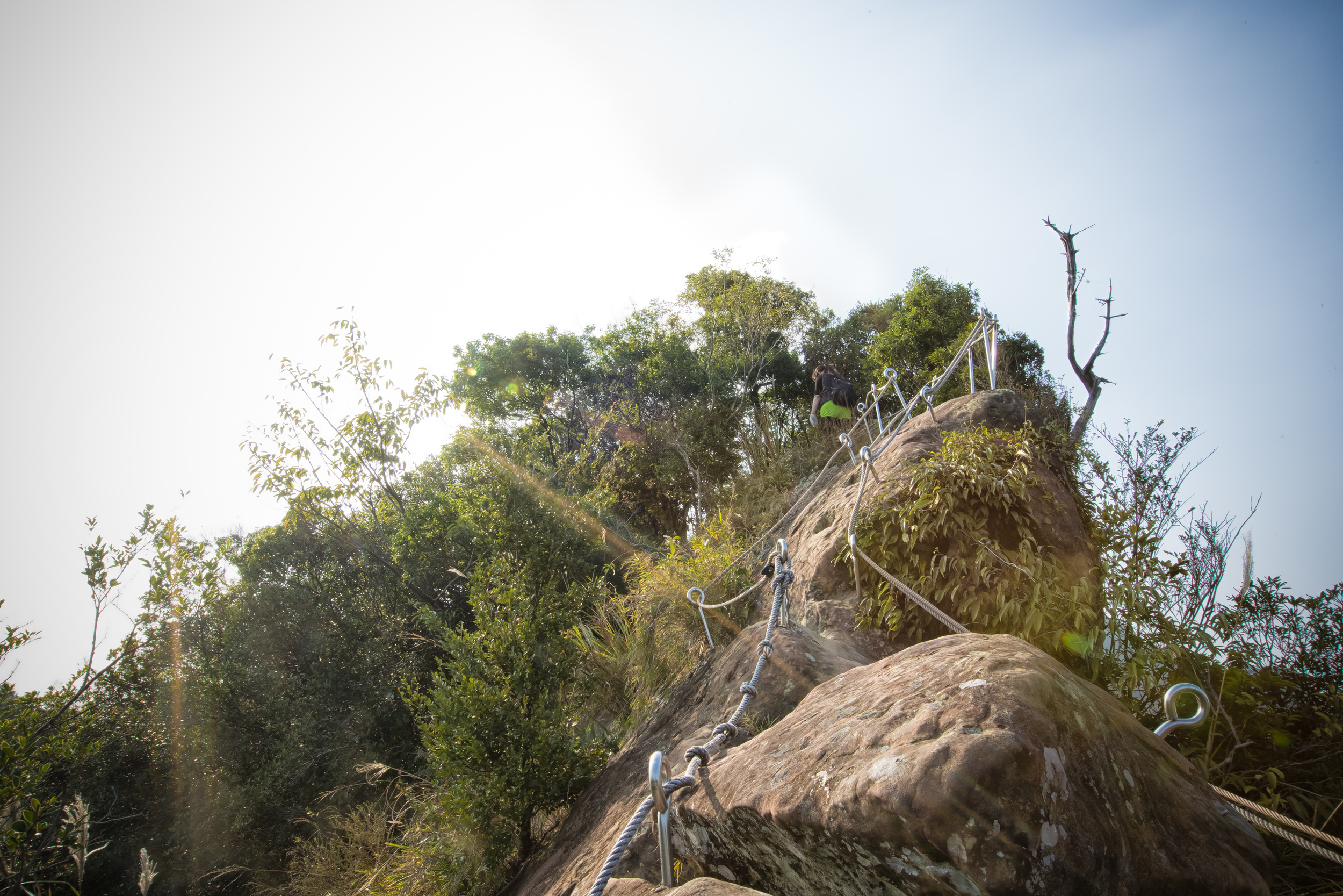
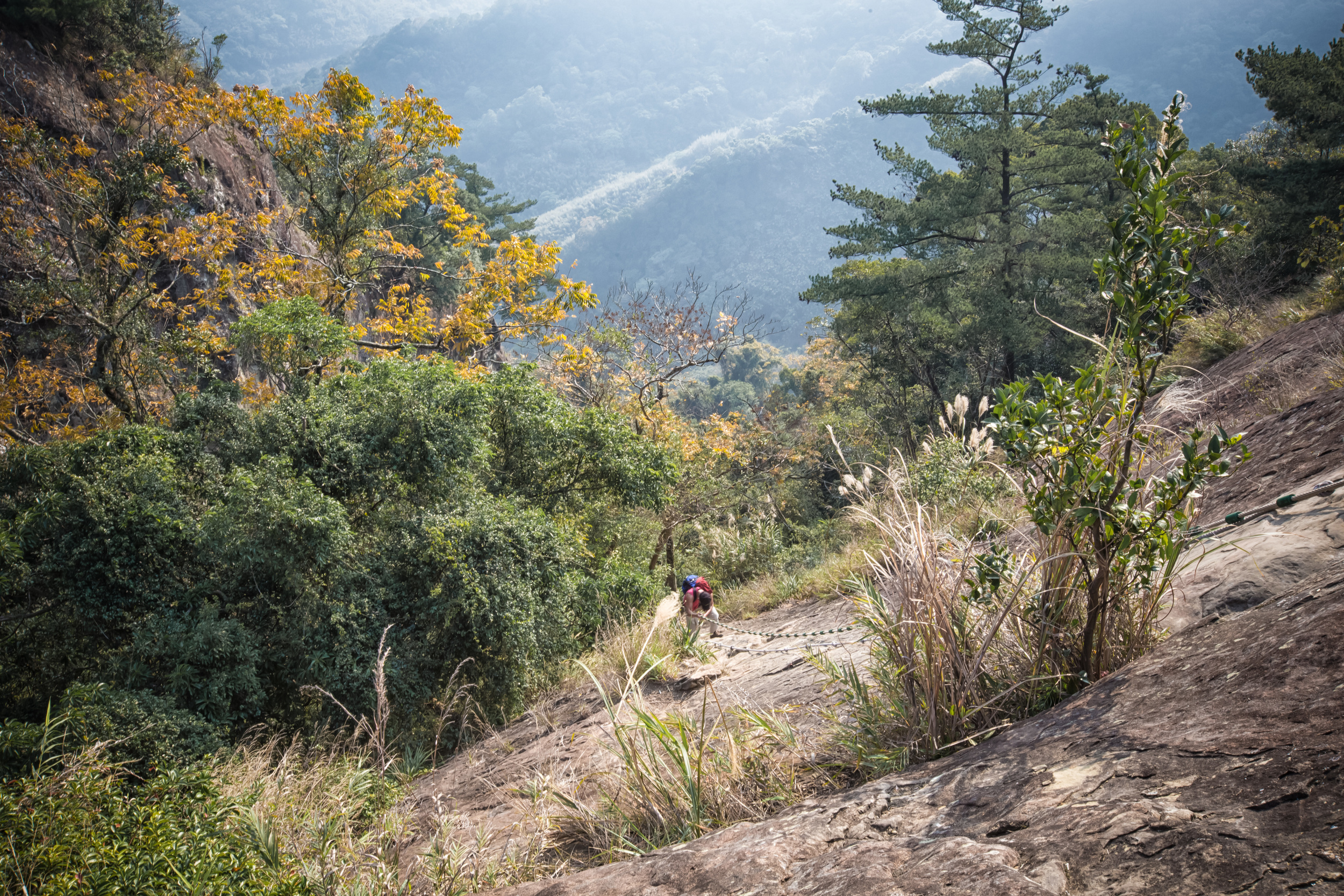
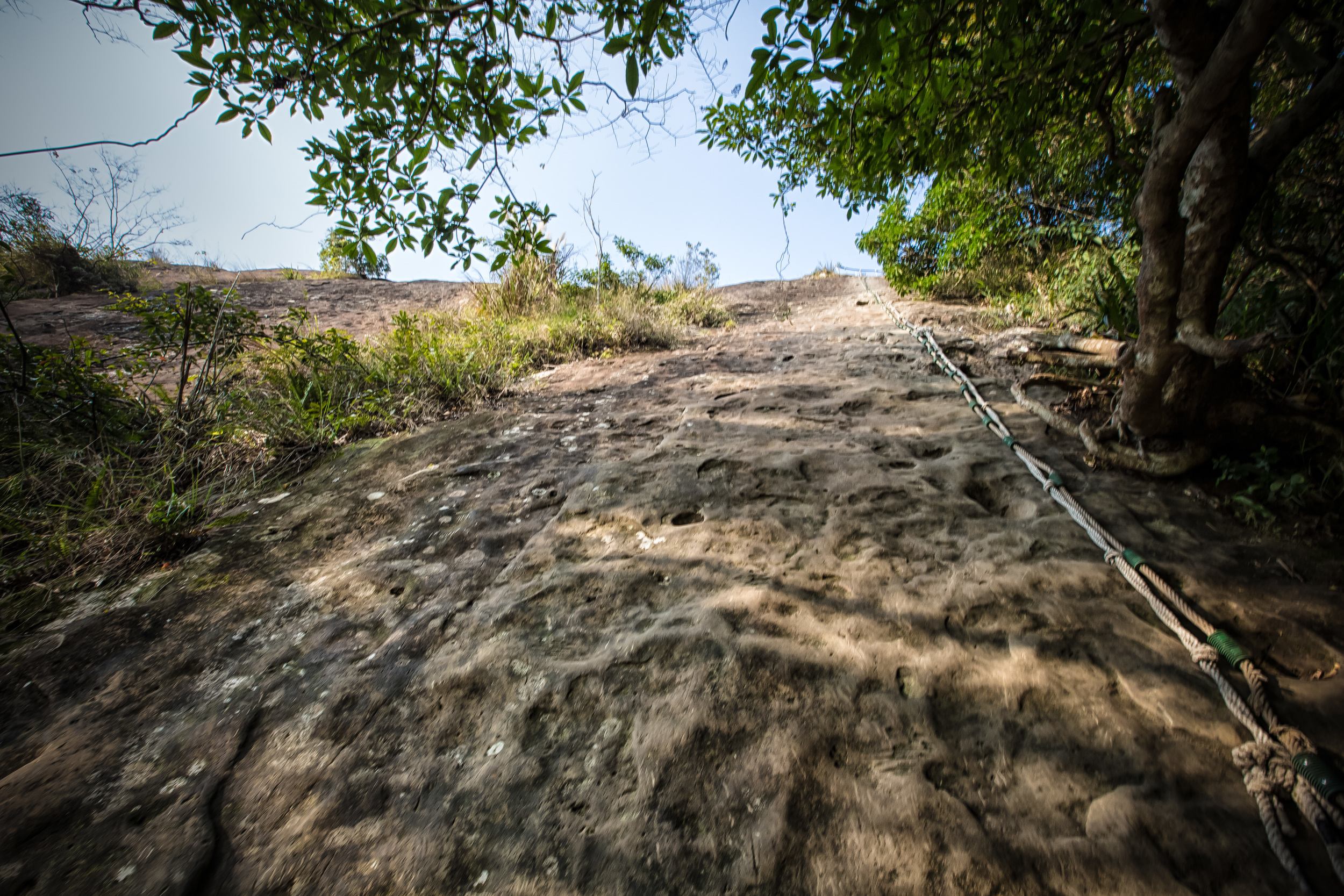
From the get-go, this hike goes up, straight up. It isn't like other hikes that start out gradually and become difficult later. This may be a good thing though because you find a lot of people aren't really prepared for it and quickly decide that this hike isn't for them within the first few minutes. 

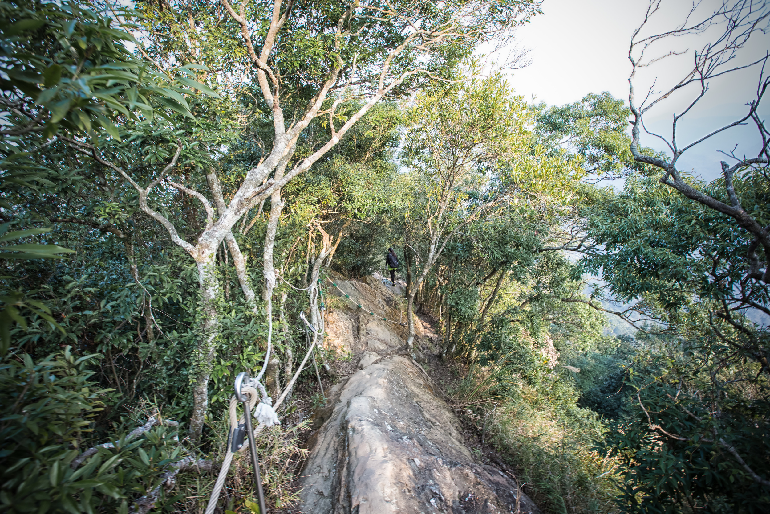
A Taiwanese hiker climbing down the ridge

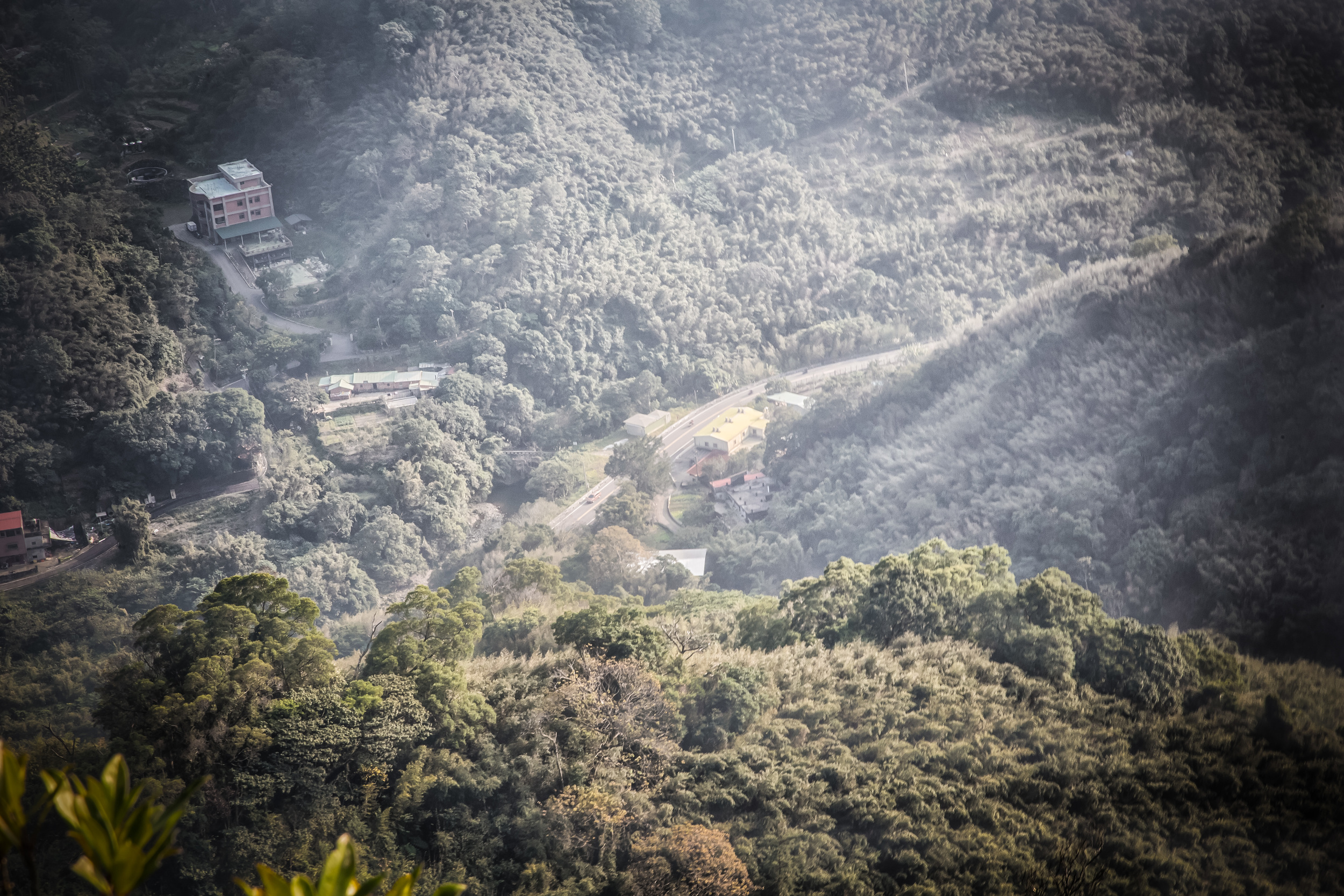
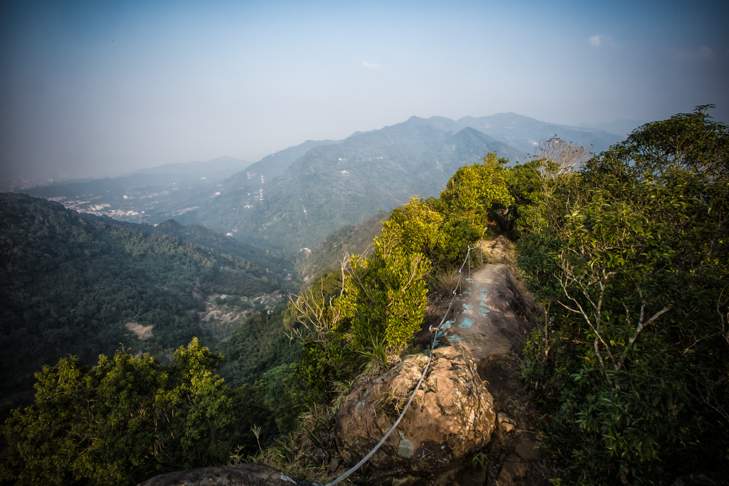
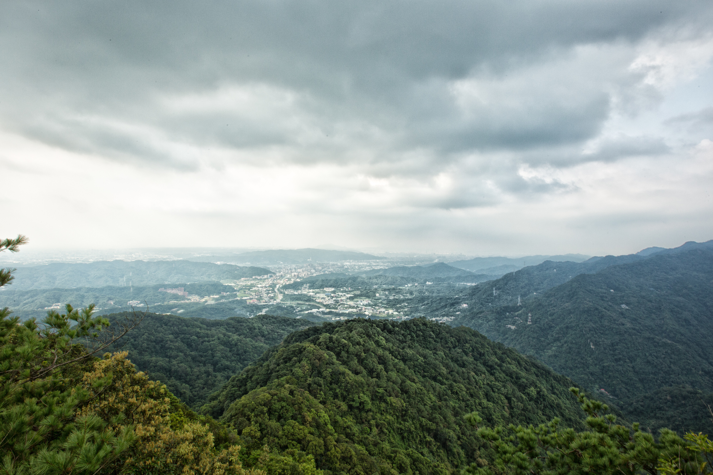
The hike climbs and climbs. The path is really cool and from time to time you get these amazing vistas looking at the road below and the river valley below that. Sooner or later when you get high enough you'll be able to see Sanxia and other parts of New Taipei City. 

You should note that on weekends there tends to be a bit of traffic on the trail which may slow things down a little. 

I come from a family of "fast-walkers." My mom was once told while on a business trip in Texas by a mall security guard to "Slow down Ma'am." and I follow in those footsteps. 

If there are people in your way, its best to be polite and wait for them to give way. You'll notice that hikers in Taiwan are some of the kindest people you'll ever meet. They're always polite and they always smile and say "加油" (Go, Go) when they meet you on a trail. If they notice that they're slowing you down, they'll be sure to make way for you to pass them. Likewise, if you're blocking them, be sure to let them pass by. 

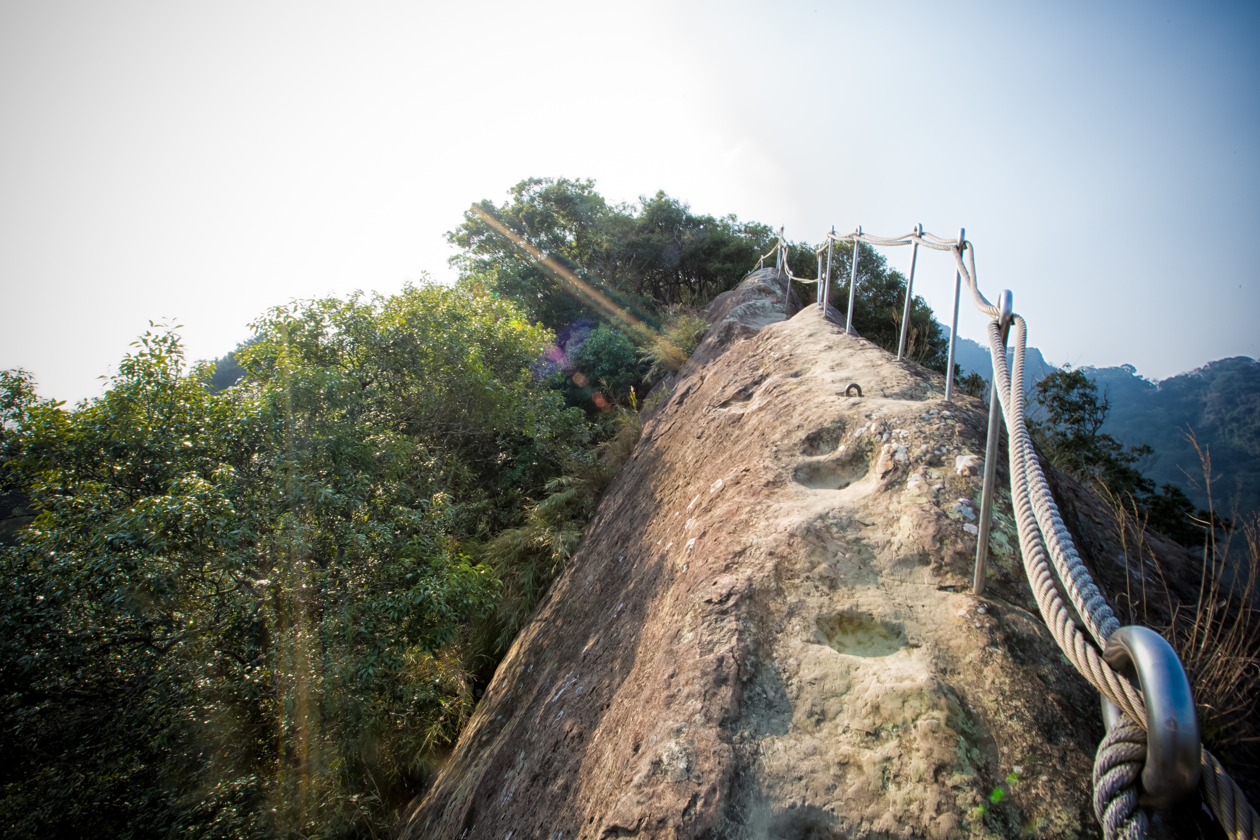
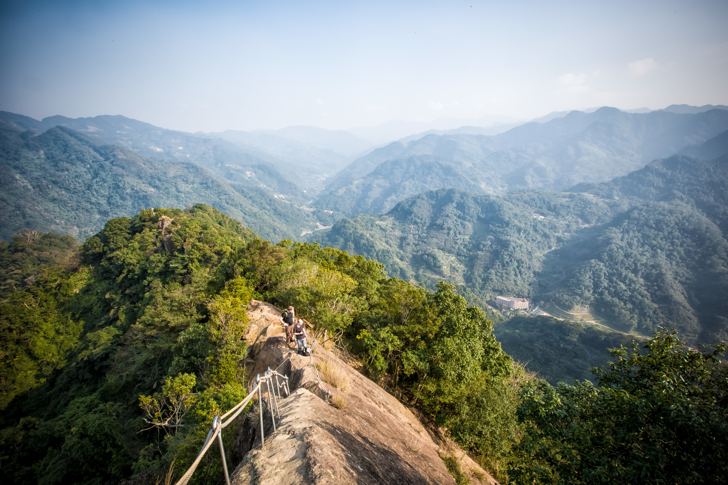
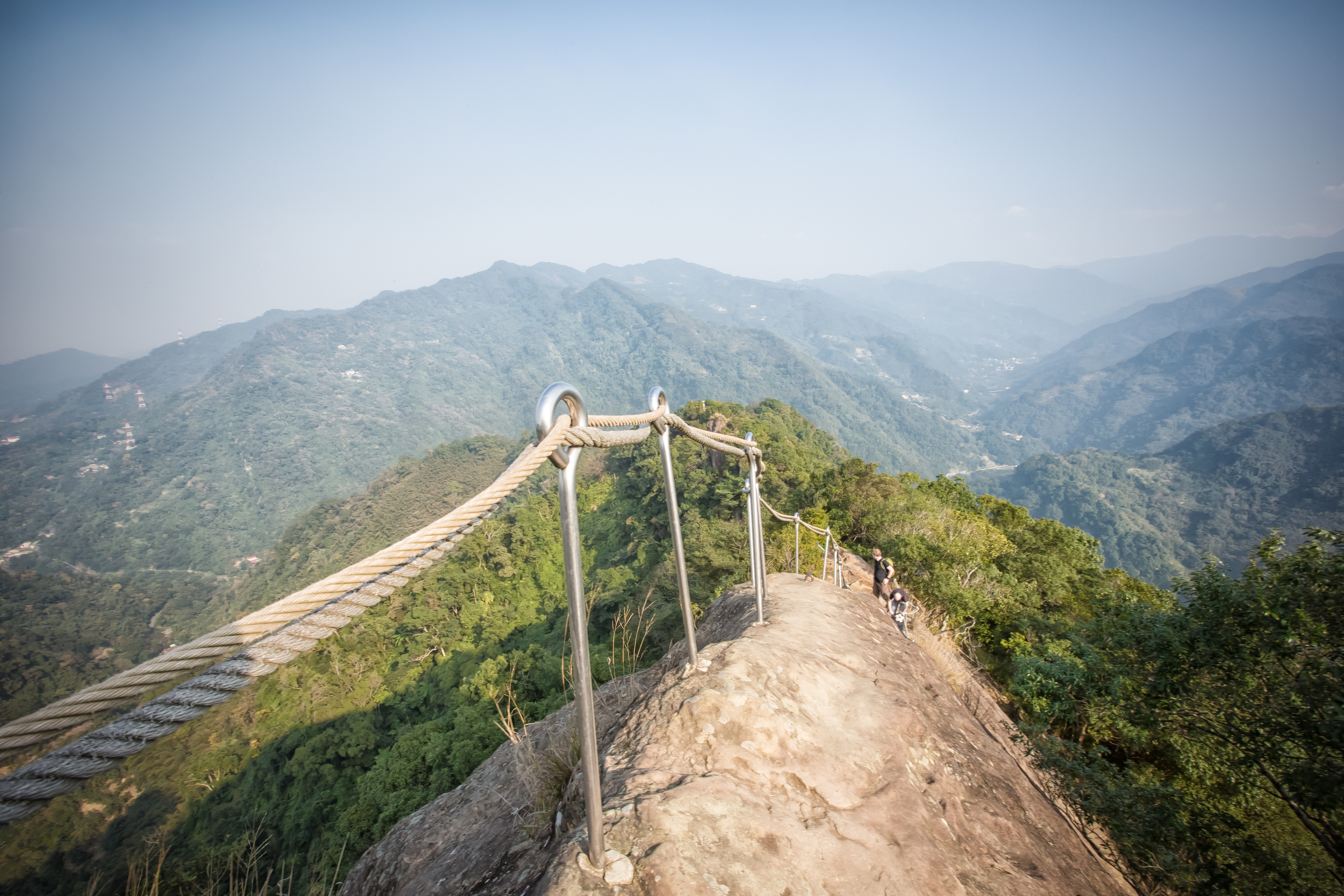
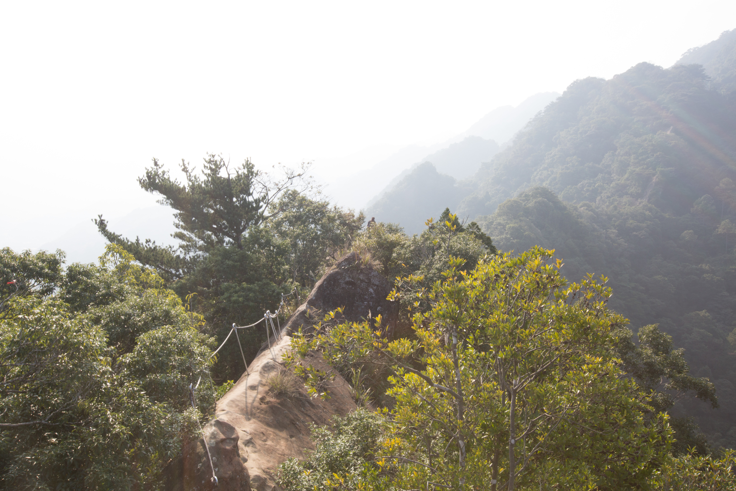
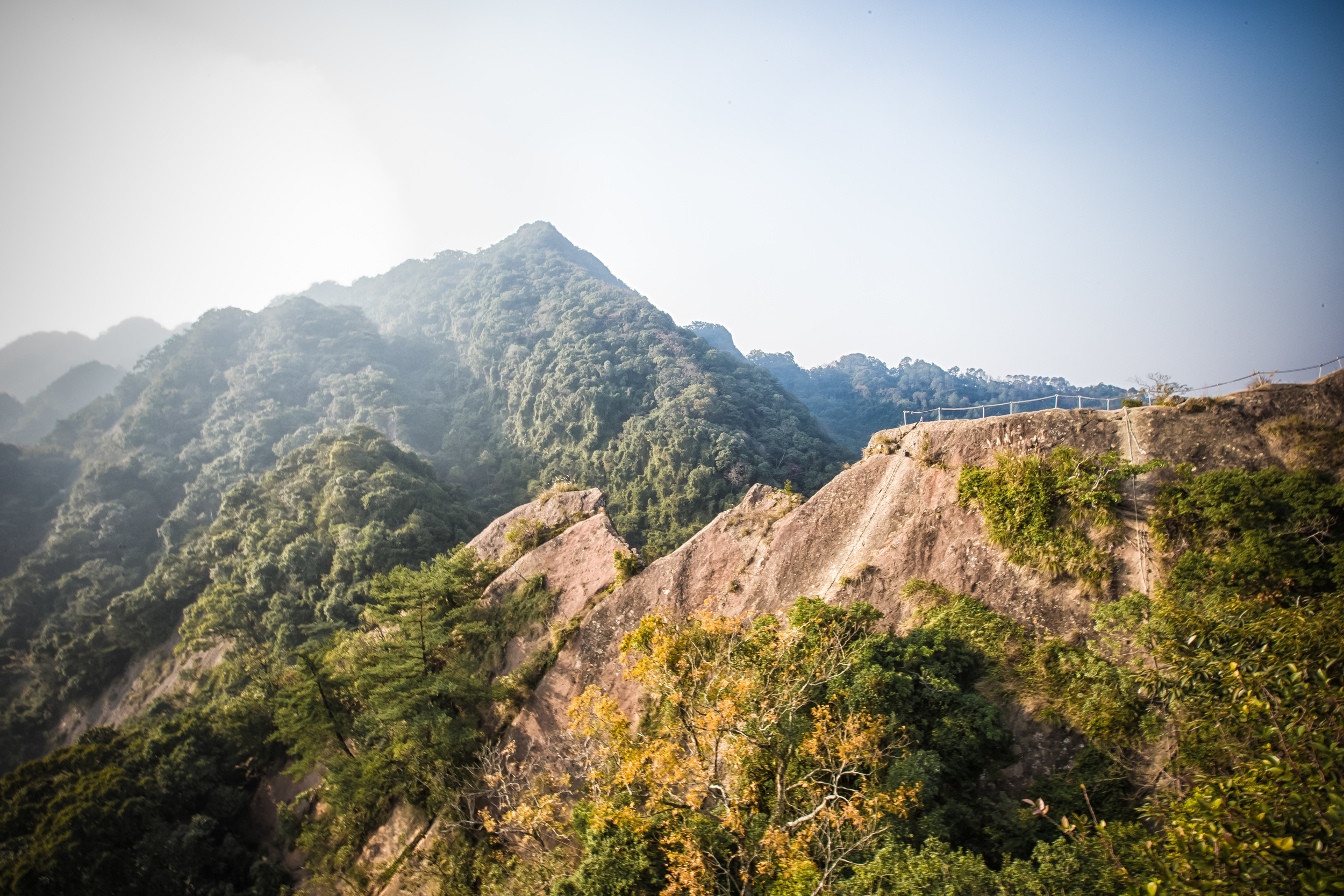
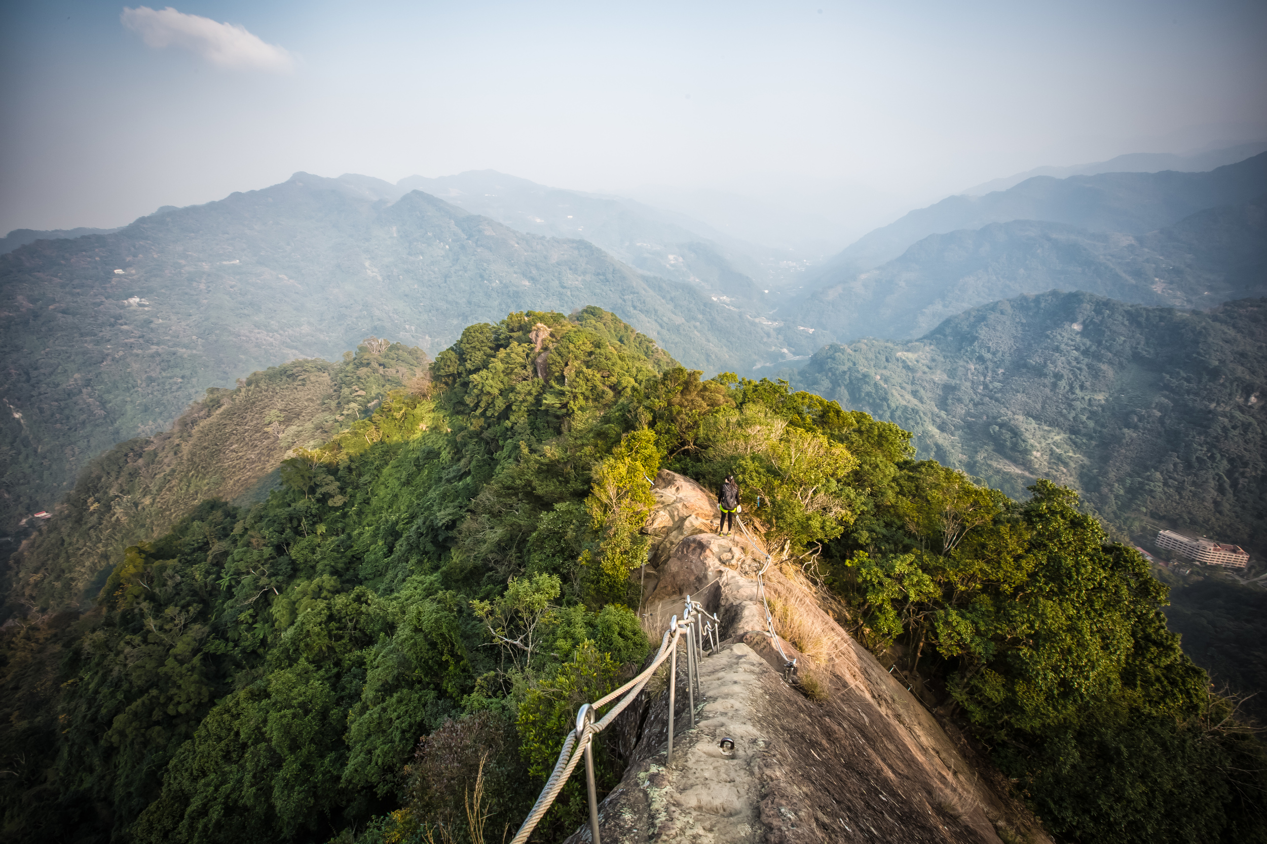
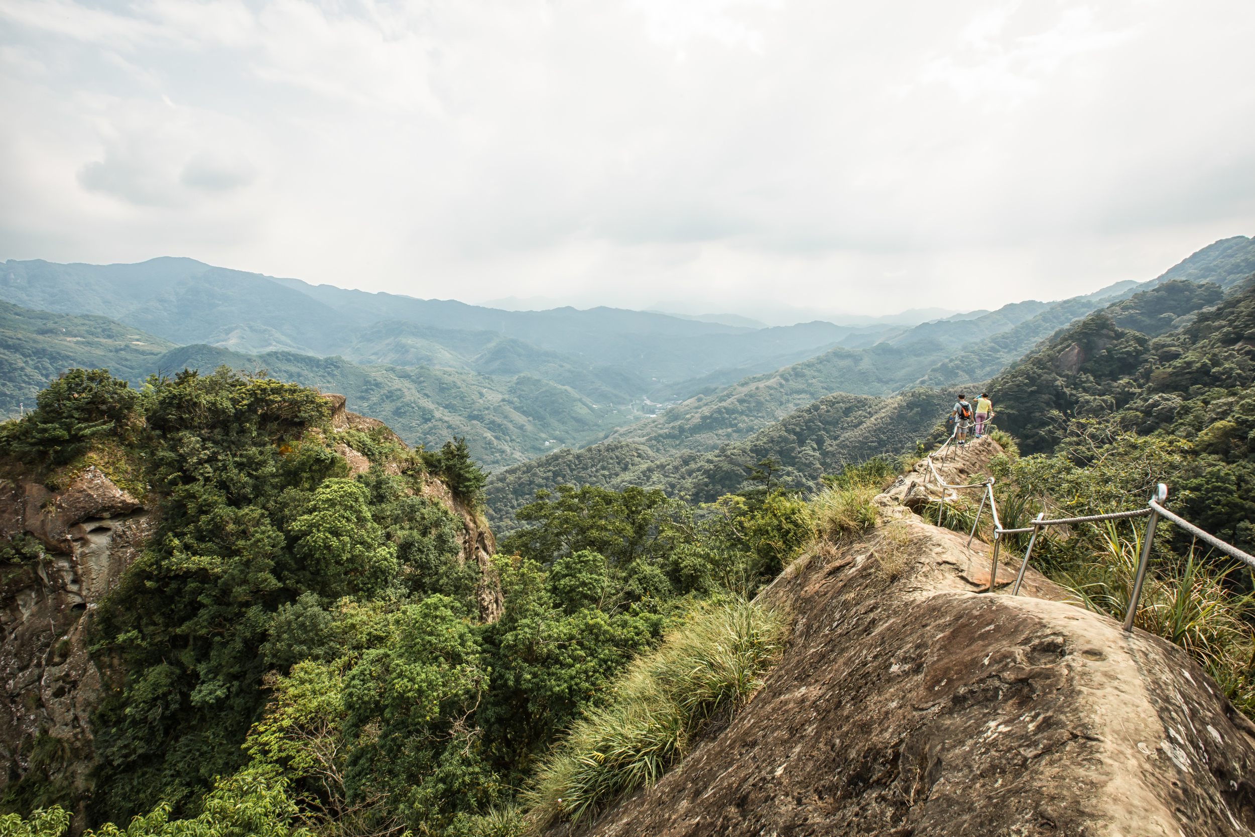
After hiking for a while you'll eventually get to one of the main attractions of the hike. The ridge walk. There are two parts to the ridge walk. The first part is a ridge walking up to the main ridge. At this one you have amazing views of the valley below and depending on the weather you'll have a great view of Sanxia and if you're lucky you might even see Taipei 101 in the distance. 

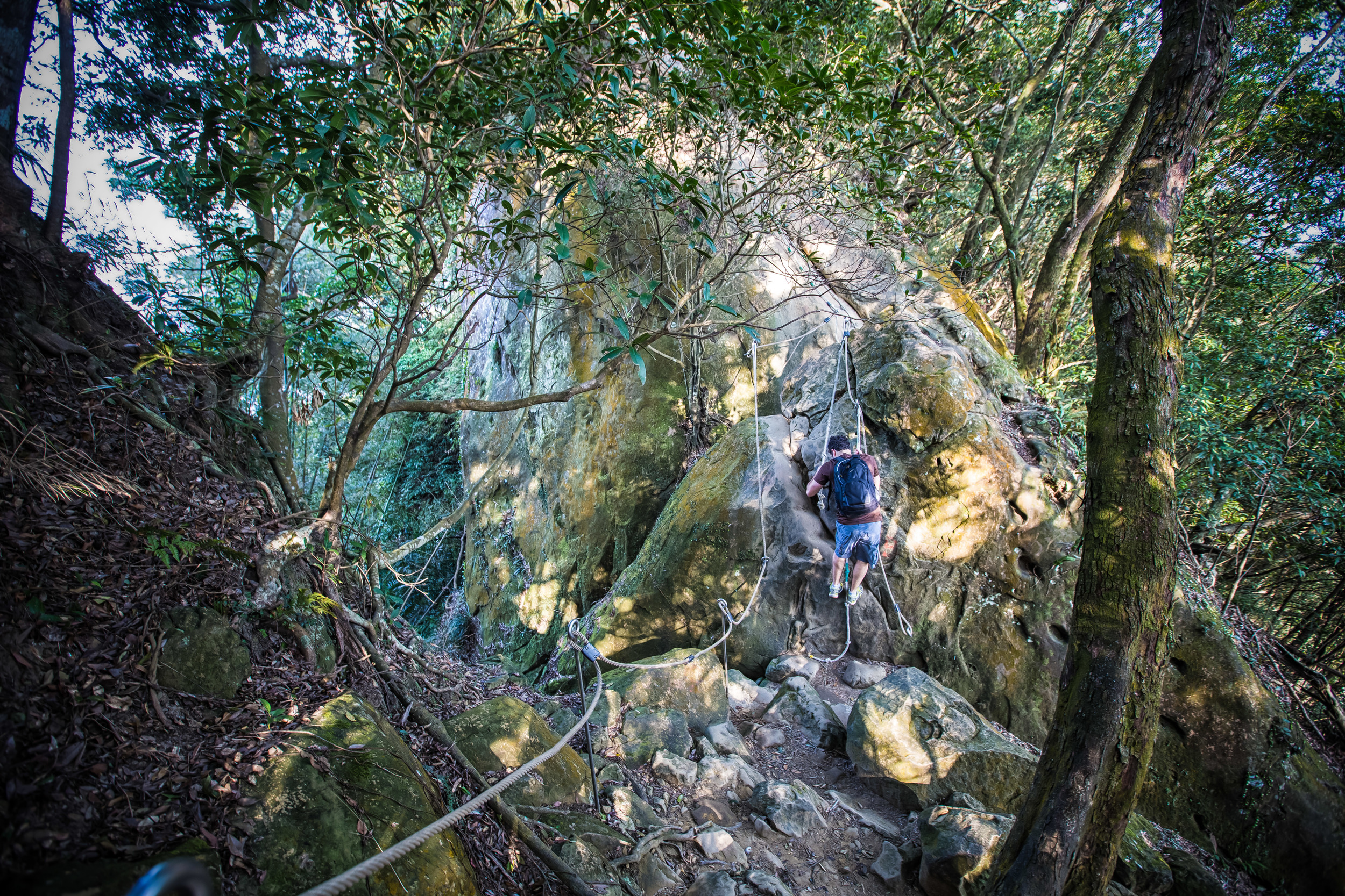
My hiking friend climbing down one of the rock faces. 

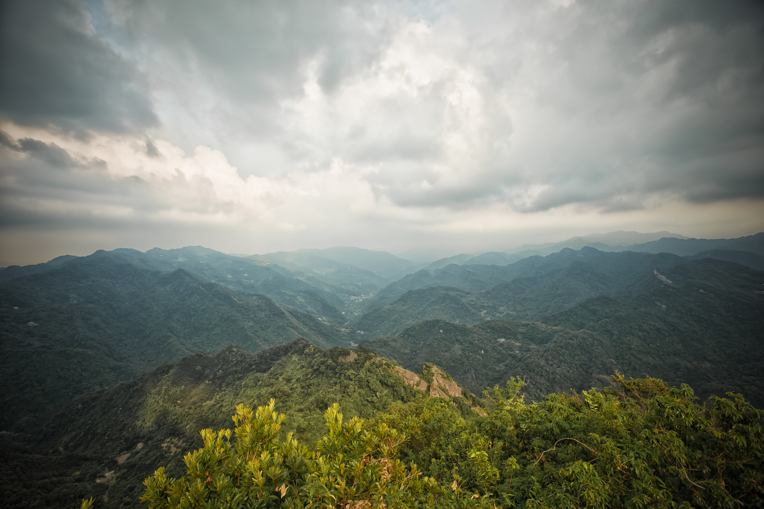
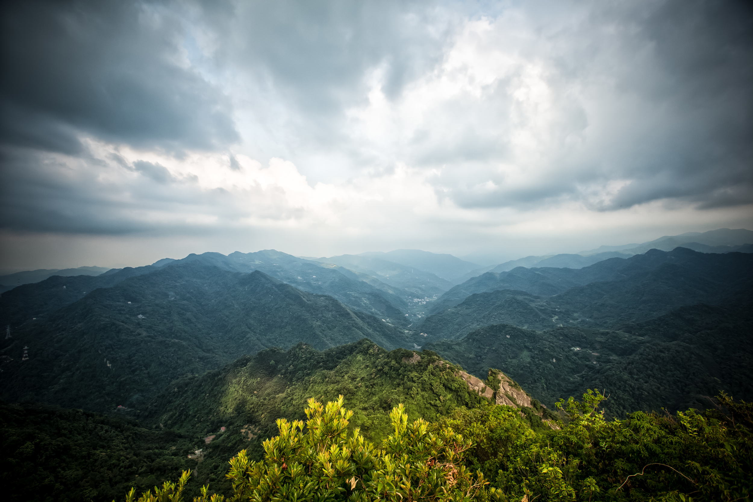
After walking up this part of the ridge you'll walk through a small tree covered area and come out to what for most people is the main attraction of the hike. This is where a lot of people stop to take a break, have a snack and enjoy the 360 degree panoramic views you have of the mountains surrounding you. Its a really cool spot to sit and relax, but on a hot day you will have the sun shining directly on you, so you might not want to stay for too long. 

From this point you have to climb down the rope to the bottom of the ridge. From here you have some choices:

  • Climb the crag opposite the ridge. 
  • Keep hiking towards the peak behind the ridge. 
  • Get the hell out of dodge. (Take the exit) 

If you are planning the third option, I highly recommend at least climbing the crag opposite the ridge. It only takes a couple of minutes and there are some nice views at the top. From there you can make your way to the exit and head back down to the trailhead. 

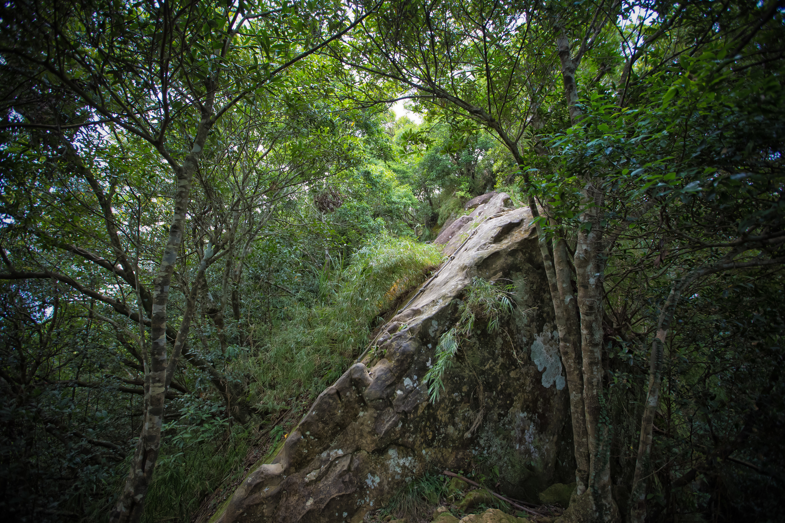
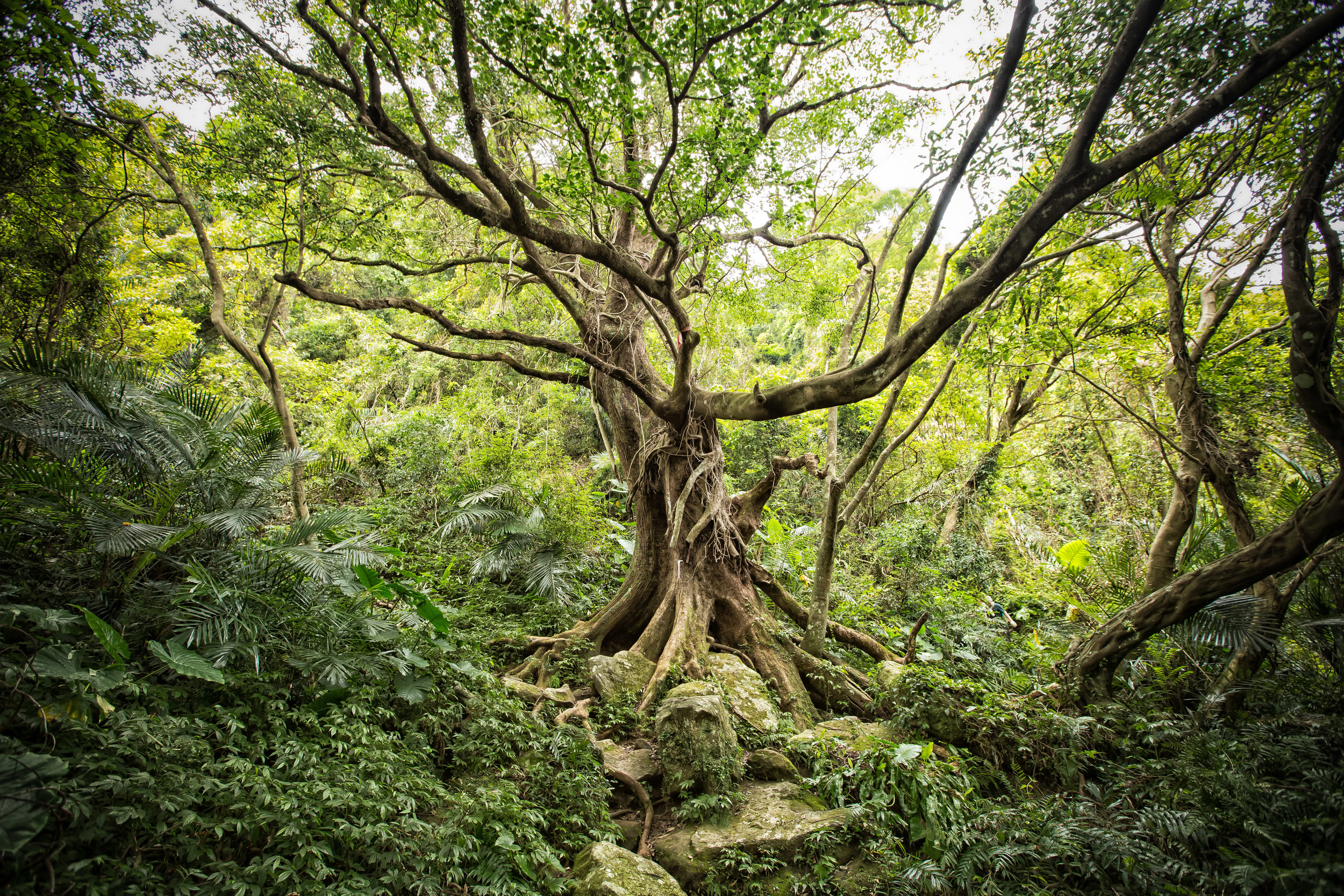
The TREE (You'll know it when you see it!) 

If you're not a chicken however, there's still a lot of climbing to do. The peak behind the ridge should ultimately take another hour or so of climbing. It involves pretty much the same style of hiking. There are ropes to climb up and once you get past the huge tree (you'll know which one I mean when you see it) you'll more or less just have to climb up a pretty steep side of the mountain to get to the peak. 

The Wuliaojian peak isn't a very big one. There is probably only room for about 10-15 people, but you don't have to worry too much about that. Not that many people actually make it to the peak. On top of the peak there is a small marker that has the words "總督府" (Governors Office) which is a remnant of the Japanese colonial period in Taiwan referring to the Japanese installed governor who lived in what is now Taiwan's Presidential Building.  

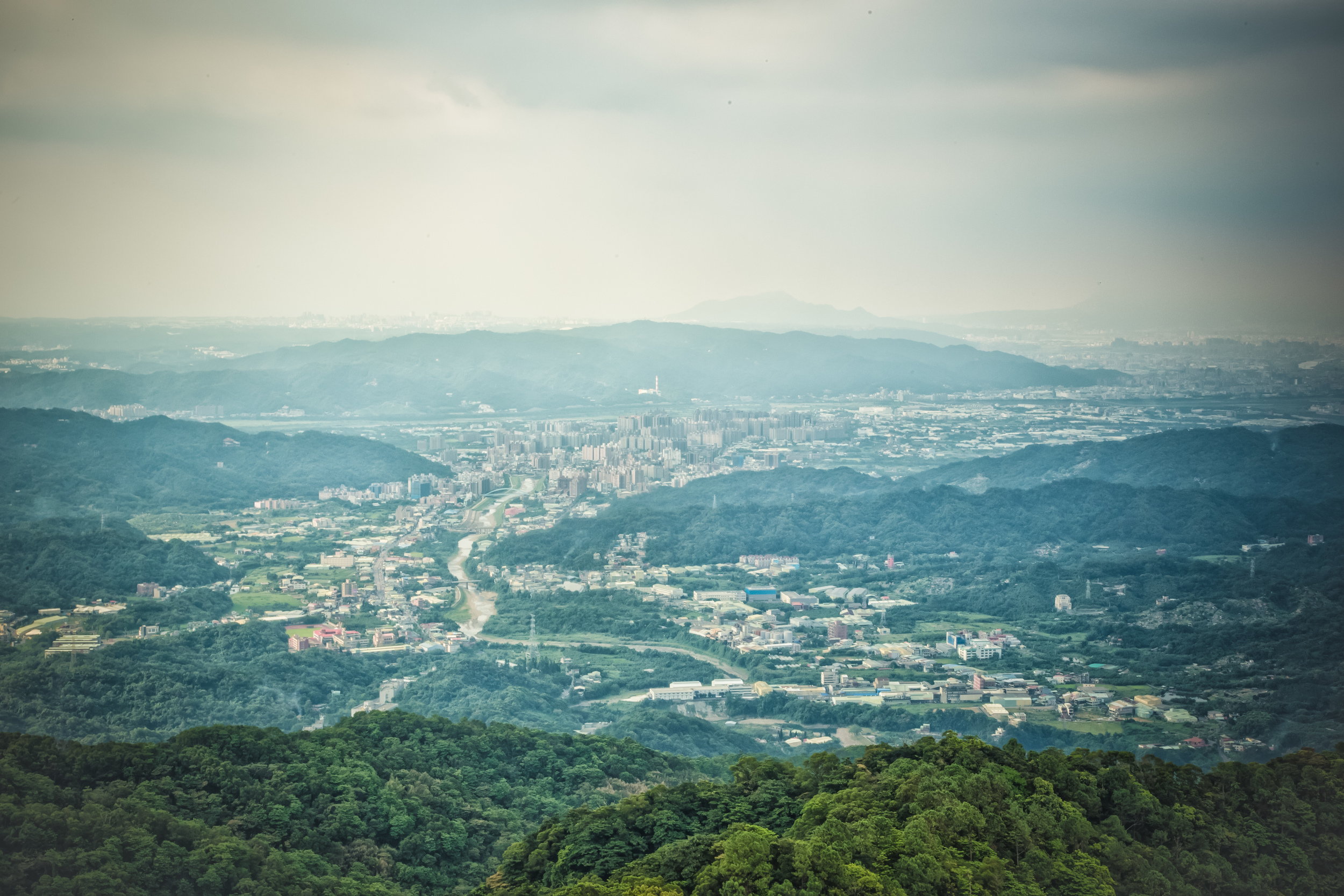
Sanxia in the distance (shot with a telephoto lens, so its actually not that close) 

The peak has some nice views of the valley below and also of Sanxia. You don't exactly get a panoramic view but you do have a pretty good view. Now that you're at the top its time to make your way down. The way down is actually a lot easier than the way up, but you have to be careful of your knees as you are more prone to put pressure on your knees going down than going up. 

When you get to the main path, and by that, I mean back to the big tree, the exit is more or less marked and it will take you down a path that will probably take you about half an hour or more to get back to the store. 

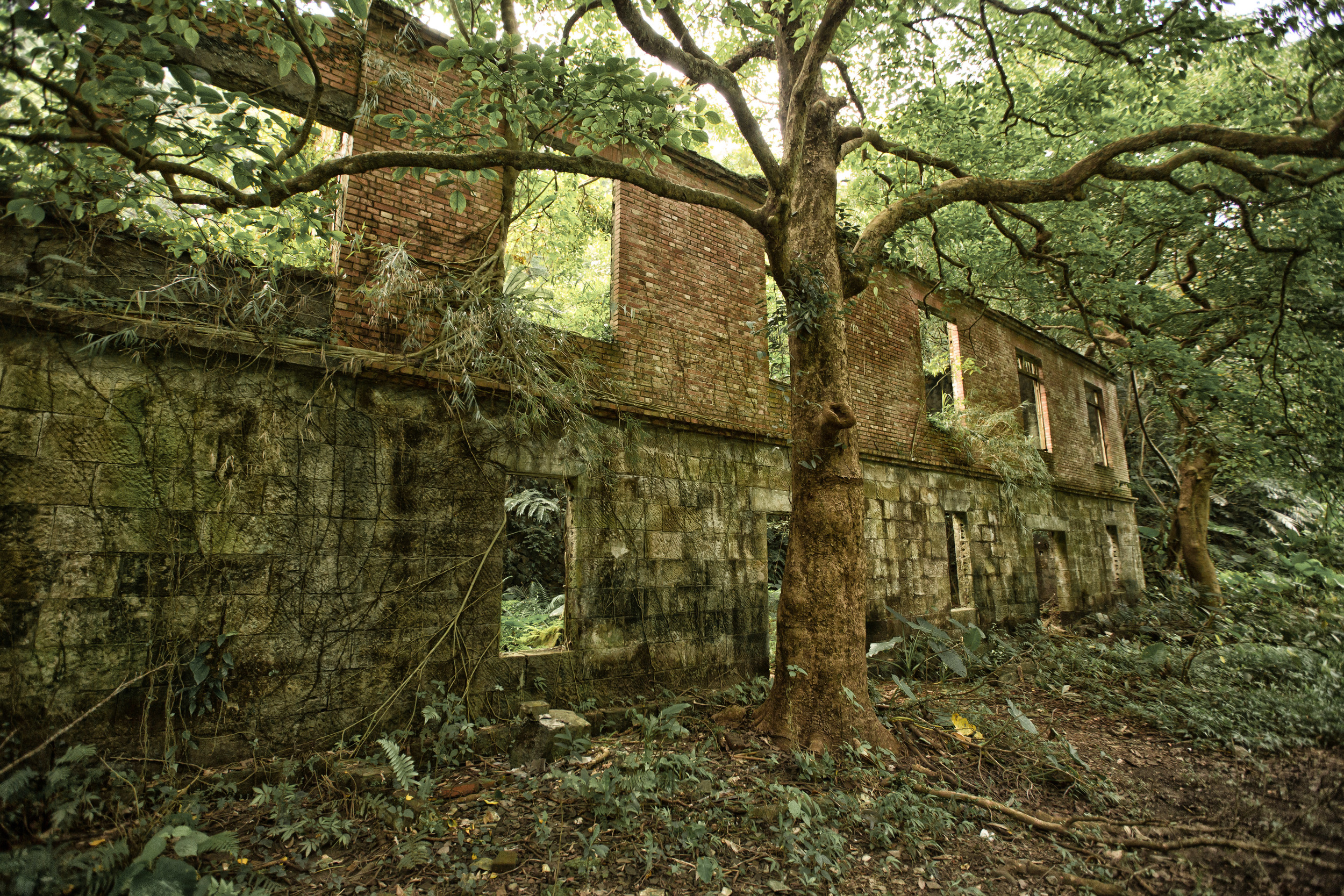
On the way back to the path there is a really cool looking structure that looks like someone started building a house but only had enough money to build 1/4 of it. So you have this brick building with nature growing all over it and its covered by trees. 

Incomplete and abandoned building

If you're like me, when you get to the bottom you'll walk straight into the store and buy a can of Taiwan Beer and finish drinking it in about 5 seconds. 

Wuliaojian is an epic hike. Its fun. Its a day-hike - but it tests your limits in the same way a high mountain hike would do. 

This hike comes highly recommended. Its my favourite day hike and I'm sure that if you give it a chance, you'll enjoy it just as much as I do! 

A couple of guys who quit just before getting to the main ridge. 


Google Map Location


Be sure to check out the sliding gallery below, or click the Flickr link to be see high res pictures from the hike! I hope you enjoy them!  


Gallery / Flickr (High Res Photos)
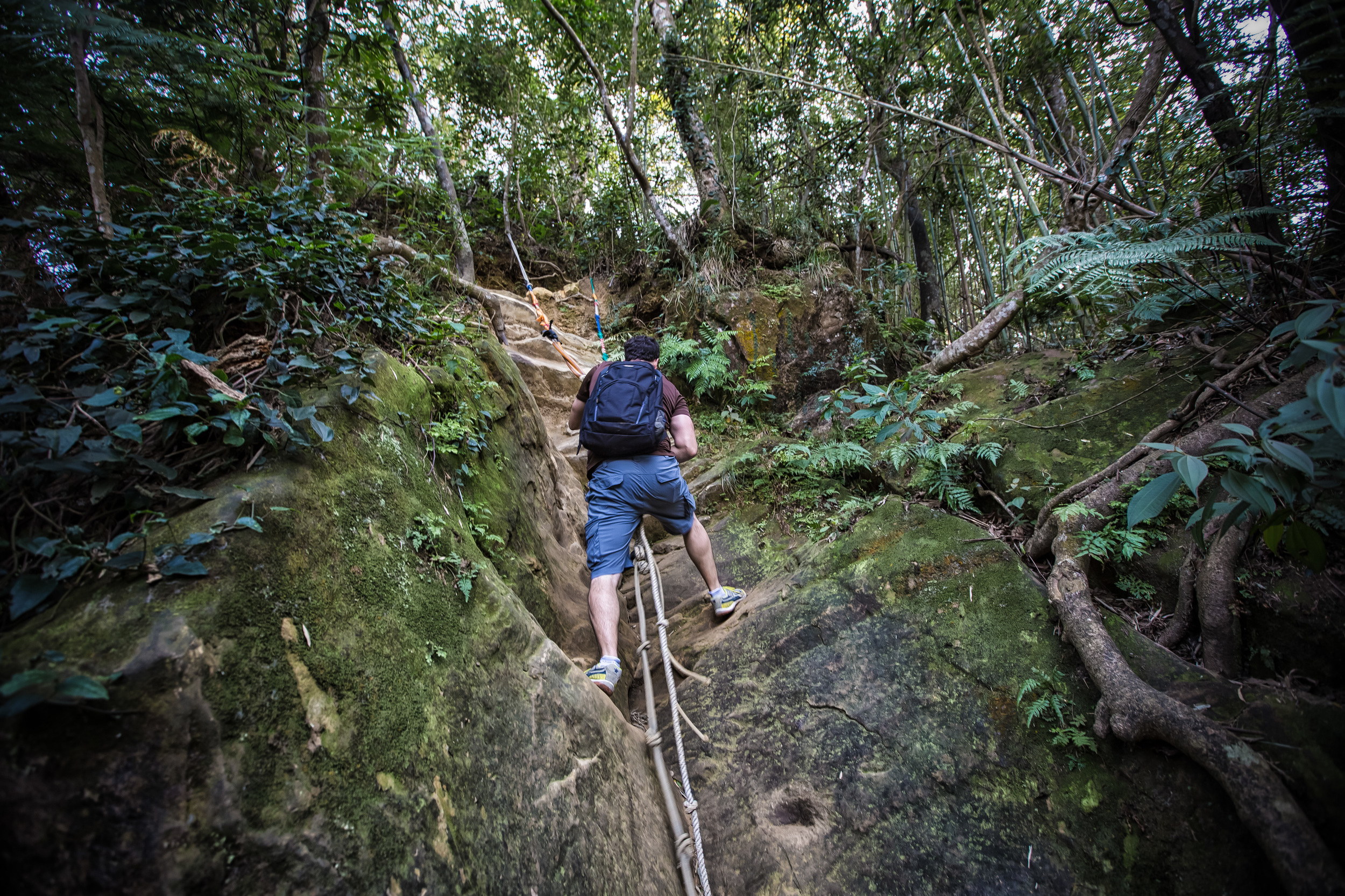

Smart Phone Shots of me on the Ridge

Here are a couple shots of me heading down the rope on the ridge from one of my friends. 

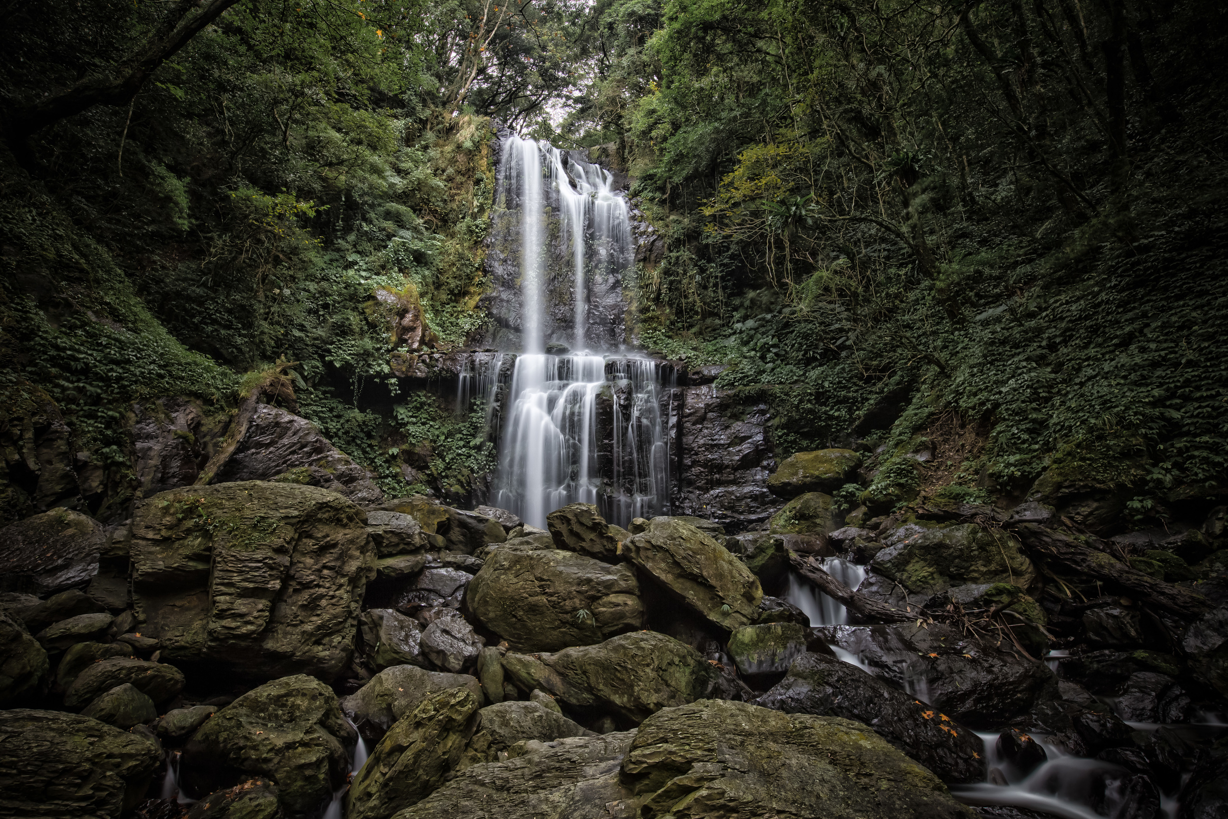
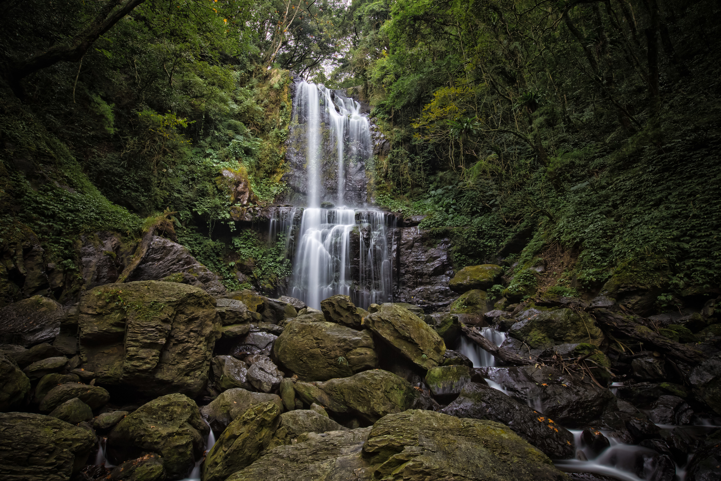
Cloud Forest Waterfall (雲森瀑布)

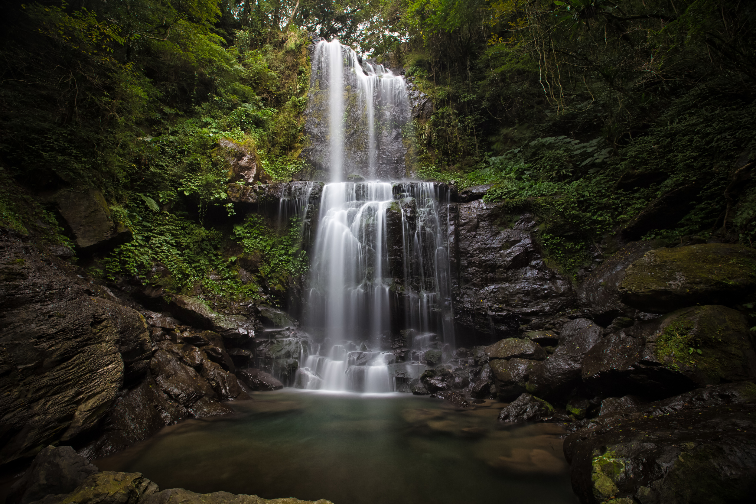
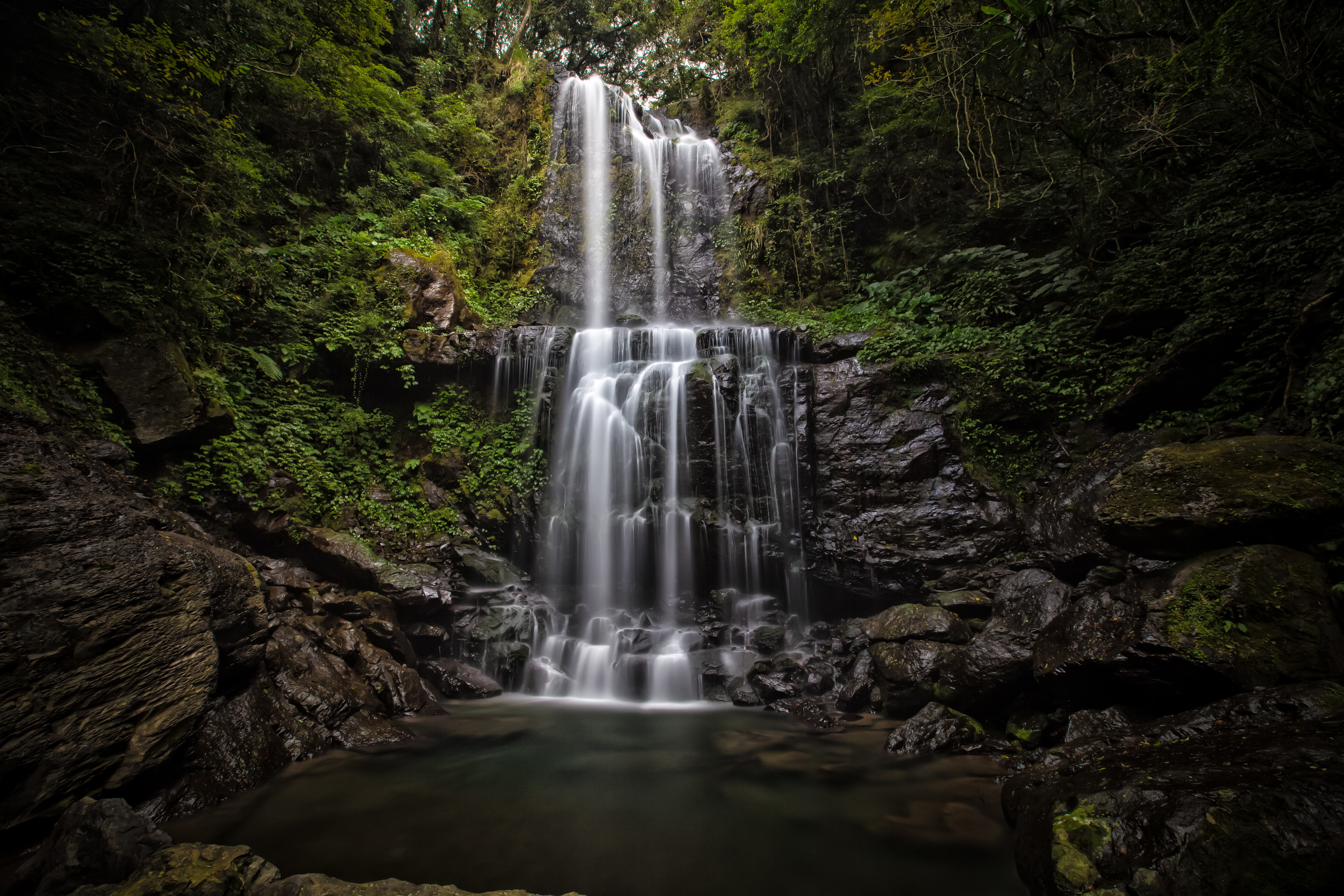
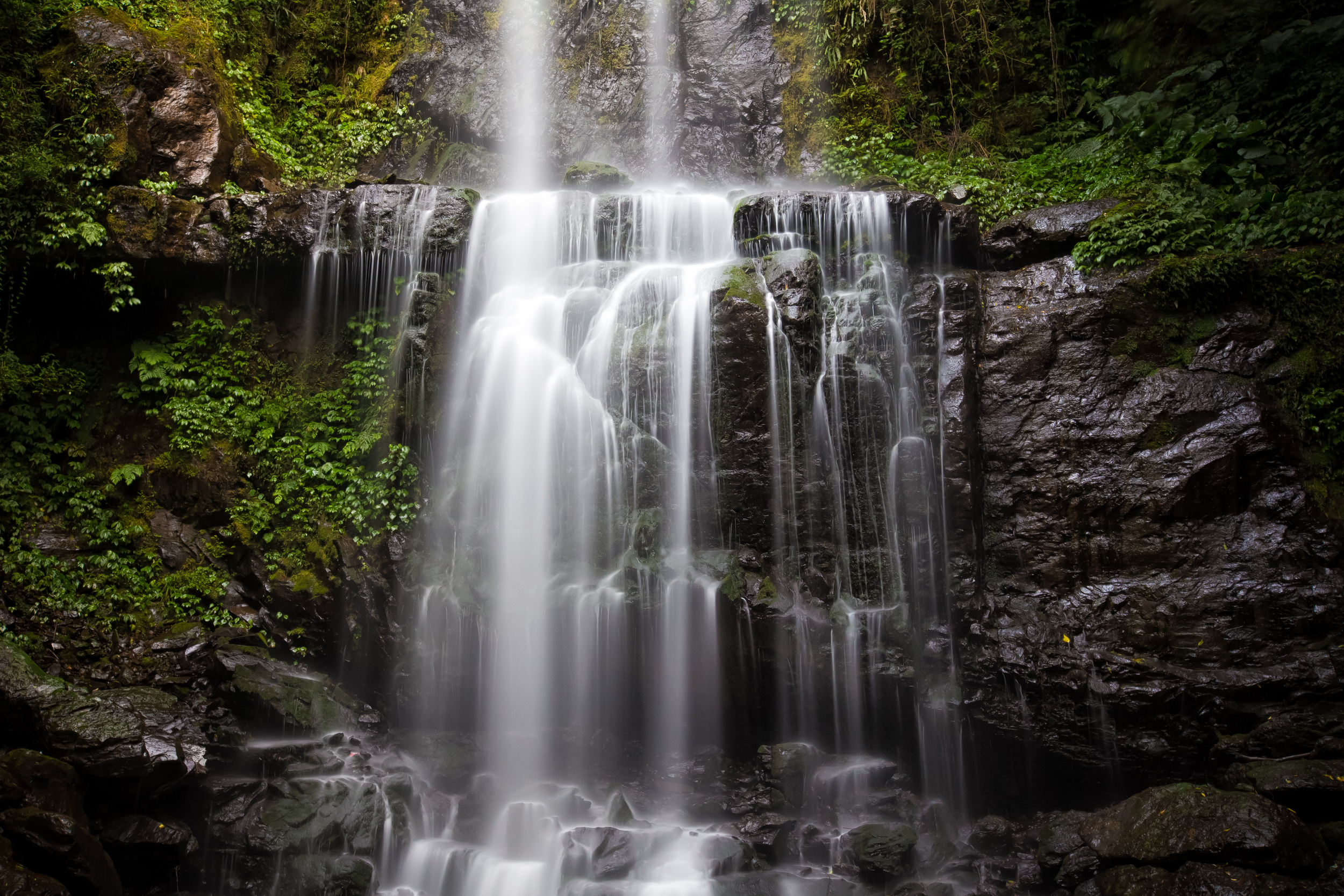
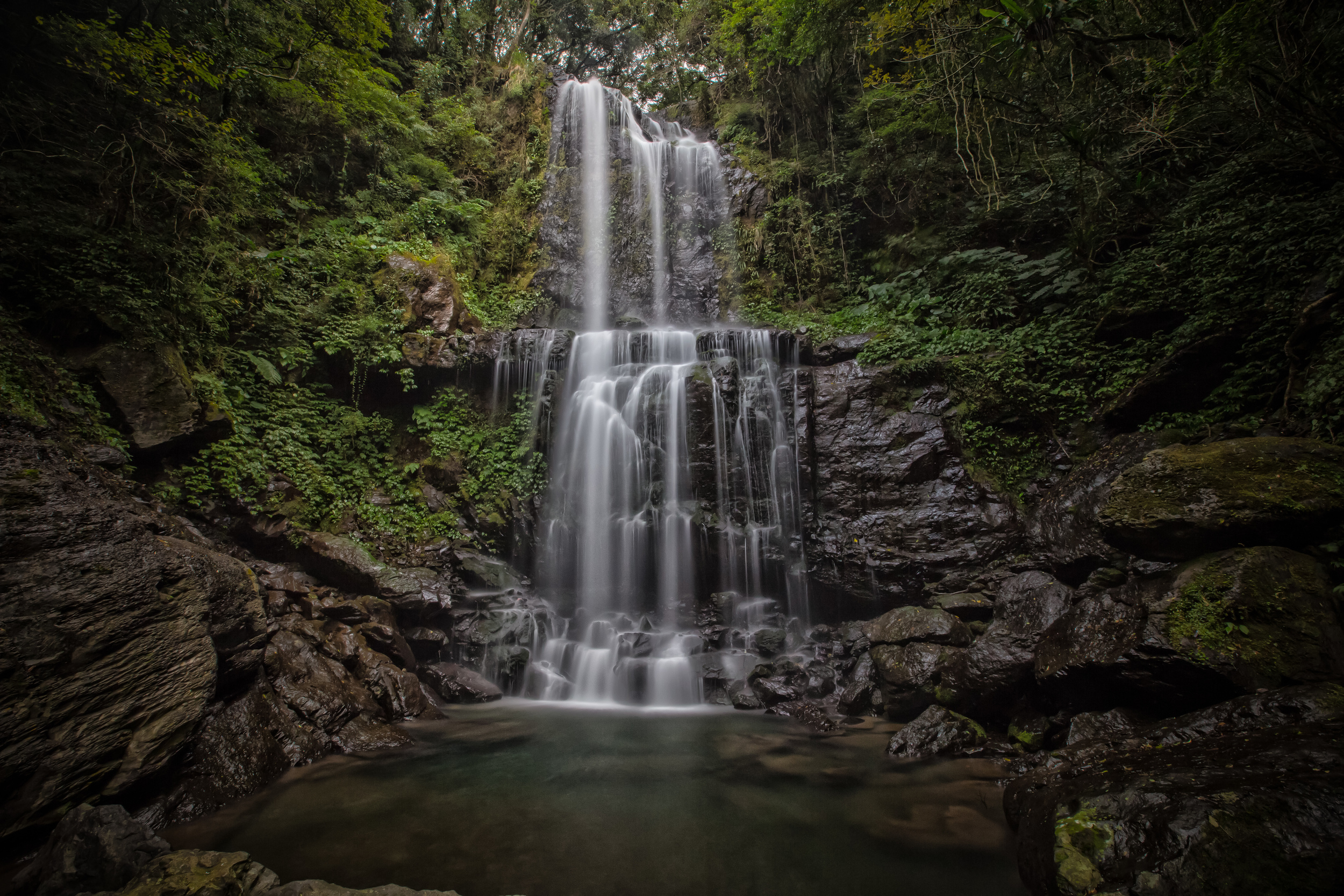
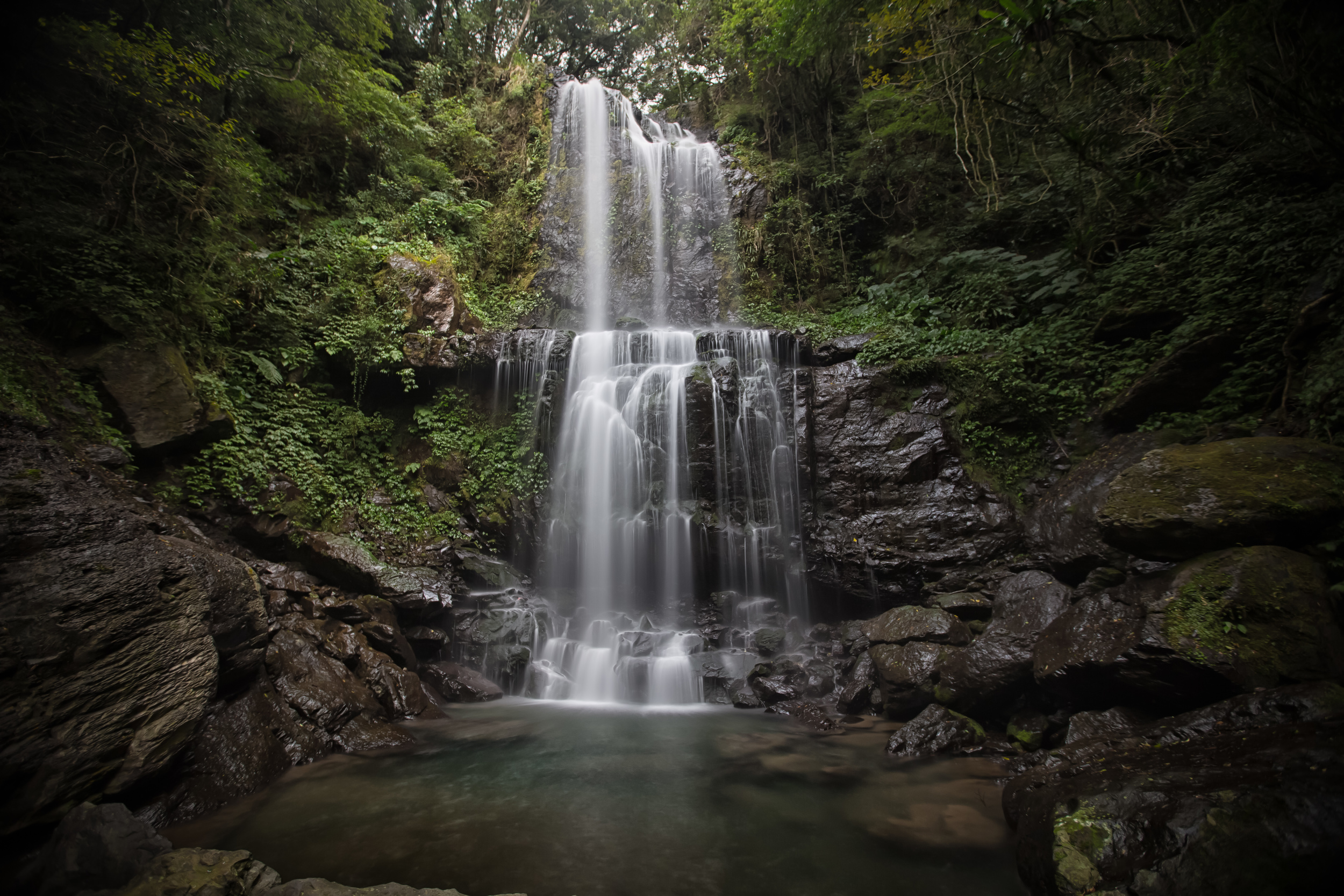
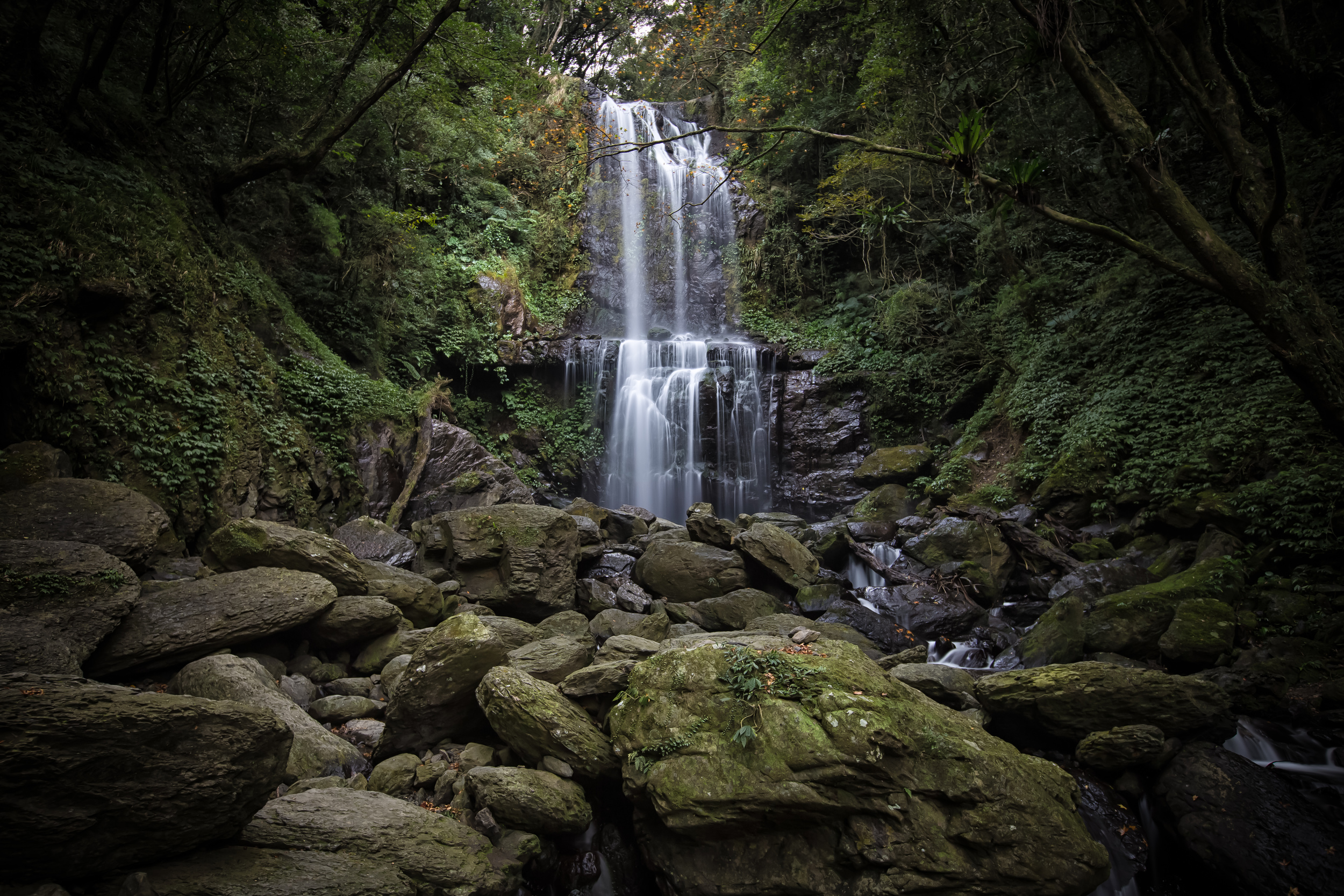
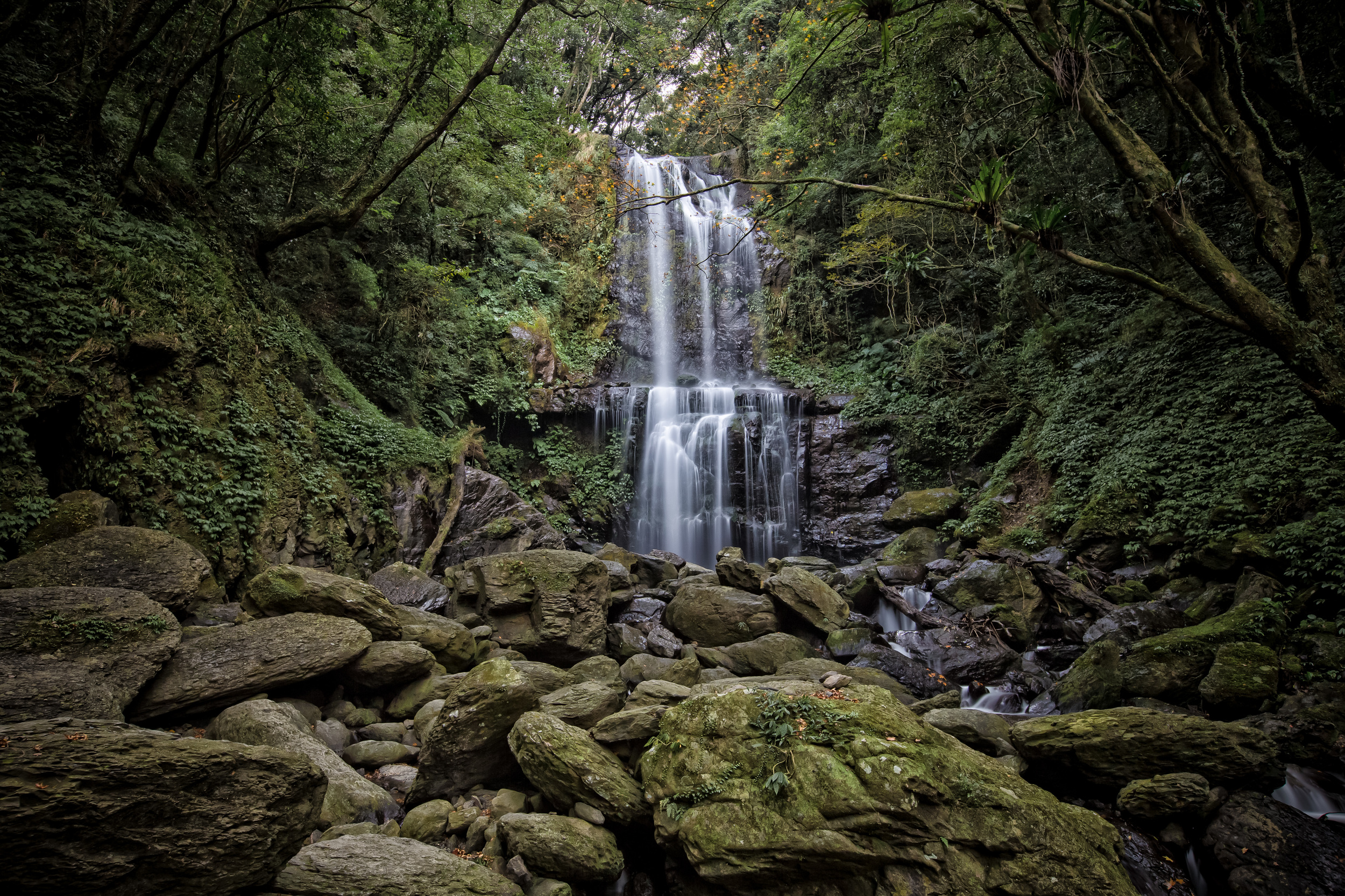
Yun-Sen Waterfall (雲森瀑布) which translates as “Cloud Forest” waterfall is kind of an unknown (and overshadowed) waterfall in New Taipei City’s Sanxia District (三峽區.)

Its a beautiful waterfall, its just not that well known - especially among the foreign hiking groups that I frequent. If you take the hike to the waterfall, even on a busy day, you’re not likely to meet many other people other than bird watchers on the trail. 

I’m assuming this is because not that many people know about it and because it is not actually that easy to get to without your own means of transportation (car or scooter.) 

There are buses from Sanxia that will take you near the trailhead and the major marker for the trailhead is actually the Taipei bus company’s “Xiong-Kong” bus stop (熊空站) but it seems to me that they are extremely infrequent and not very dependable. 

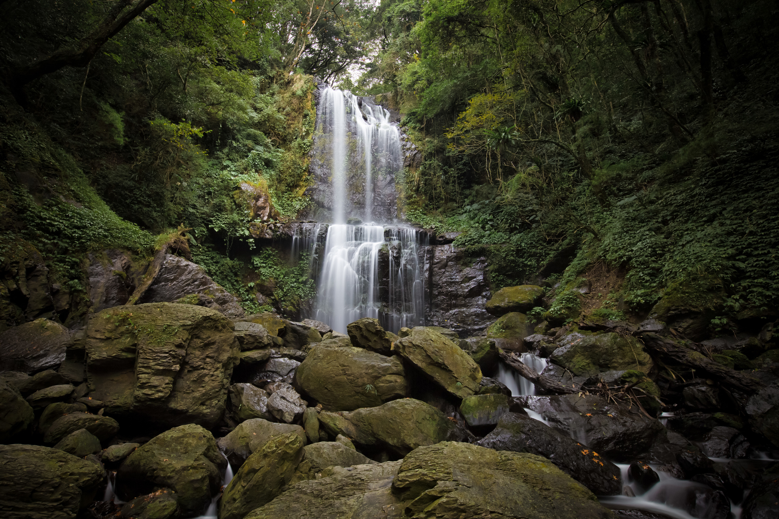
- A close up long exposure of the waterfall

I’ve travelled that road numerous times over the past few weeks while on my way to other hiking trails and I’ve not once seen a single bus. So, if you’re reading this blog post and suddenly get the urge to visit the waterfall, you’d have to be a lot more patient than I am to use the public transportation option to get there. It’s not impossible by any means, I’m just not patient enough to wait hours for a bus to arrive, especially when you’re completely unsure if it is going to come at all.

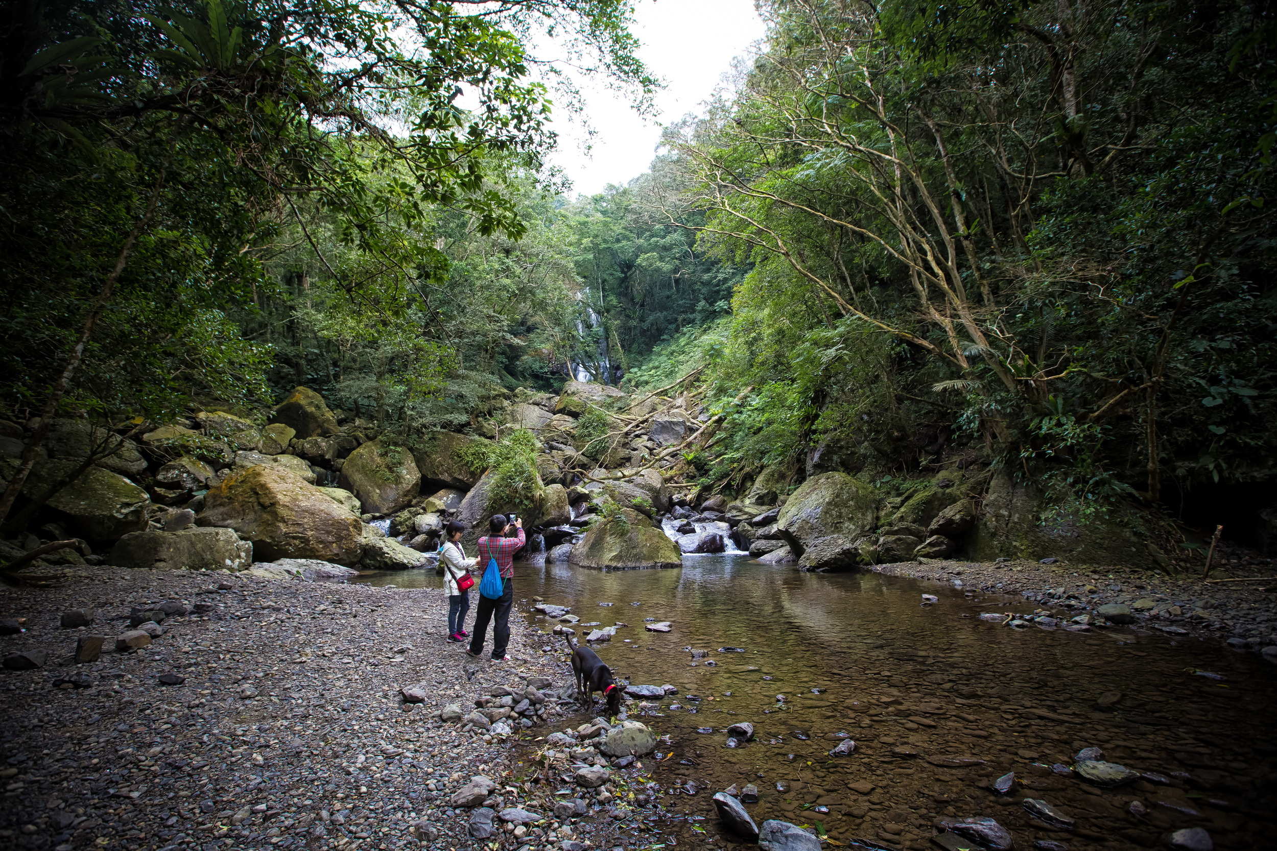
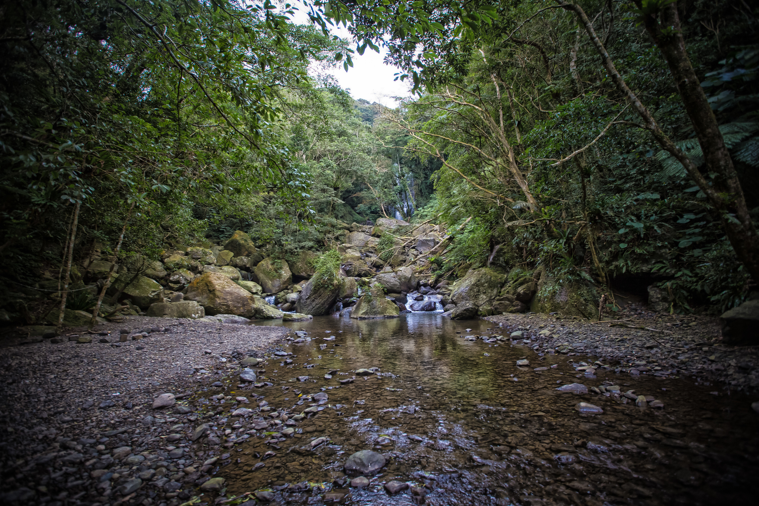
- Taiwanese hikers at the stream below the waterfall

The road you take to arrive at the trailhead is more or less a dead-end road that takes you past the Da Ban Gen Hot Spring Resort Village (板藍根) to the Man Yue Yuan National Forest Recreation Area (滿月圓國家森林遊樂區) which are both popular destinations and somewhat overshadow the waterfall. 

When you arrive at the Xiong-Kong bus stop the trailhead is to the right, but it isn’t clearly marked in Chinese or in English so you have to be careful that you take the right route.

Before going, I checked with a Taiwanese hiking blogger and made use of google maps to make sure that I was on the right path when I arrived. (Tip: Type 雲森瀑布 into google maps and it will lead you to the trailhead) I was driving my scooter, so I cheated a bit and drove my scooter up the paved path all the way from the bus stop to the trailhead. 

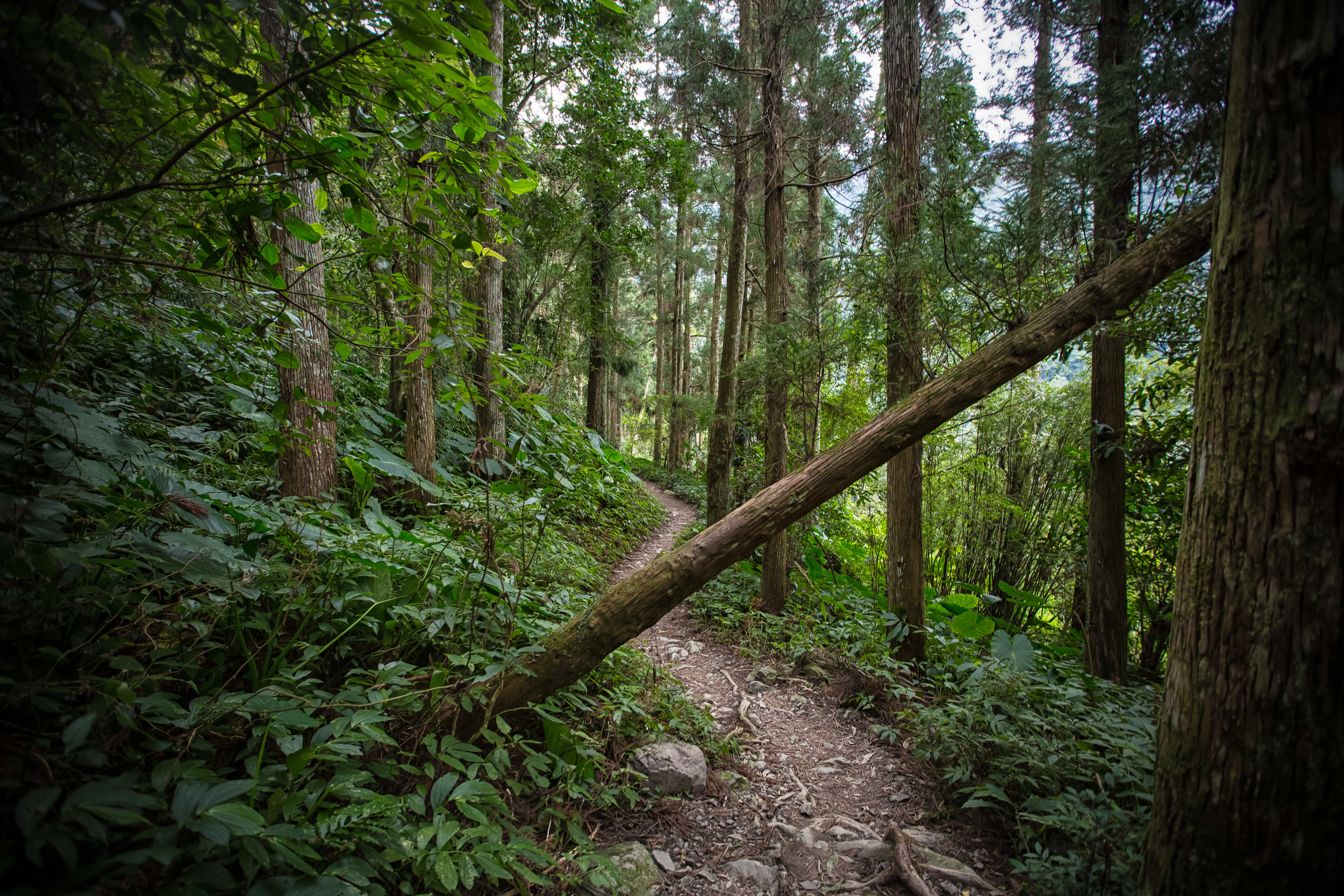
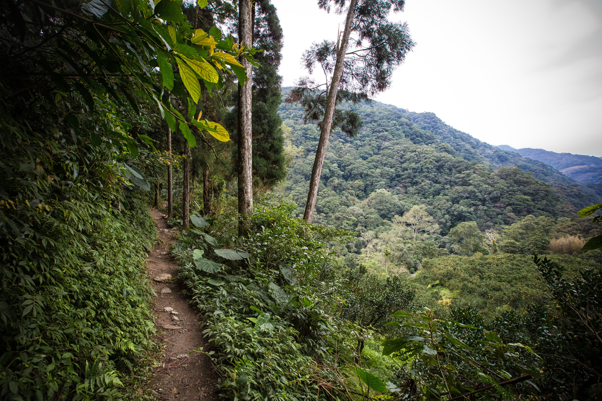
- The trail to the waterfall

- The trail to the waterfall

The hike itself is very leisurely and takes about 30-40 minutes for the average hiker. I was in a bit of a hurry when I got there because it looked like it was about to rain, so from the trailhead to the waterfall, it took me only about 20 minutes.

The trail is nice and depending on the season you might randomly notice an orchard of tangerines in the river valley on your way to the falls. 

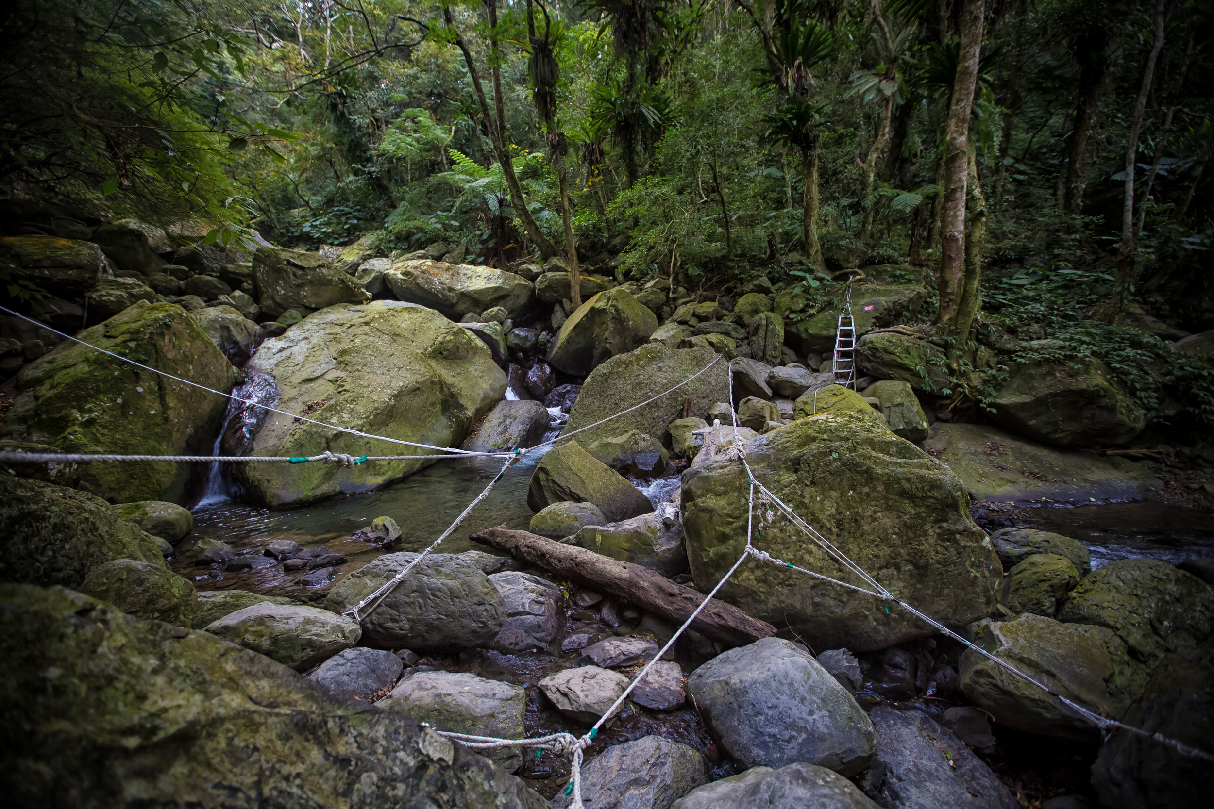
You eventually arrive at a clearing in the forest and pass a small stream that will take you to a rocky area. This area has painted arrows on massive rocks showing you the direction to take to the waterfall.

Before taking the next path to the waterfall, make sure to stop at the stream below to check out the waterfall from afar. 

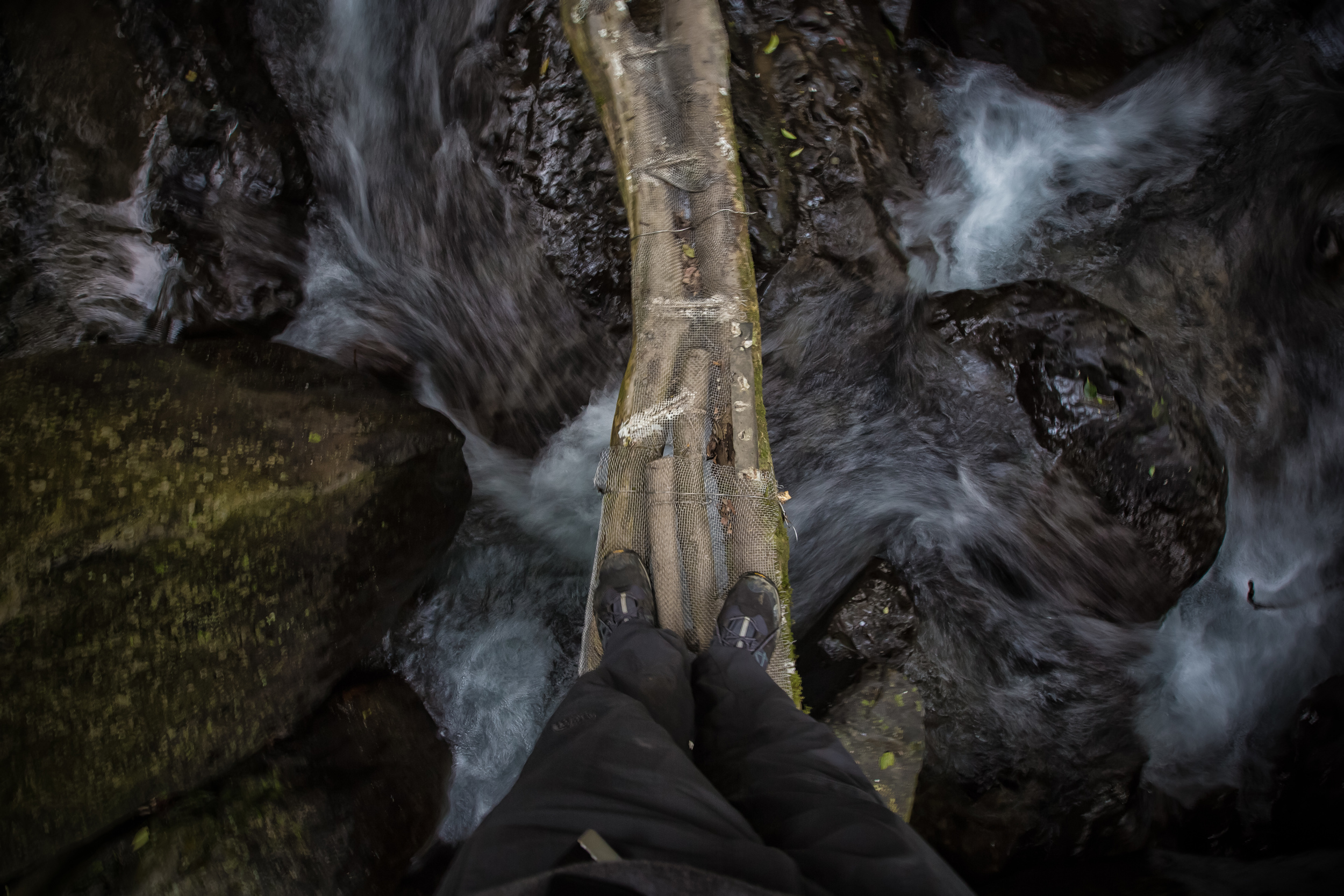
- Carefully walking over the river

The path to the waterfall is kind of cool. You make your way through a series of ropes, then a couple of logs lashed together over a river and then up a ladder which takes you to the base of the falls.

From this point you can continue to climb on another path, which I unfortunately didn’t have time for (but will be checking out in the future as I saw some hardcore hikers coming down from it) 

The waterfall isn’t as big as some other waterfalls in Taiwan, but you can easily get close to the base and in the summer, you can safely take a dip in the pool at the base (which I will be sure to do this summer) 

- 雲森瀑布

The Cloud-Forest waterfall isn’t the easiest to get to transportation-wise but as far as hiking goes, its one of the easiest trails to take to see a waterfall. You can easily take children or your dog for a walk. If you have a car or a scooter handy, I recommend checking out this waterfall, and if its summer time, make sure to bring a towel and some swimming trunks to enjoy the pool. 


Google Map Directions to the Waterfall


Gallery / Flickr (High Res Shots) 

Sun Moon Lake (日月潭)

For most North Americans who come to Taiwan it can be a bit of a strange feeling seeing how excited Taiwanese people get when they talk about how large and beautiful their 7.93 km² Sun Moon Lake (日月潭) is even when the smallest of our Great Lakes, Lake Ontario is 18,960 km² in comparison. 

That being said, everything is relative. The Great Lakes are polluted and are frozen nine months of the year, and as all arguments like this go: Size isn't Everything

Sun Moon Lake is majestic and even though its not actually that big, its easy to see why it is the pride of Taiwanese people from every part of the country.

Oddly enough, Sun Moon Lake is so popular that it also appears on one of the pages of the most recent version of the passport of the People's Republic of China (not to be confused with the Republic of China) despite it not even being within the territory that it actually governs.

That is almost tantamount to Canada having Mount Rushmore in our passport. Nevertheless, that whole predicament is an argument for another day. 

The lake is situated in Taiwan's Nantou County (南投縣) and is surrounded by mountains on all sides.

Nantou happens to be one of my favourite places in Taiwan as its one of the most scenic areas for hiking with the Alishan scenic area (阿里山國家風景區) and the Yushan National Park (玉山國家公園.)

The county is directly in the middle of the country and gives easy access to some of the highest points of Taiwan's Central Mountain Range (中央山脈) with 41 of Taiwan's 100 mountains which have peaks over 3000 meters high.   

The lake is considered holy land and the area surrounding it is home to the “Thao” (邵族), one of Taiwan's Indigenous tribes which has unfortunately become one of Taiwan's smallest remaining (recognized) indigenous groups. 

Like many other indigenous groups in Taiwan who are still unrecognized by the central government, it took far too long for the Thao people to actually get the recognition they deserved when it came to their home and their claim that Sun Moon Lake is part of their holy land. 

Over the past century, they have had to endure the Japanese occupation which considered all indigenous groups “savages” and then the latter half of the century with the Chinese Nationalists who did their best to “sinicize” all of Taiwan’s indigenous people by forcing them to learn Mandarin and changing their way of life. 

They fortunately received recognition in 2001 as one of Taiwan’s ten different ethnic indigenous groups and the population has slowly started to rise due to efforts to preserve the culture.  

Lalu island (拉魯島), a small island in the middle of the lake is especially important to the Thao people, but has been used in the past as a popular place for weddings by other ethnic groups who came to the island.

Even more unfortunate is that the island has suffered over the past century due to the construction of a dam that raised the water levels in the lake and the effects of the devastating earthquake on September 21st 1999 (九二一大地震) which rocked central Taiwan and wreaked massive destruction. 

Since the cooling of hostilities between the Republic of China (Taiwan) and the People’s Republic of China (China) tourism has become a major source of income for the area and what was once a very relaxing and peaceful area to visit has now become laden with development and littered with tourists who take boat rides across the lake ultimately causing a lot of pollution. 

When I first visited the lake years ago I thought it was a perfect escape from the bustling cities in the north. You could sit on the board walk and watch the sun rise or the sun set in perfect quiet.

When I visited this time however every five meters that I walked I was asked by somebody if I wanted a boat ride, which made me feel like I was touring somewhere in South East Asia.

The lake itself, despite all of this however is still beautiful. I visited on Christmas, and while most Canadians oddly wish for a white Christmas, I was perfectly happy with my colourful Christmas with the emerald green waters of the lake, the blue sky and the green mountains that surround it. It was also a nice escape from the weather in the north of Taiwan which at the time was pretty dreary. 

I didn’t have much time during this visit to Sun Moon Lake as I was just stopping by for a few hours before making my way up into to the mountains. I did have a nice walk around half of the lake and had an excellent view of the lake from the Starbucks by the boardwalk. 

I sincerely hope that the Taiwanese central government and the Nantou county government has the foresight to curb some of the development around the lake and do more to preserve the pristine beauty of the area so that future generations can enjoy it as much as we do now. 

If you have a chance to visit Taiwan, make sure Sun Moon Lake and Nantou is on your list of places to visit. 

Gallery / Flickr (High Res Shots)