Teapot Mountain (無耳茶壺山)

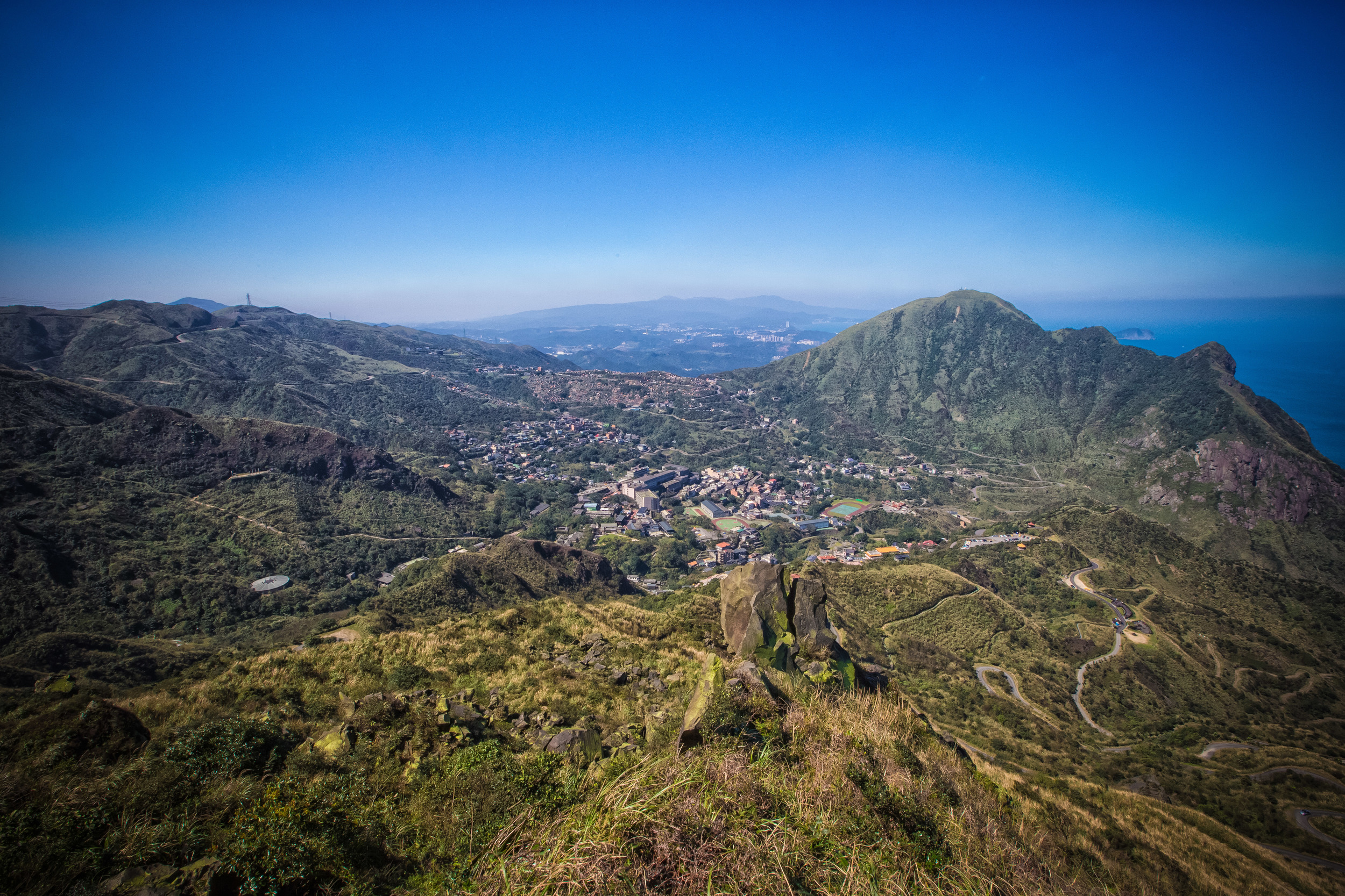
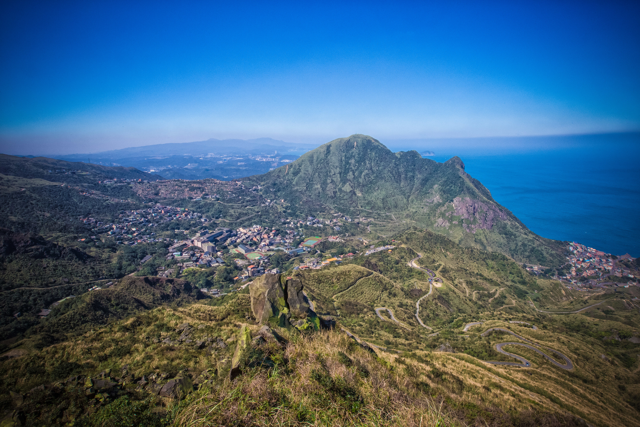
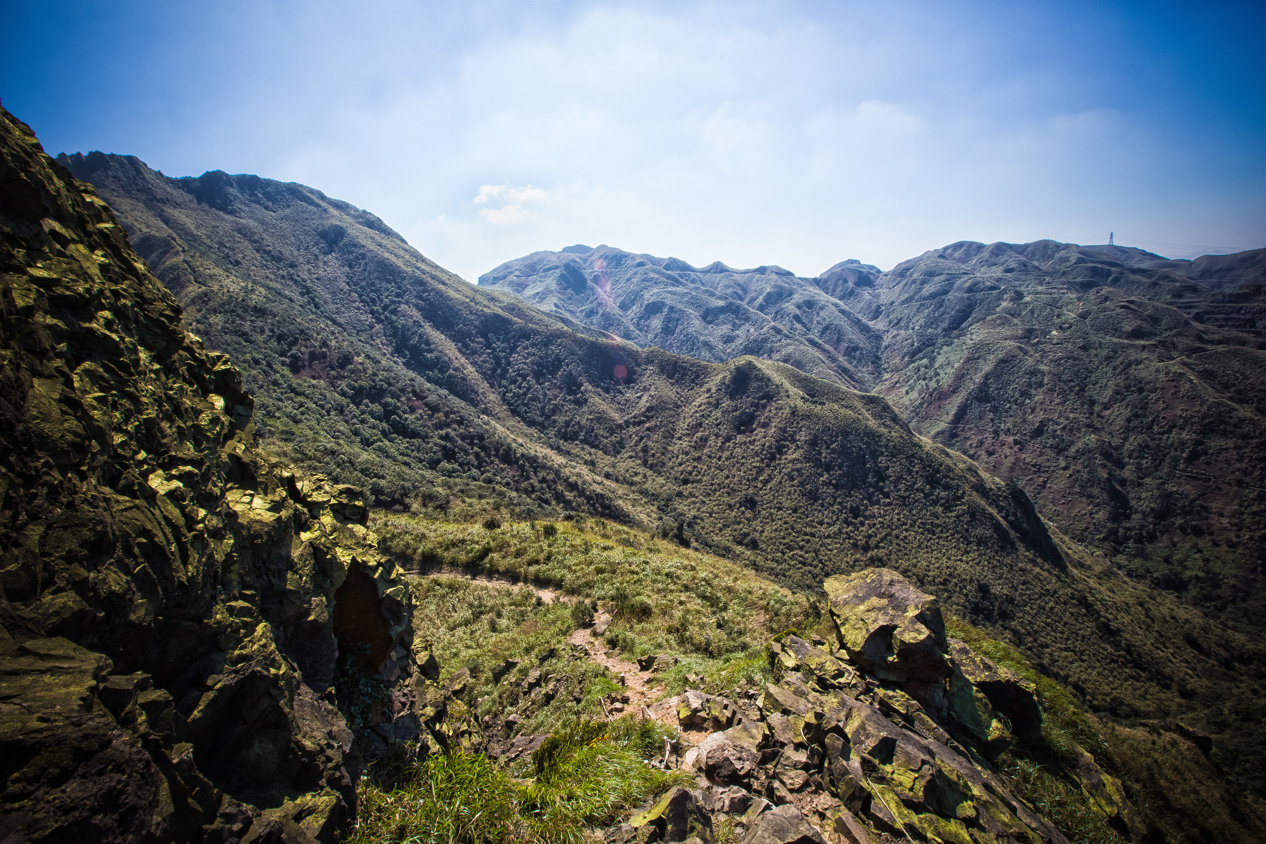
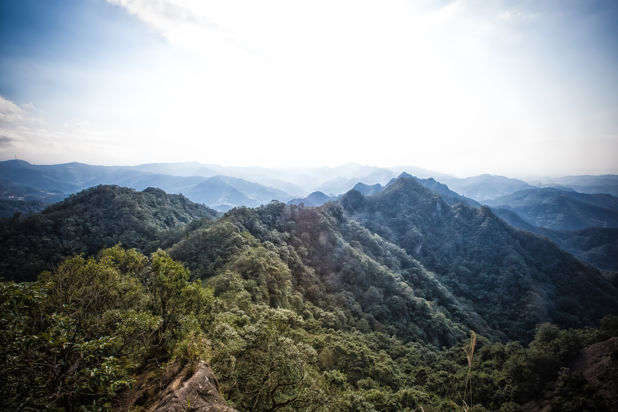
Teapot Mountain (無耳茶壺山) is a popular trail on the North East Coast of the country that has some of the best landscapes available for a day-hike in northern Taiwan - The hike is neither long nor difficult which means it is accessible to hikers of all skill levels with the reward of exceptionally beautiful scenery which your spark an interest in taking up hiking as a hobby!

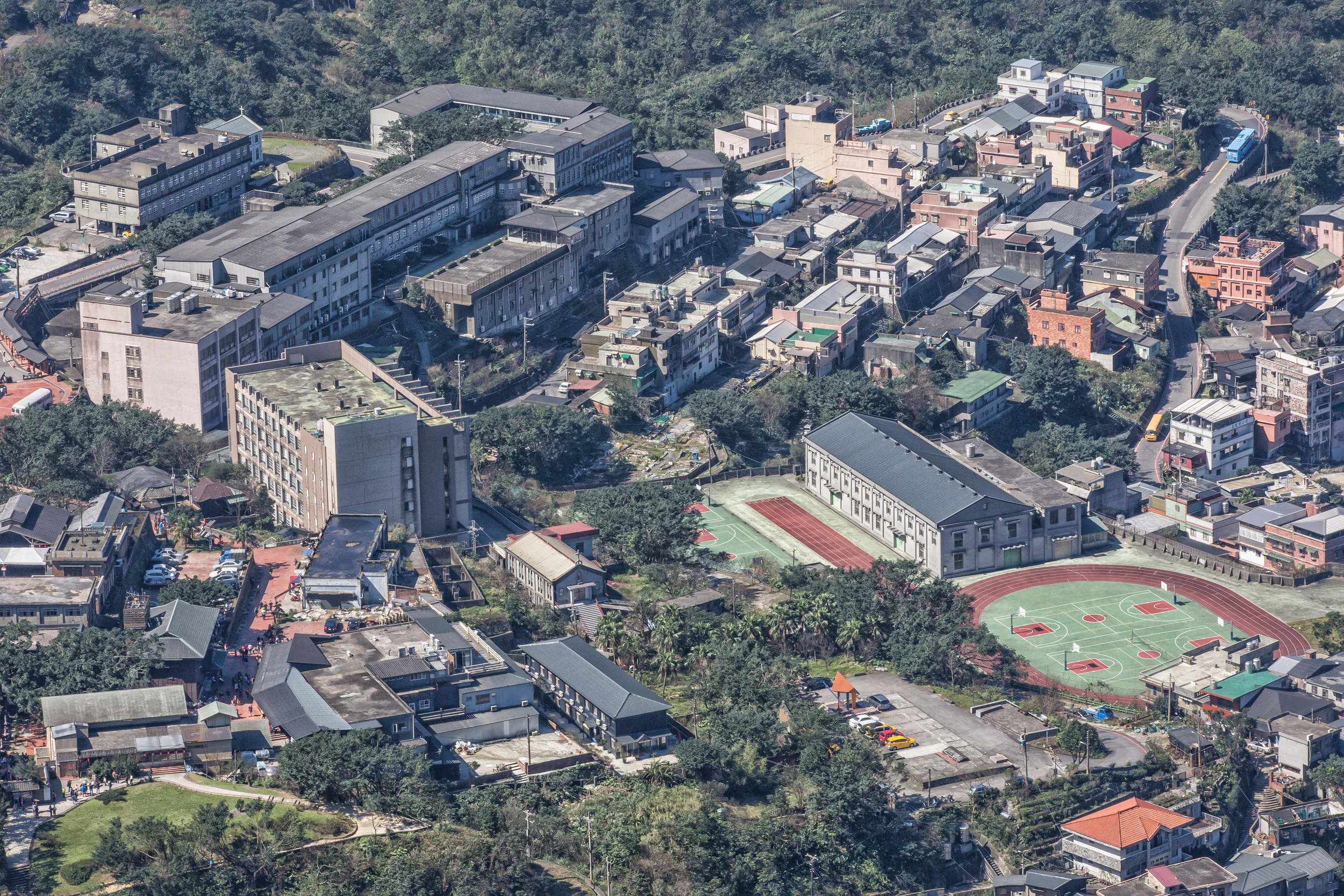
The hike is near Jinguashi (金瓜石) and the popular tourist street in Jiufen (九份老街) which is not very far out of Taipei city. The difficulty of the hike depends on your method of transportation - If you are riding a scooter or driving a car, you can be lazy and pretty much drive all the way up, shaving an hour or so of walking up stairs. If you are relying on public transportation however you need to start with a walk through Jinguashi's Gold Ecological Museum (黃金博物館) and follow the markers that indicate where the mountain trail starts.


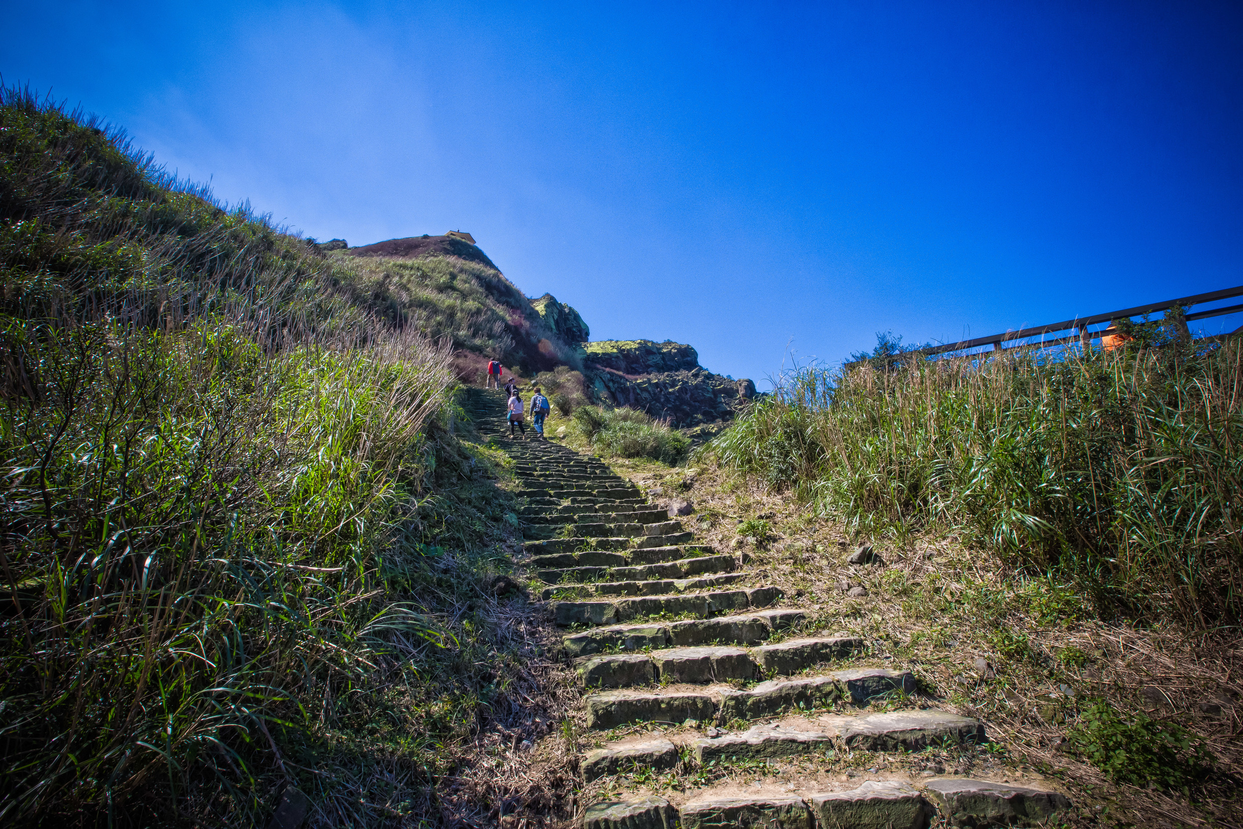
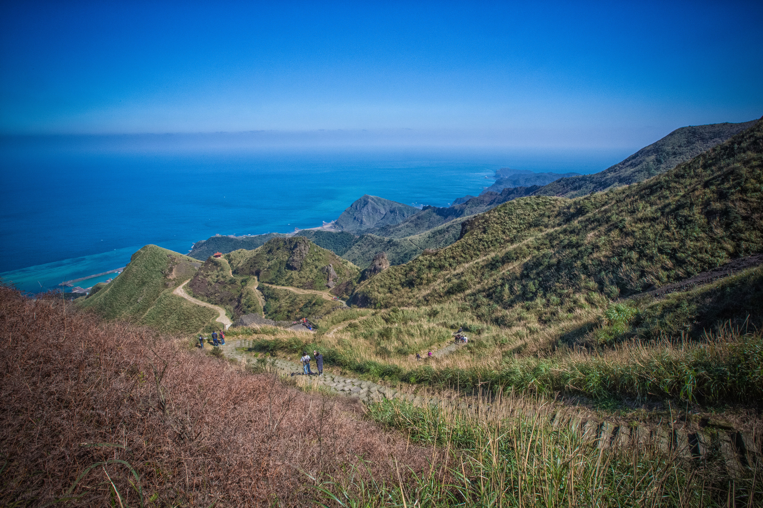
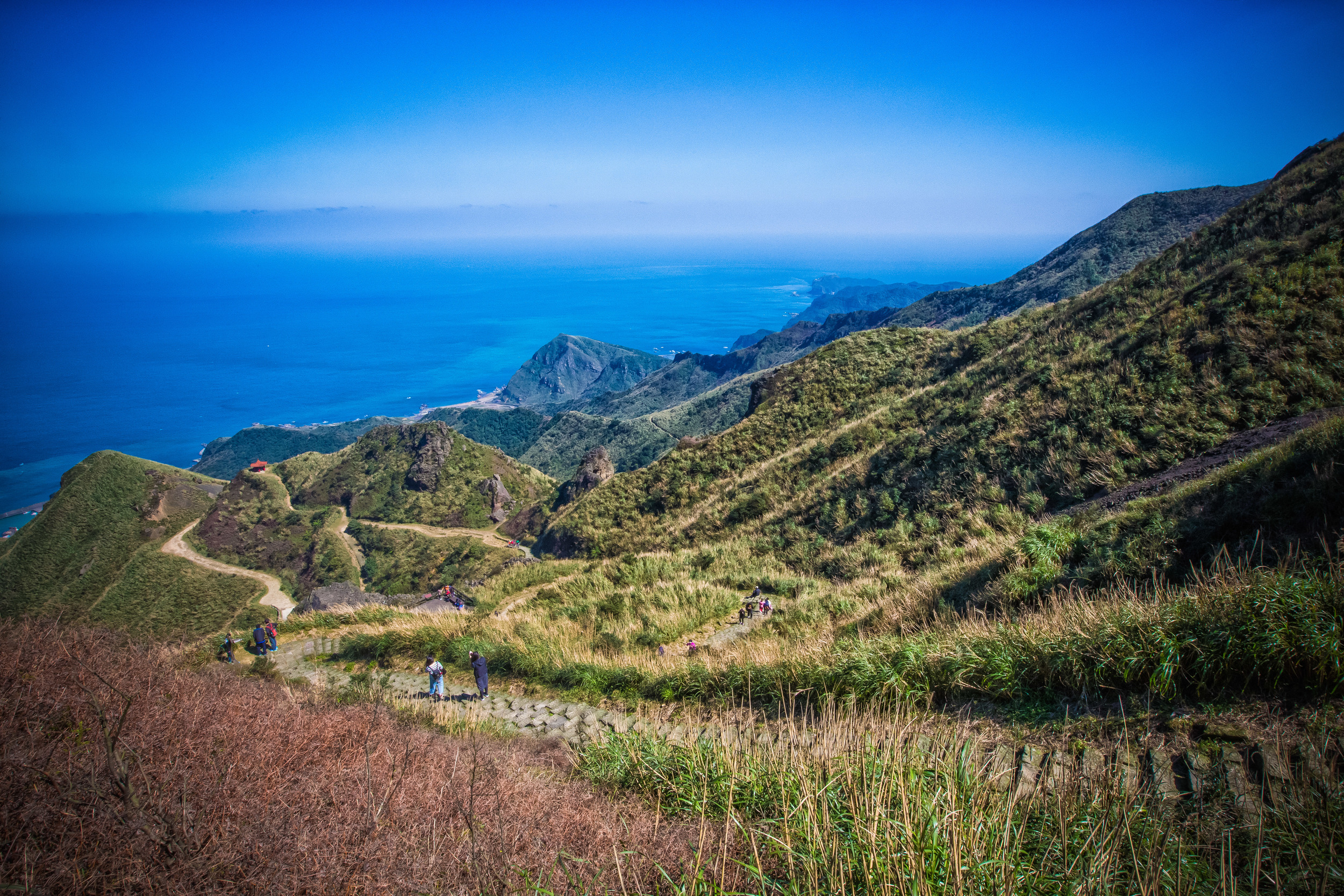
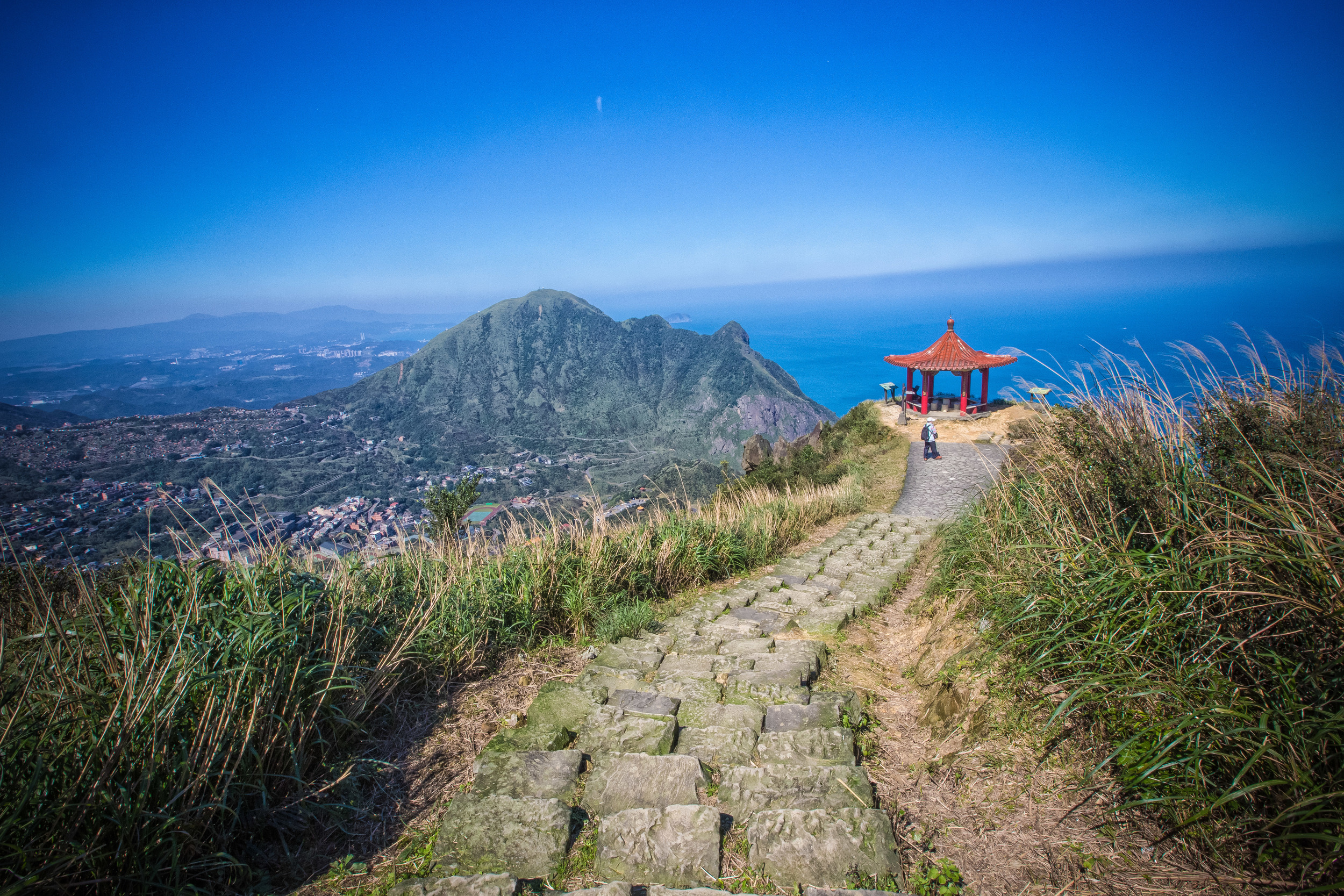
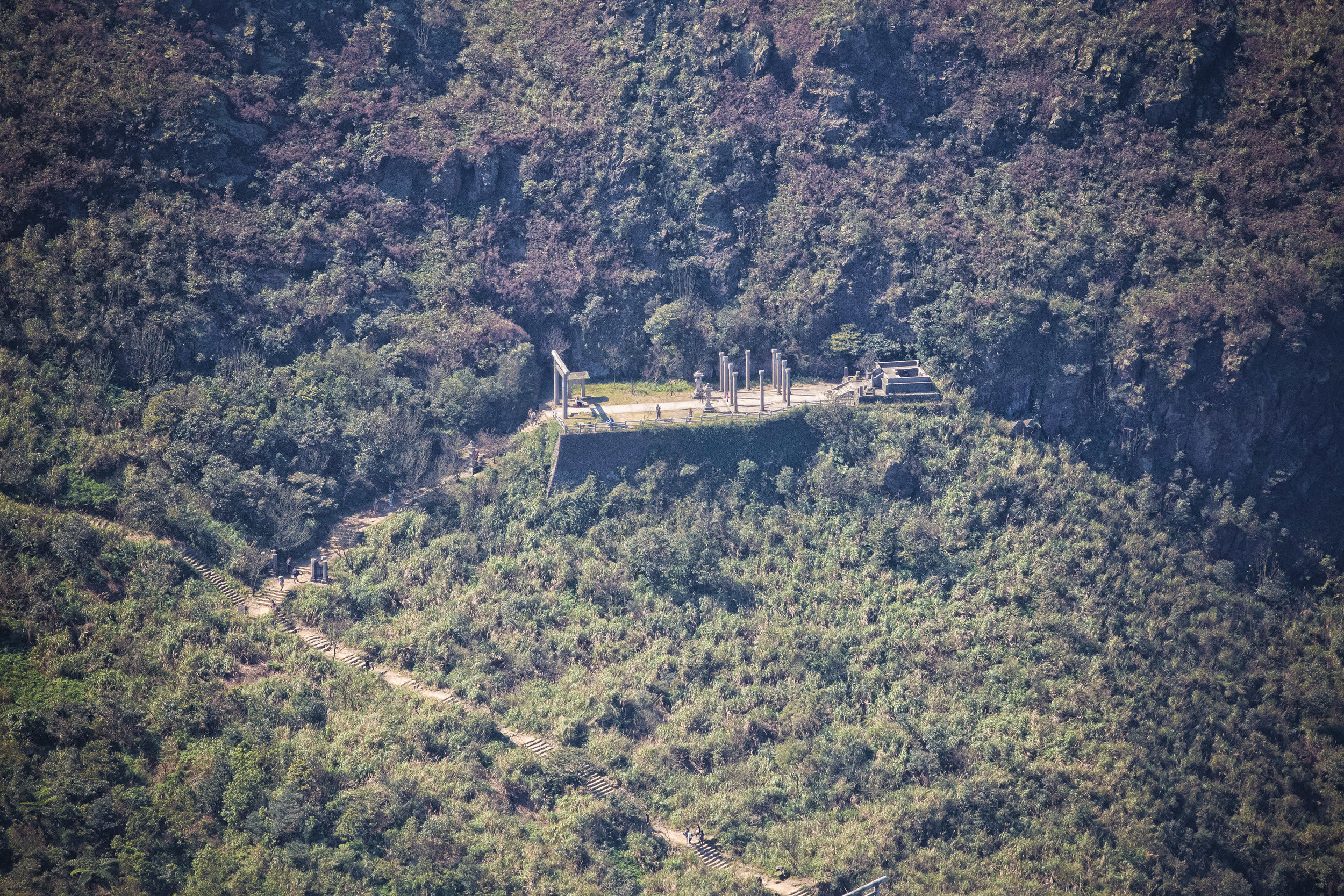
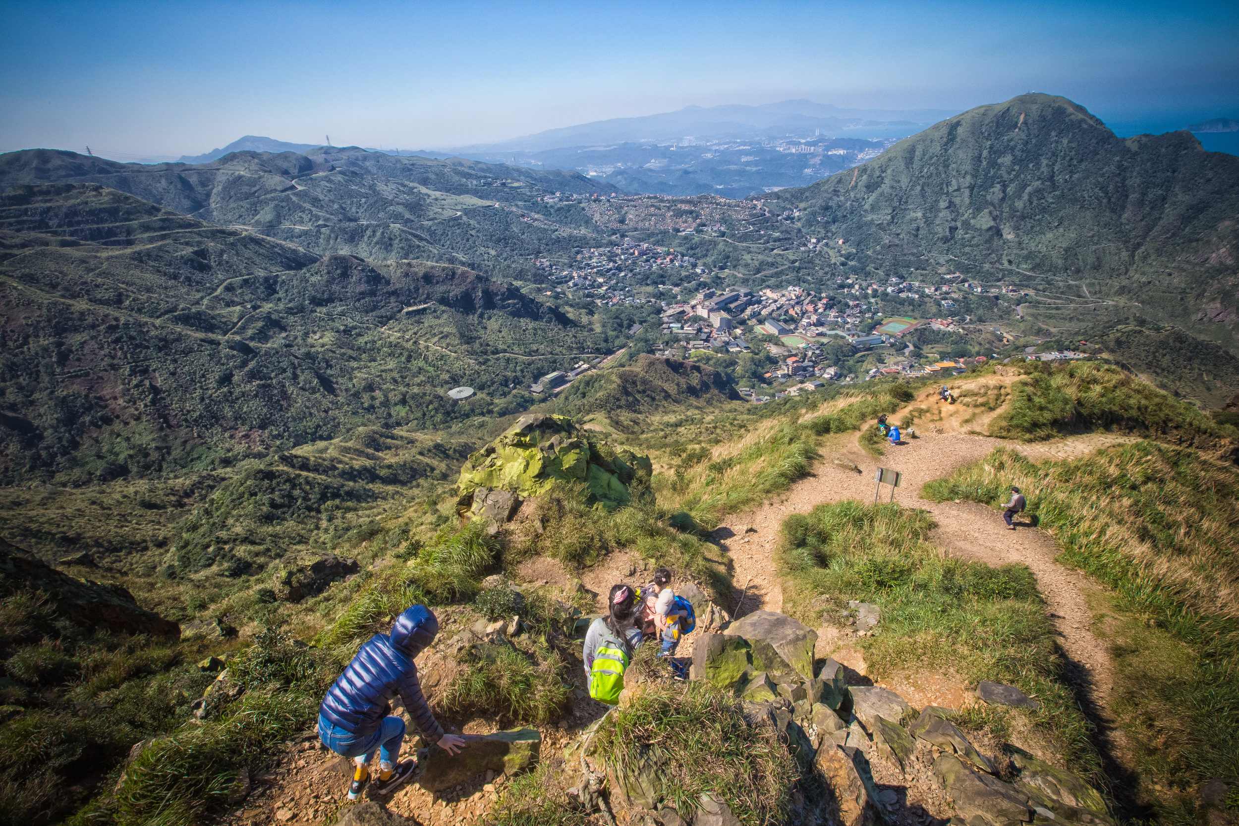
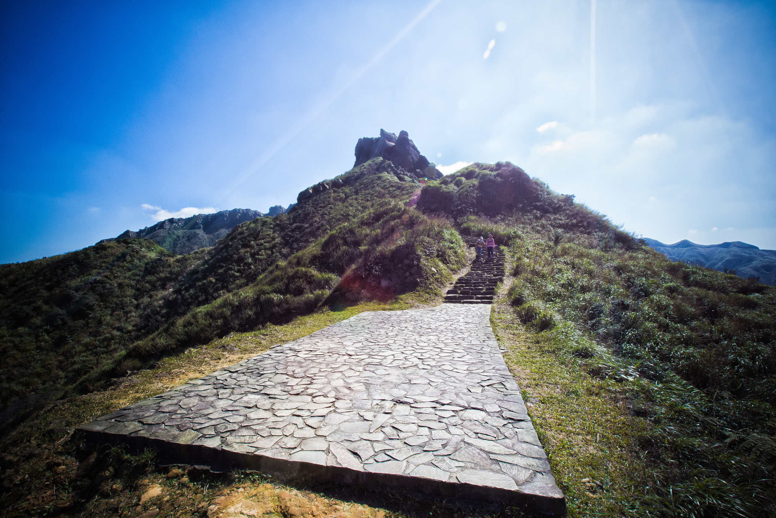
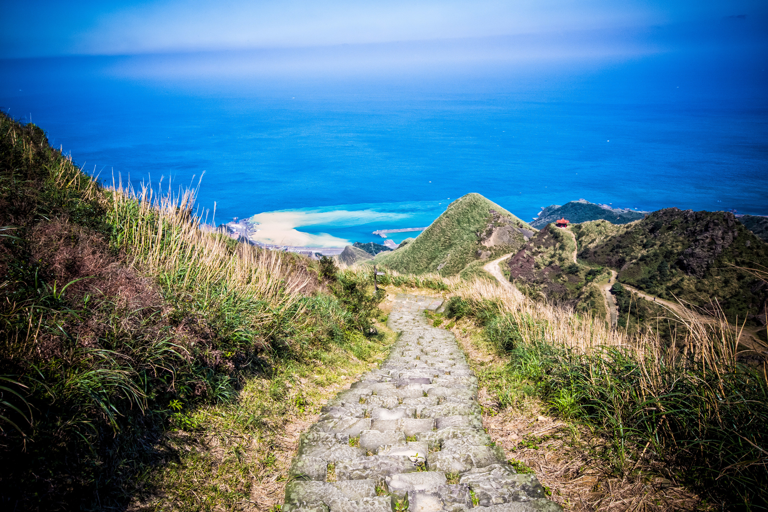
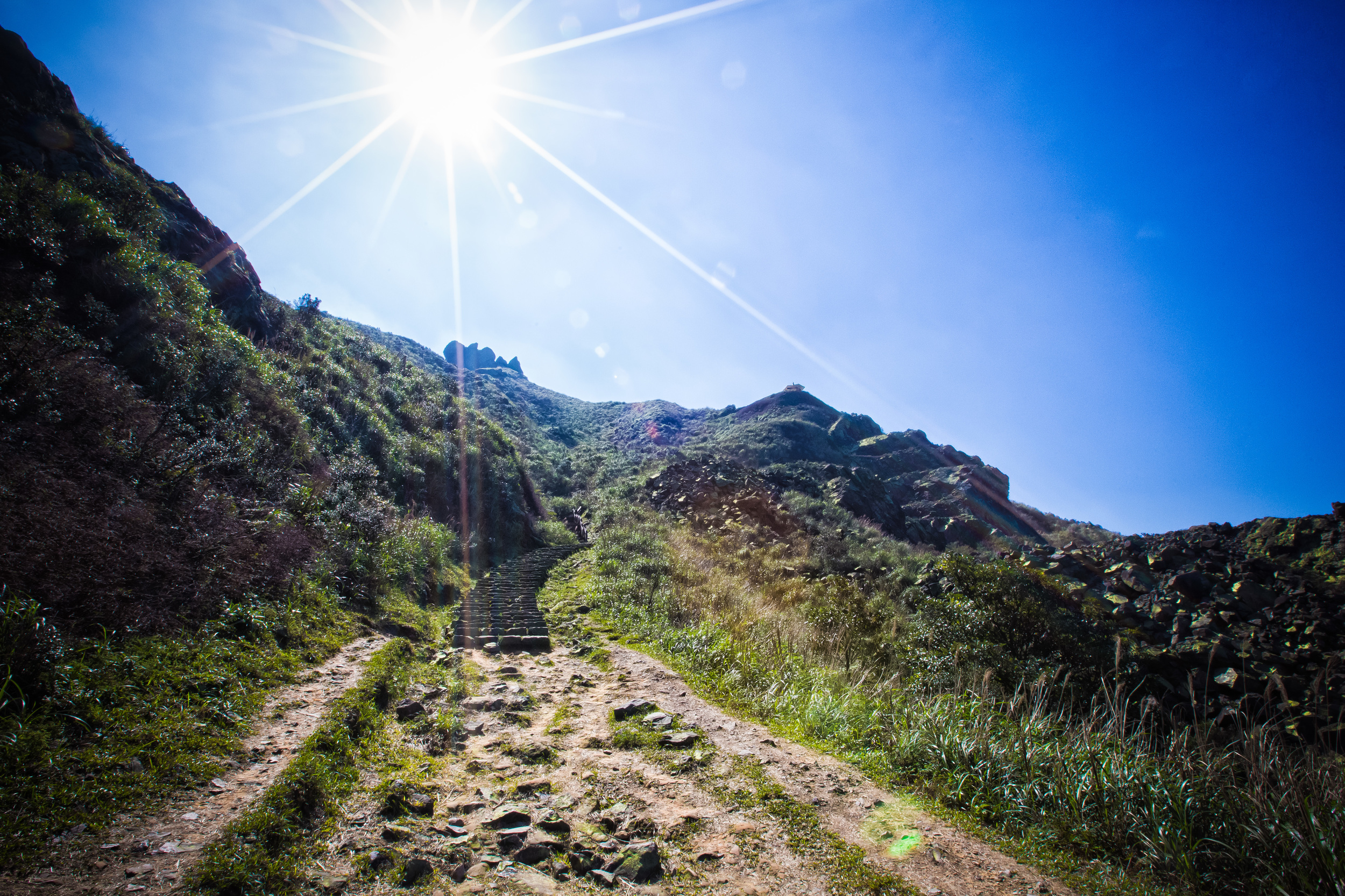
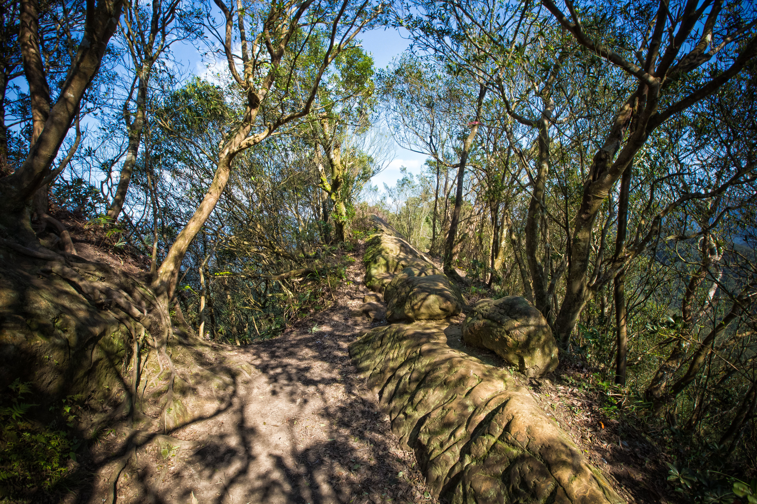
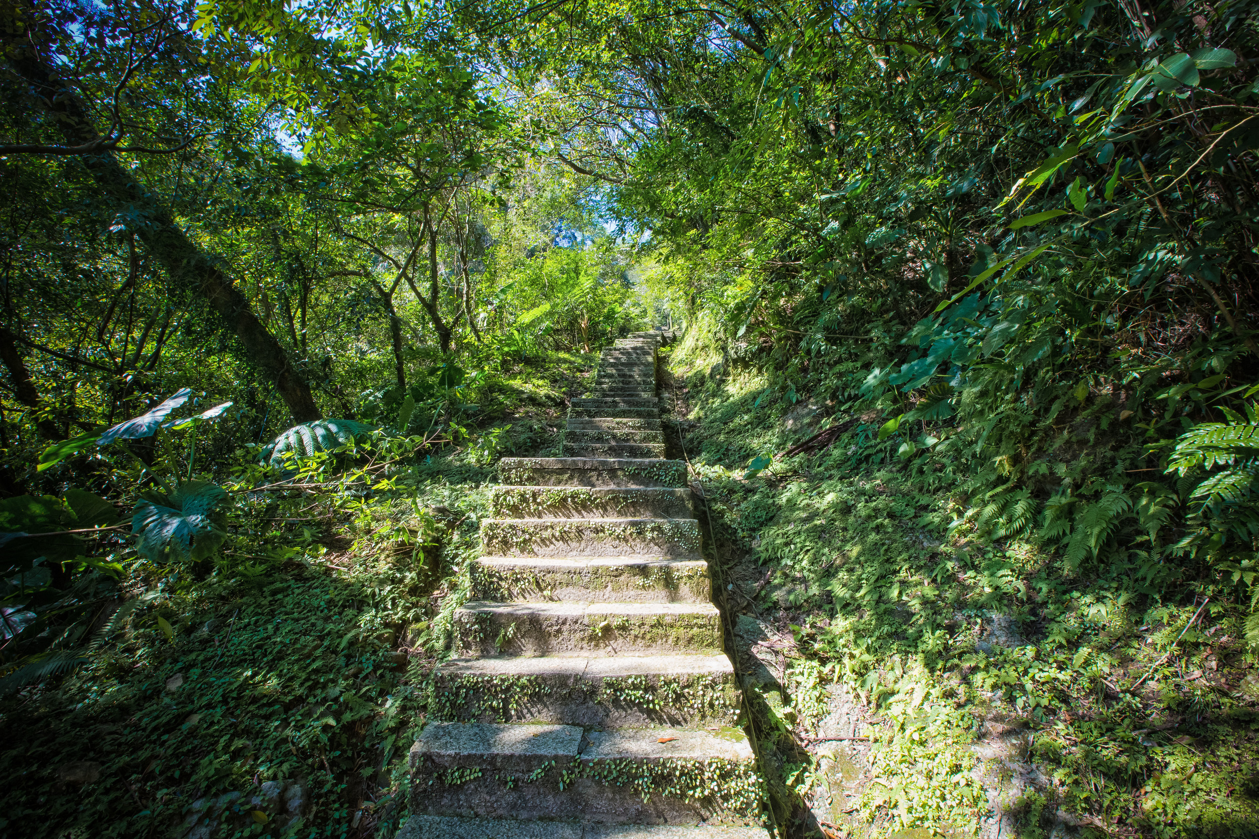
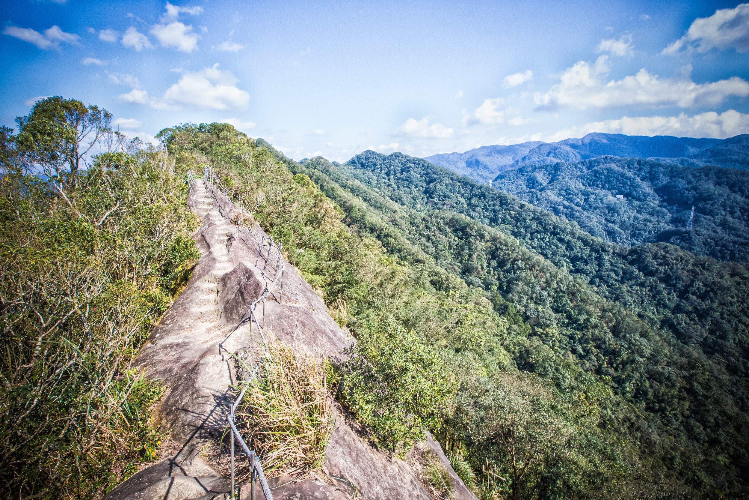
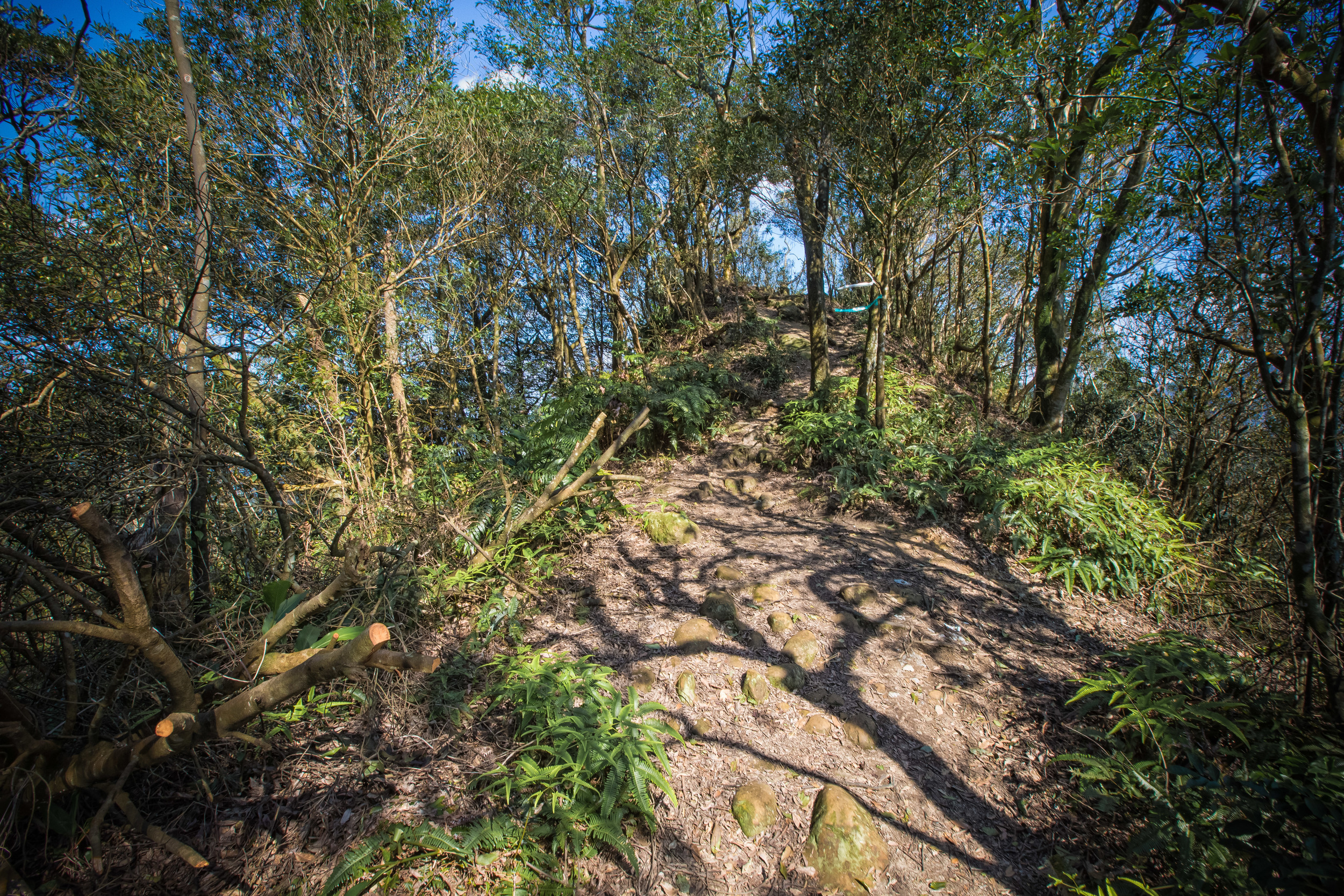
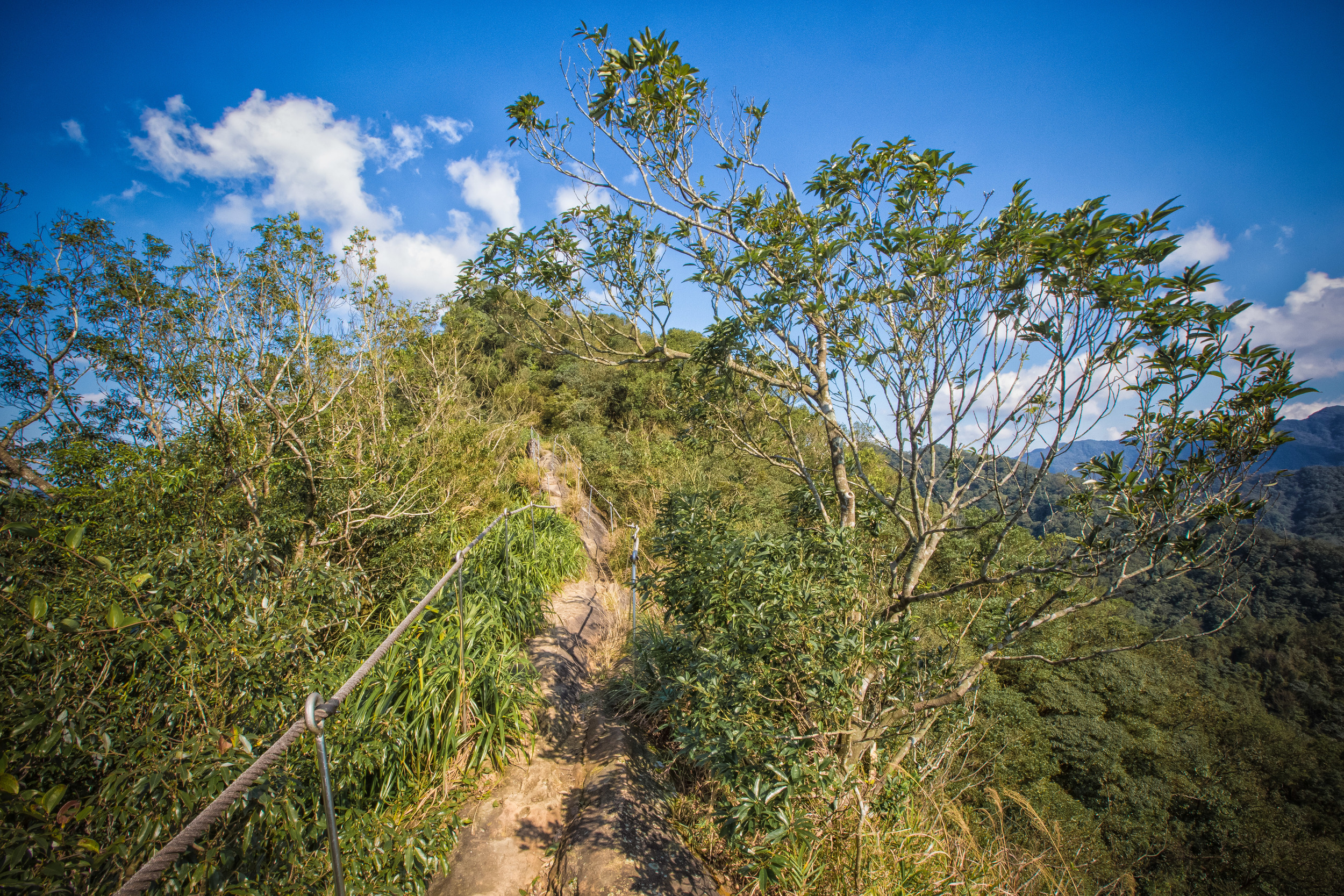
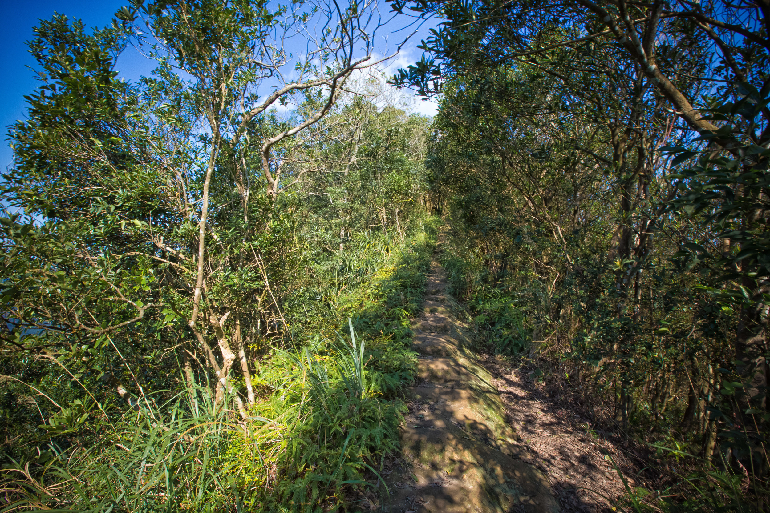
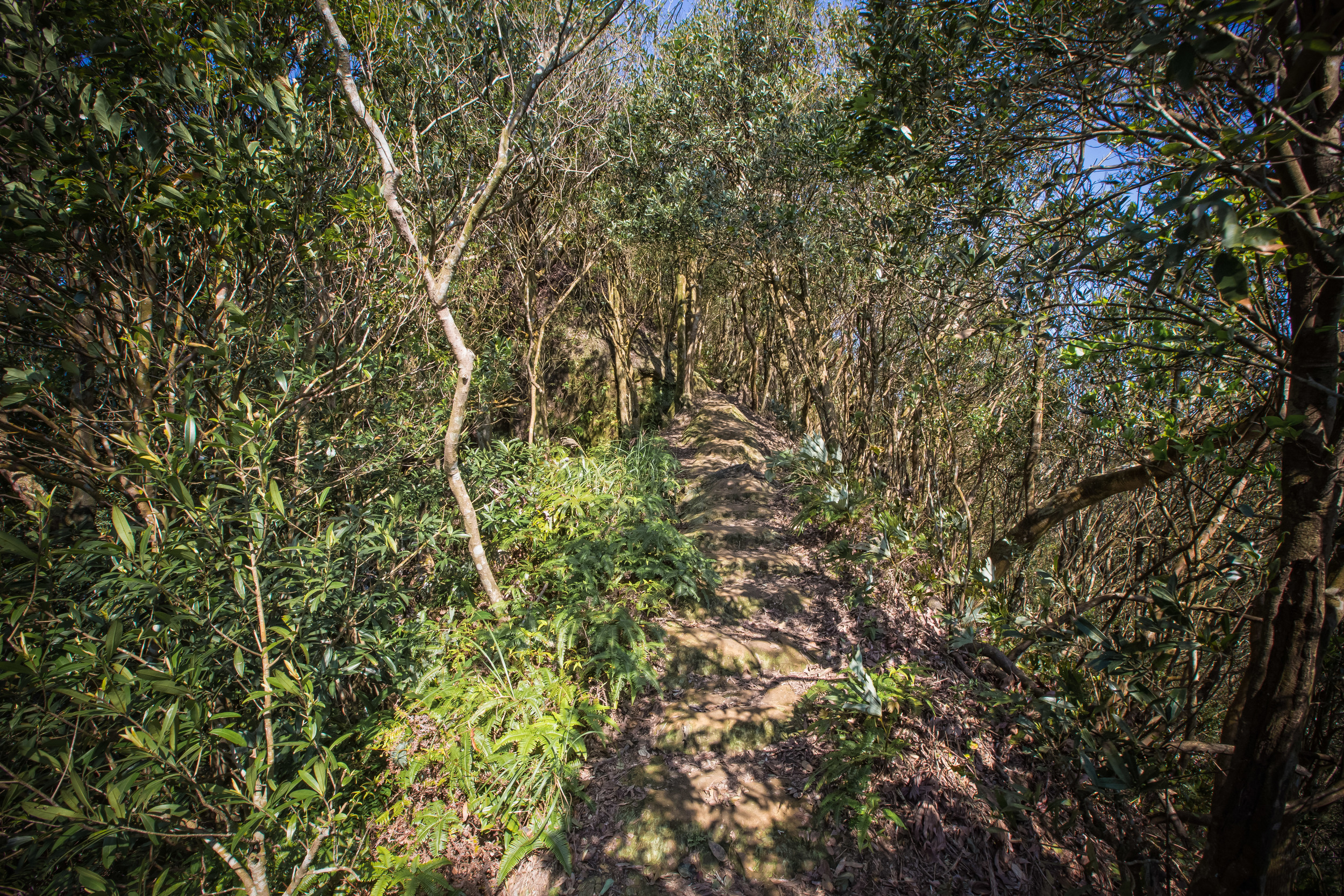
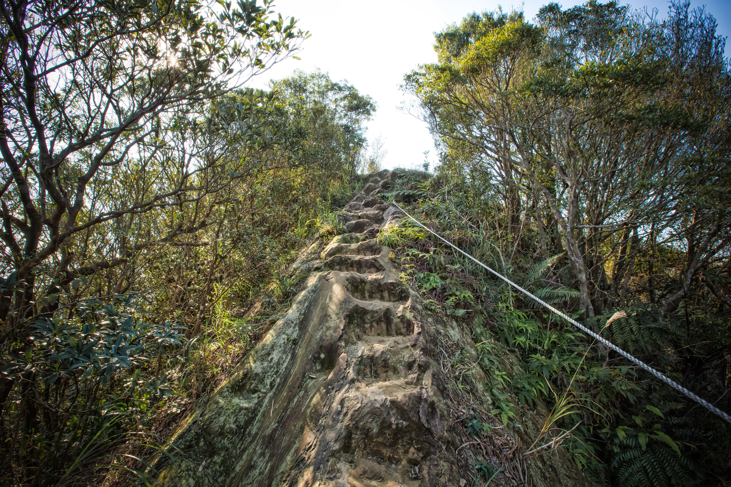
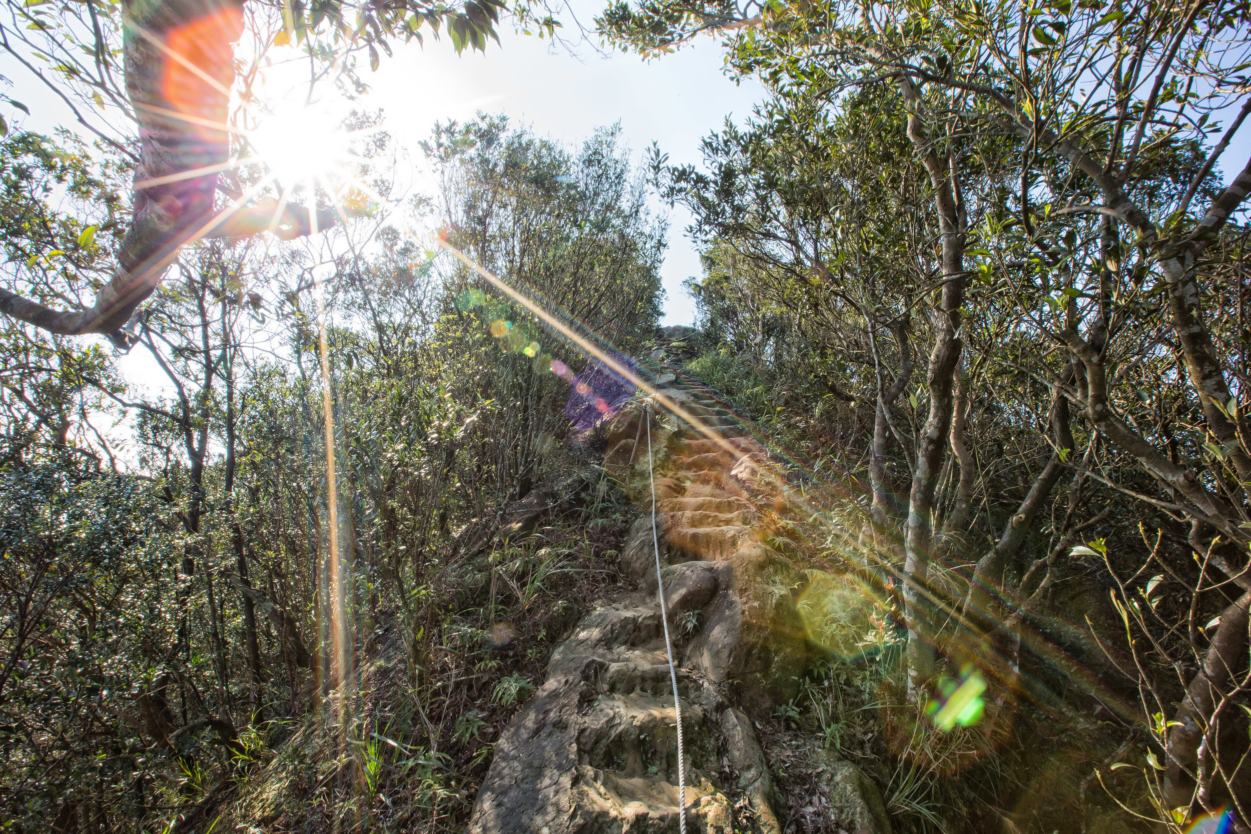
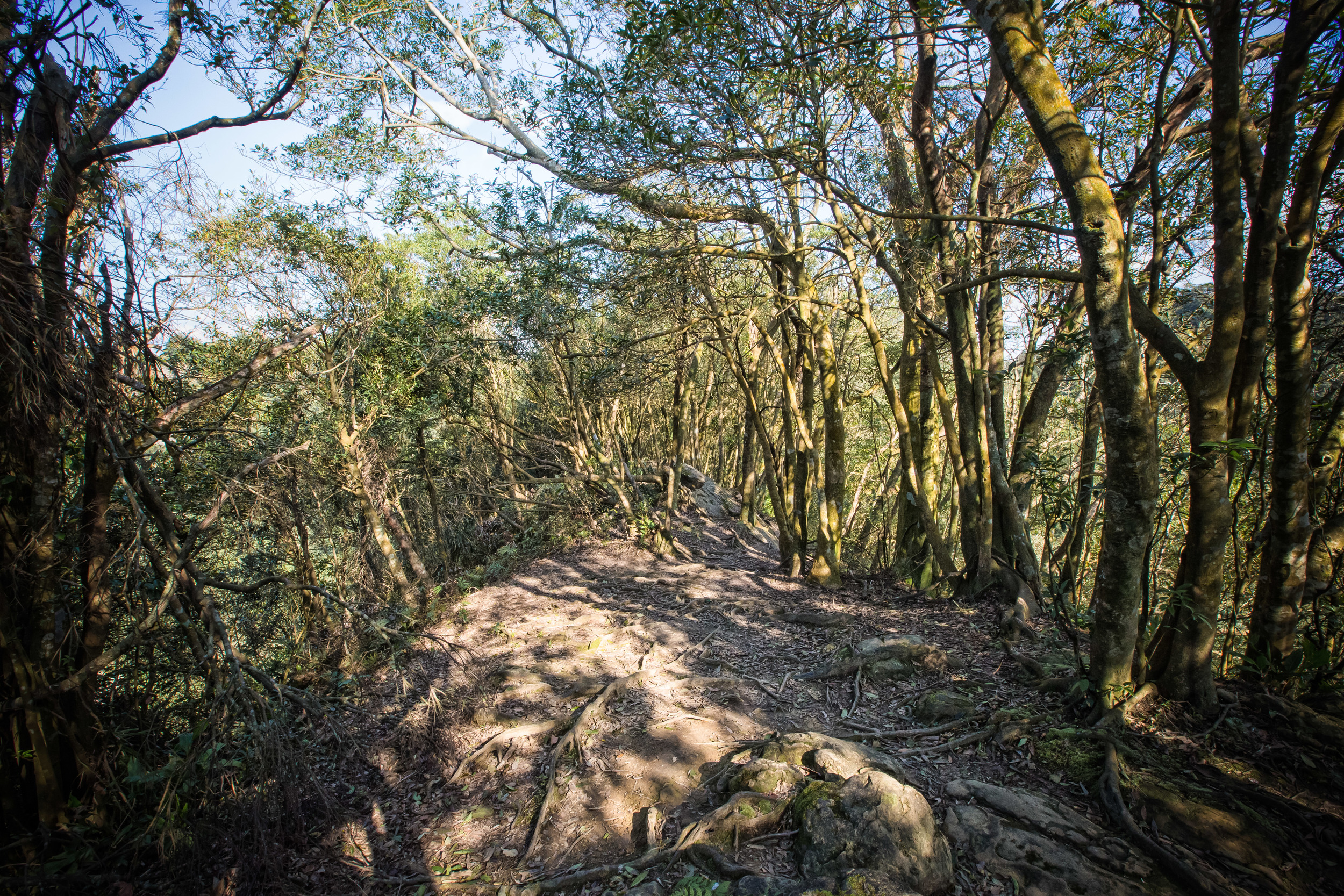
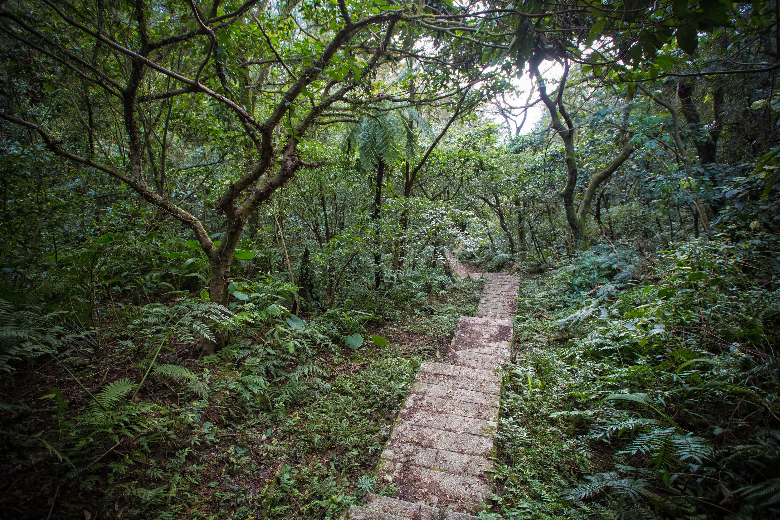
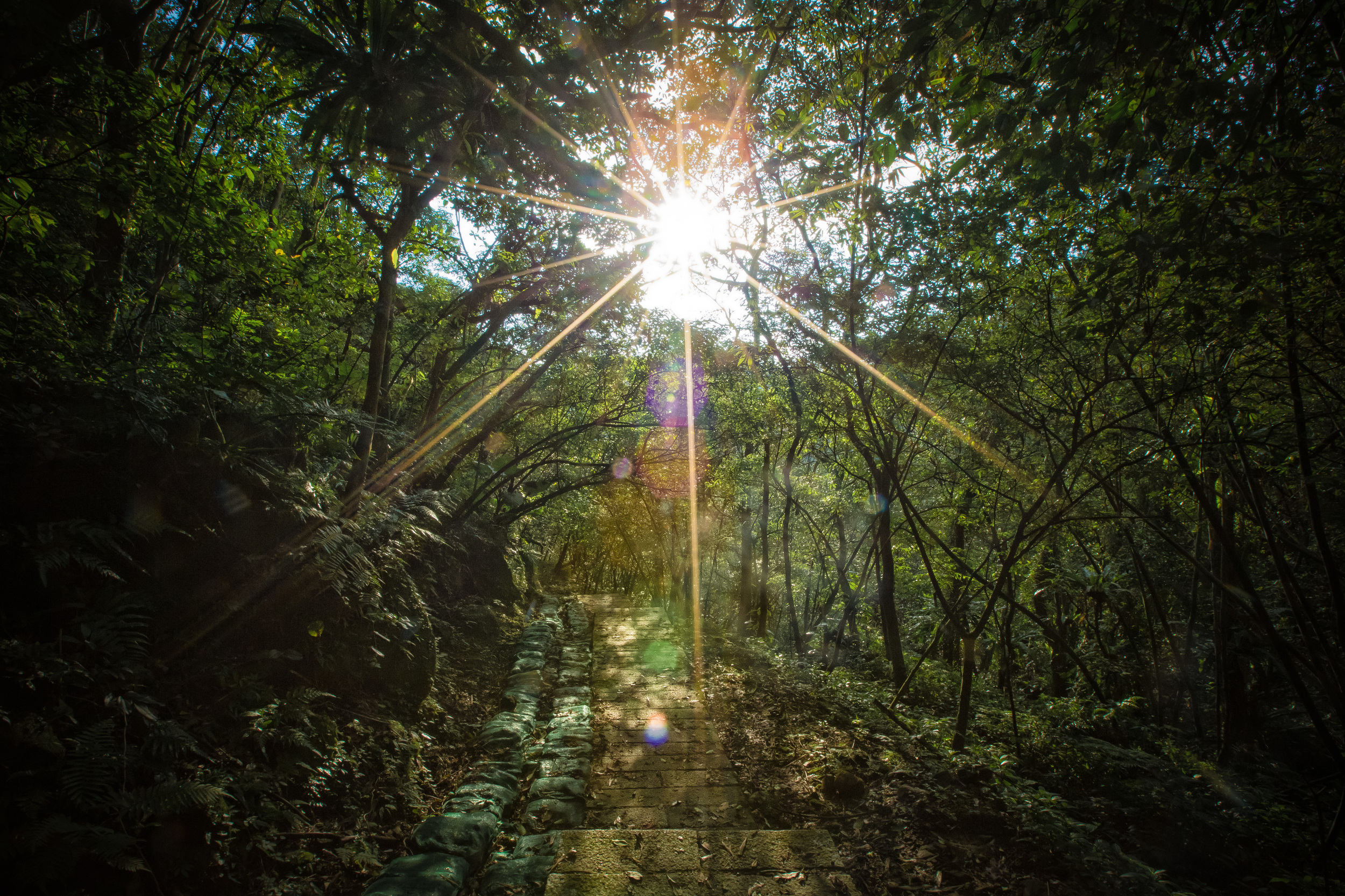
Once you've arrived at the trailhead it isn't a very long hike up to the "Teapot" and most people have no trouble arriving in less than 30 minutes. The trail consists of a set of well-constructed stairs that lead you up to the peak of the mountain and then from there, further on to Banping Mountain (半屏山) if you're doing the full hike. The hike isn't a steep one and there is a very gradual incline making it easy for anyone to complete.

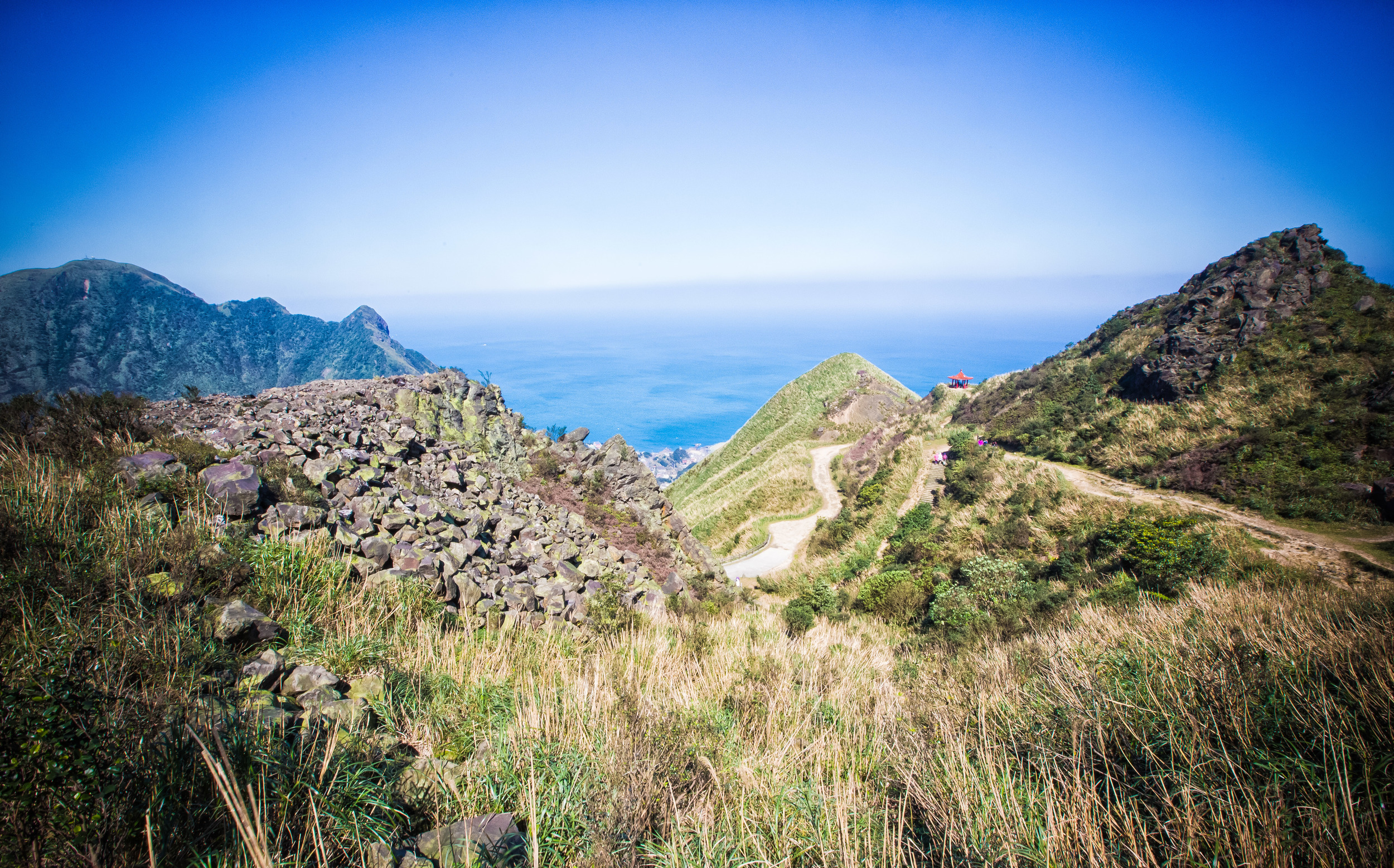
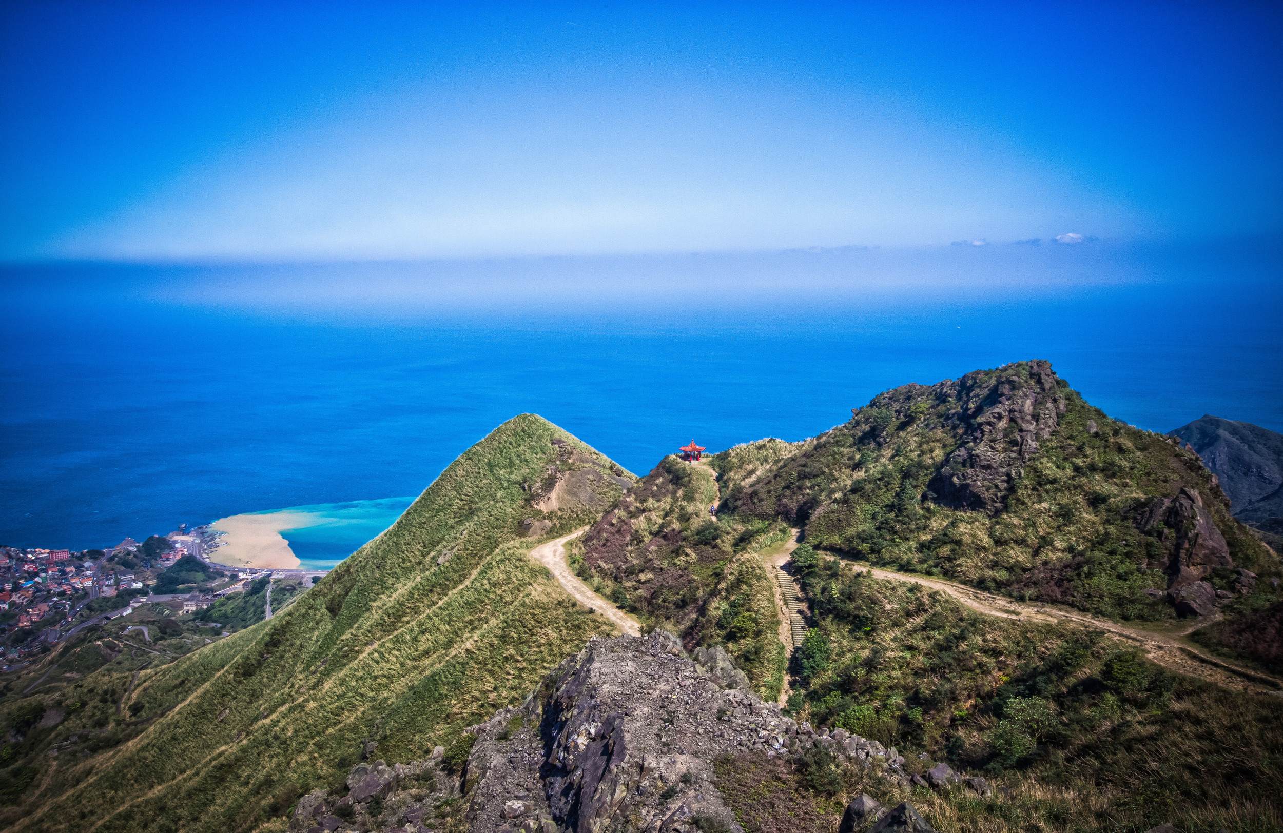
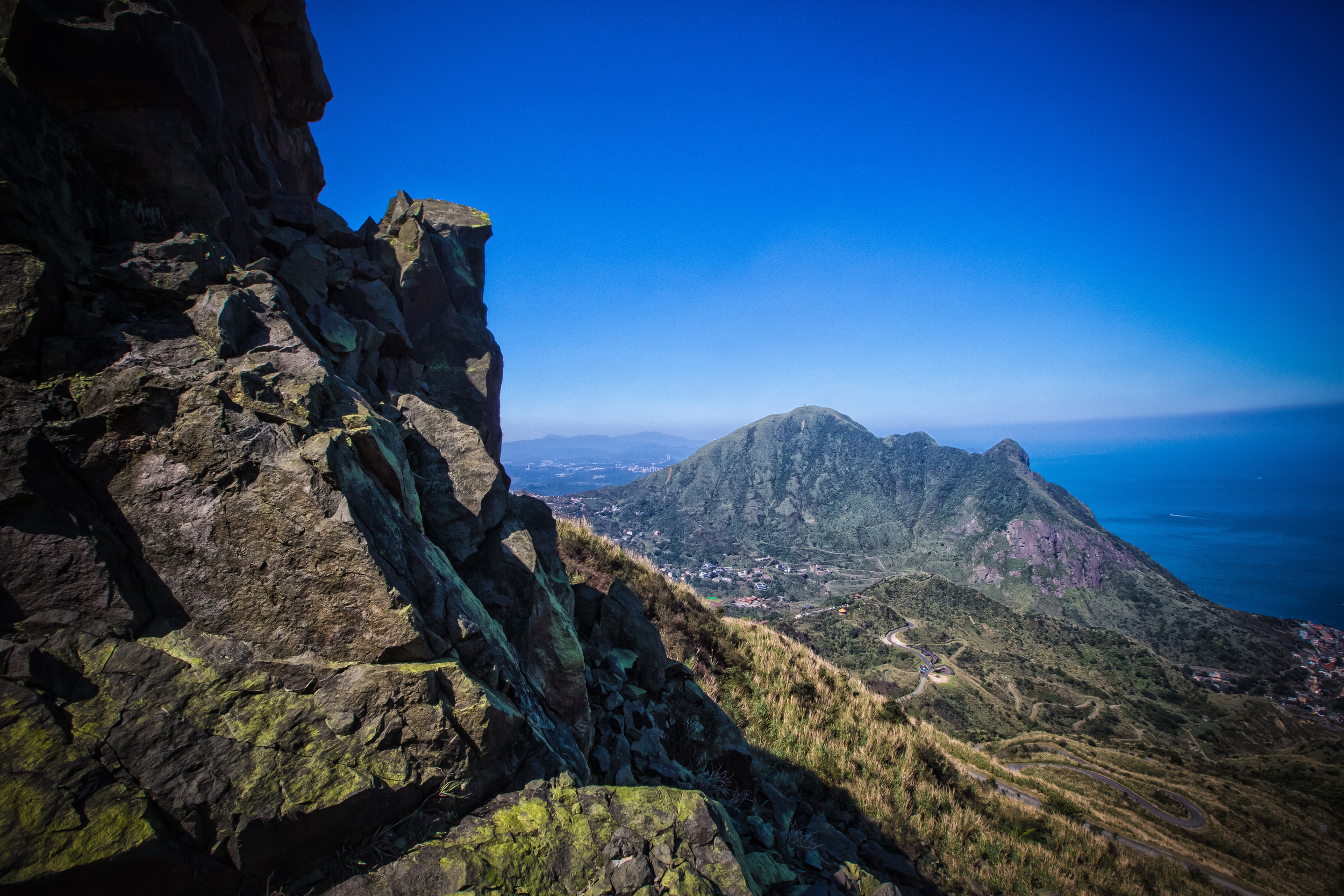
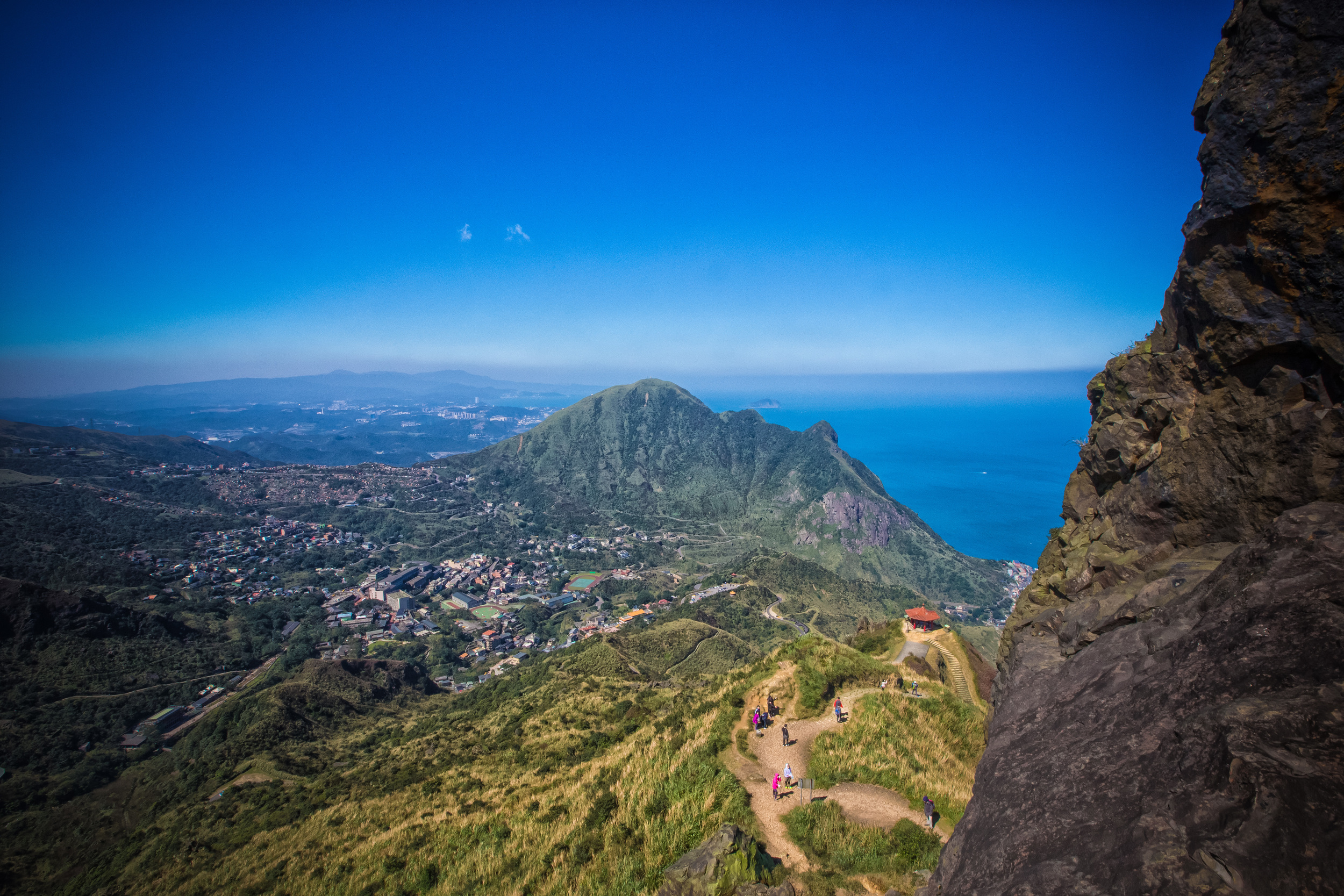
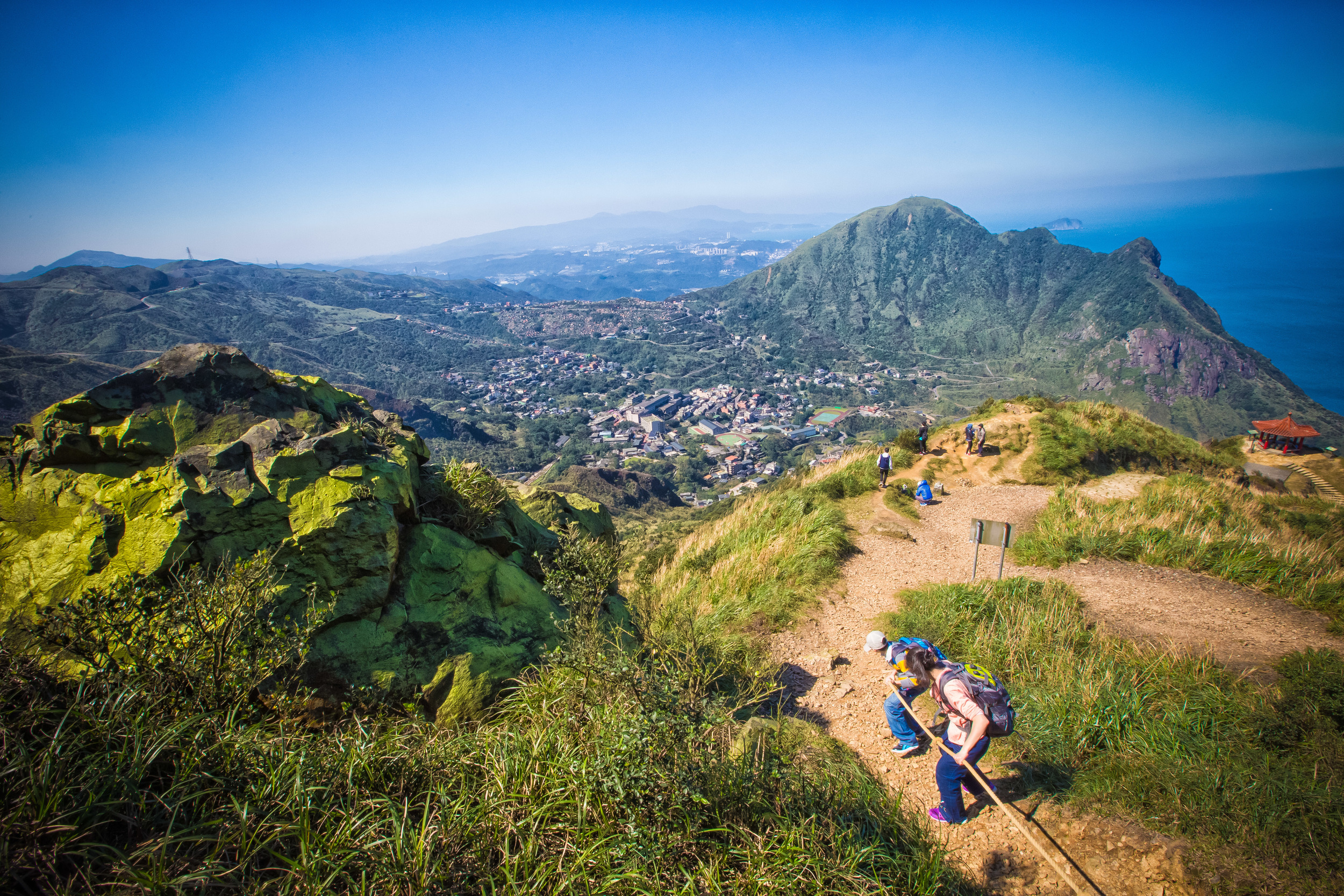
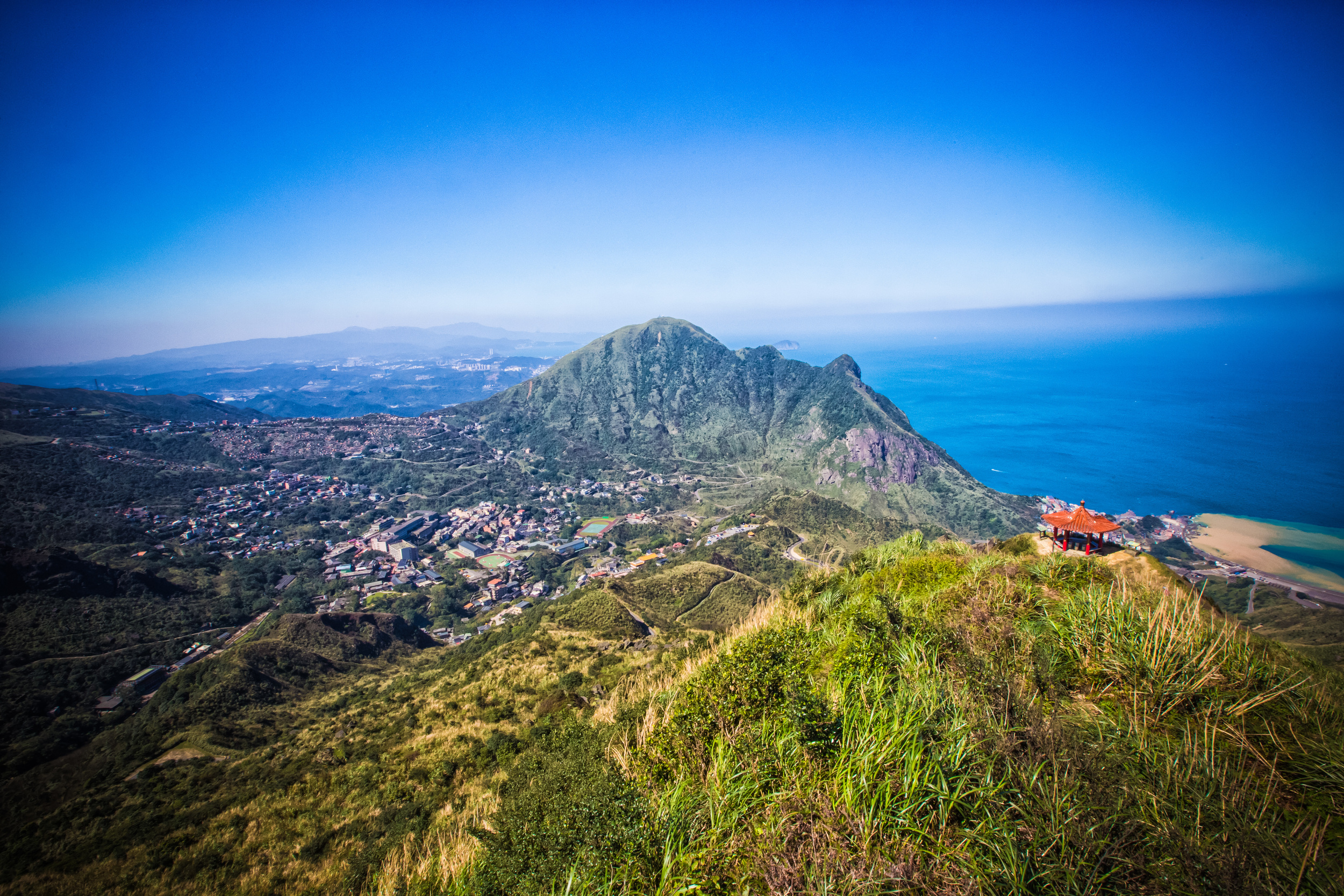
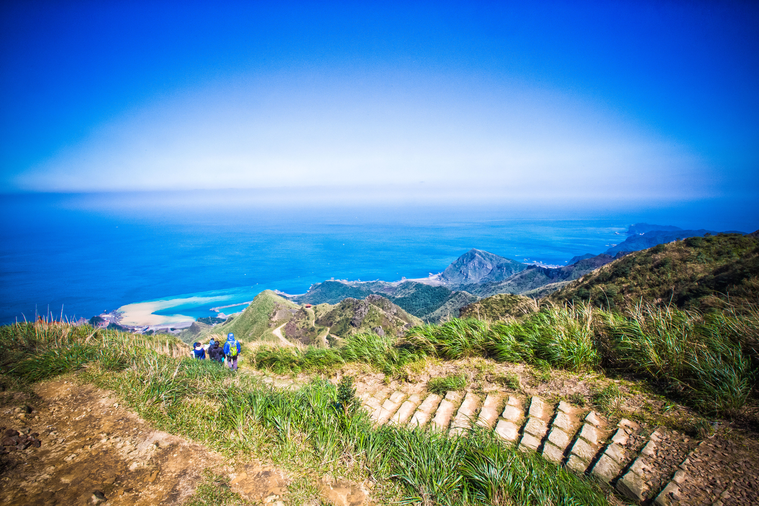
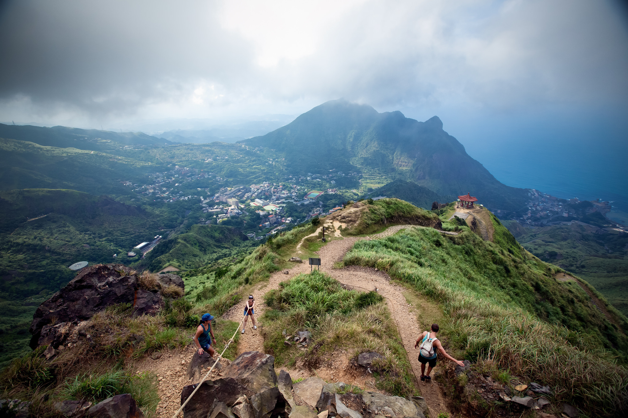
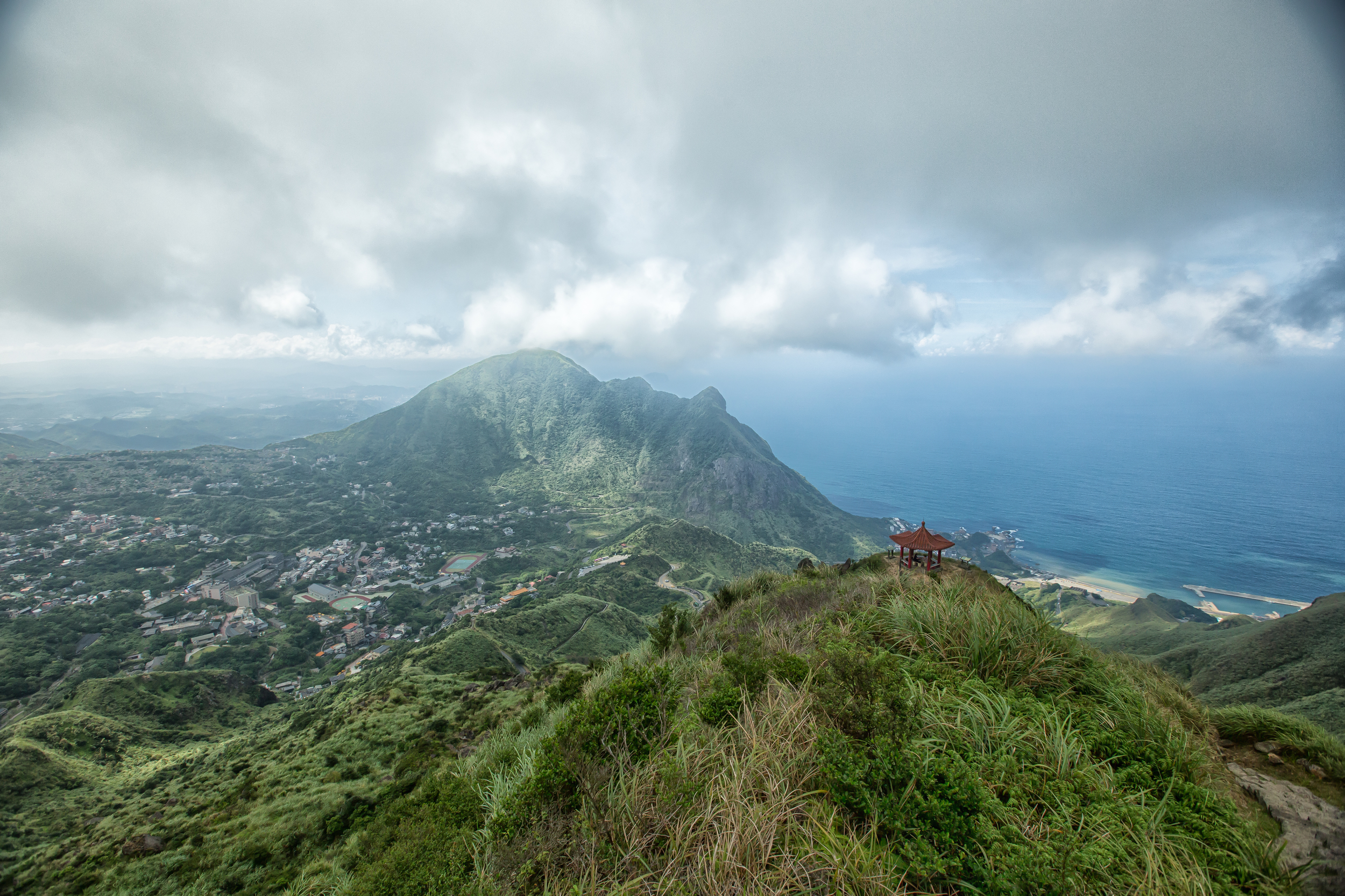
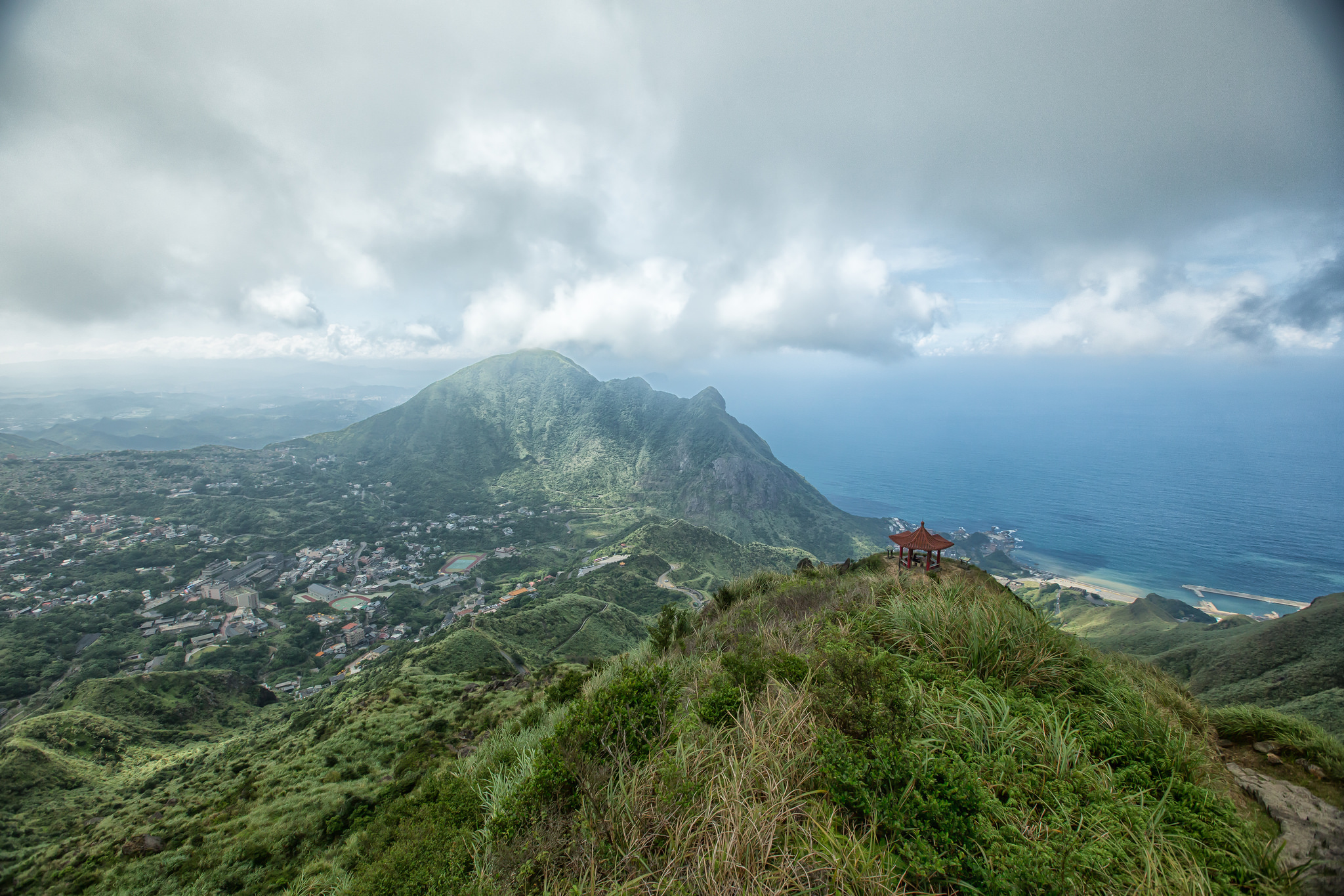
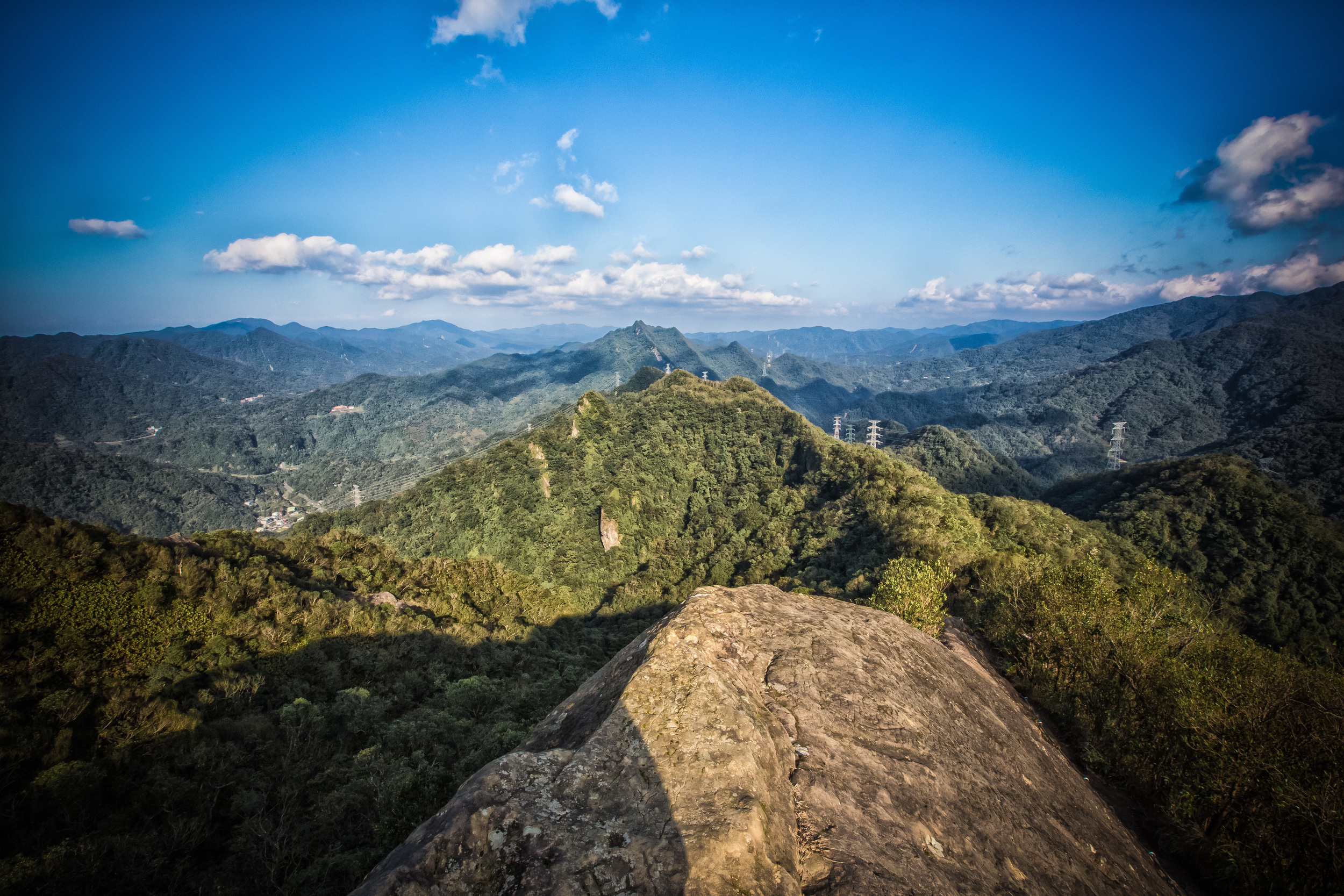
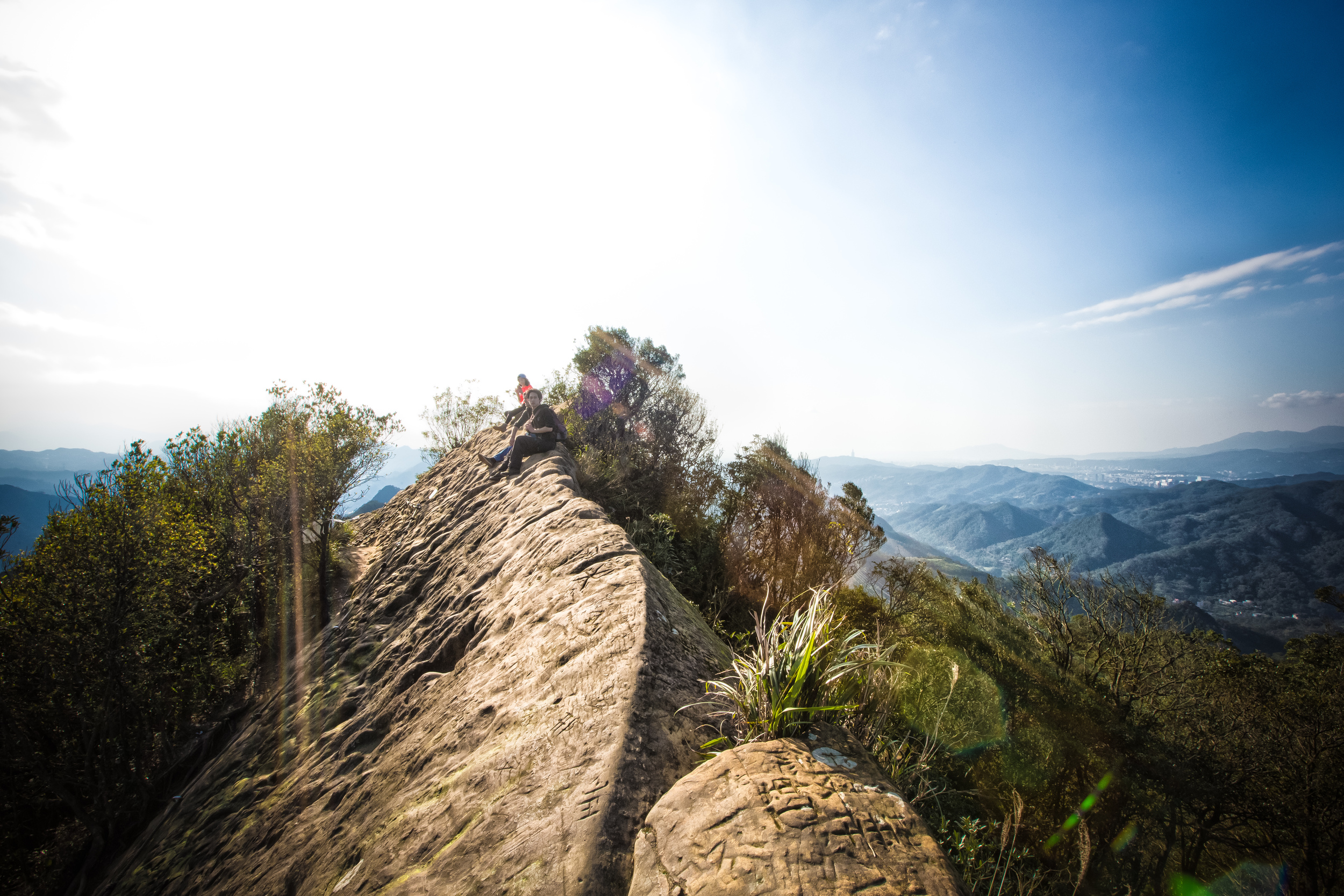
After a short time of hiking and enjoying the amazing scenery, you'll arrive at a rest stop that overlooks a beautiful cliff on one side and the teapot on the other. For some people, the rest stop acts as the "peak" of the mountain as they can see the scenery on the North Coast and they are close-enough to the teapot to say that they were there.

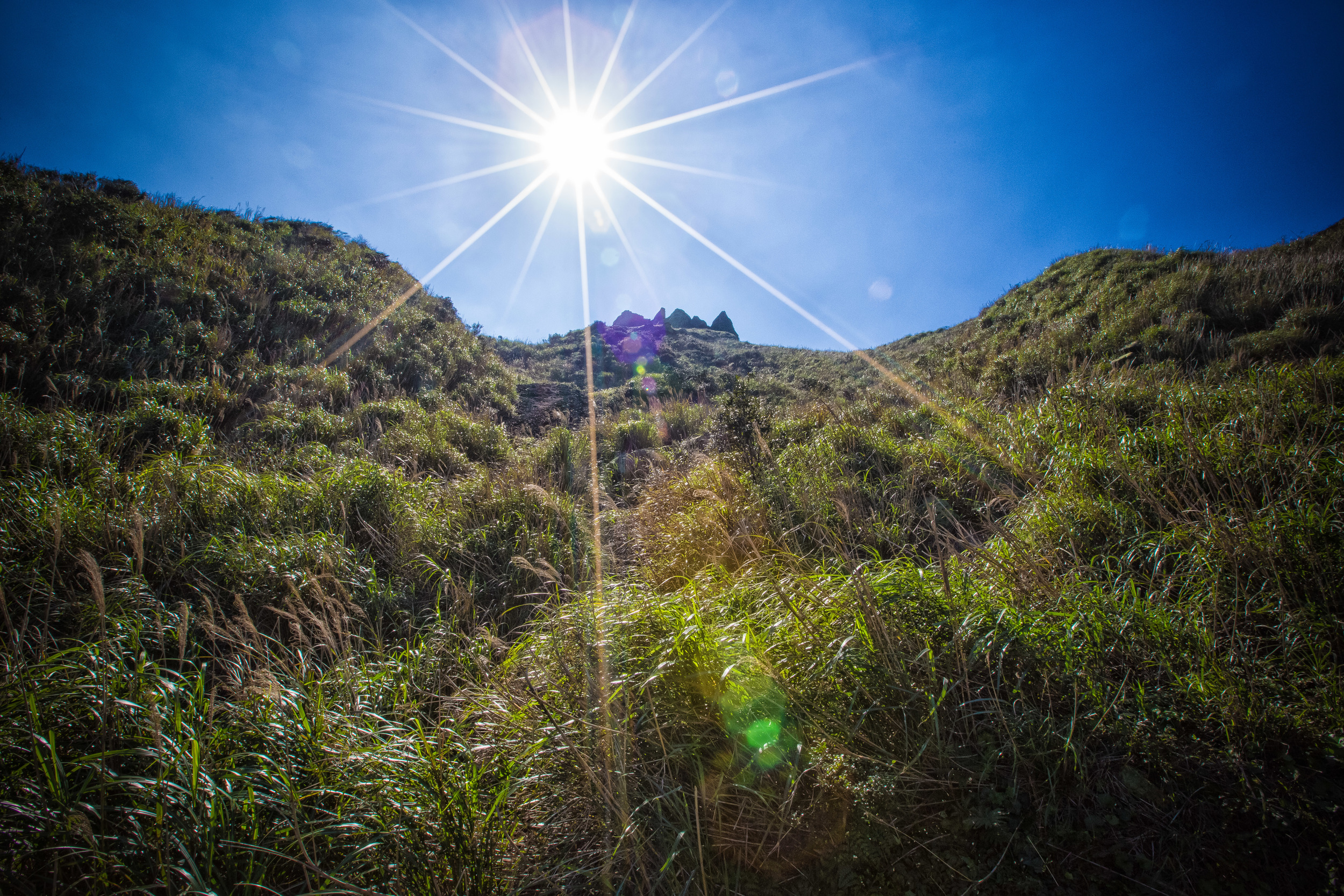
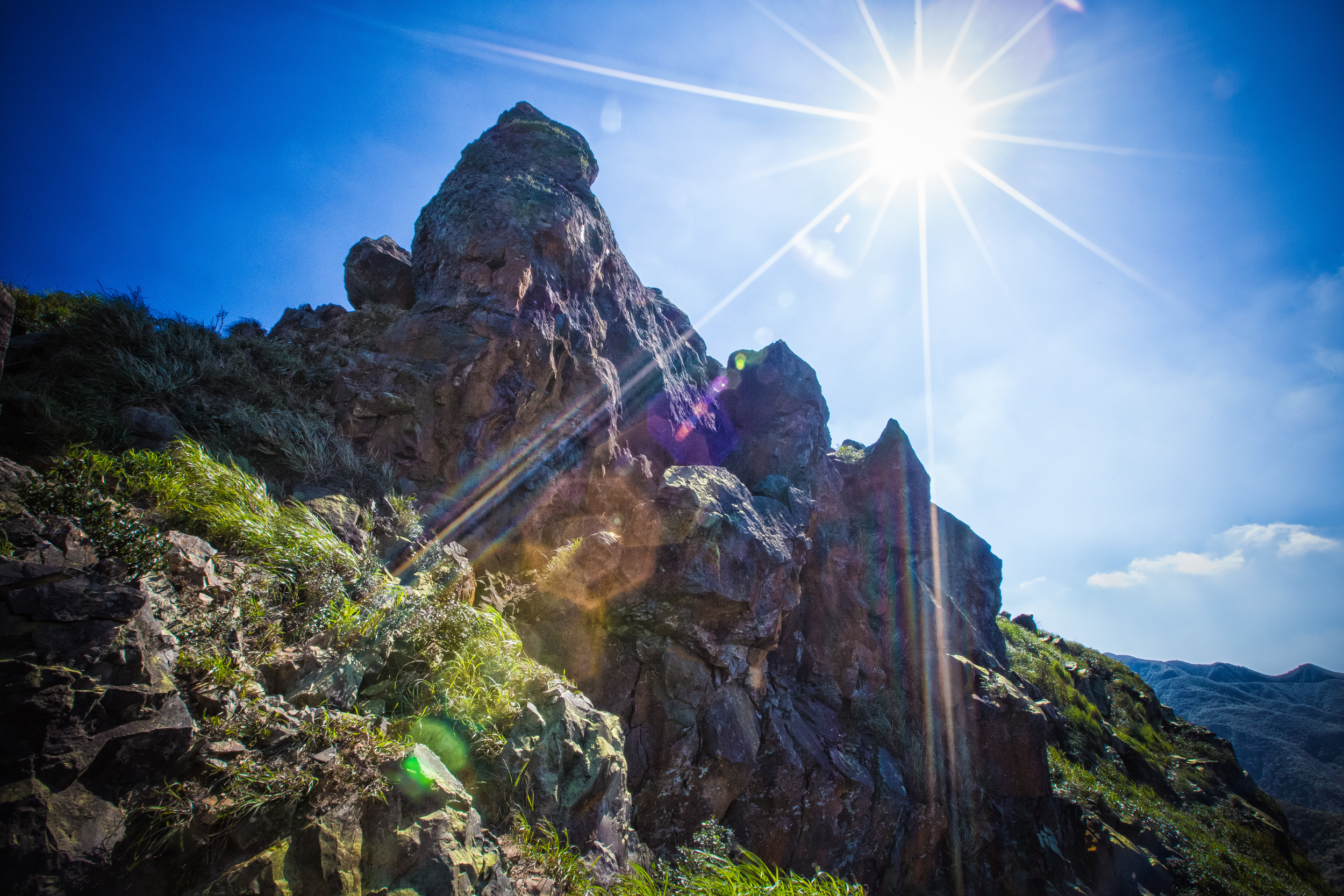
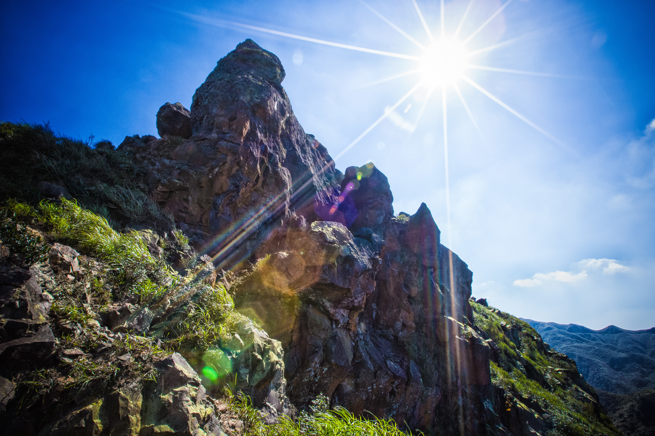
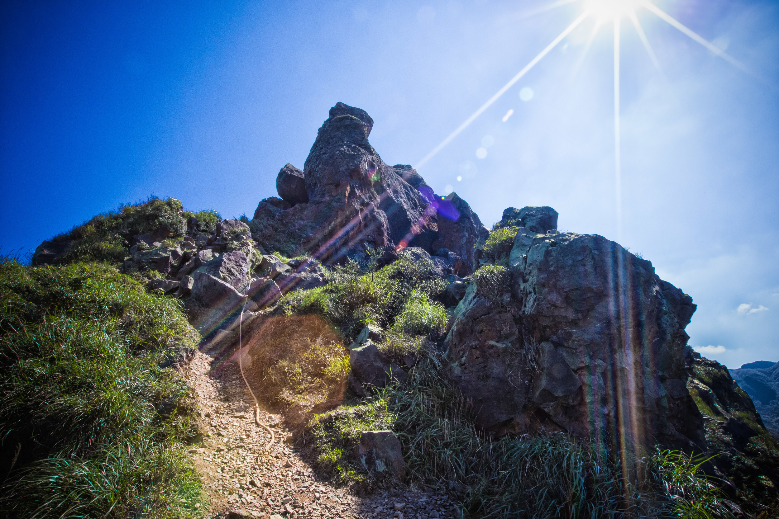
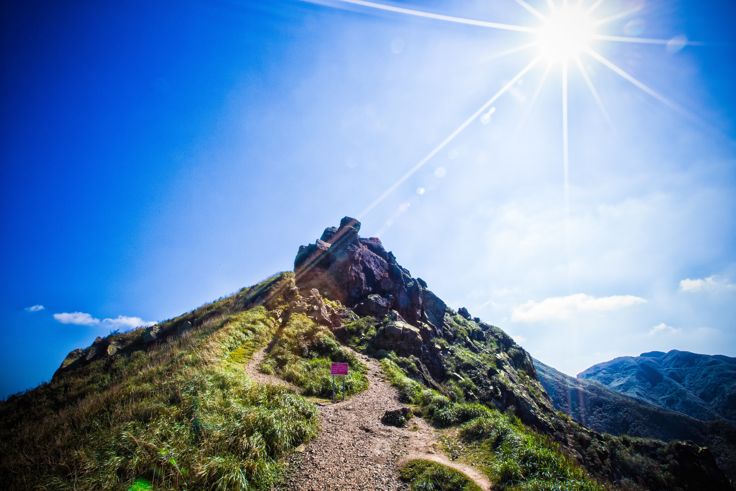
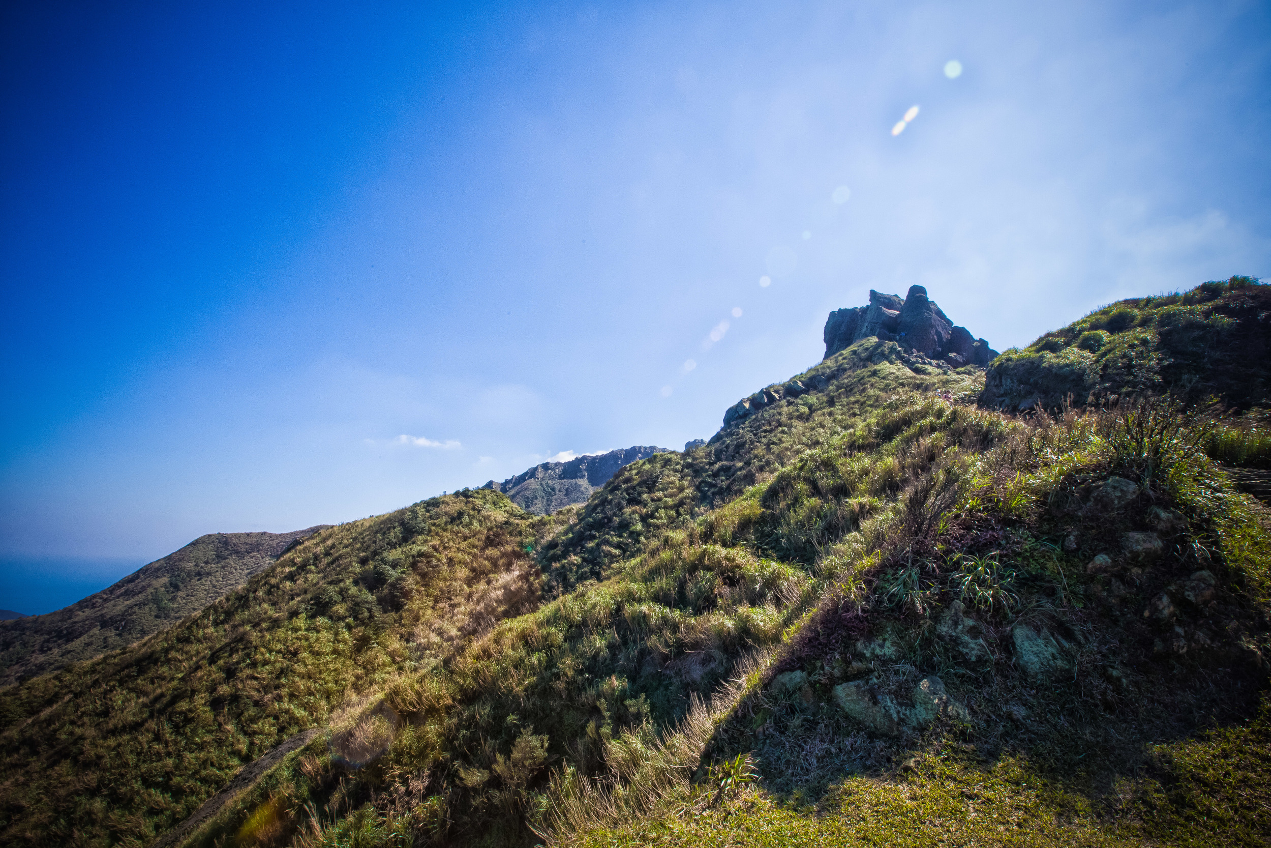
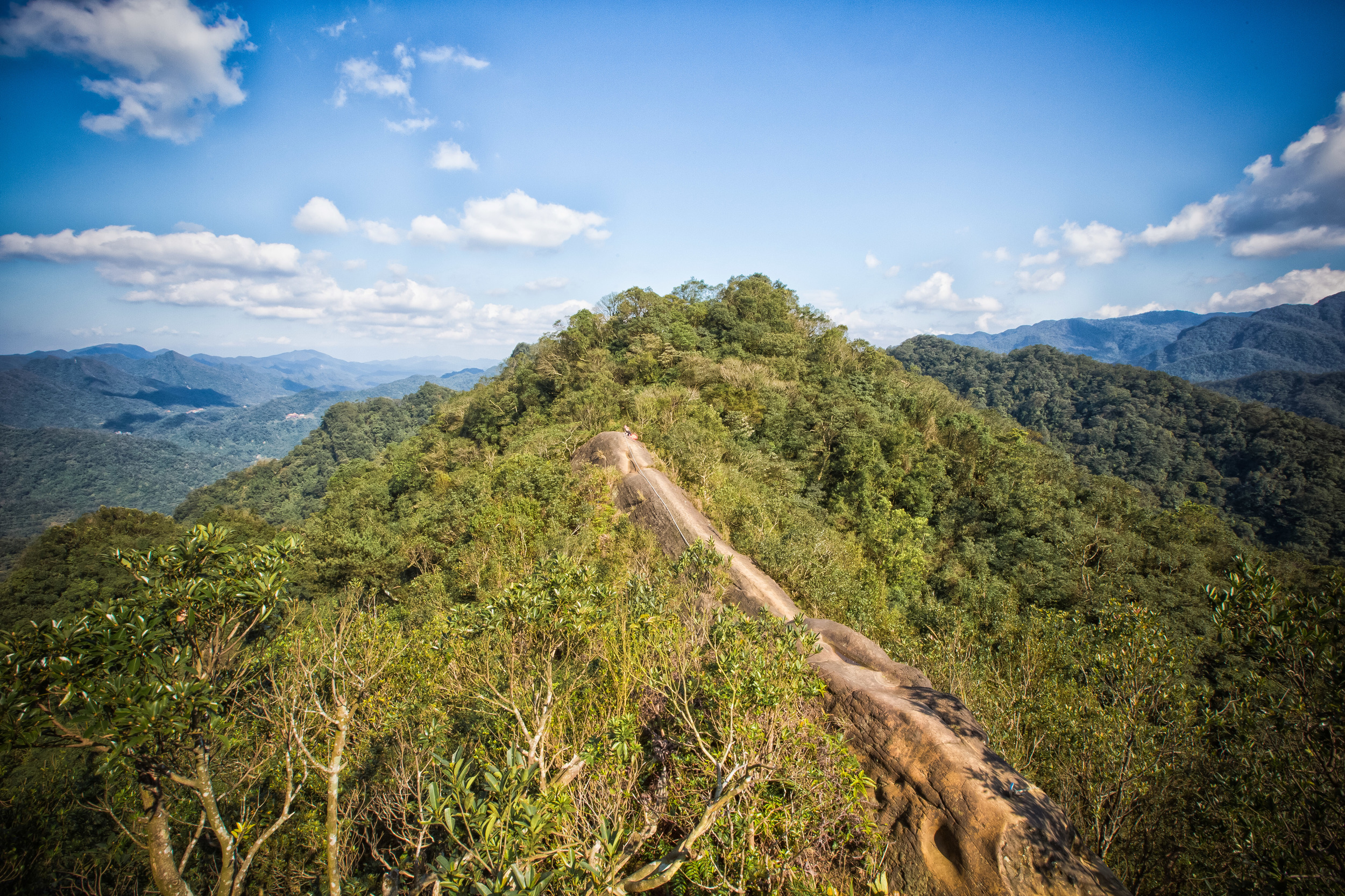
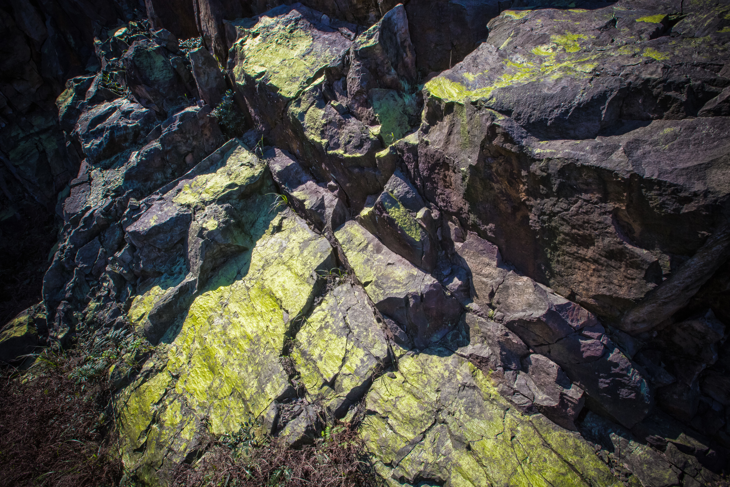
If you've lived in Taiwan long enough, you might have noticed that Taiwanese people are really gifted at looking at rocks and seeing images in them. In most cases I shake my head and say "Umm okay", but in the case of the "Teapot", it actually does look like one! The mountain is called "無耳茶壺山" which translates as "Earless Teapot Mountain" and refers to the fact that the tip of the mountain looks like a teapot, without an "ear" or a handle.

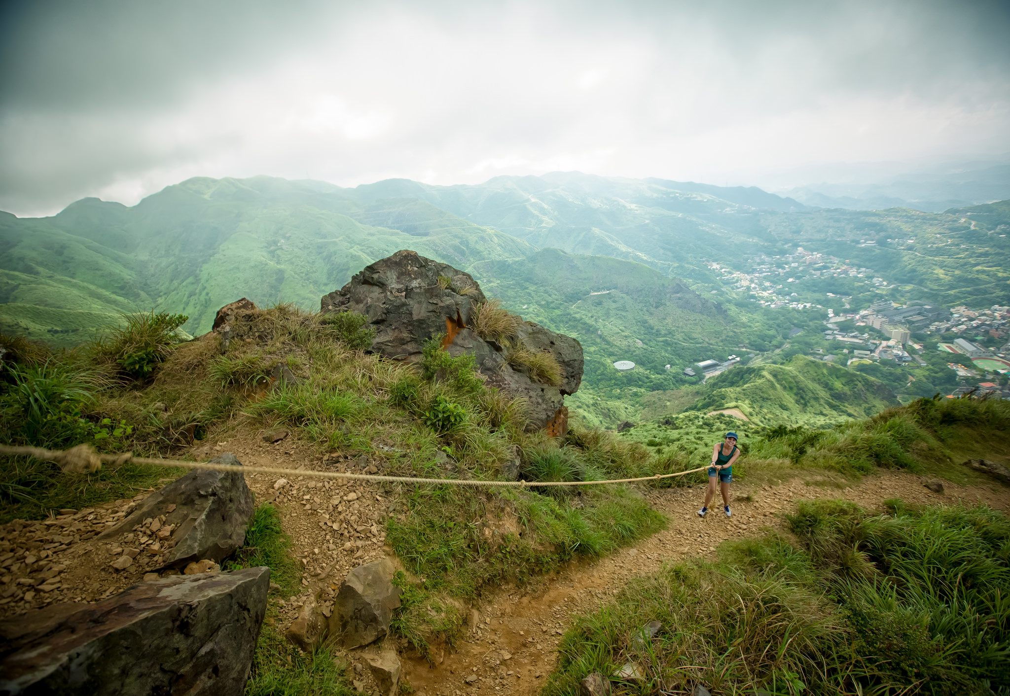
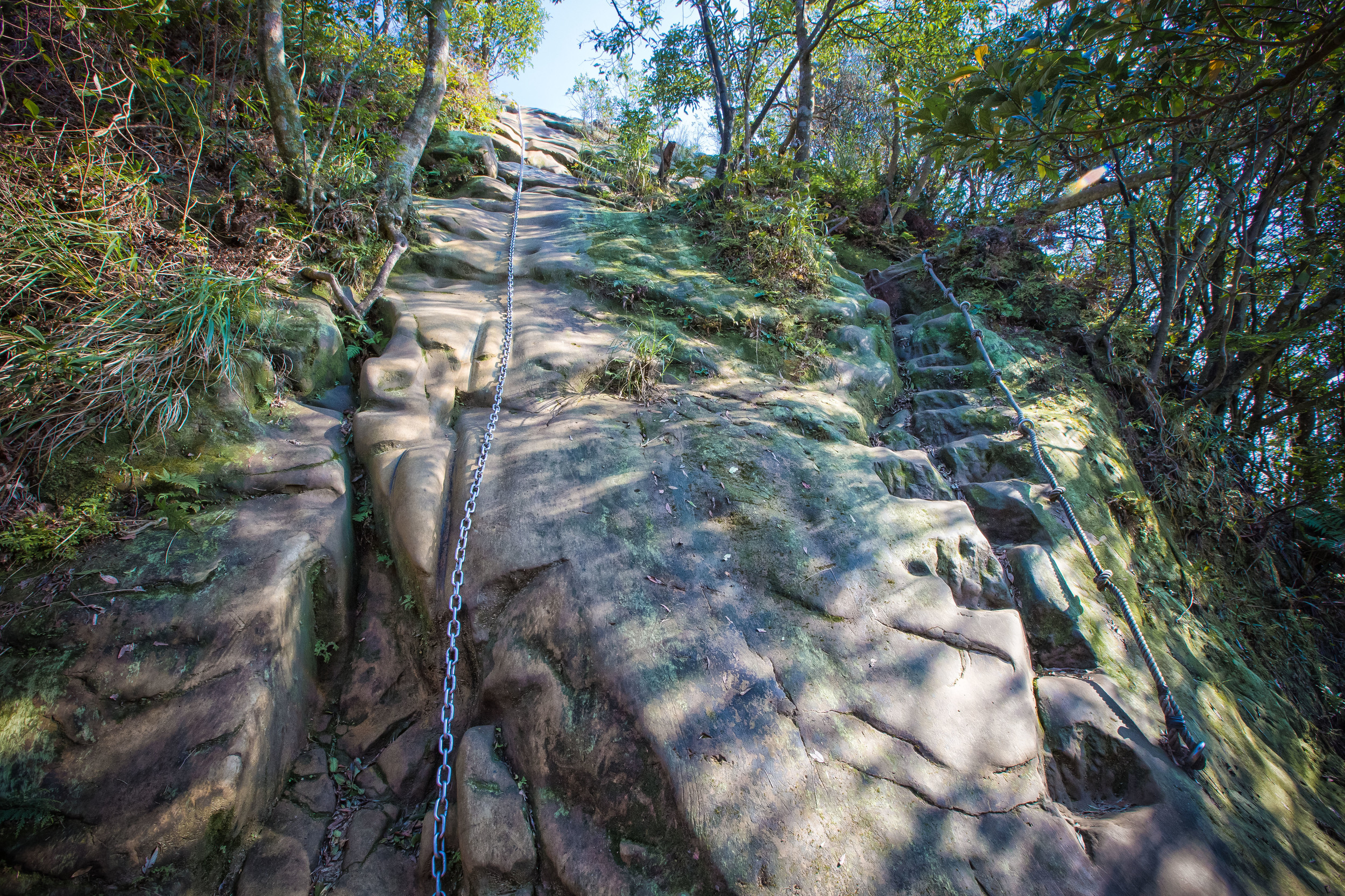
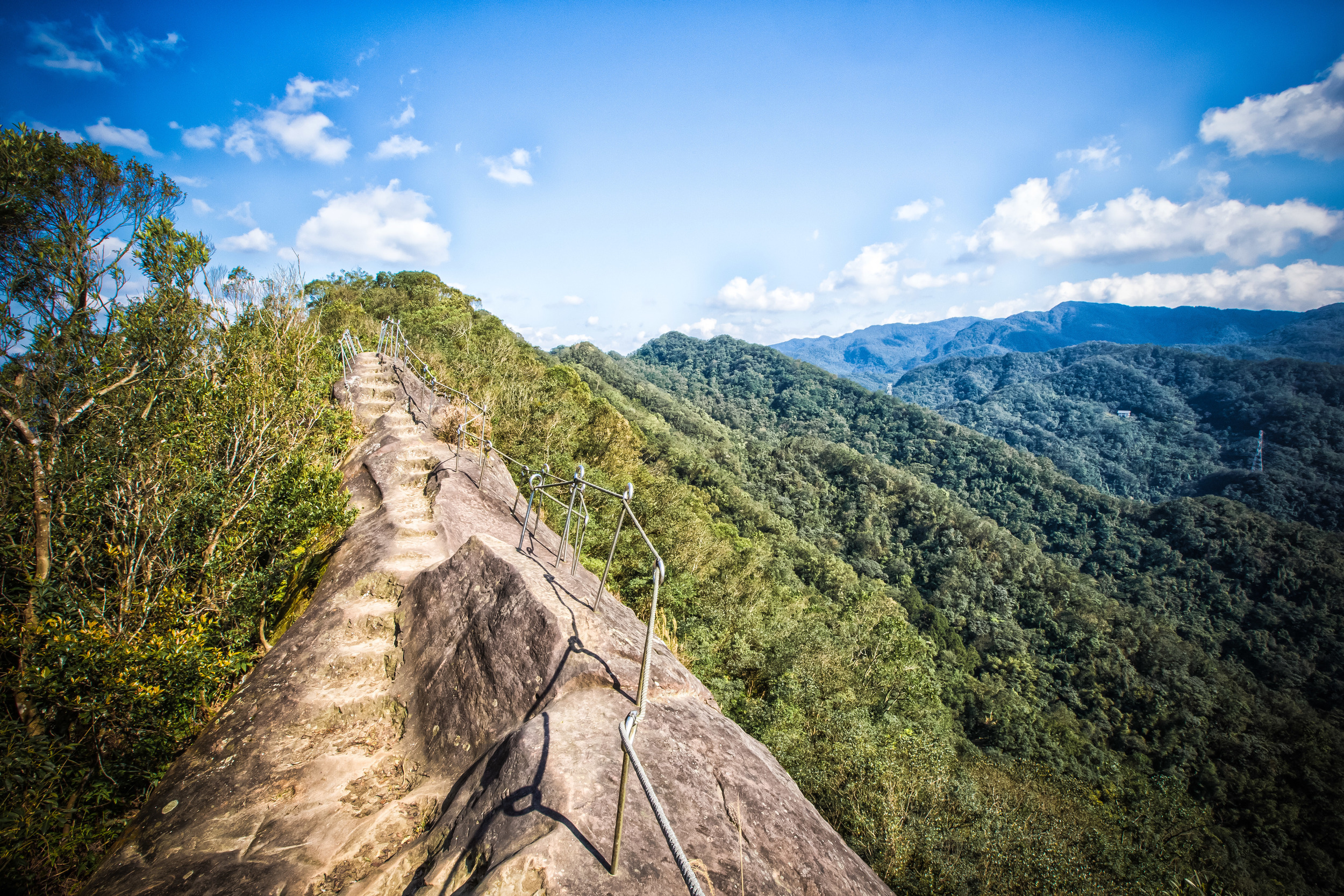
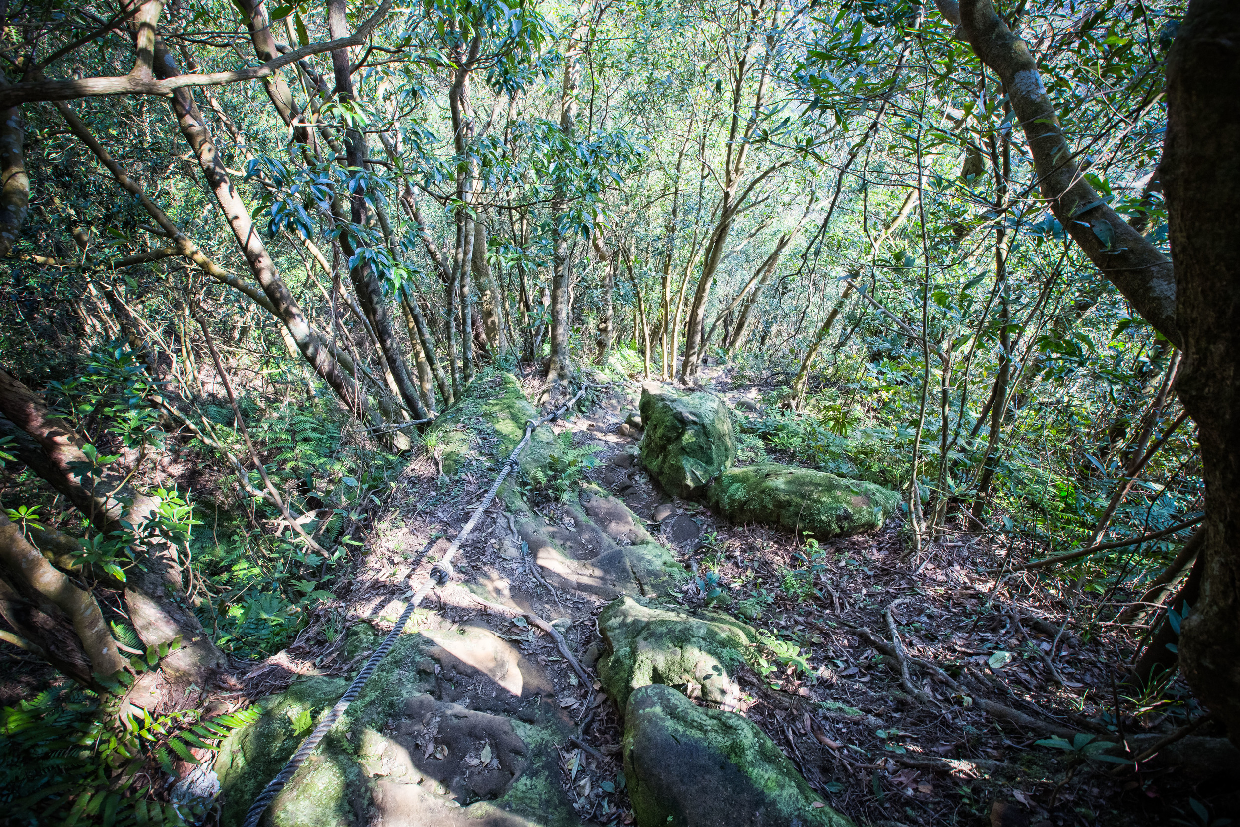
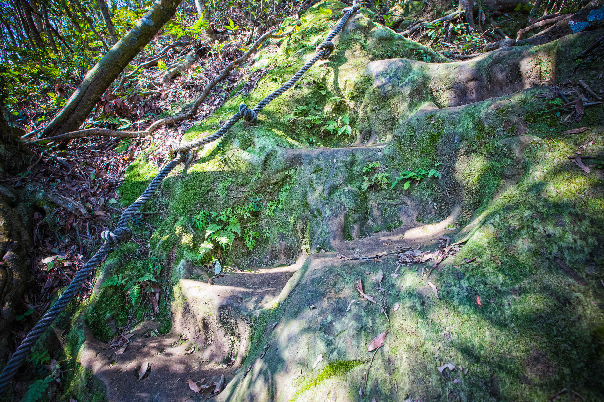
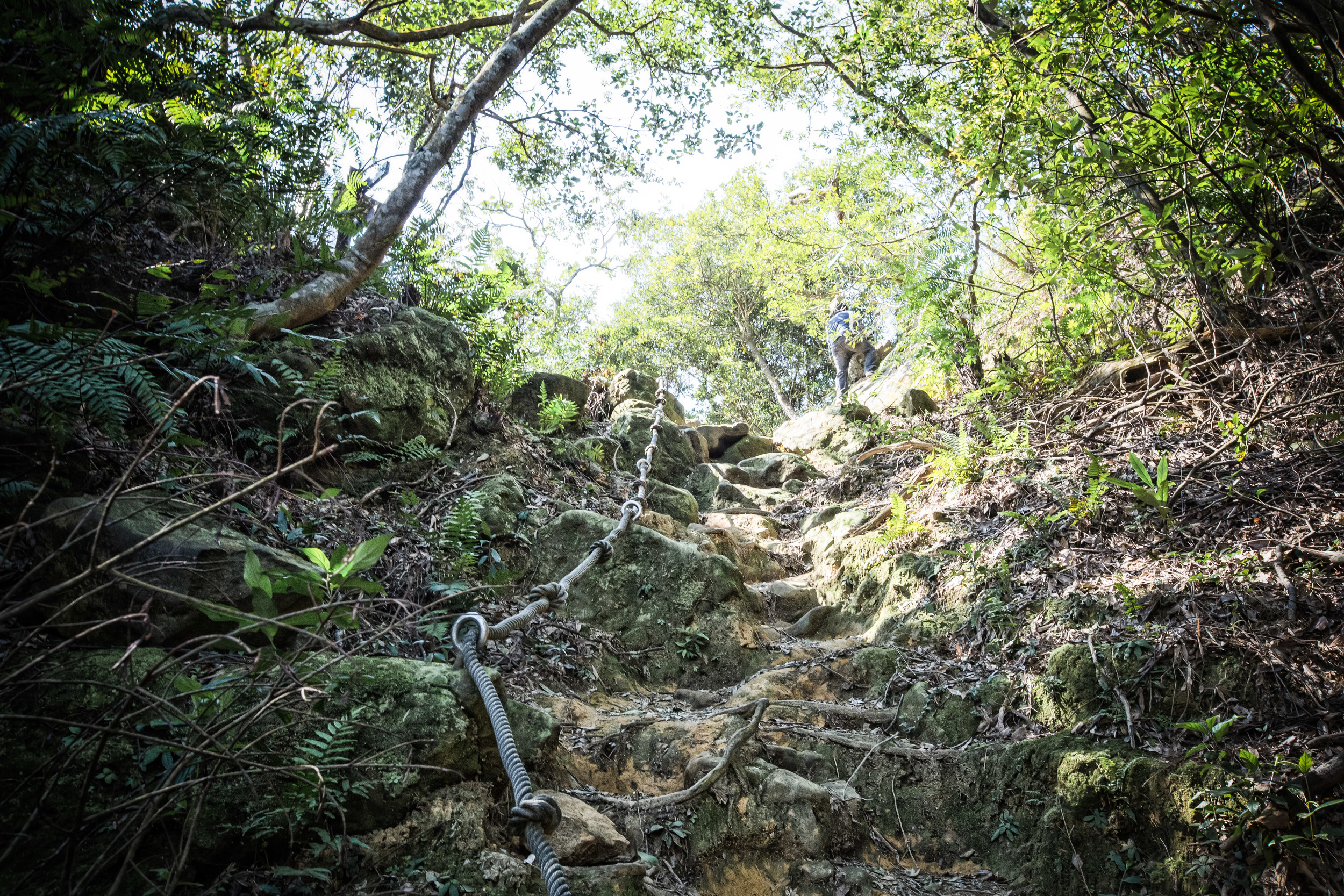
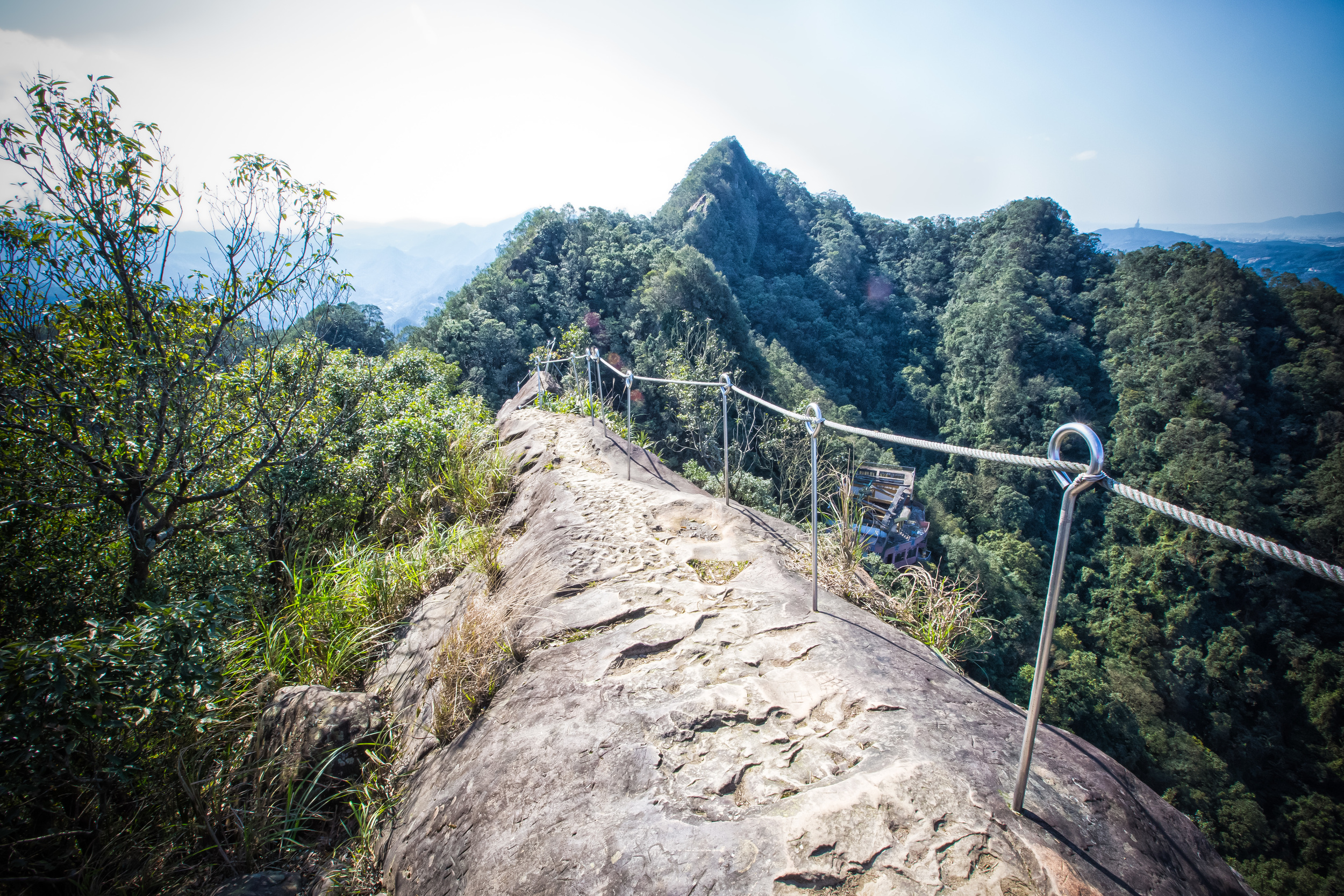
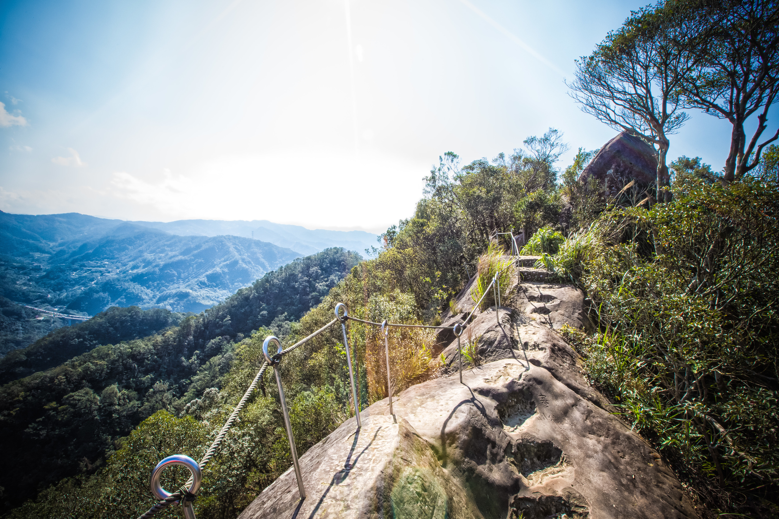
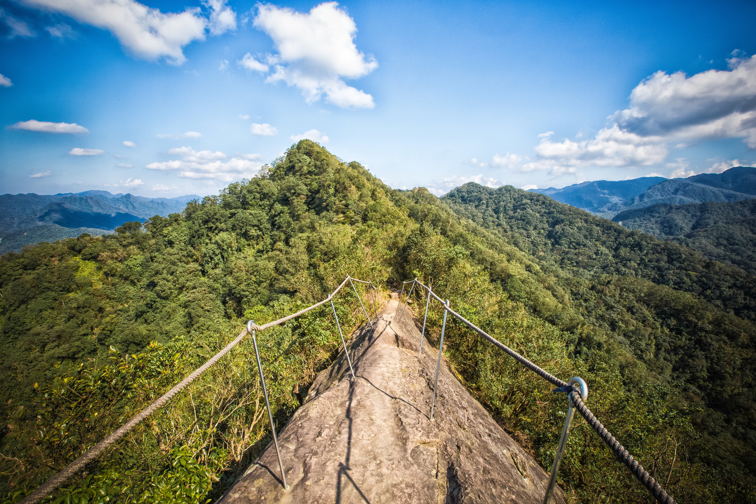
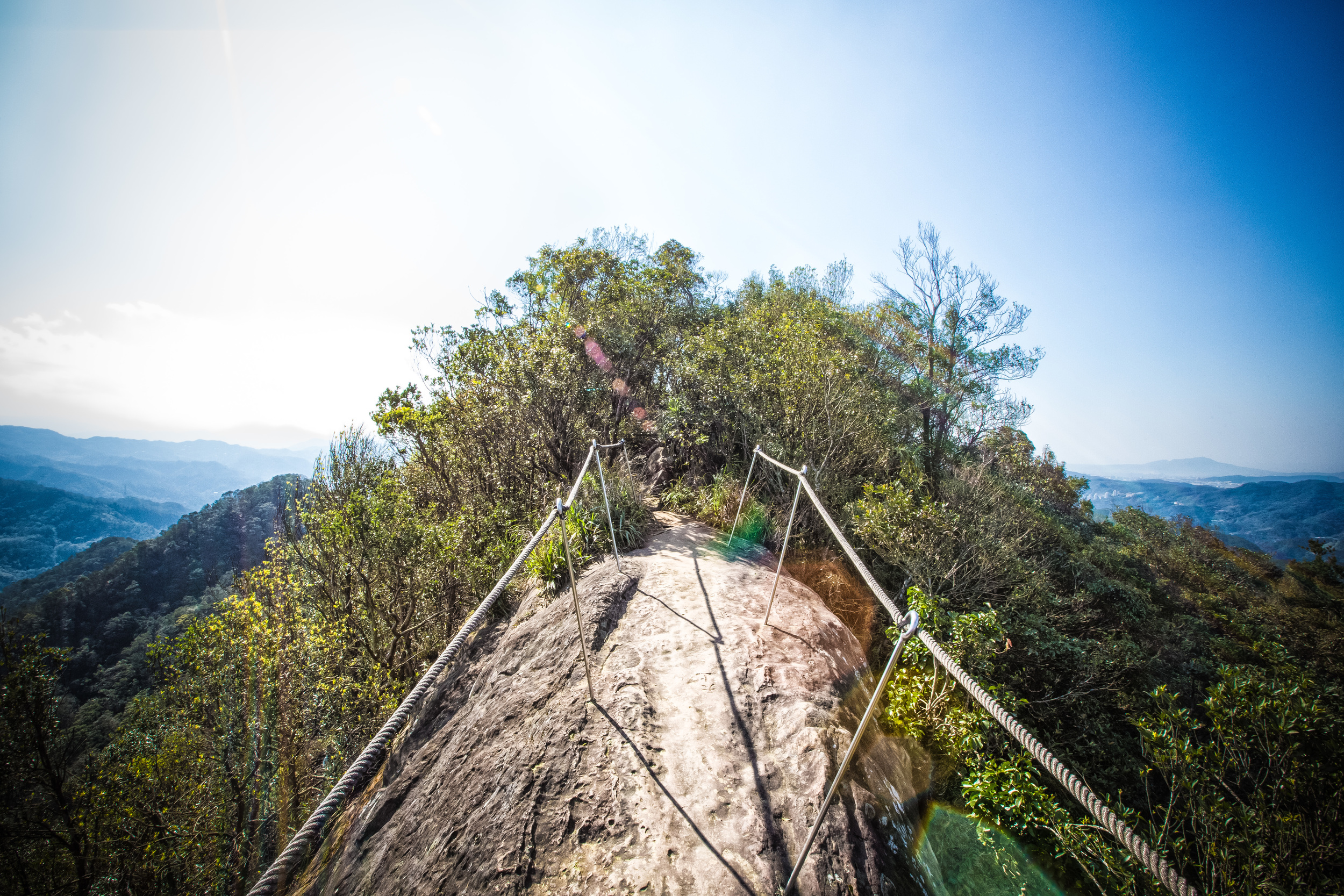
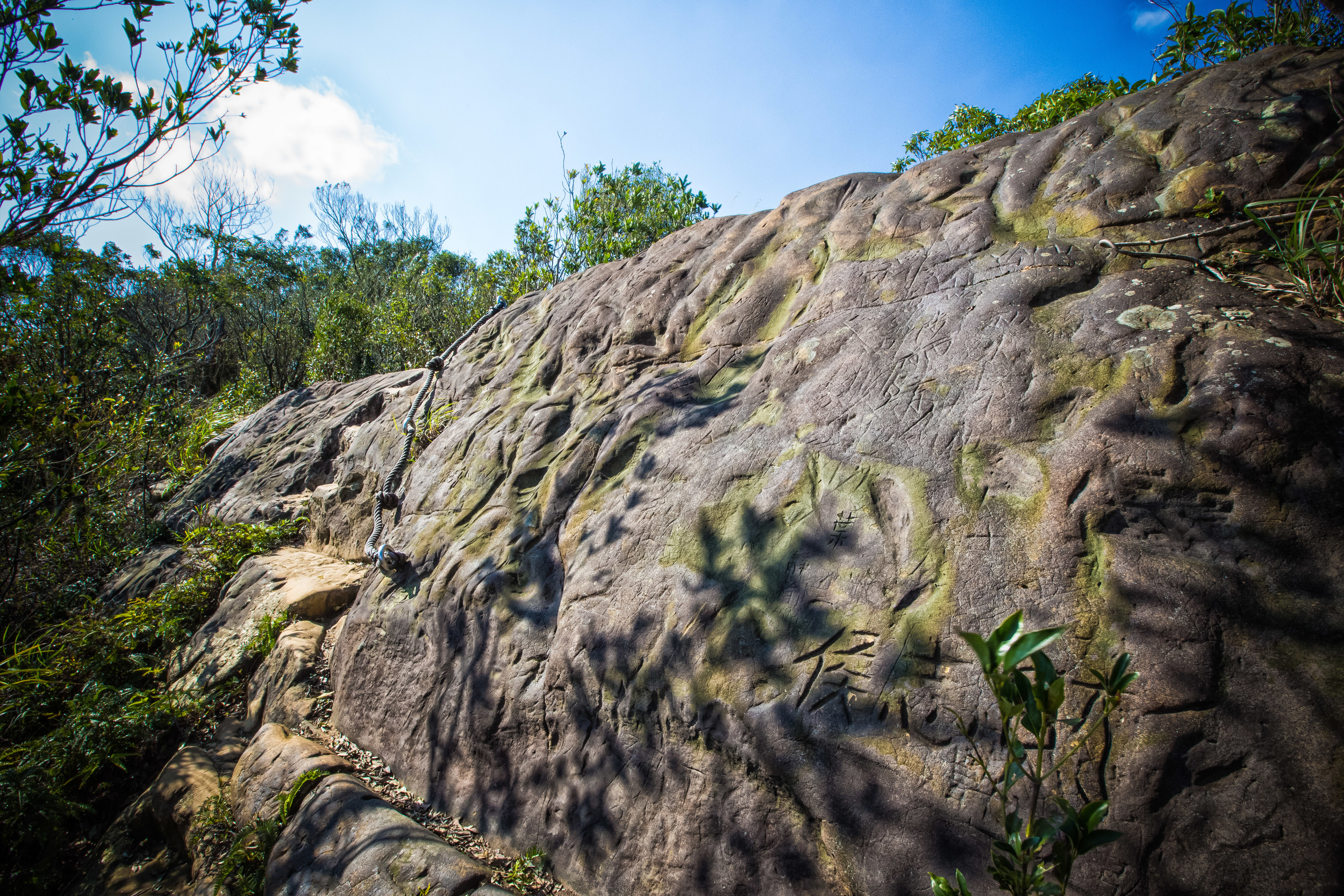
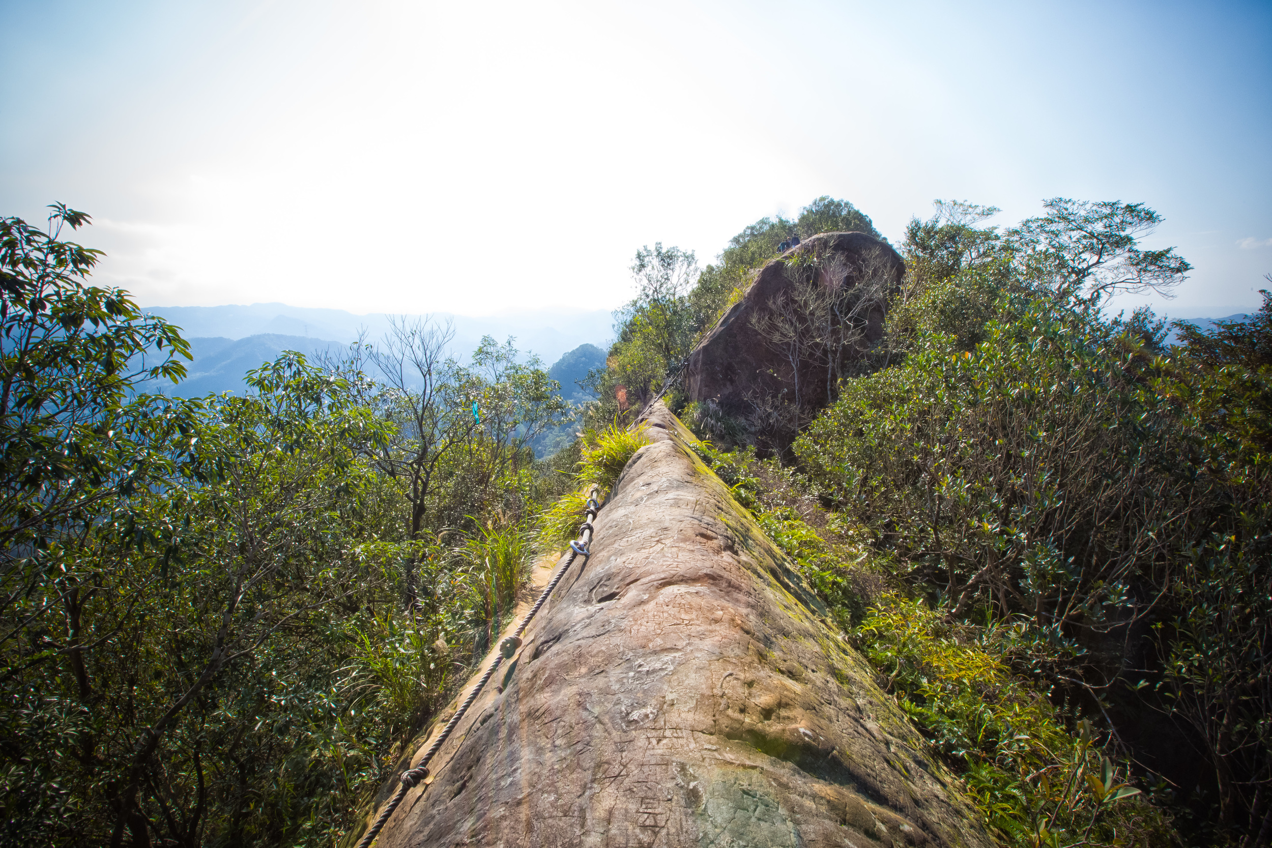
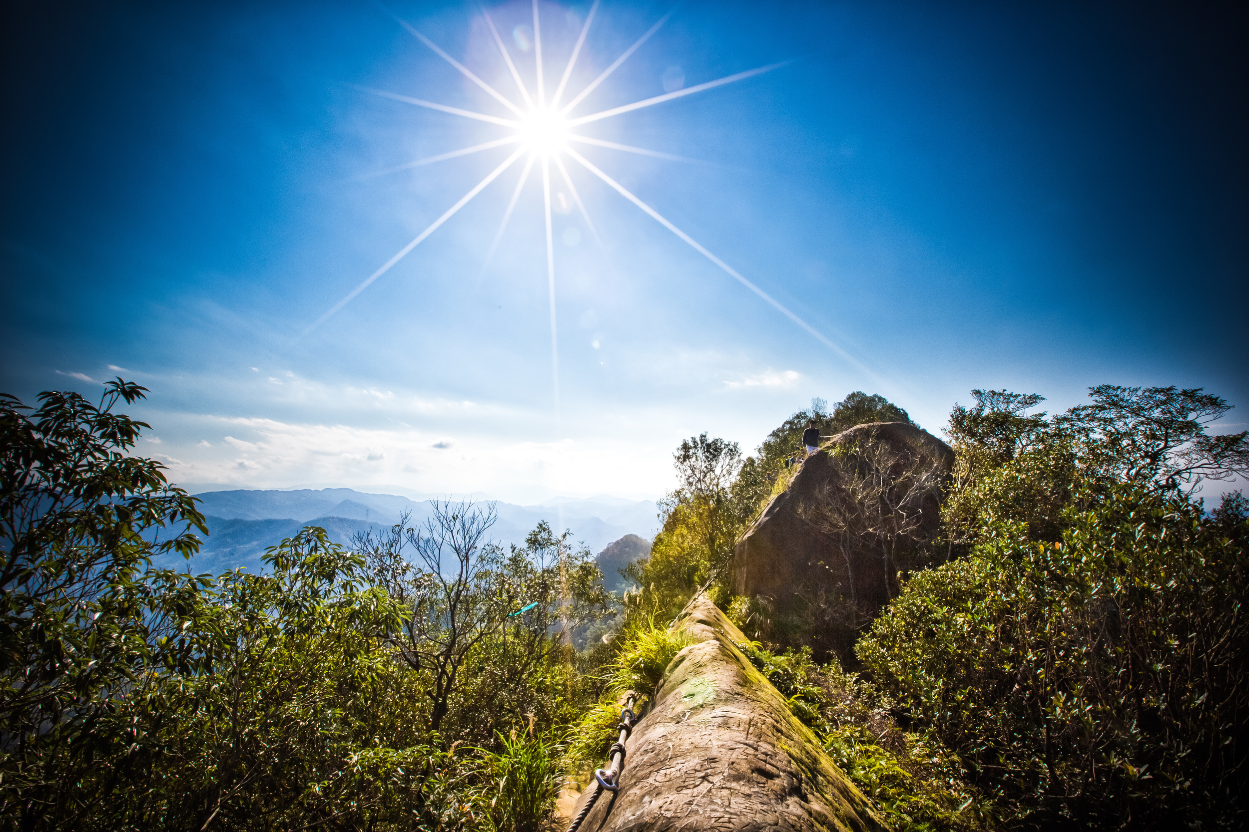
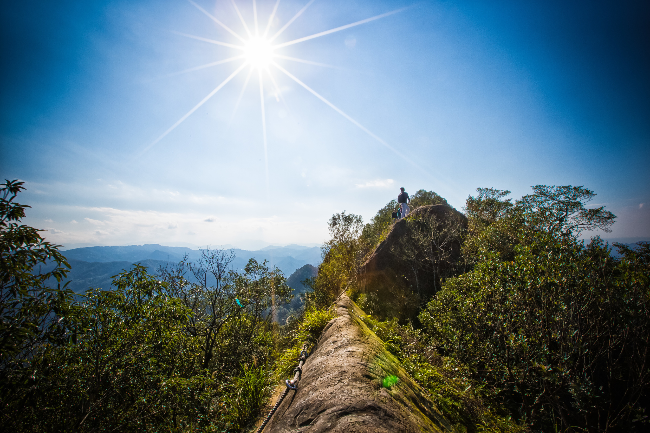
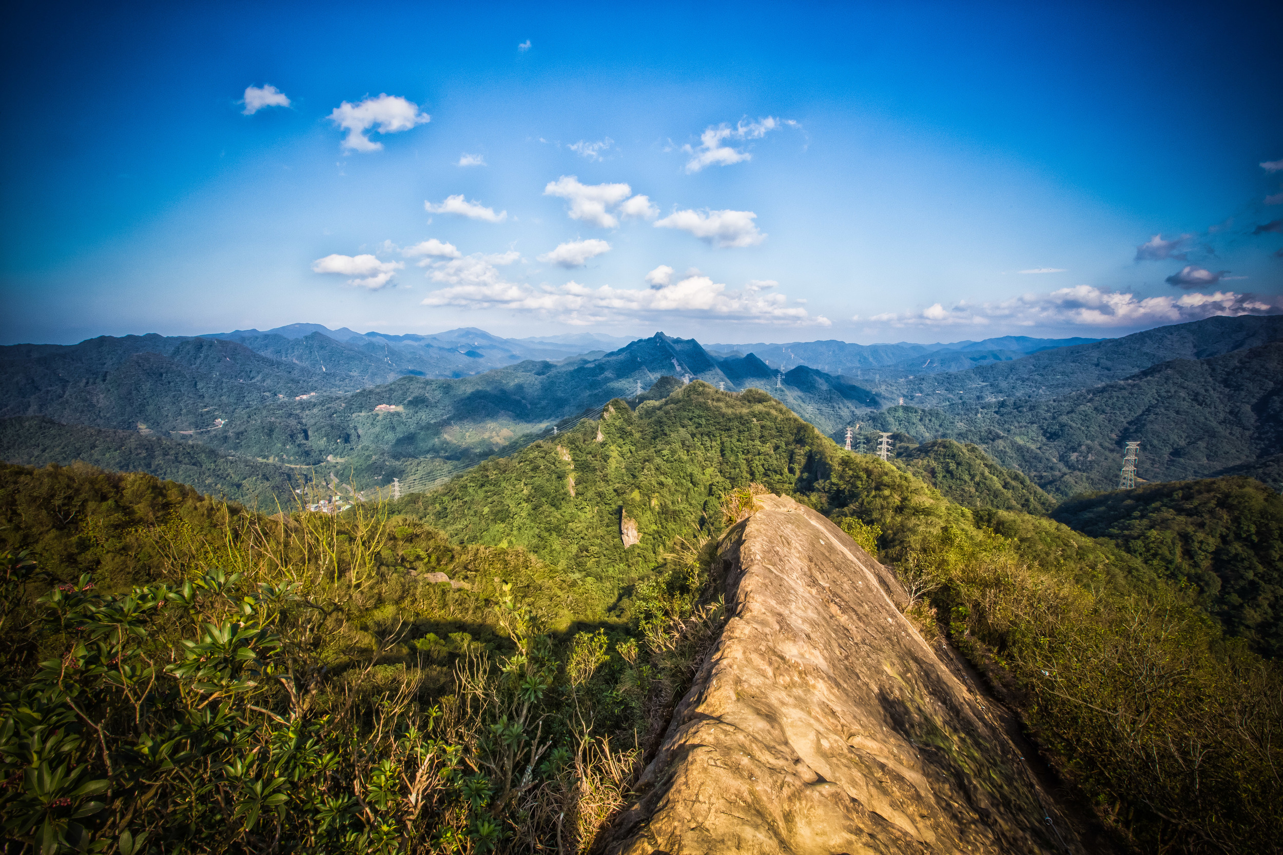
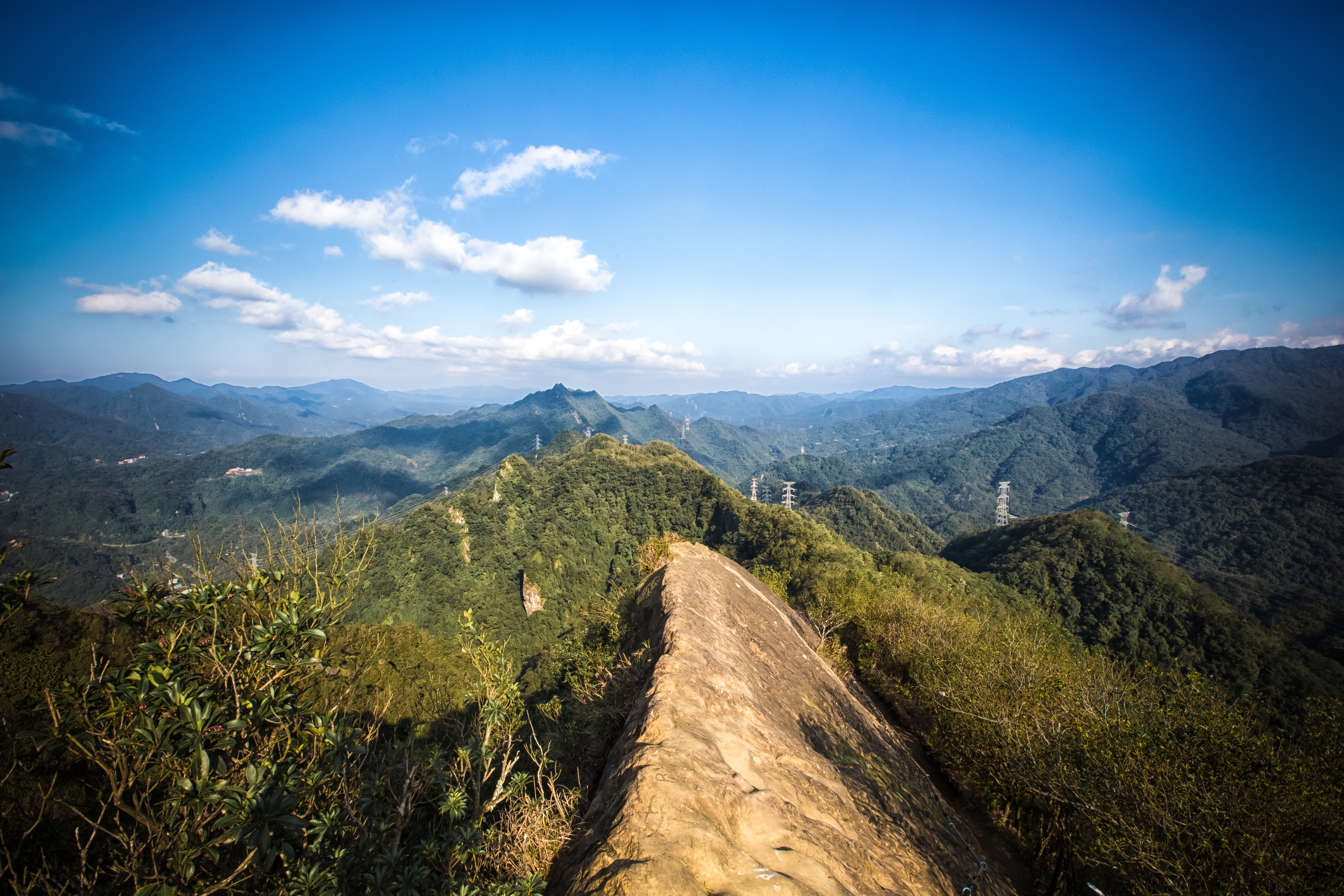
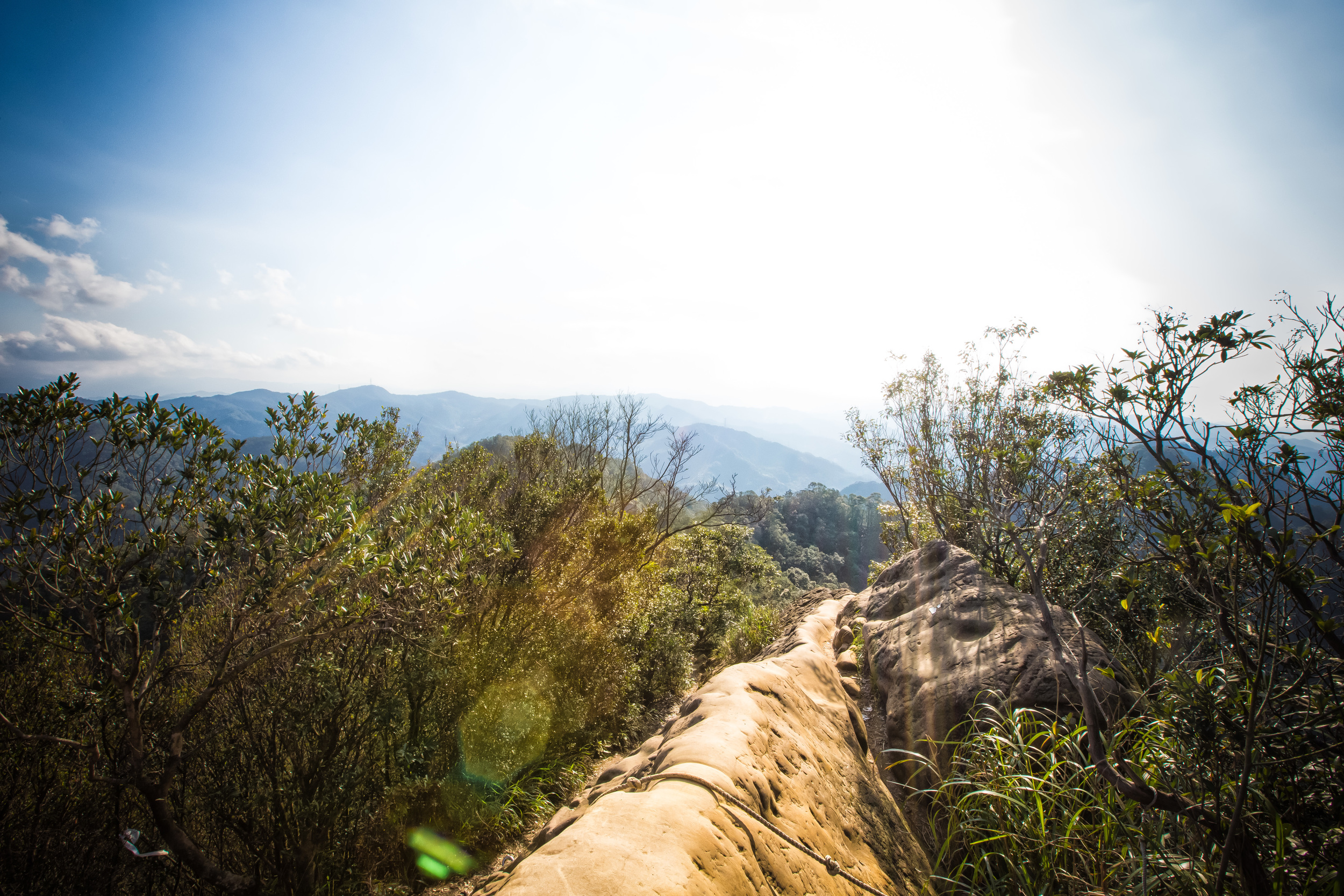
The teapot is accessible by an easy system of ropes and if you are careful, you can climb inside it and make your way to the top to get even better views of the amazing landscape of the North East Coast (東北角.) Experienced hikers will find this part of the hike extremely easy, but I can understand how for some people it can be a bit scary - I highly recommend trying though as you've already made it that far.

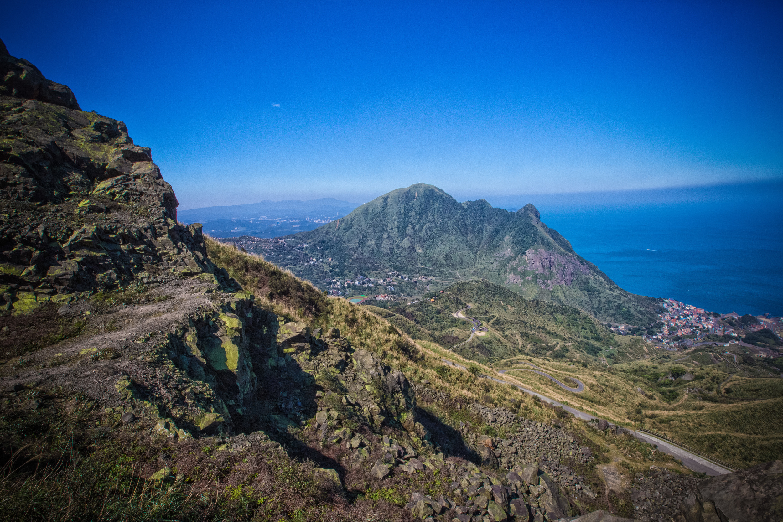
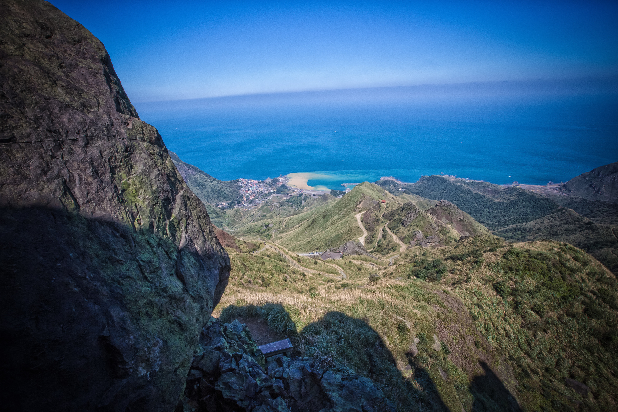
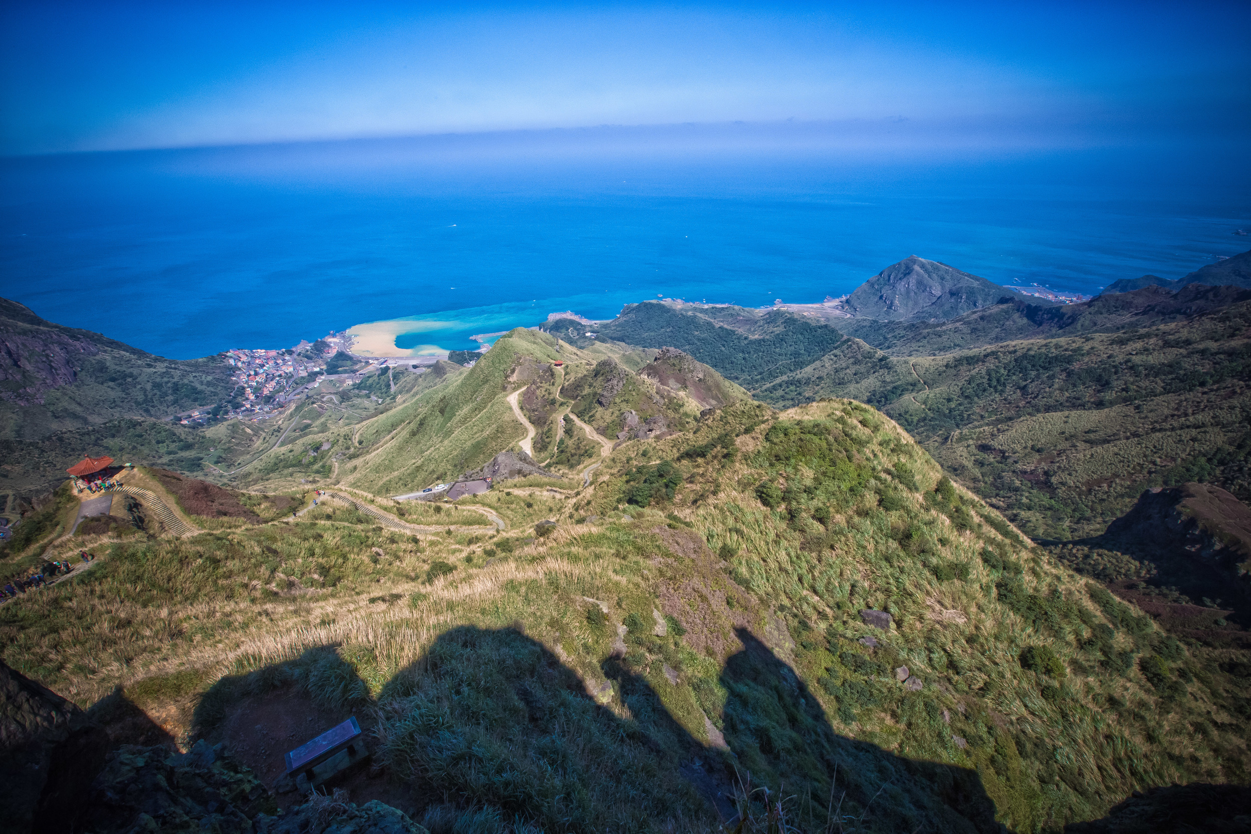
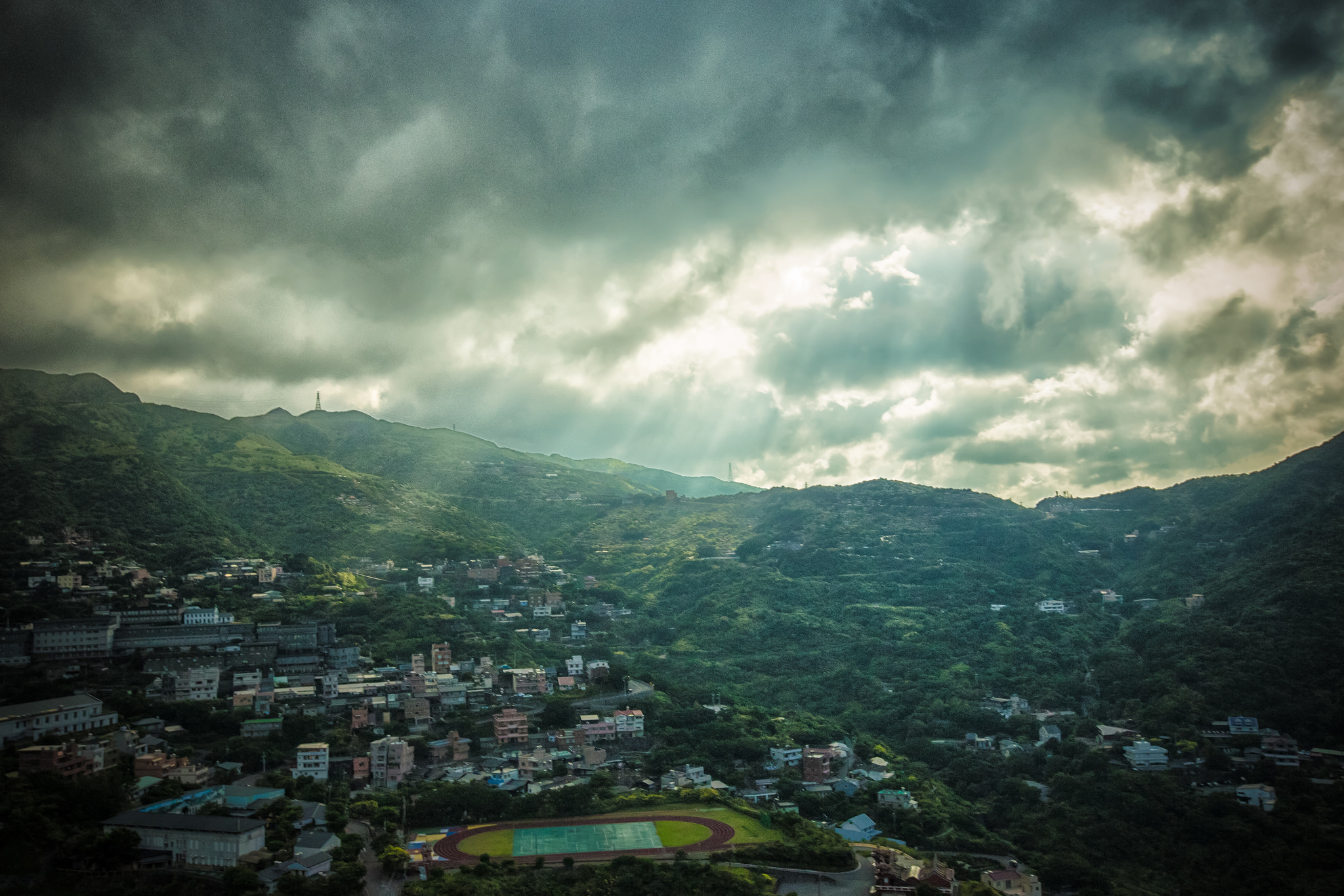
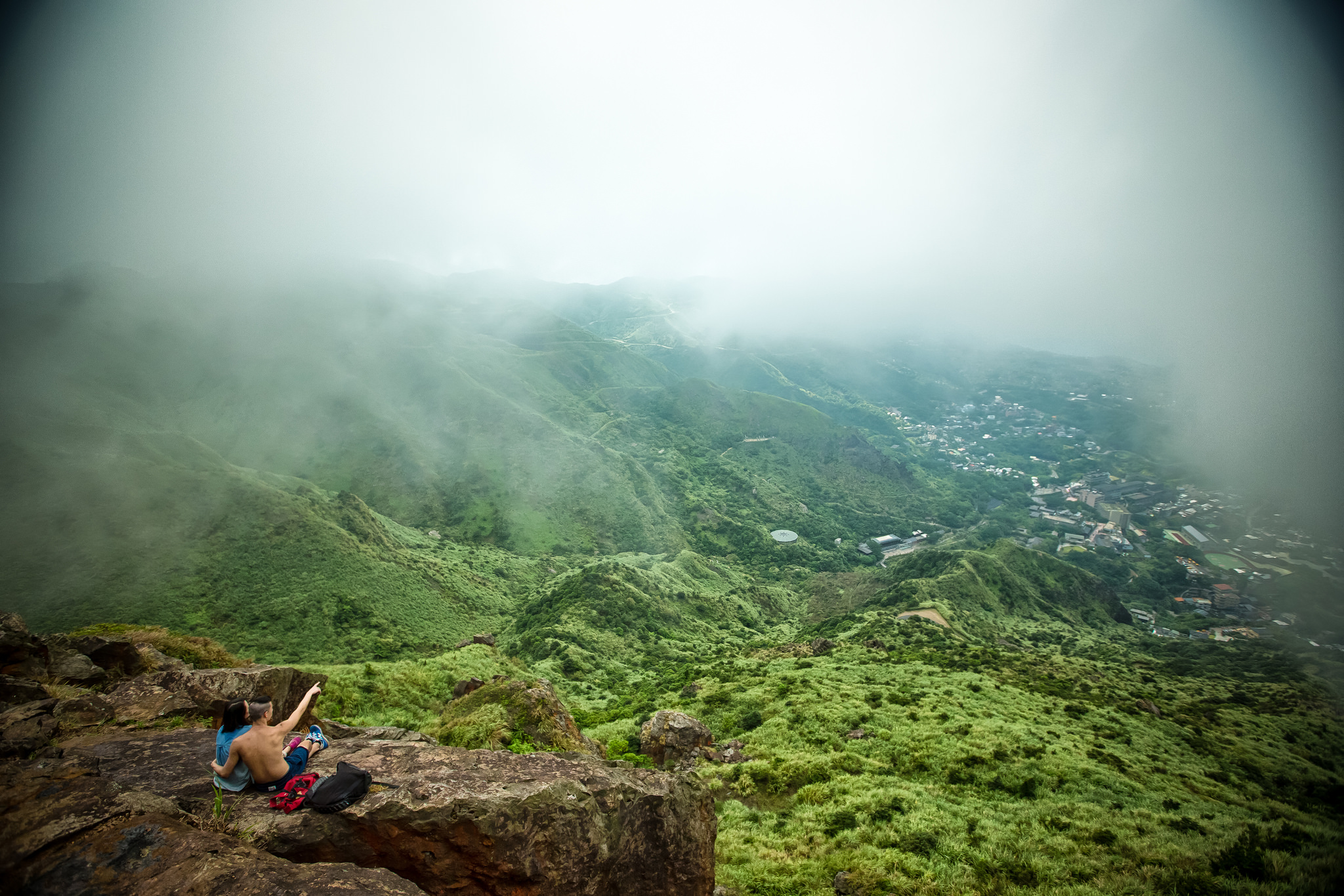
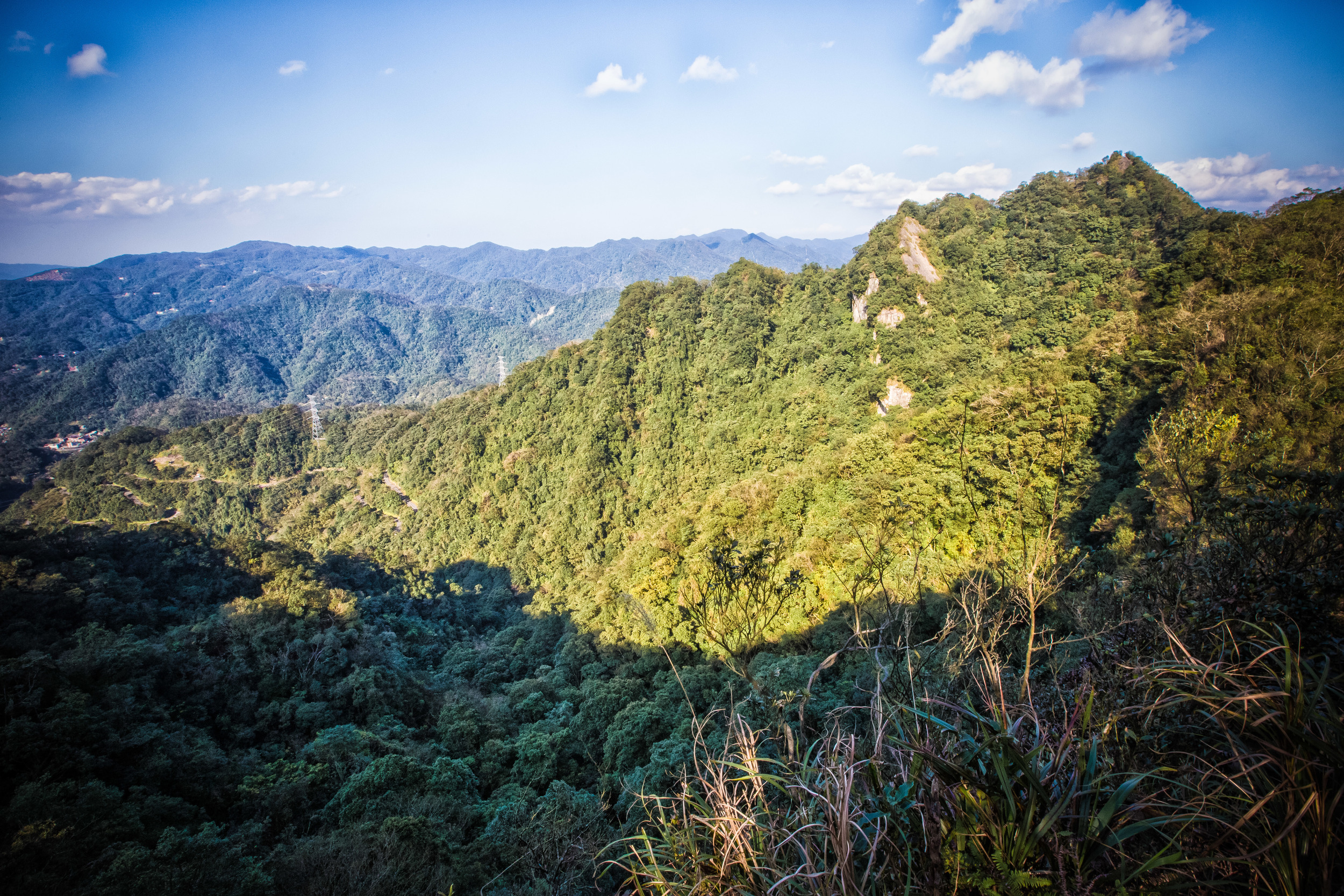
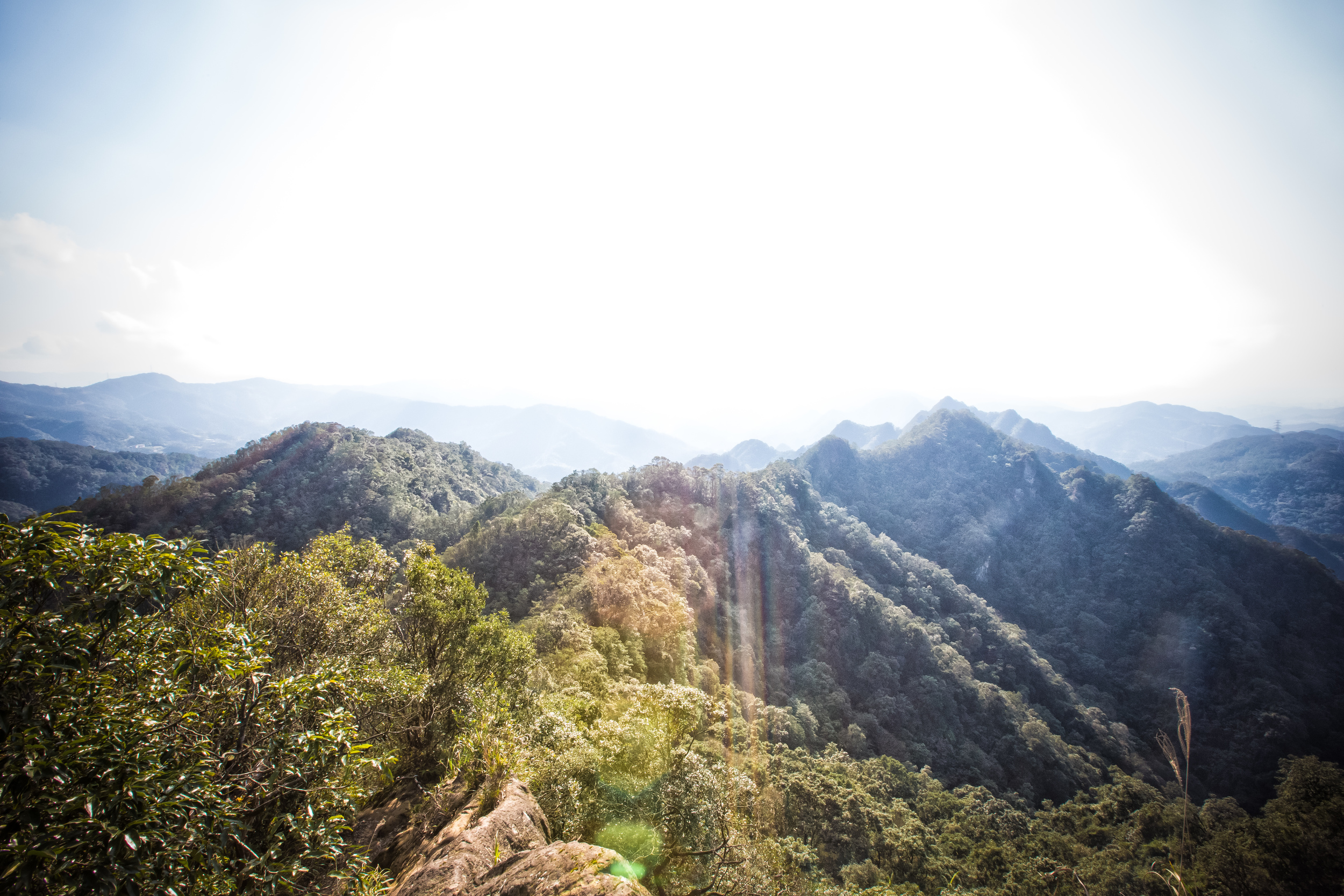
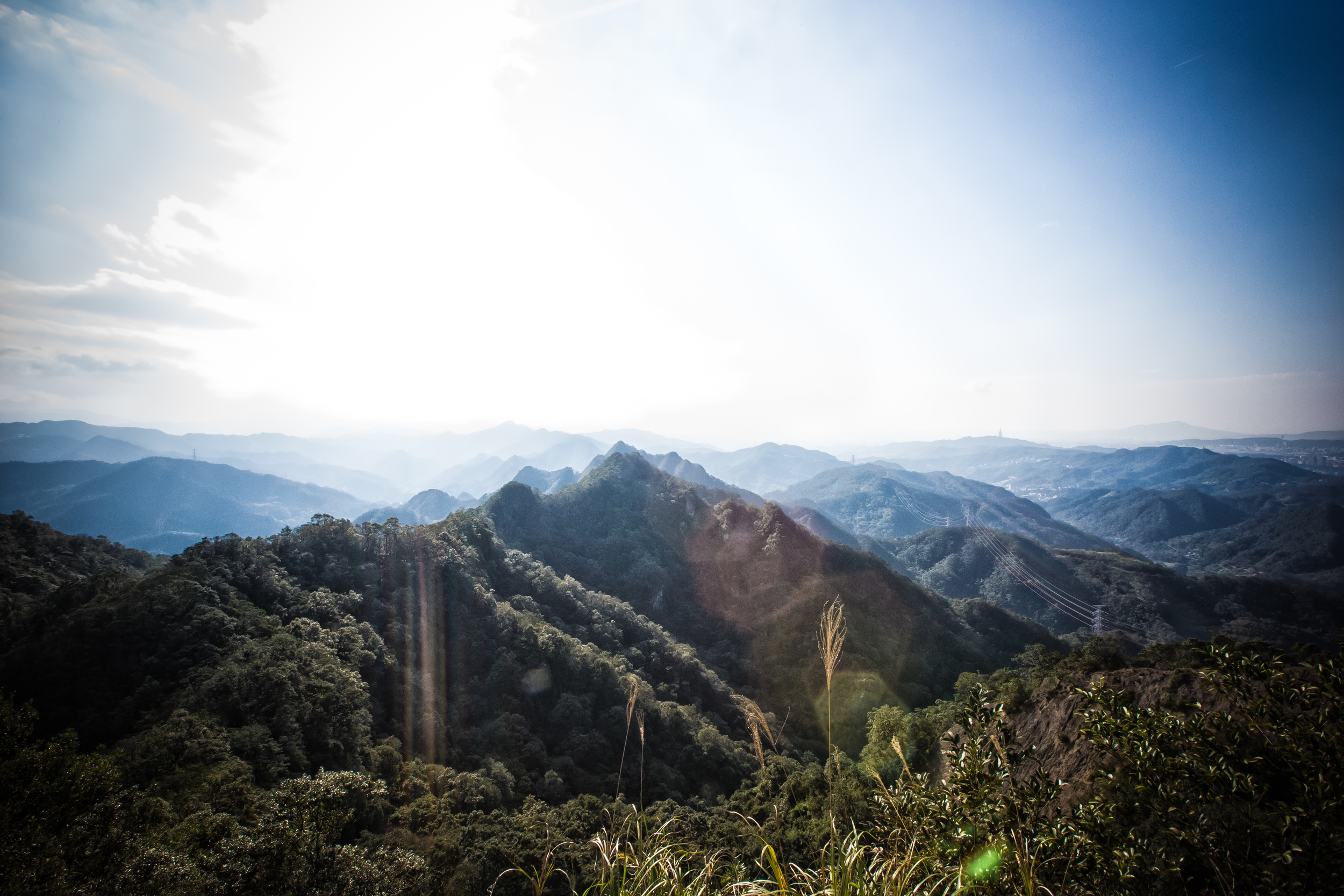
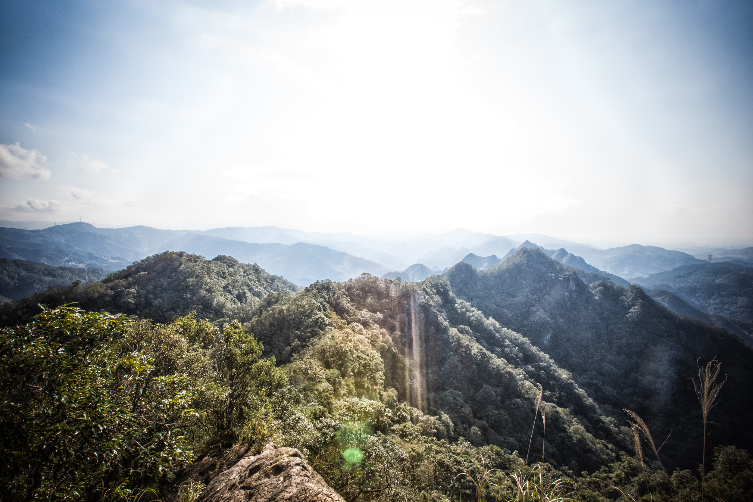
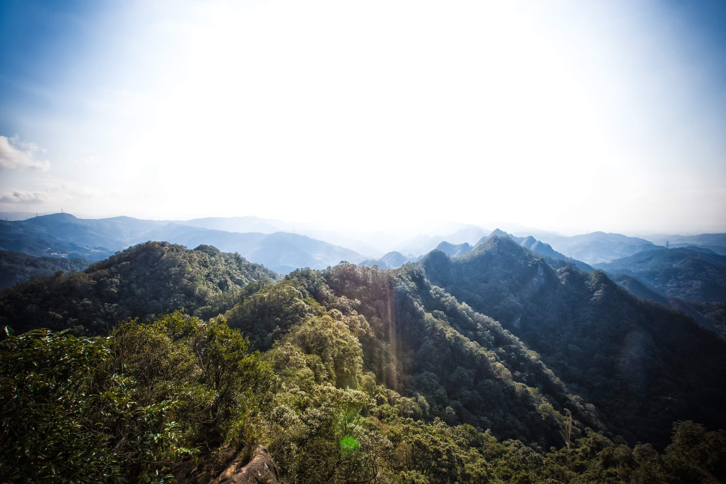
From the top of the Teapot you will have some pretty spectacular views of Jiufen, Jinguashi, Jilong Mountain (雞籠山), the Yin Yang Sea (陰陽海) and the North East Coast. If you are visiting on a sunny and clear day you'll be able to see as far as Keelung and you might even be able to see Taipei 101 sneaking it's head up over some of the other mountains. If you're planning on doing this hike, make sure you choose a day that will have excellent weather as the hike rewards you with stunning landscapes. The area is actually known for its rain, so make sure to pay attention to the weather forecast before making your way to the mountain.

As I mention earlier, this hike is part of a much longer hike and if you are hiking past Teapot Mountain onto the Banping Mountain (半屏山) trail you should be warned that the hike past Teapot mountain is much more difficult and shouldn't be taken lightly - especially if the weather isn't very good. That being said, if your plan is to do the entire hike (something I can say I haven't done yet) then you should be prepared for a full day-hike rather than just an easy day-hike.

If you are planning a trip to the area and you are relying on public transportation, your options might be limited, but if you have access to your own method of transportation you may want to consider some of the other tourist attractions which include the Golden Waterfall (黃金瀑布), Jiufen Old Street, the Yin Yang Sea, etc. There is a wealth of things to do in the area, so if you are only doing the Teapot Mountain hike you can be sure to finish the hike with a nice cup of tea in Jiufen overlooking the beautiful ocean below.

If you are visiting Taiwan from abroad and want to experience the natural beauty of this island, it's highly recommended that you plan both a trip to this mountain and finish it off with a visit to Jiufen. If you are unsure that you're able to get to the mountain on your own, the guys at Taiwan Adventures are available for guided tours and will plan all the logistics for you.

All in all the hike is an easy one and the reward outweighs the amount of time it takes you to get there. Coupled with the fact that you are easily able to include other activities in the area making it a full-day tourist excursion from the city makes it even better. I know it's not a popular guidebook destination, but any visit to Jiufen should include a hike to Teapot Mountain!

Taiwan Adventures - Teapot Mountain


Gallery / Flickr (High Res Shots) 
Taiwan Cherry Blossoms (台灣山櫻花)

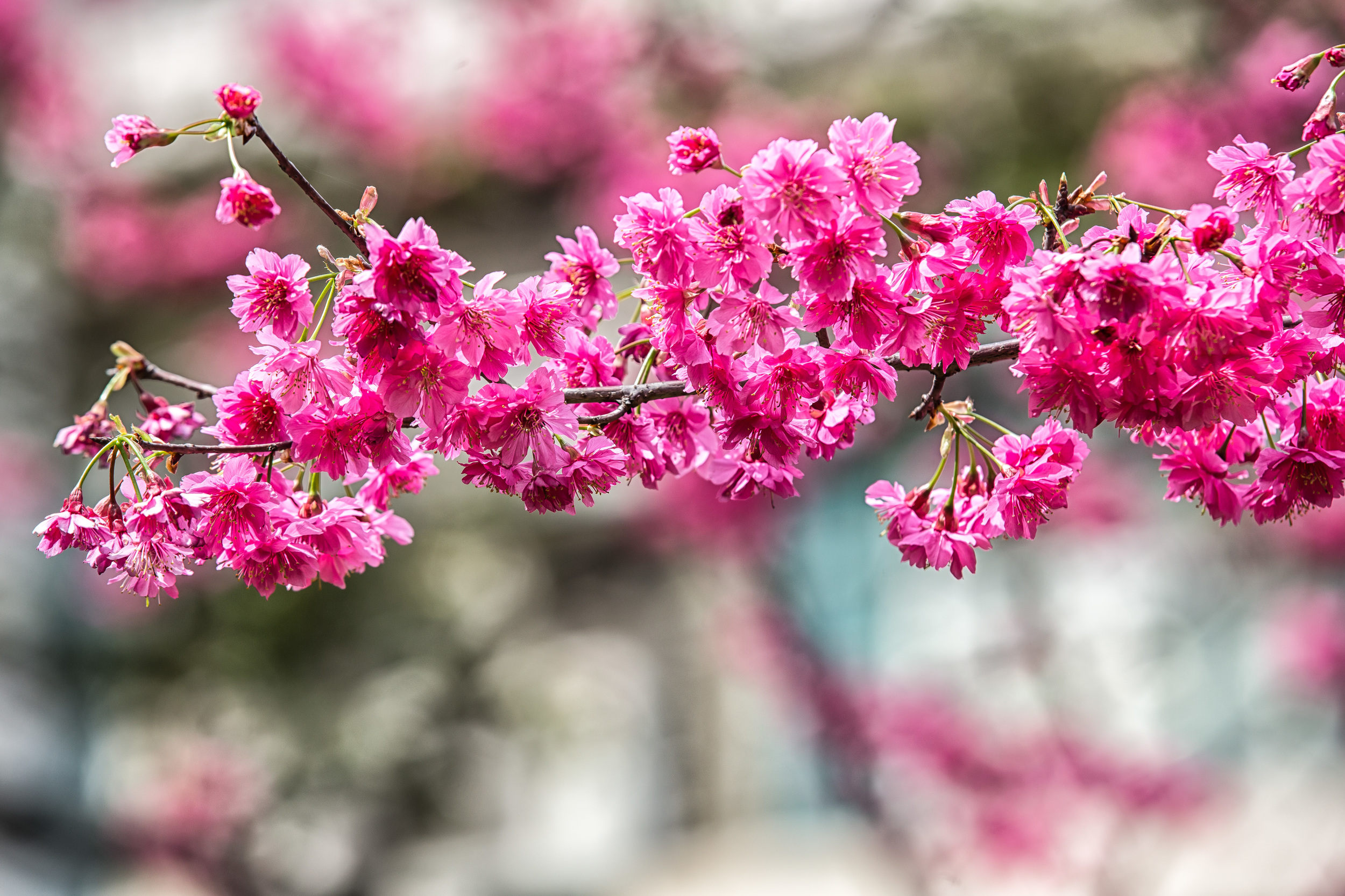
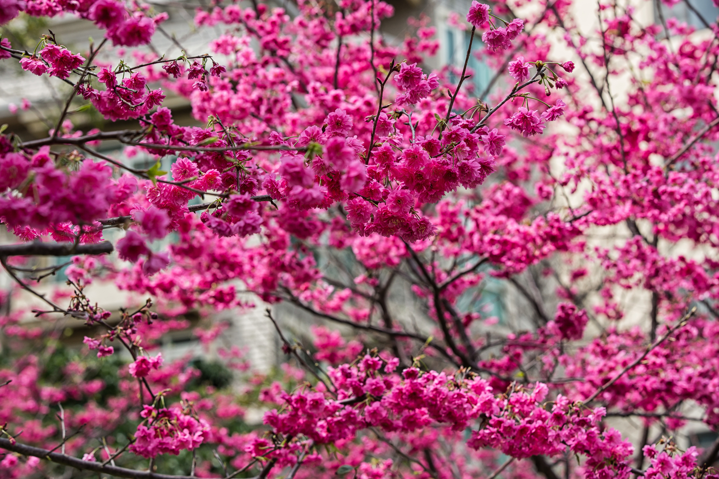
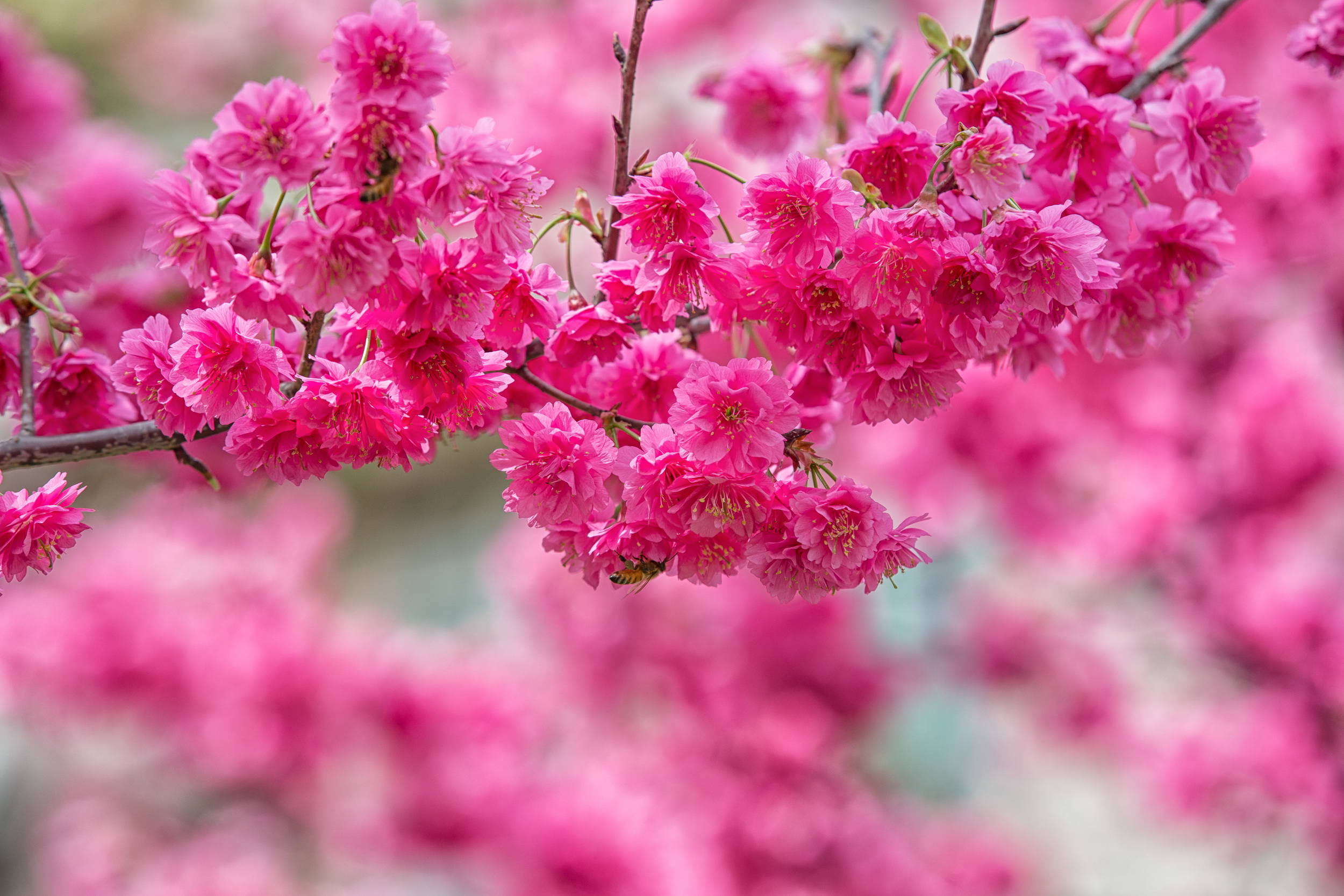
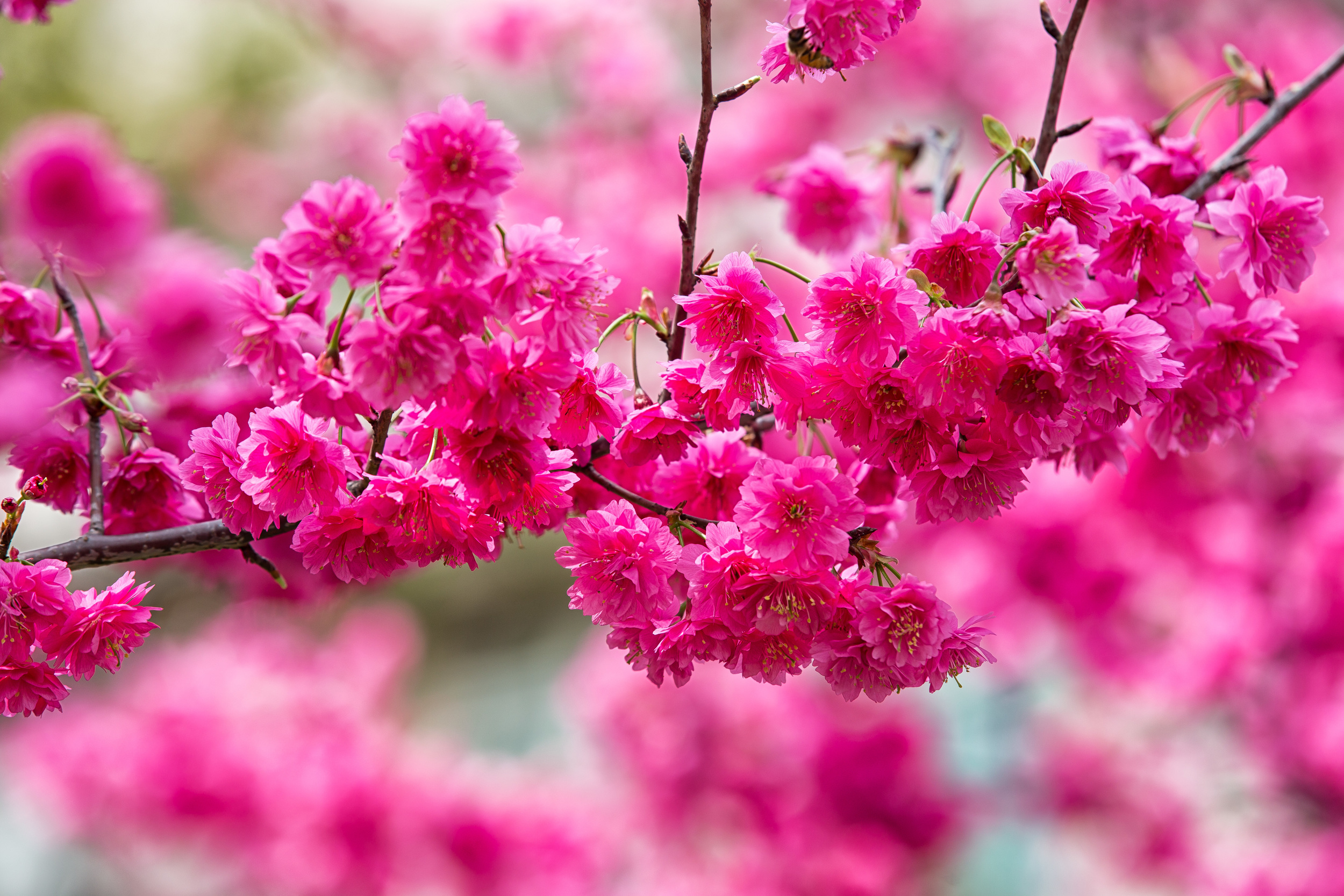
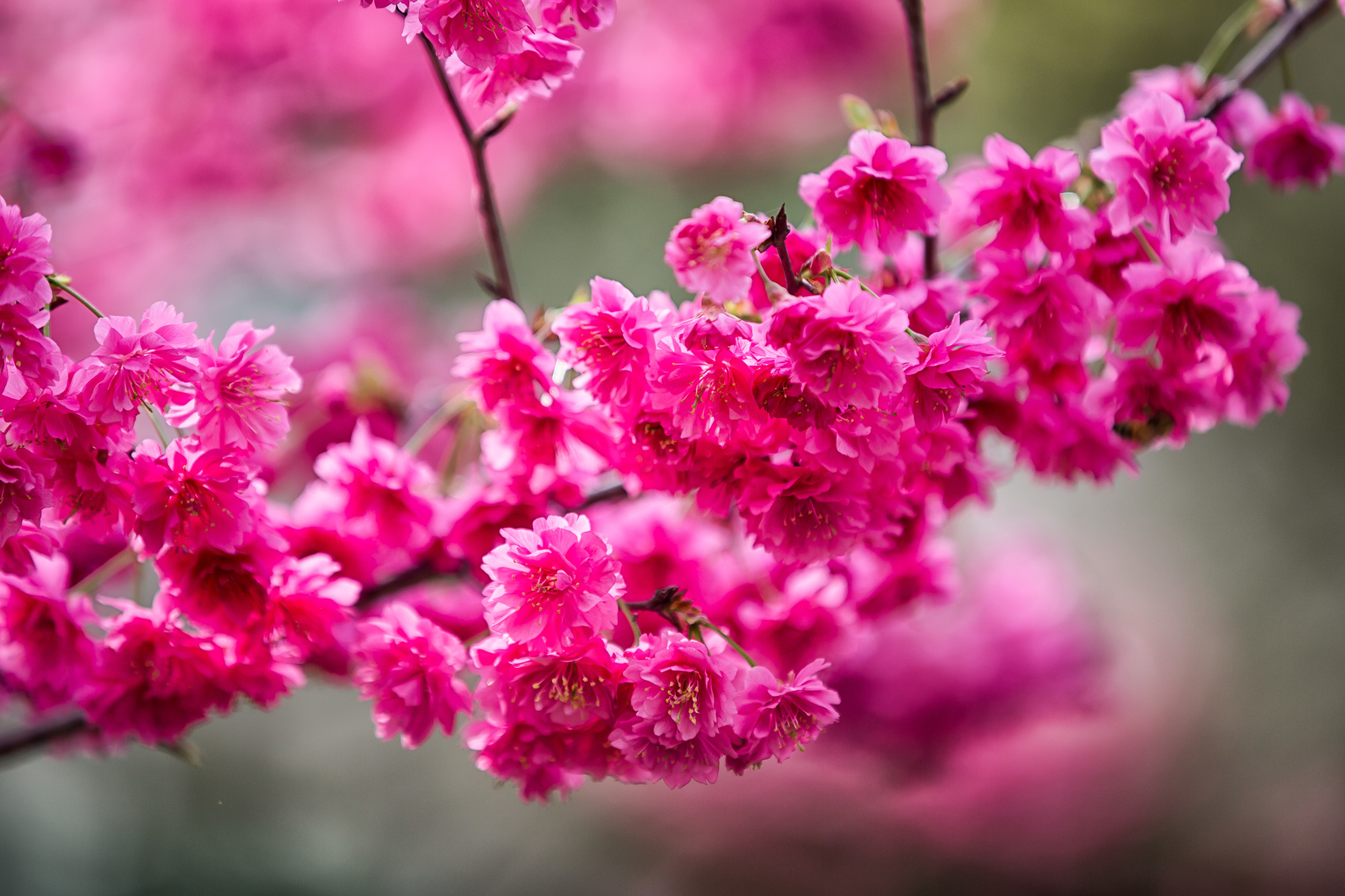
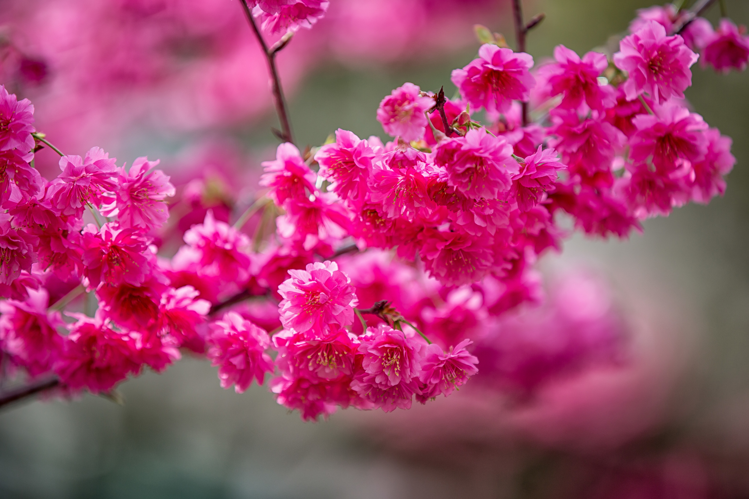
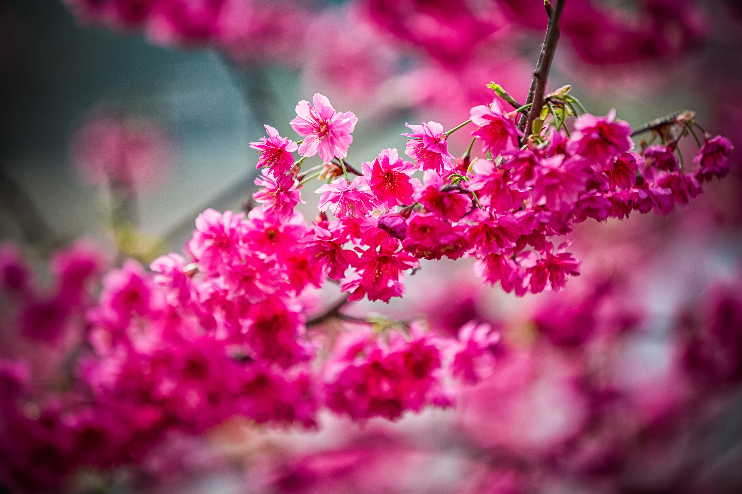
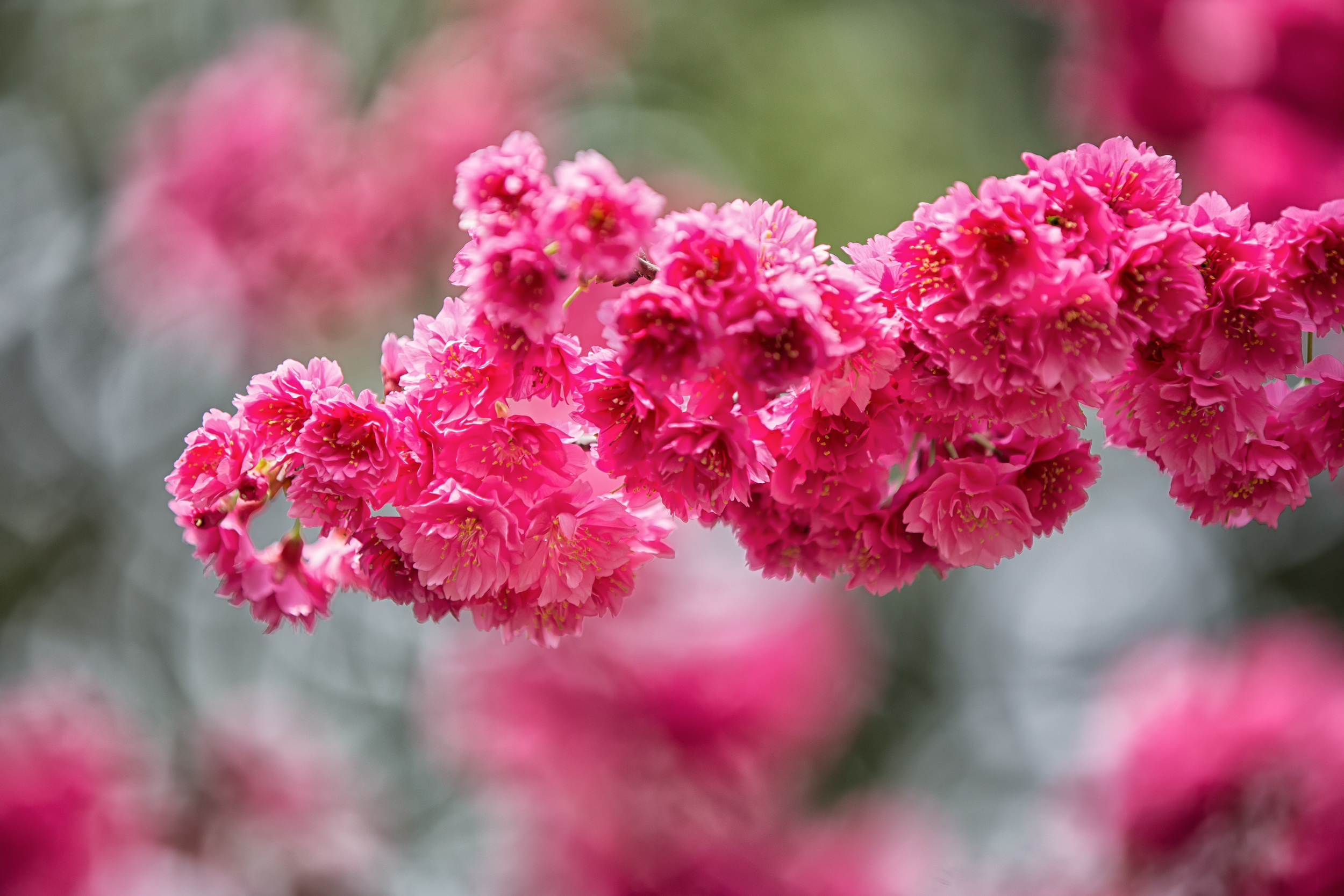
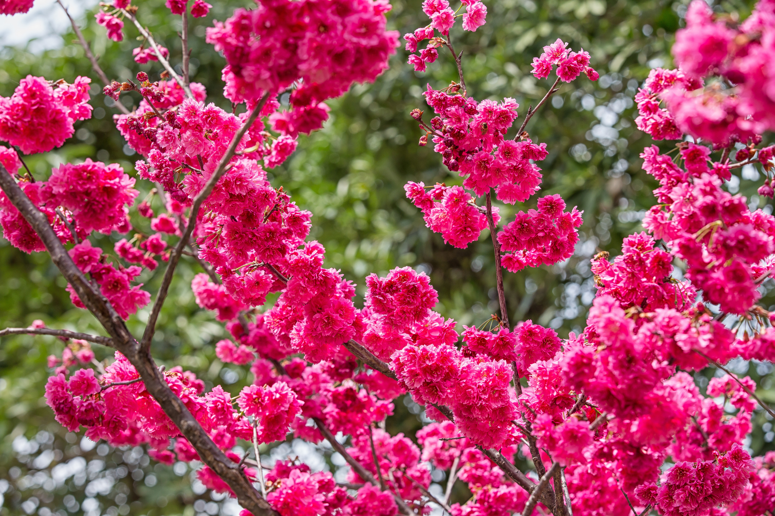
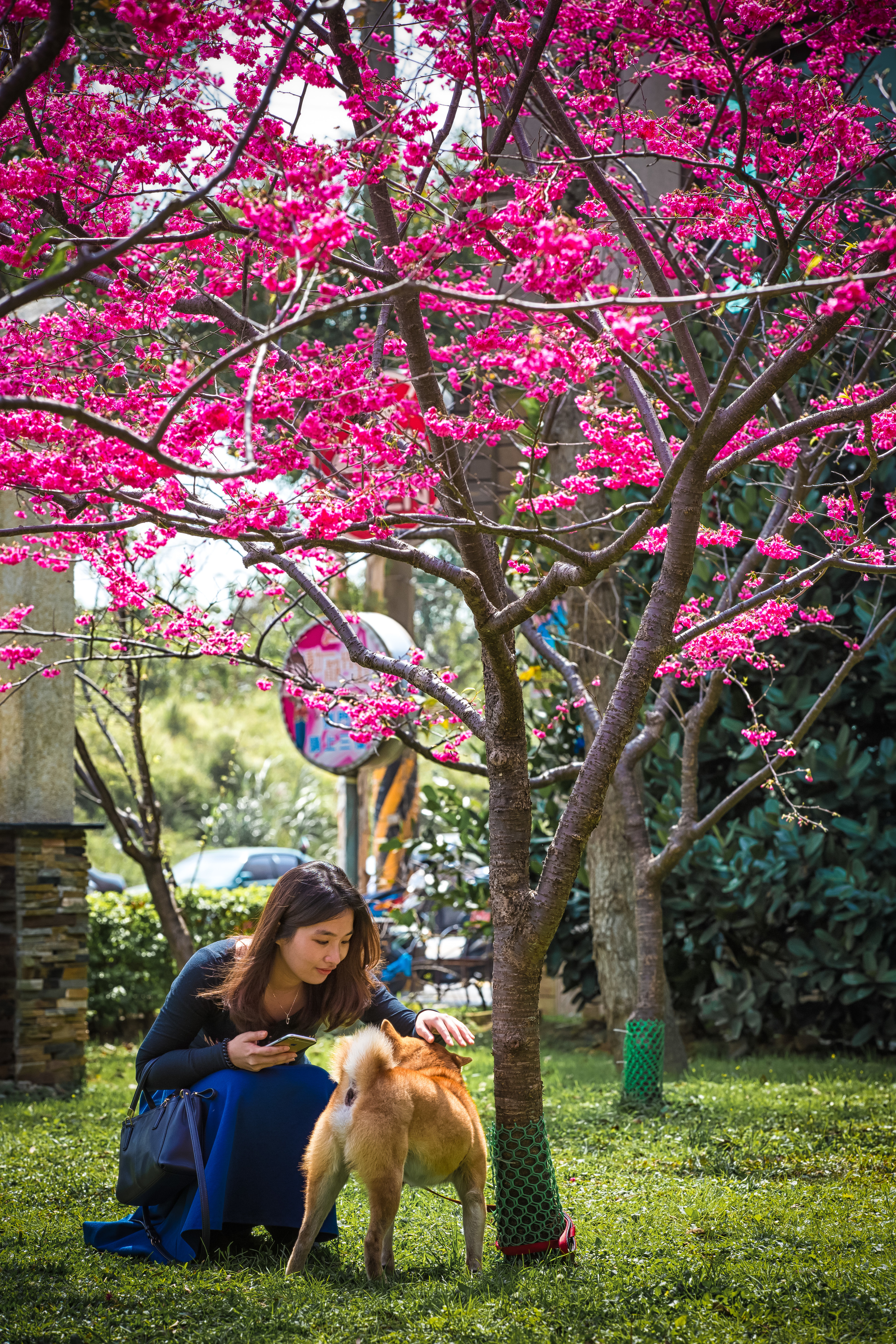
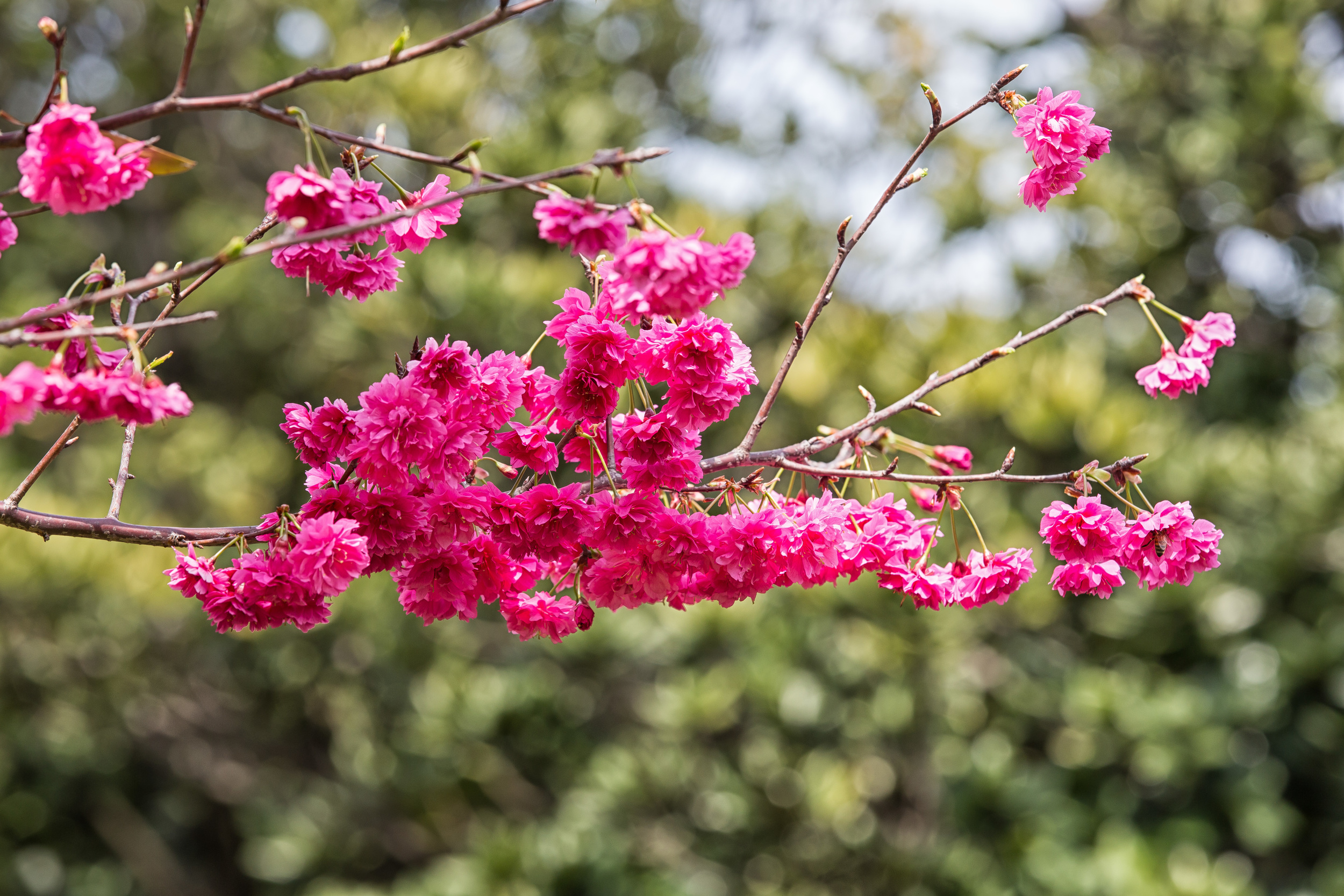
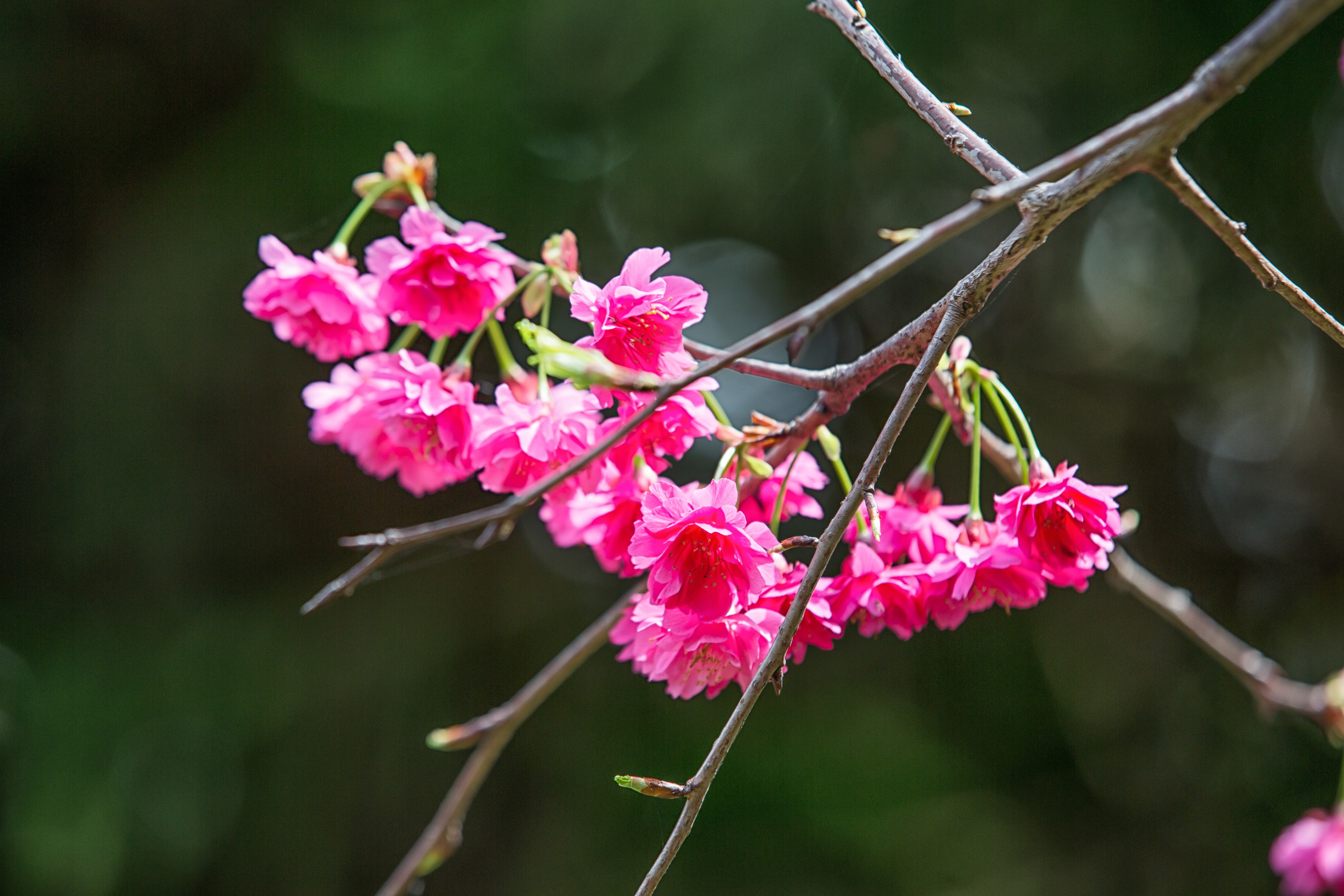
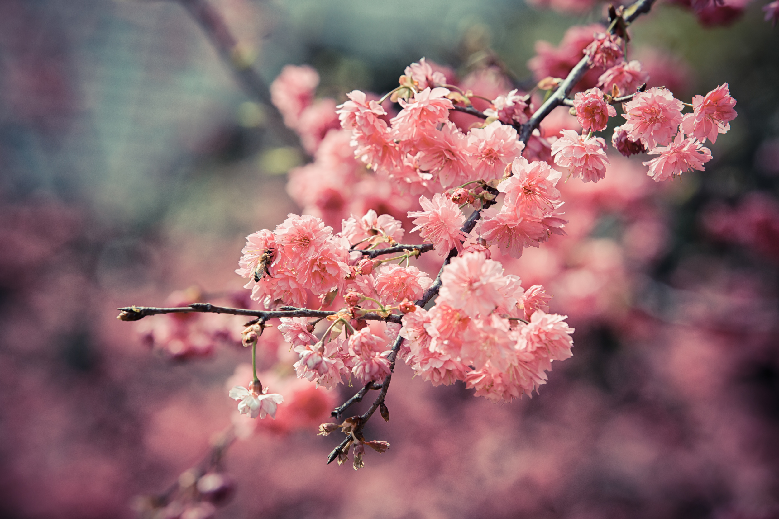
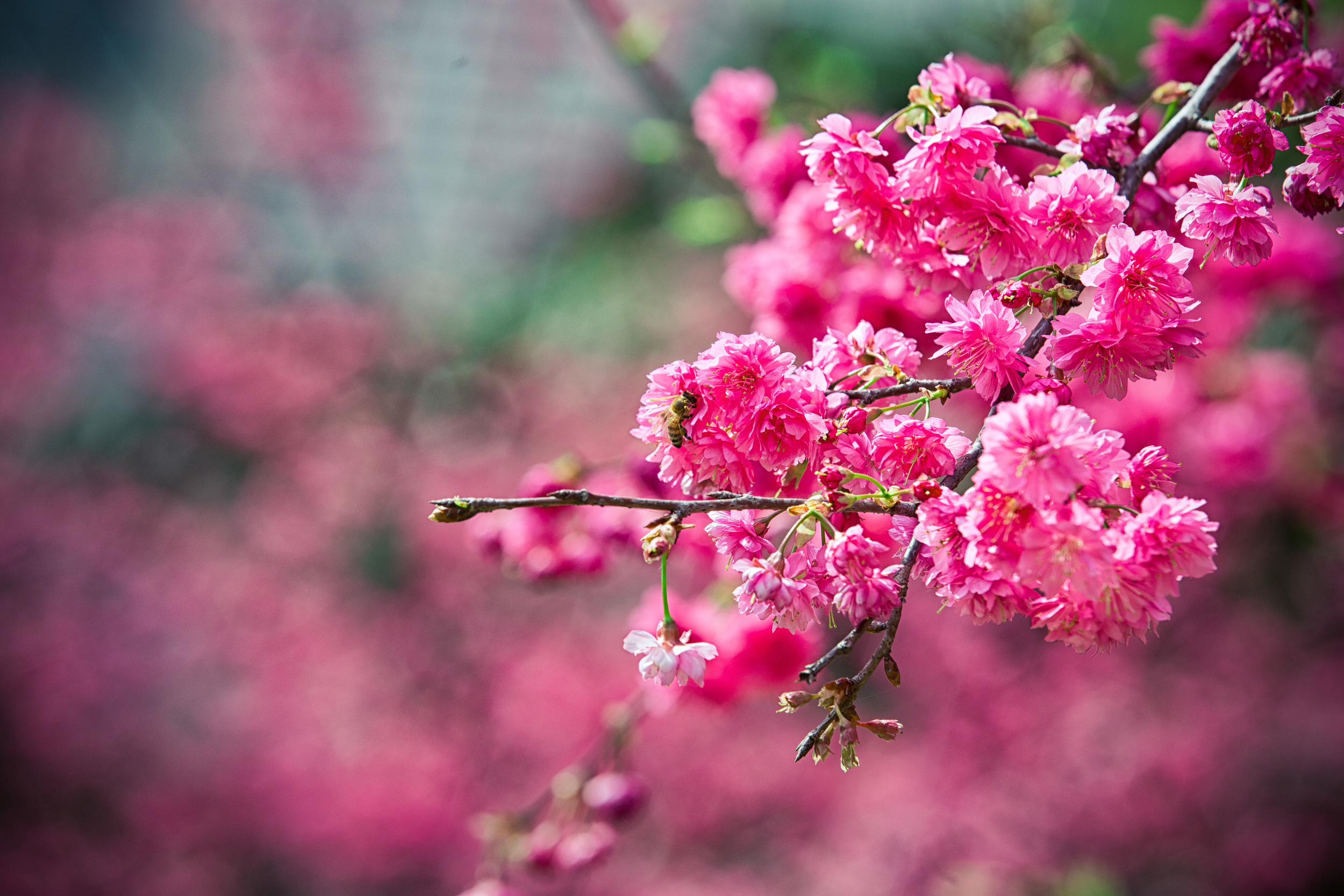
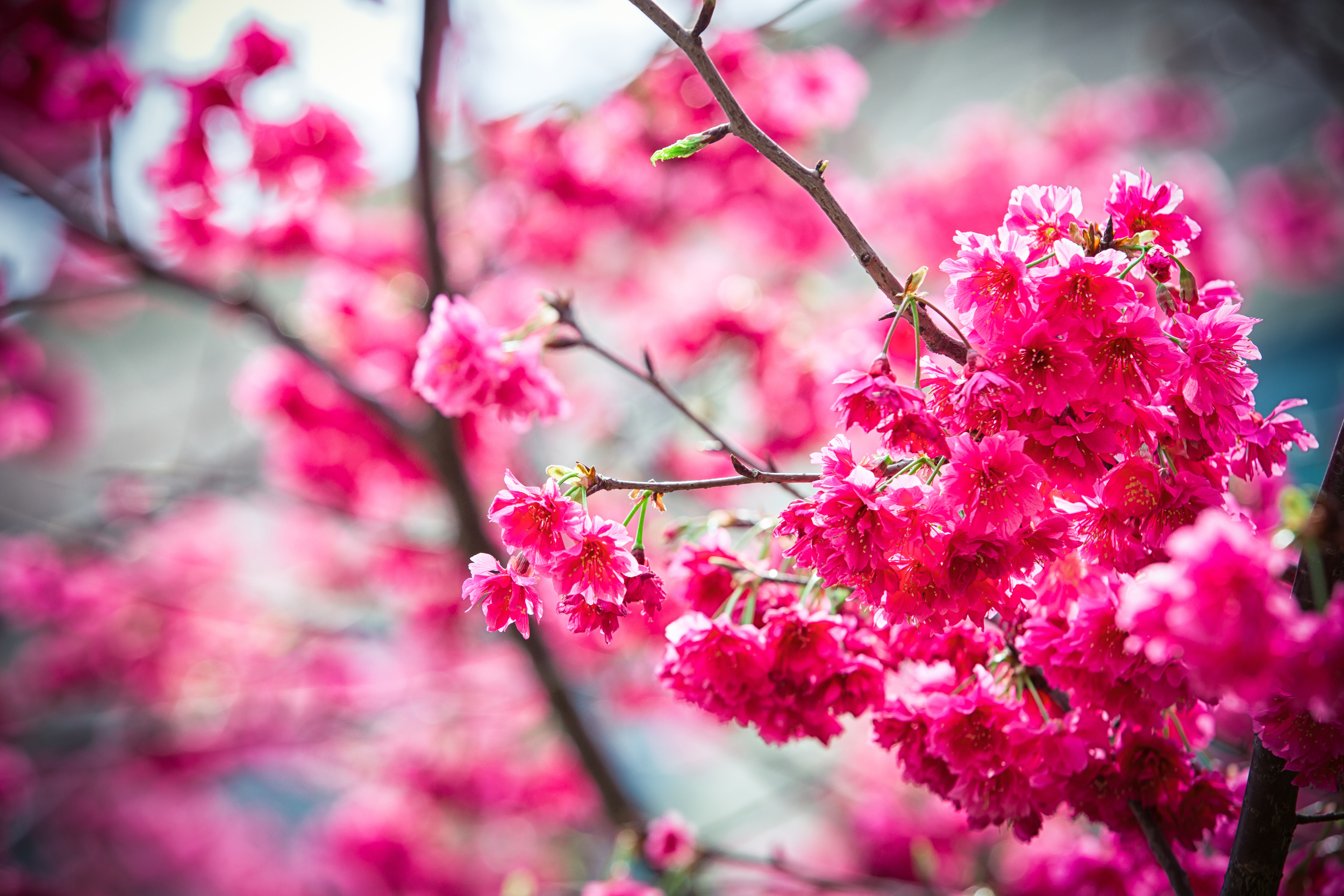
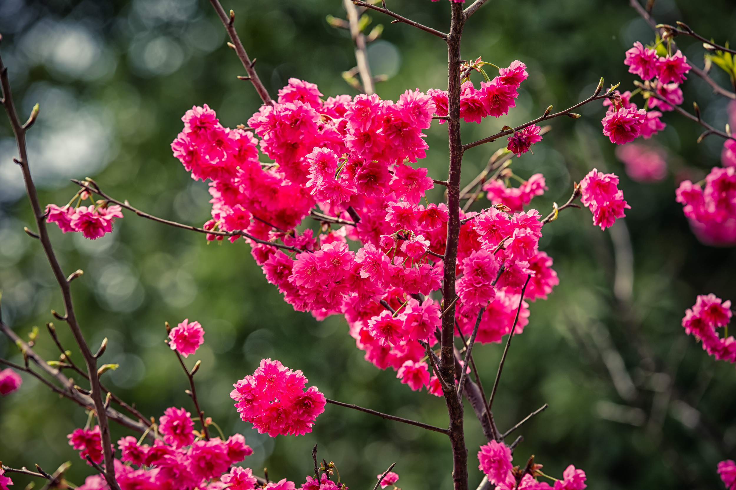
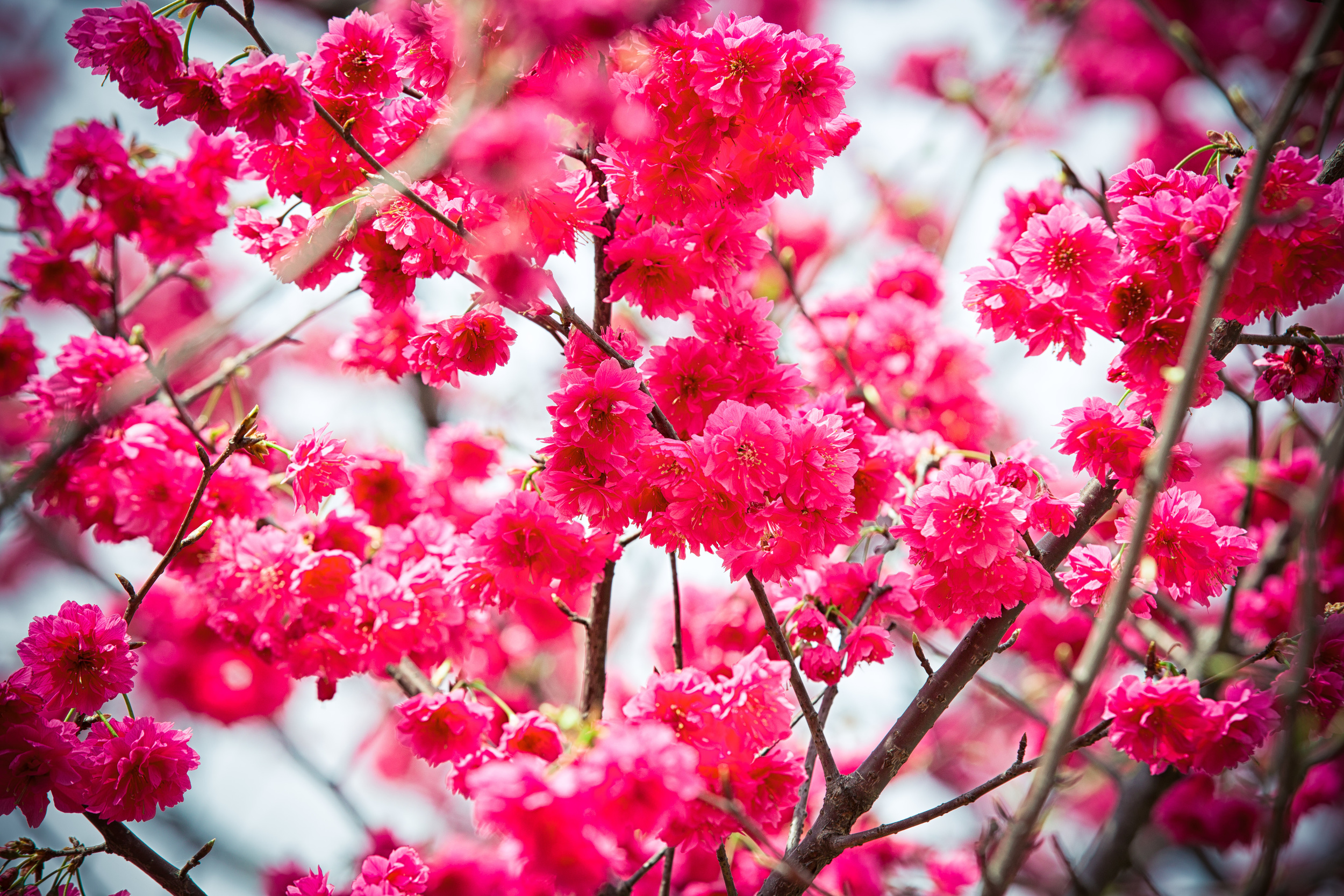
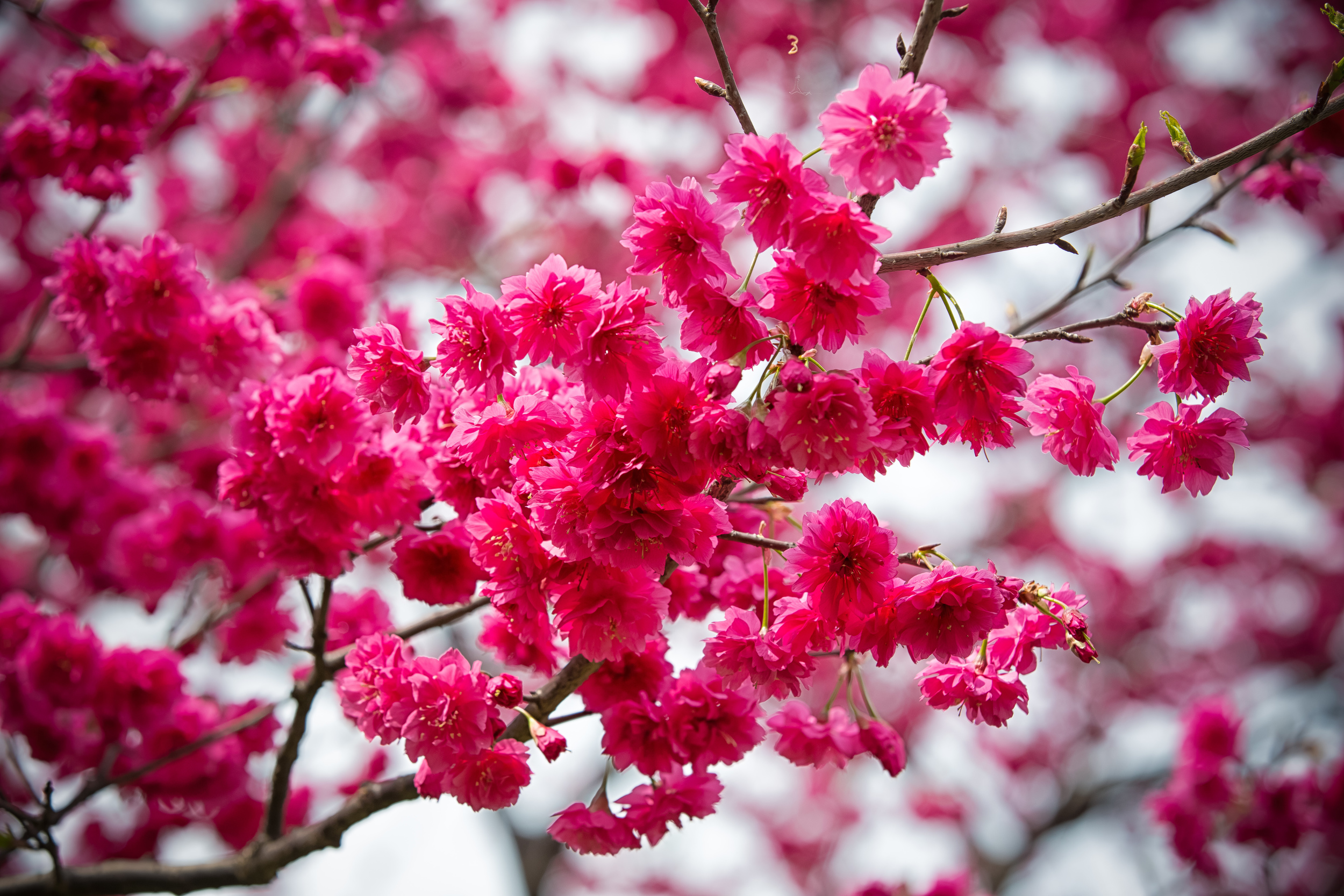
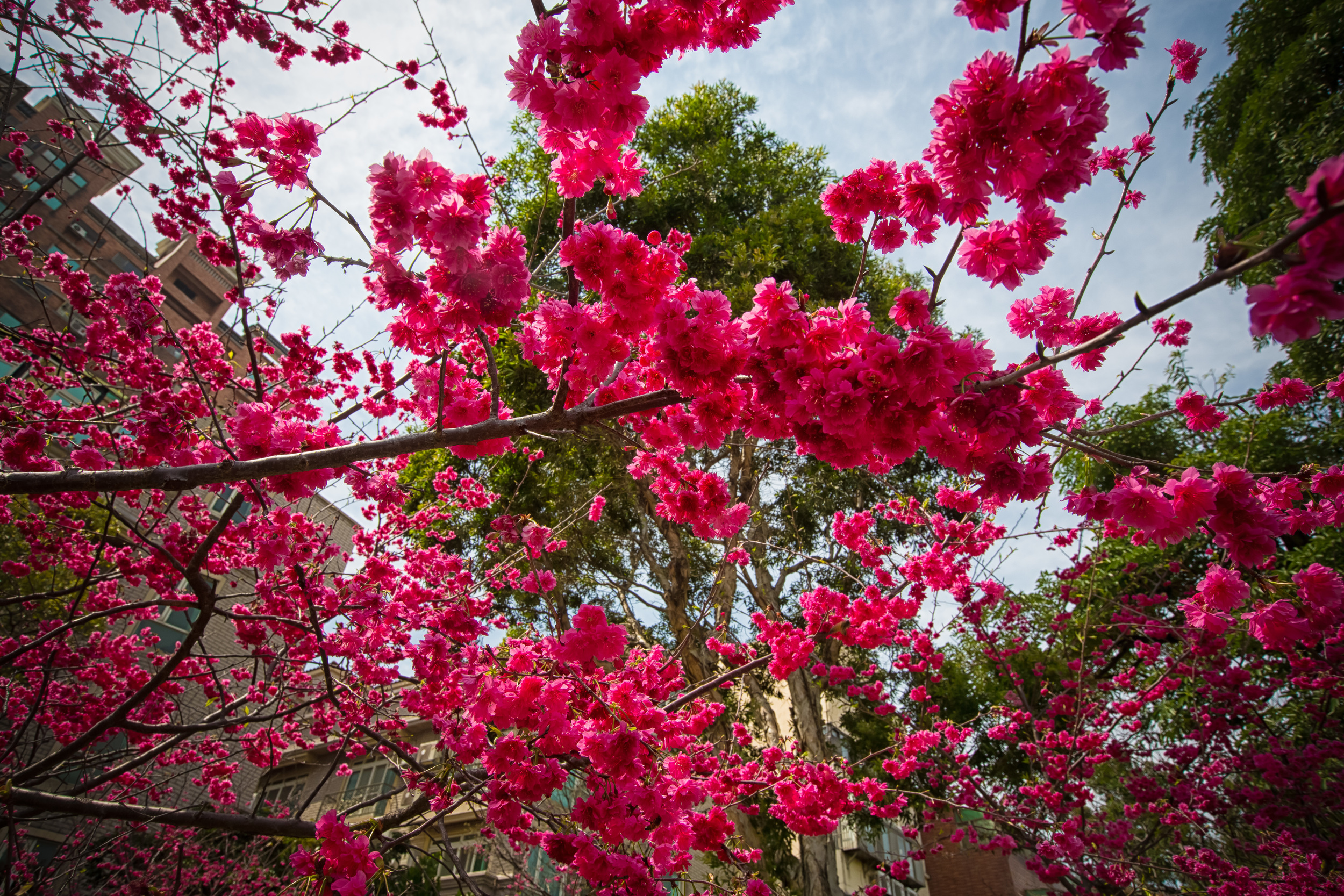
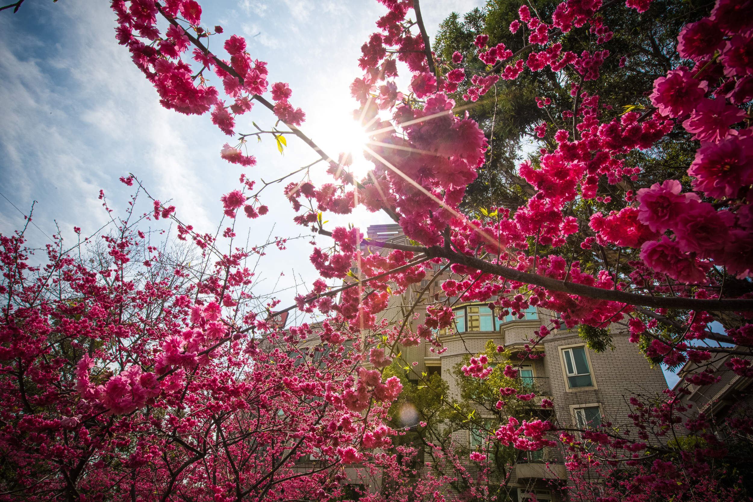
It's Sakura season here in Taiwan and the Cherry Blossoms are blooming all over the country! Taiwan has a few different types of cherry blossoms that bloom around the same time of the year and people all over the country are making their way to hot spots like Yangming Mountain (陽明山), Wuling Farm (武陵農場) and Danshui's Tian-Yuan Temple (天元宮) to see them. 

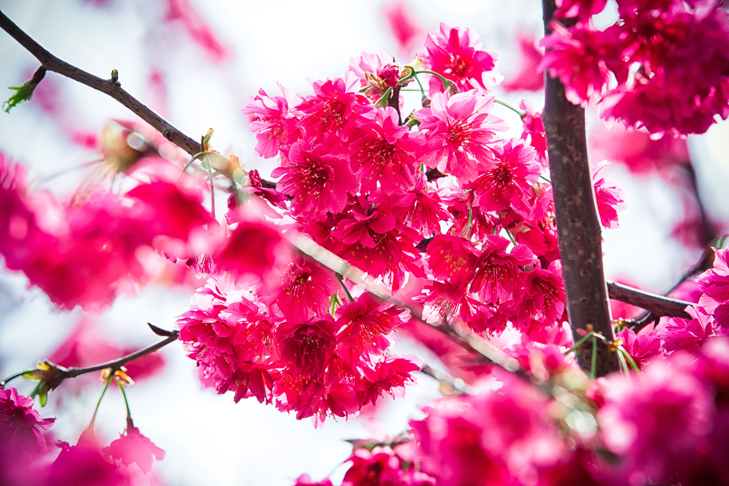
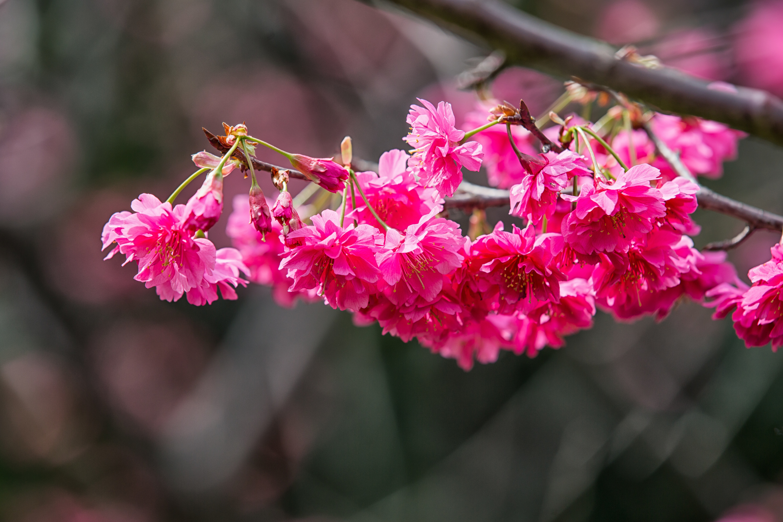
The most popular blossoms are the pink blossoms that you see in Japan referred to as "sakura" (吉野櫻) but the cherry blossoms I'm posting today are Taiwanese cherry blossoms and are from a tree that is endemic to this beautiful island.

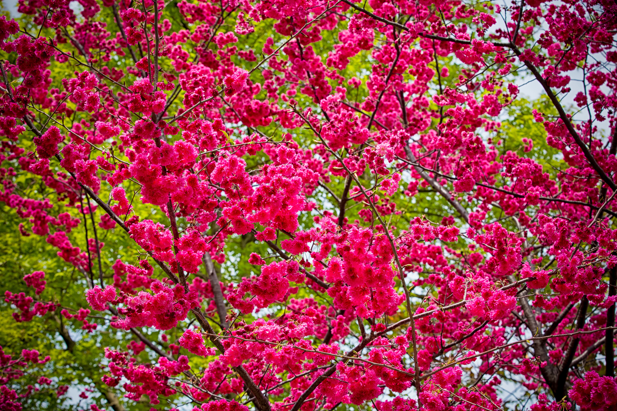
Taiwan's Cherry Blossoms known as "Mountain Cherry Blossoms" (山櫻花) are deeper in colour than the typical Japanese sakura (さくら) and when the trees turn a dark shade of pink you have no choice to respect their beauty. 

I'm not going to waste too much time with information on this one - I took these photos in a park here in Taoyuan (莒光公園) where there are about a hundred trees that bloom in early March. I hope to get to Wuling farm in the next week or two to get shots of a different kind of cherry blossom.

That's it for me. Enjoy the photos! 

If you're in Taiwan, don't miss the chance to enjoy a place with these blossoms and if you have any questions about where to see them, don't be shy: Comment below with your location and I'll give you some suggestions based on where you are! 


Huang Di Dian (皇帝殿)

The Lunar New Year holiday was a terribly busy week that had me up and on the road early almost every day and back home to sleep in my bed every night! I had to take several day trips for work-related stuff but was still fortunate to manage having some free time to get in a couple of hikes on the days in between the stuff I was doing.

One of the hikes was one that I did a while ago and wanted to do a second time and the other - the one I'm writing about today is a hike that I've wanted to do for a long time and one that I'm sure I'll go back to quite often as it was really fun!

Huang Di Dian (皇帝殿) or the "Emperors Palace" is one of the most popular trails for avid hikers in northern Taiwan and is often compared with Wuliaojian (五寮尖) in terms of difficulty and of course the sense of accomplishment you feel when you reach the top. The hike is quite difficult and shouldn't be taken lightly - but if you are in relatively good shape then it shouldn't really be a problem!

I've hiked Wuliaojian more times than I can count and when I'm in need of a full body workout it is my go-to trail that gives me the exercise I so desperately need.

Some people compare the difficulty of these two hikes and will say that Huang Di Dian is JUST AS difficult or even more difficult than Wuliaojian. I can't really say that I agree with those assessments as Huang Di Dian seemed much easier than I was expecting and the day after the hike when I woke up I didn't feel like my body had died over night.

The difficulty (for most people) with Huang Di Dian really just depends on your method of transportation to the trailhead. If you are arriving by car or scooter then you will have a much easier experience than those who take the bus and have to hike to the trailhead.

If you arrive by car you can easily park by the trailhead and start the hike directly. If you are like most people (including myself) you probably will have arrived by means of public transport and that requires a long walk up a paved road to the trailhead.

The walk from the bus stop to the trailhead could add 20-40 minutes based on how fast you walk and can be just as difficult for some as the hike itself can be.

Small temple near the trailhead

Once you arrive at the trailhead there are two options and it's really important that you pay attention to this part - No matter which option you choose, you are going to come face-to-face with about 30-40 minutes worth of stairs which (If you just walked up that road from the bus stop) will be the worst part of the hike for the majority of people.

Now here's the important part: There are two trailhead markers and a map. The map will show you the trails and what the hike will look like. The trail beside the map leads to the East Peak (東峰) while the trail to the left takes you to the West Peak (西峰)

The trail going to the East Peak is the easier route but I don't recommend taking it - I recommend taking what's considered the more difficult route, not because it is more difficult but because you will get to enjoy much more scenery as you ascend and will be able to easily get to the Western Peak, a few other ridges and the East Peak in a short amount of time.

If you take this route, the walk down to the parking lot from the East Peak is much easier and is mostly covered by trees. This route is also a lot easier on your knees and once you reach the road you can walk slowly back down rather than descending a bunch of ridges, the mountain and a long set of stairs.

When we reached the trailhead a scooter pulled up beside us and dropped off an old woman. The old woman wasn't wearing hiking gear and didn't have a backpack so we asked where she was hiking? She replied that she was "going home' which kind of confused me. This is a popular hiking trail - What home? She went on to explain that her home was about 20 minutes up the hill and that she takes care of a temple up there. The interesting thing was that while we were taking a break, she passed us and gave us the normal '加油' (Go, Go, Go!) and once we made it to the temple she was there to greet us and asked us to sit down for a drink and to take a break.

She had water, snacks and gloves available to the hikers who were braving the trail and it got me thinking: How does she get this stuff up here? She would have had to carry it up herself. It amazed me that a woman of her age could carry that stuff up such a terrible set of stairs.

Senior citizens in Taiwan never cease to amaze me. They are battle-hardened war machines that put youth to shame and I love it!

Once we passed the temple we quickly rid ourselves of the annoying stairs and were into the climbing part of the hike. The path isn't as steep as the stairs but through the trees you can see some pretty awesome scenery. After about five minutes of climbing you come up to a cliff with a chain that you have to climb up. Truthfully you don't even need to use the chain. I had my camera in one hand and walked up the cliff easily enough.

After climbing up the ridge you get to the cool part of the hike, the part that everybody came for - the ridge walk. The ridge walk on this hike is actually a lot more beautiful than what you get at Wuliaojian and I found myself stopping for long periods of time to enjoy the view.

The western peak of this hike has great views and if you're brave enough you can climb up on the ridge, have a seat, eat a snack and enjoy 360 degree views of New Taipei City. On a clear day you can even see as far as Taipei 101!

After sitting on the ridge and finishing off a quick snack we moved on for the short hike to the East Peak - If you take the route I mentioned it should only be about a 15-20 minute hike to the East Peak although there is a bit of climbing involved.

The views from the East Peak are much better than the previous one and it can be a bit scary if you stand on top of the ridge and walk towards the edge. I stayed on the peak for a while but I was sweaty and the it got really windy so I decided it was time to head back to the parking lot.

We were unfortunately running out of time and didn't have time to continue on further past the East Peak. If you do have time though you can continue on past the East Peak to another cliff face and a bat cave. In the future, and time permitting I will update this post with photos from the bat cave as it seems like another pretty awesome place to visit on the hike. 

From the East Peak, the parking lot is a short walk down some tree covered stairs and if you take the route I mentioned it should be a bit more relaxing than your way up. Once back at the trailhead you'll be able to use the bathroom, throw out your trash (DON'T LITTER) and take a break on the benches.

If you took the bus you should be careful to check the bus times and be sure to make your way back to the bus station before the bus leaves - which brings me to the practicalities of this hike:

If you are taking the bus, you need to be careful. You need to take what other bloggers have termed "The Bus from Hell" (#666) from either Jingmei (景美站) or from Muzha MRT station (木柵捷運站) The problem is that bus #666 has several destinations. You need to make sure that you take the bus that goes either to "Huang Di Dian" or "Huafan University" (華梵大學) otherwise you are in for a long hike from Shiding Old Street (石碇老街.)

The best way to do this is to ask whatever friendly Taipei bus driver who is driving the bus where the bus is heading and whether or not he or she could drop you off at the bus stop. Likewise when you need to head back to Taipei you need to make sure what time the bus will arrive at the station to pick you up.

Remember to wear some hiking shoes, bring a raincoat (just in case) and bring some water and snacks. You could also plan pretty epic (or romantic) picnic with friends (or your loved one) on one of the ridges so bring whatever suits your needs!

This hike is now probably my second favourite hike in northern Taipei and if it weren't such a pain in the ass to get to, I'd hike it just as often as I hike Wuliaojian. The ridge walk is really fun and the scenery from the peaks is honestly a lot better.

Don't let people fool you that this hike is difficult - when I did the hike there were children, fathers, mothers and grandparents enjoying the beautiful scenery.

You CAN do this hike and you SHOULD do this hike!

It's a great time and an easy enough hike for the whole family or a group of friends to enjoy! Have fun and be safe!

If you have any questions, comments or criticisms don't be shy - comment below and I'll get back to you pretty quickly!